


Comments
No comments posted yet.
|
|
Trip Report |
|---|---|
|
|
36.42907°N / 114.45799°W |
|
|
Download GPX » View Route on Map |
|
|
Feb 6, 2022 |
|
|
Hiking |
|
|
Winter |
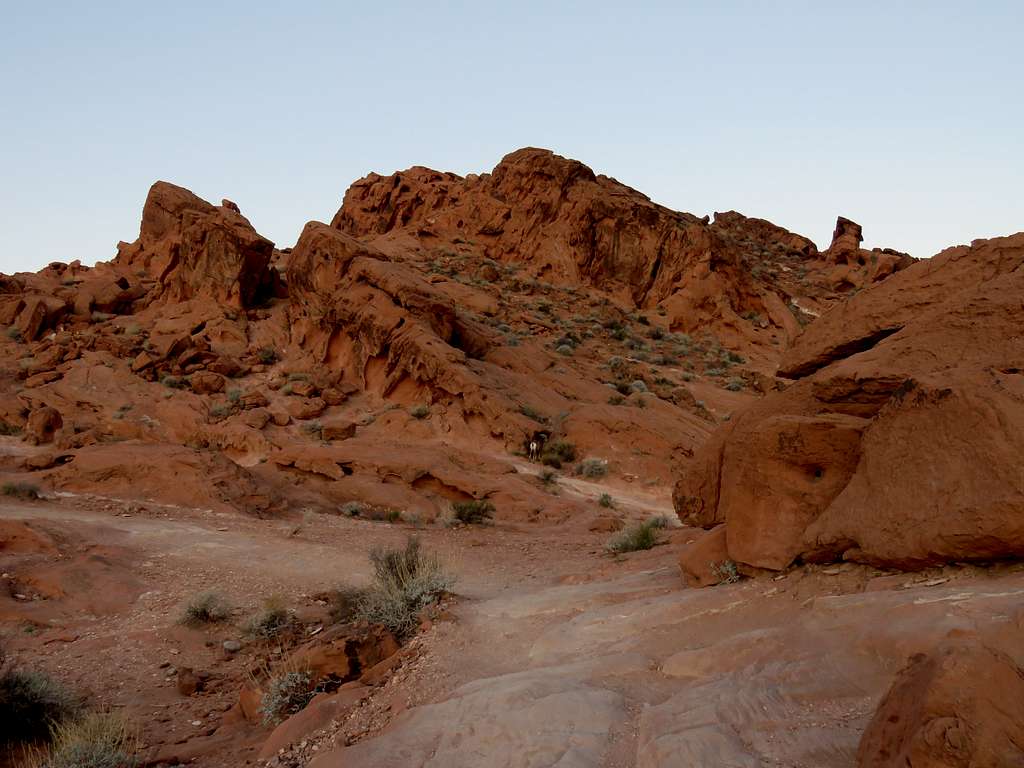
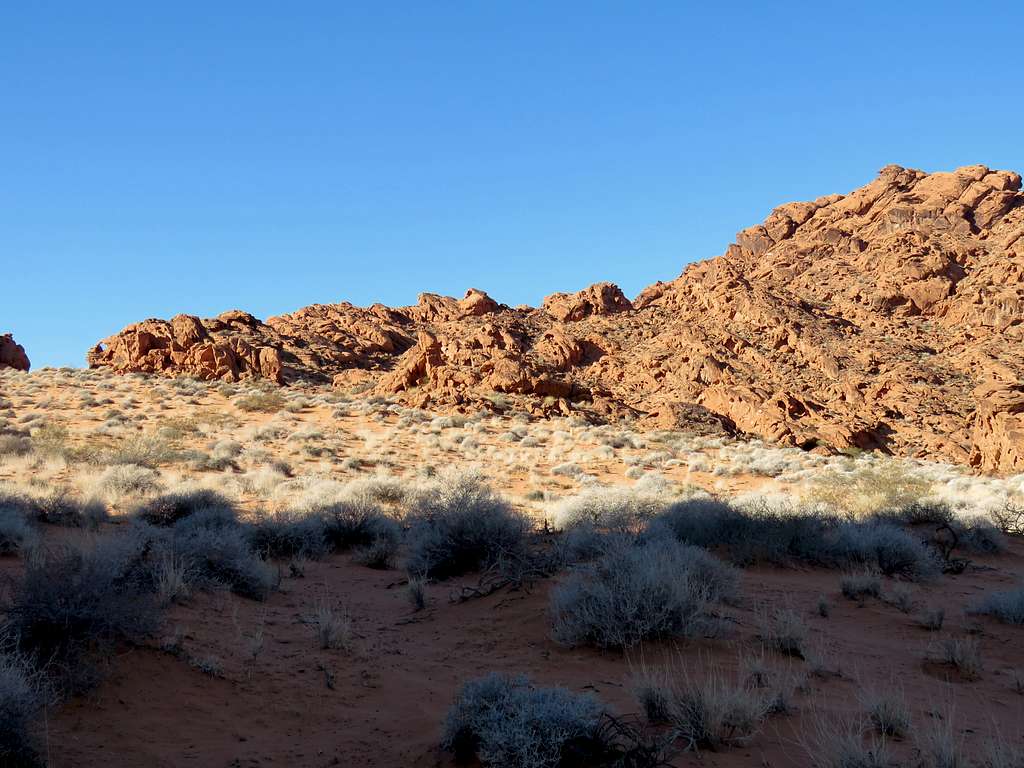
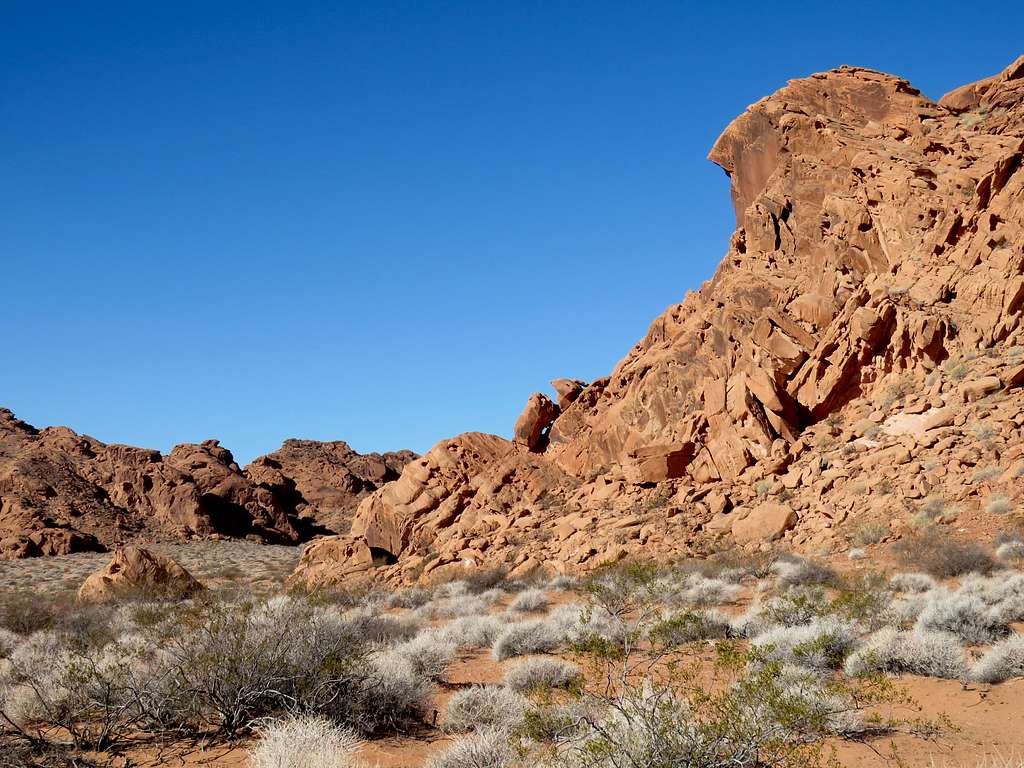
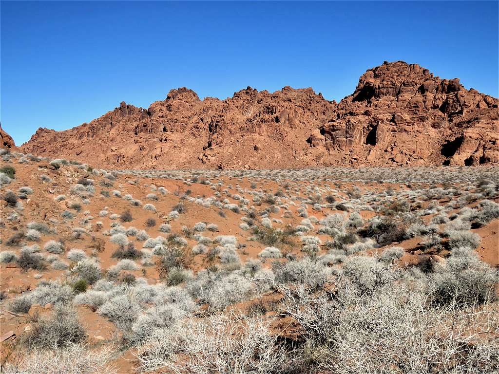
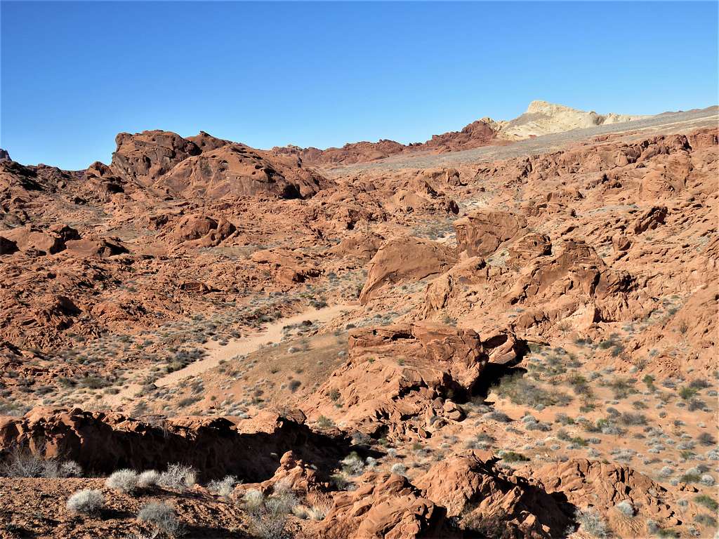
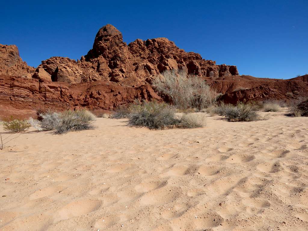
Valley of Fire State Park is an hour drive north of Las Vegas, Nevada and preserves colorful slickrock mountains and canyons. Using the map on this website, I entered the location of 16 different arches into my GPS and went in search of them. The website gave names to many of the arches but I designated them alphabetically as Arch A through P on my map. Except for Elephant Rock (Arch A) and Arrowhead Arch (Arch P) which sat close to the park road, the rest of the arches where not signed and did not have a trail. Using Google Earth, I came up with a loop path that took me to the arches and avoided obstacles. Arch H and Arch I did not seem to exist and I cut my hike short not going to see Arch O. On the other hand, I ran into many other arches that were not marked on my map.
Hike Length = 8.3 miles
Minimum Elevation = 1675 ft
Maximum Elevation = 1920 ft
Left the vacation rental condo in Lake Las Vegas at 5:30 a.m. (Sunrise 6:40 a.m.) and drove more than 50 miles to Valley of Fire State Park and parked at Elephant Rock Trailhead. No one was there. It was 45 degrees F and very windy making it feel colder than it was.
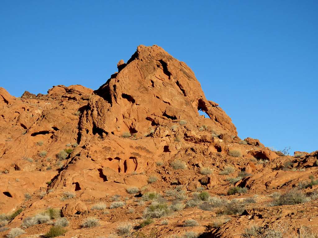
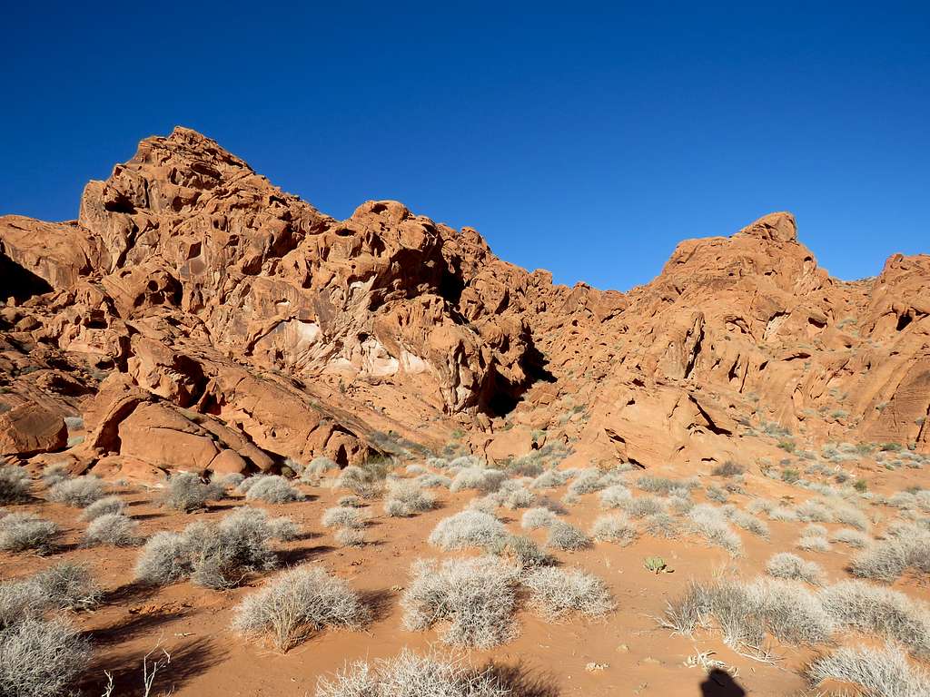
Started my hike at 6:40 a.m. View from Elephant Rock Trailhead.
Zoomed view.
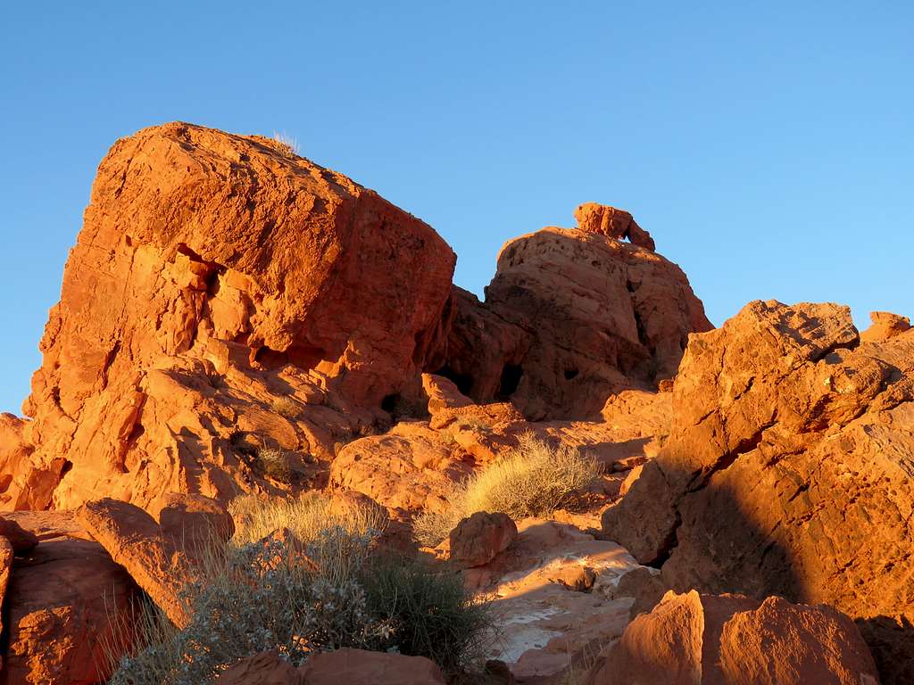
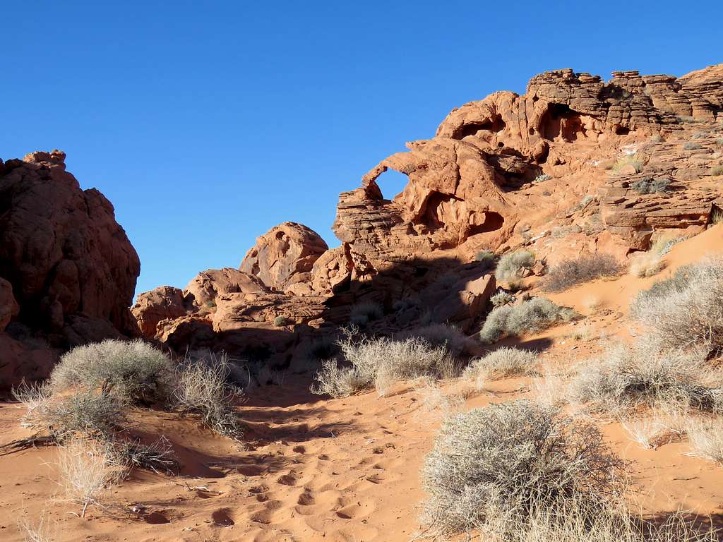
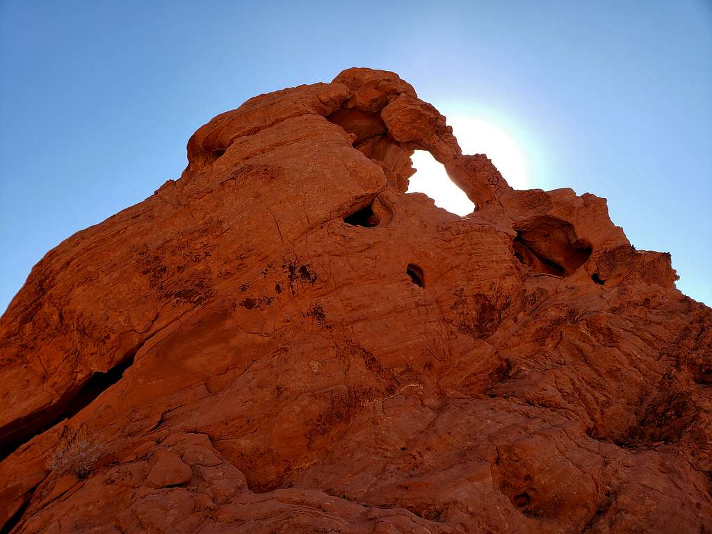
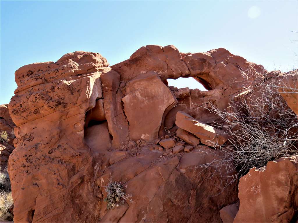
Hiked a short distance to get a view of Arch A (Elephant Rock) from the south side of it.
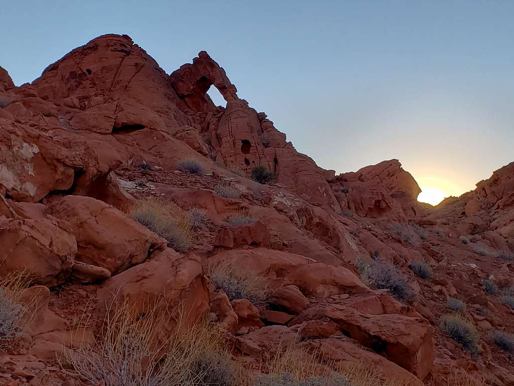
Went up a slickrock slope to the north side of Elephant Rock (Arch A) just as the sun was rising.
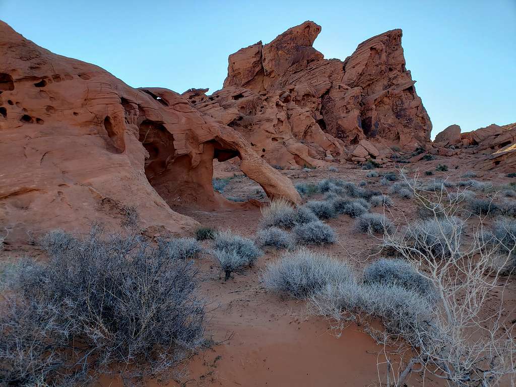
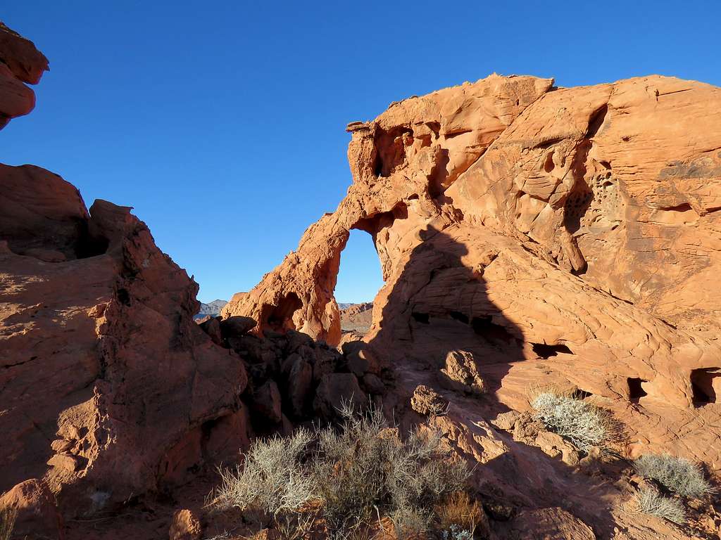
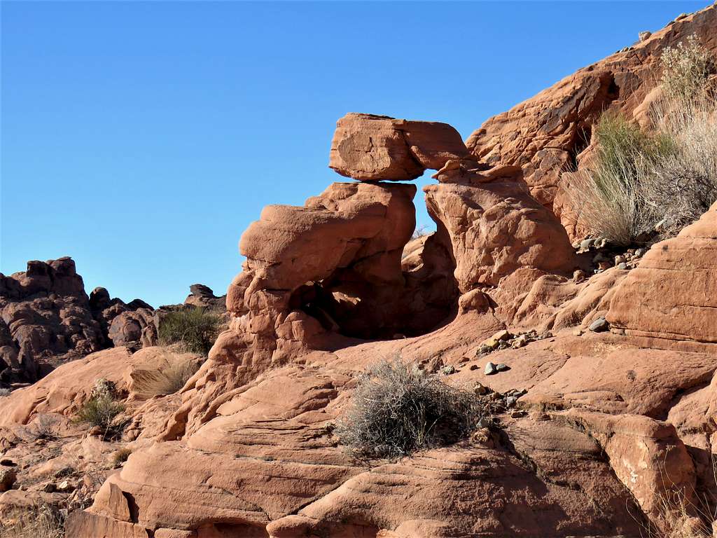
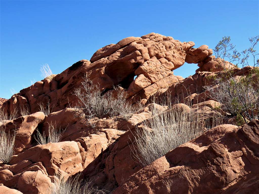
Up a slickrock slope to get views of this little arch, which I suppose was Arch B.
Other arches not designated on my map.
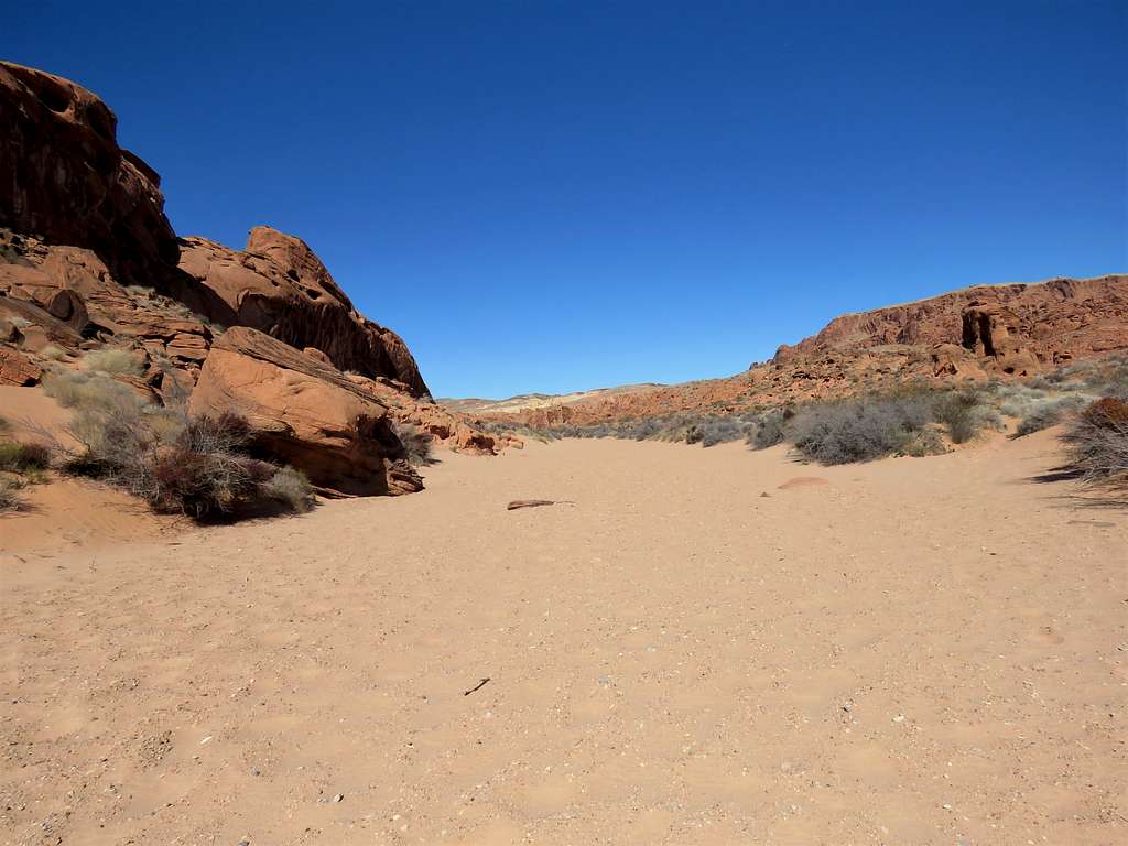
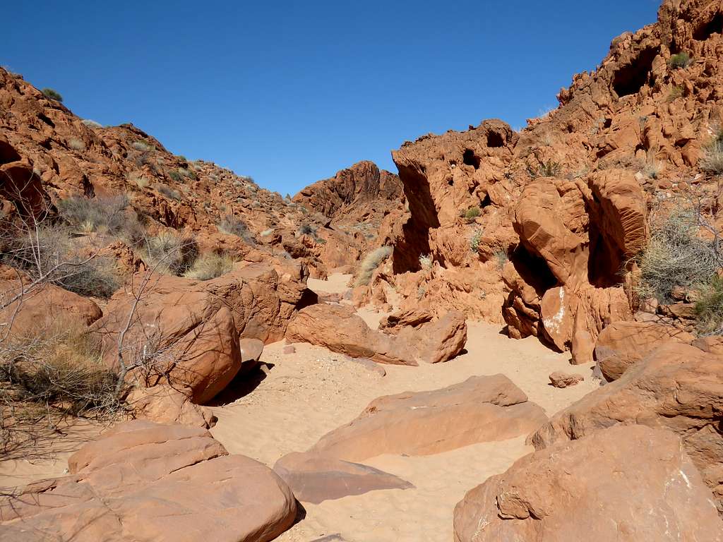
Went down into a wash.
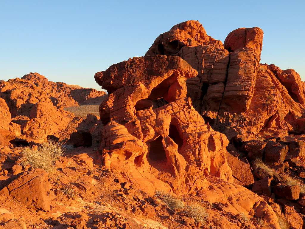
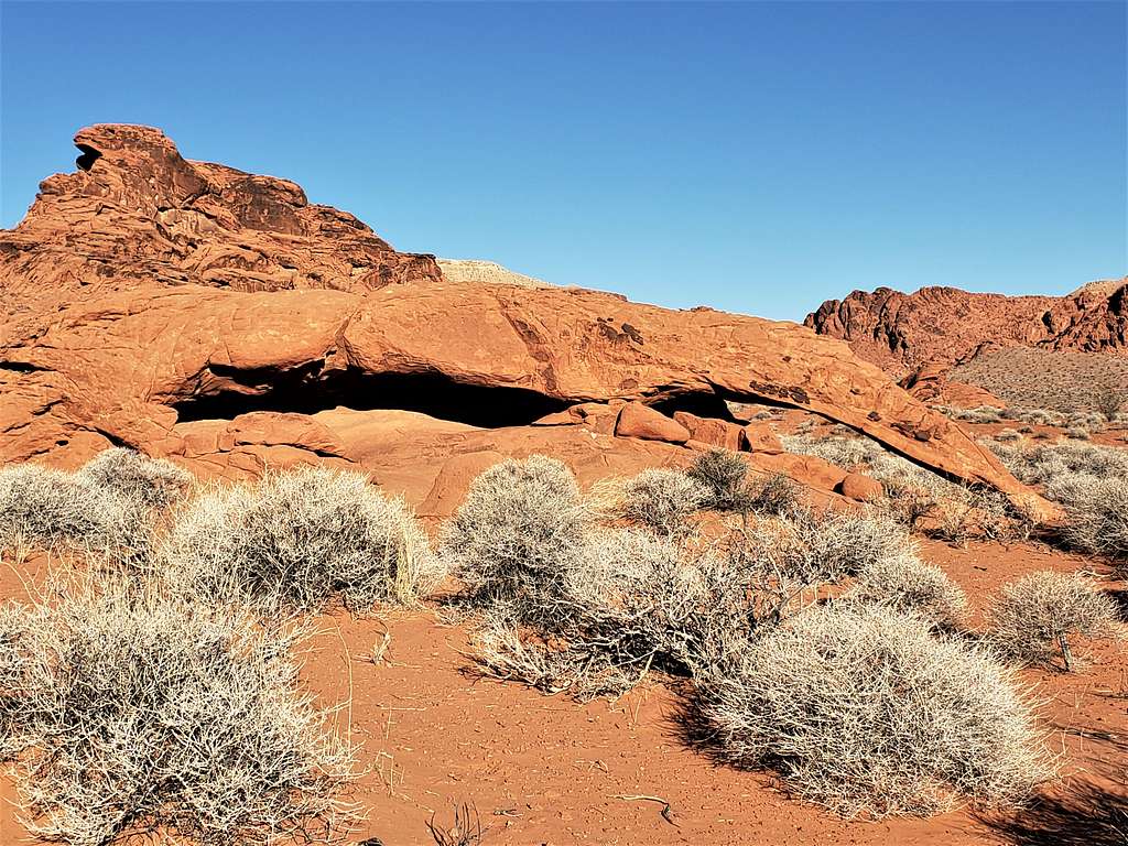
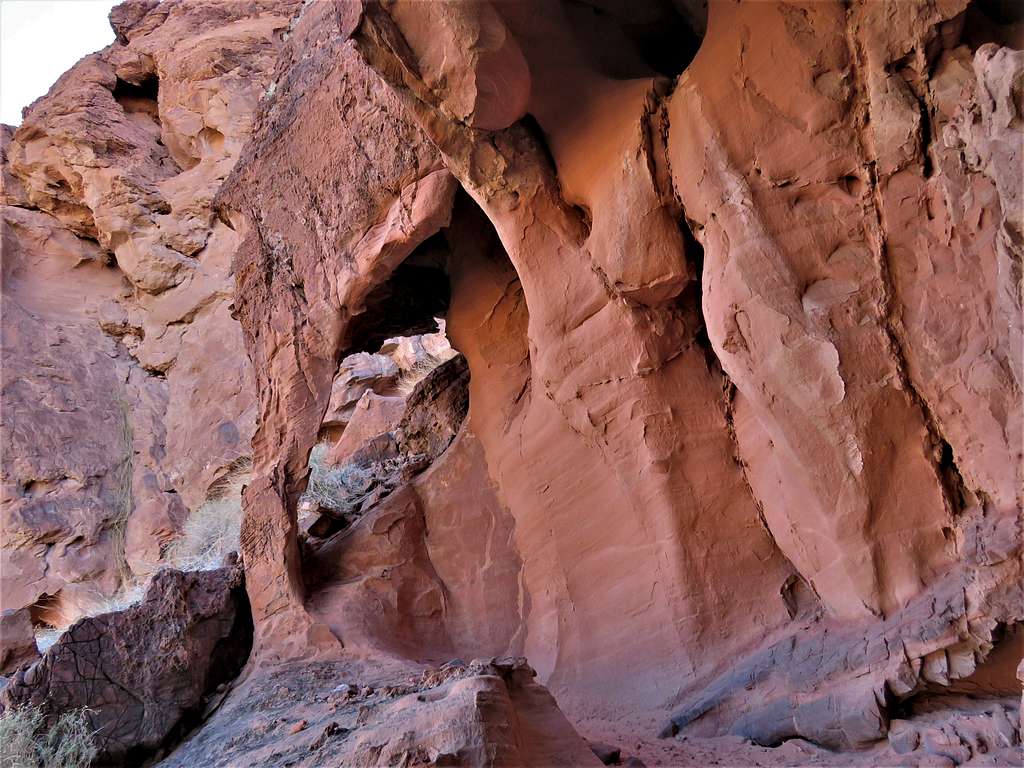
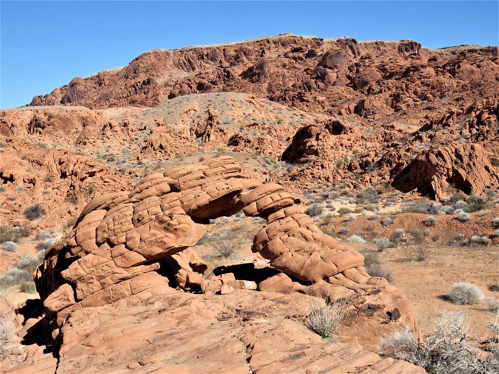
Arch C.
The wash turned into a canyon with boulders at the bottom of it. From far away, I saw an arch that I assumed to be Arch D.
Turned back and went down the wash. Arch C area (quite frankly, I can not say if these are shots of Arches C and D or other arches).
Exiting the wash, found another arch I was not looking for.
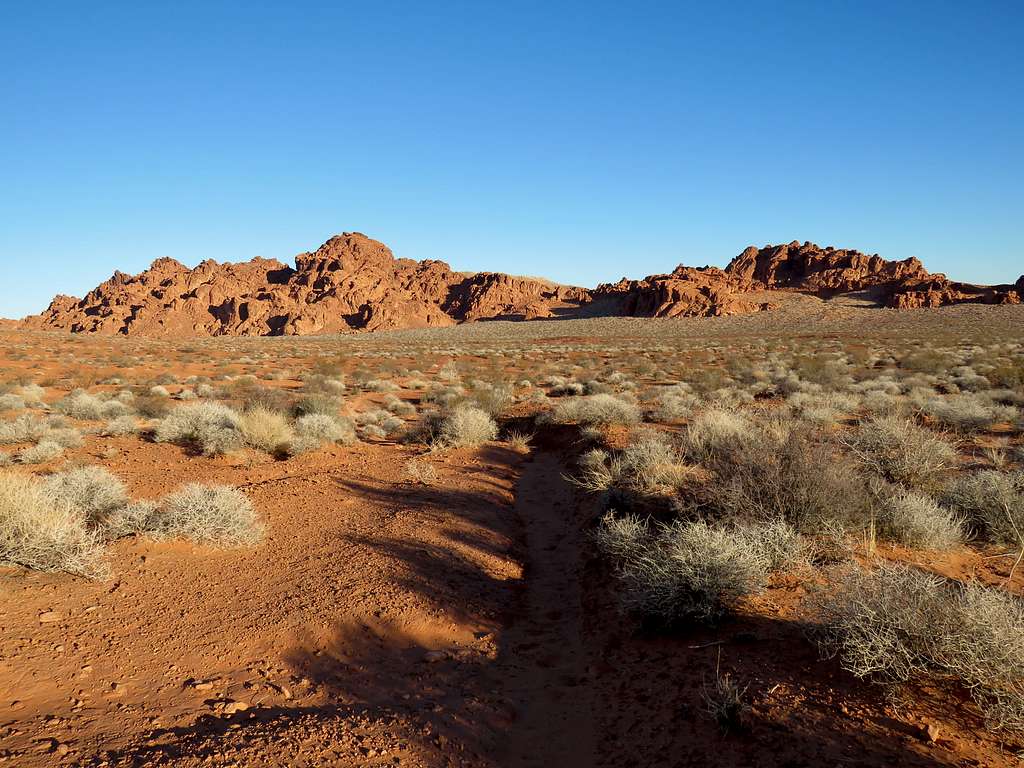
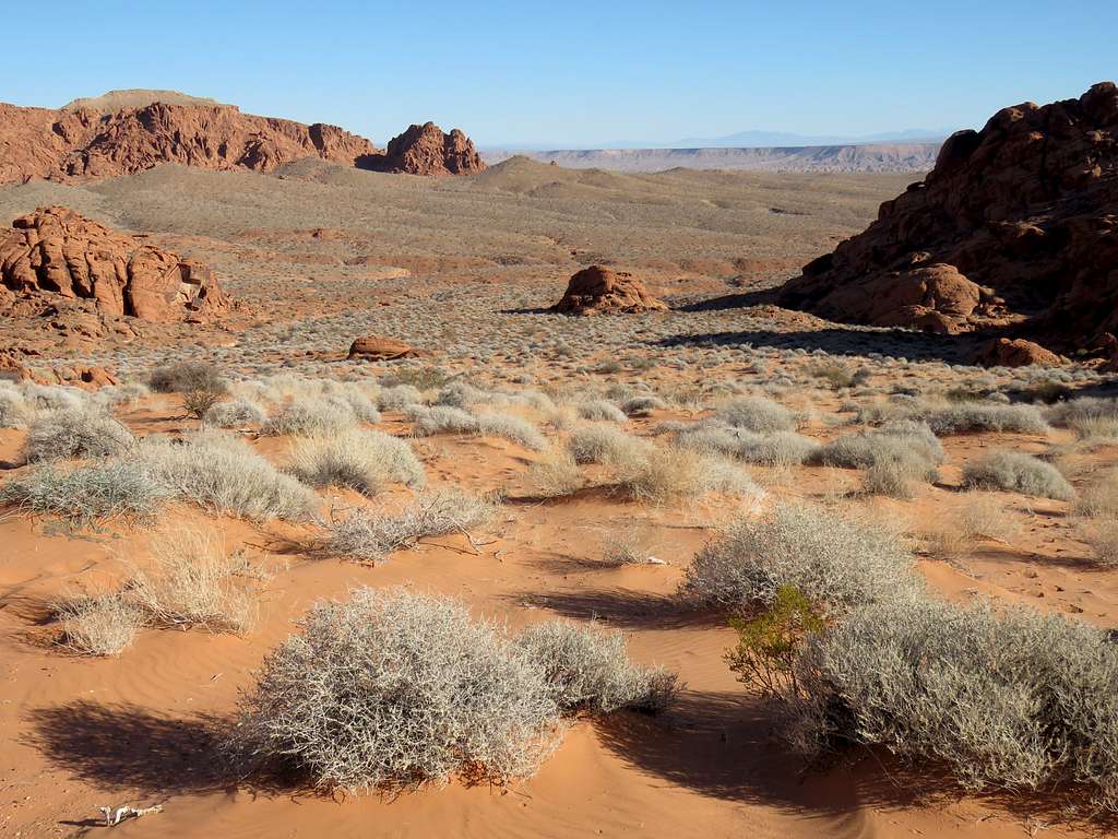
Got on a sandy plain and followed the remains of an old dirt road 1.2 miles northeast toward Arch E.
The two sides of Arch E.
Other arches I was not looking for.
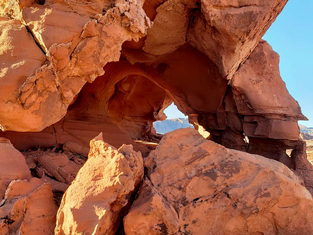
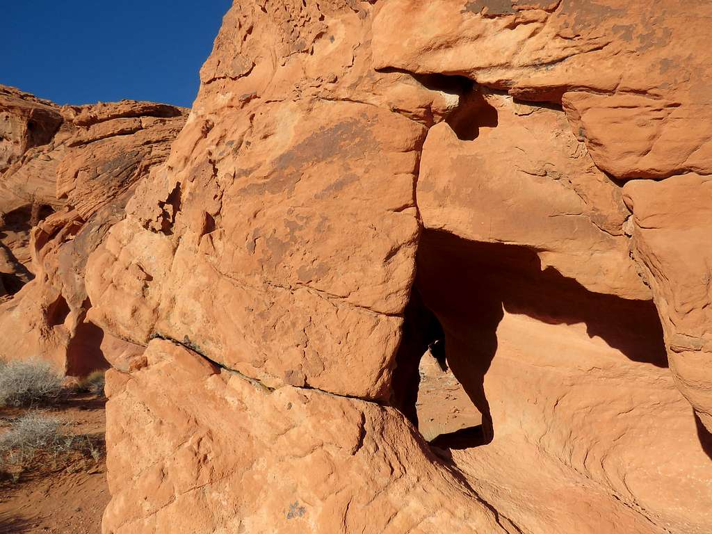
Interesting rock with a tiny window visible on the left.
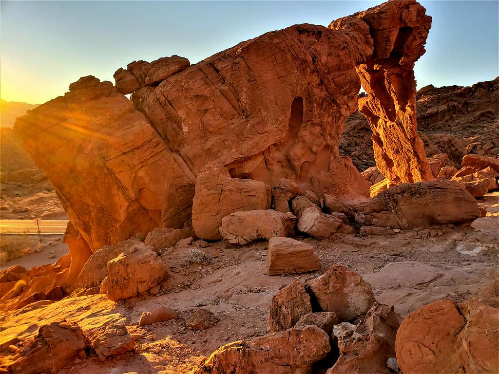
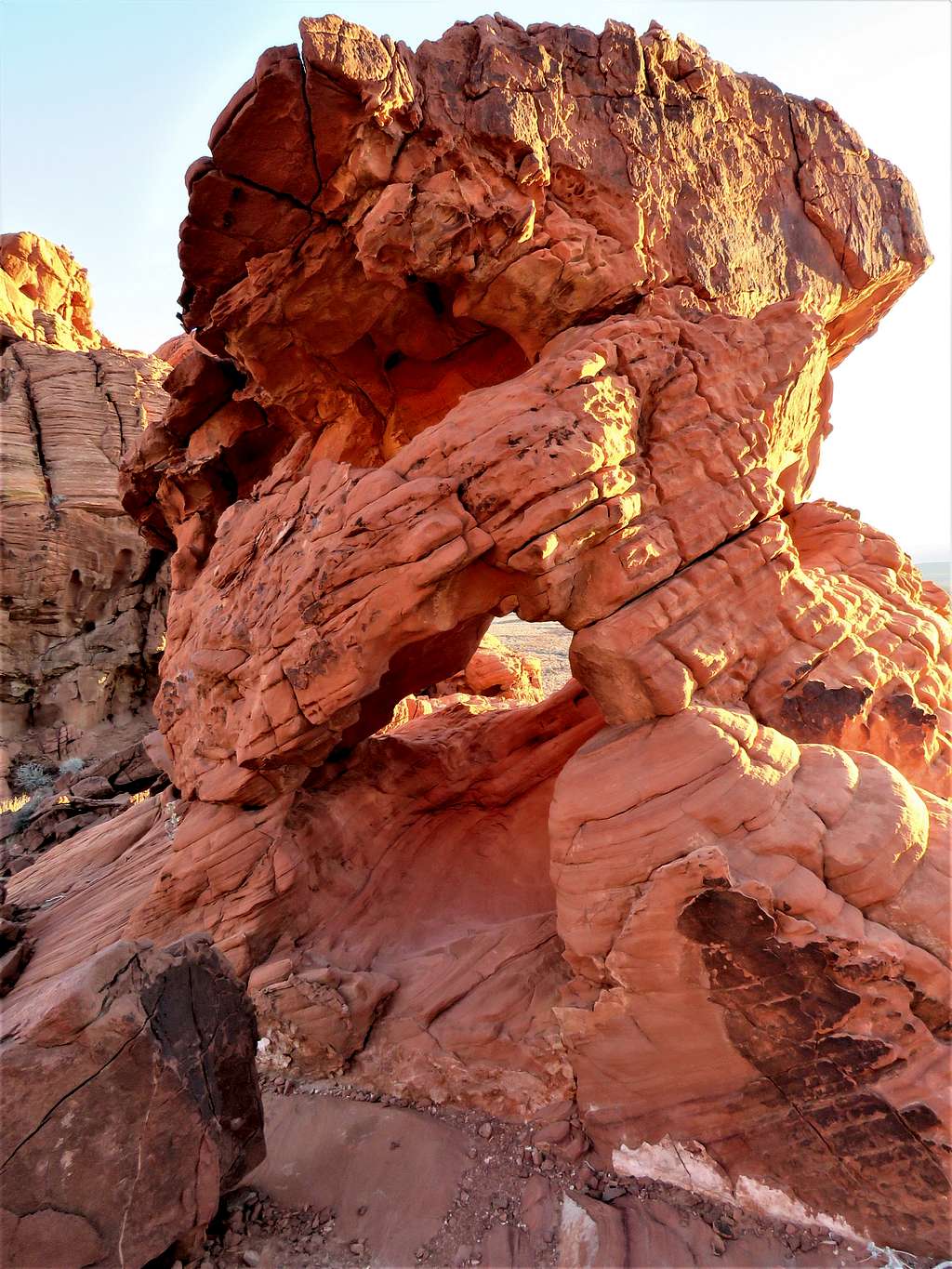
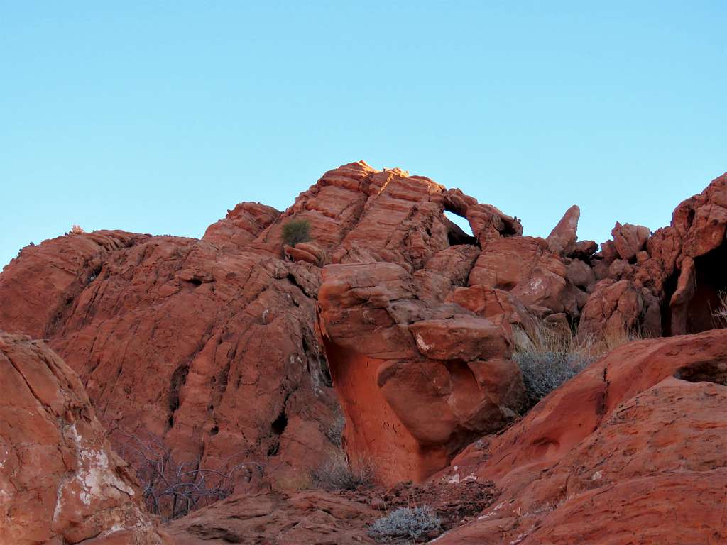
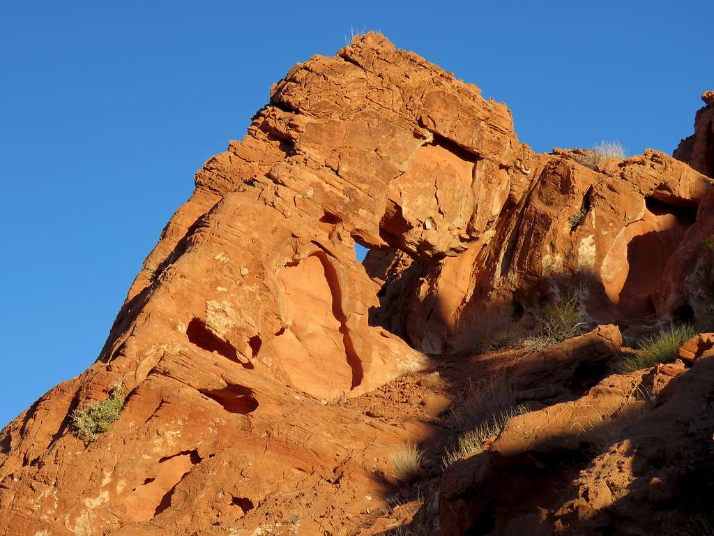
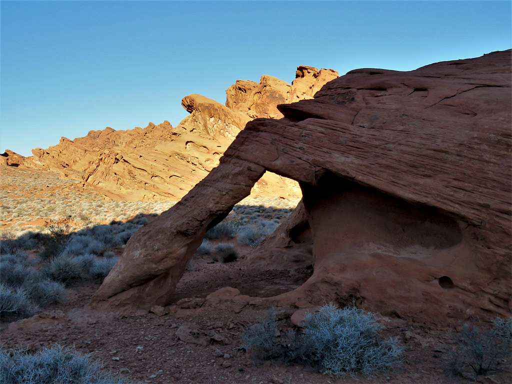
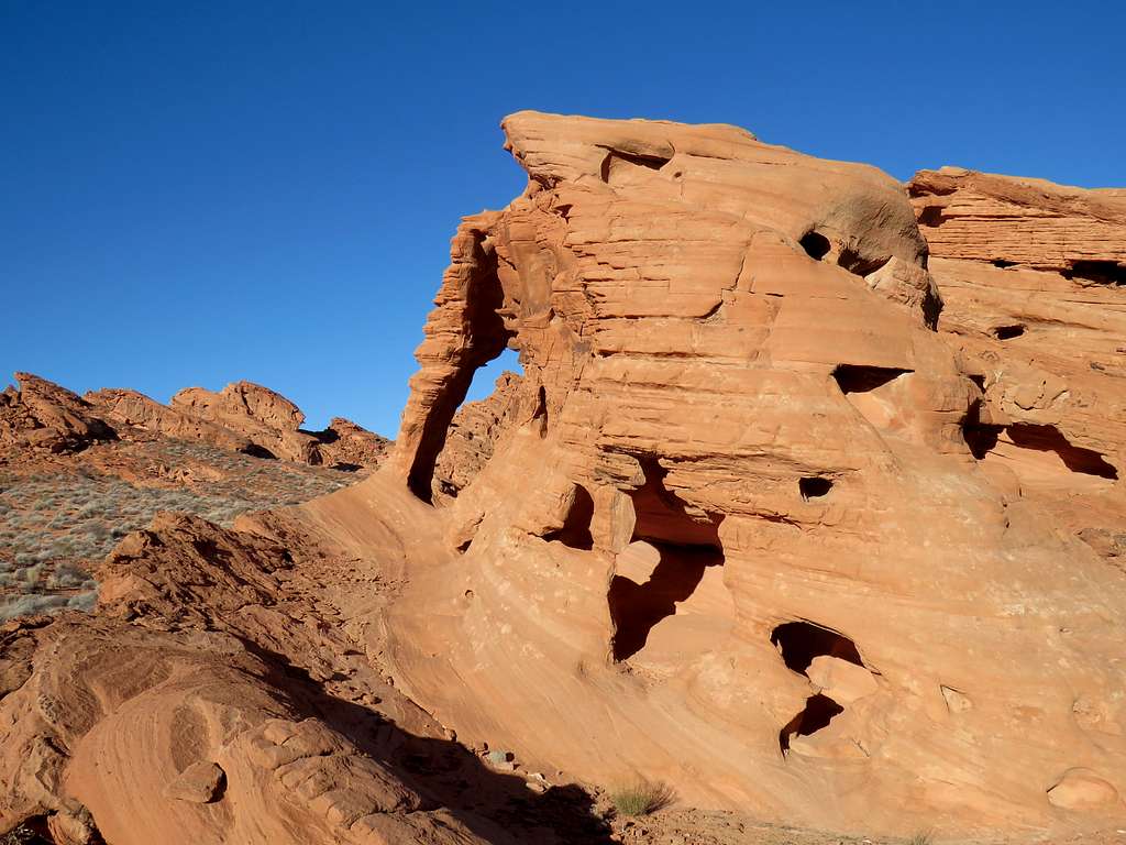
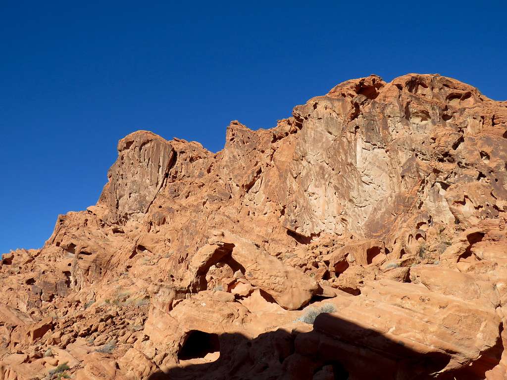
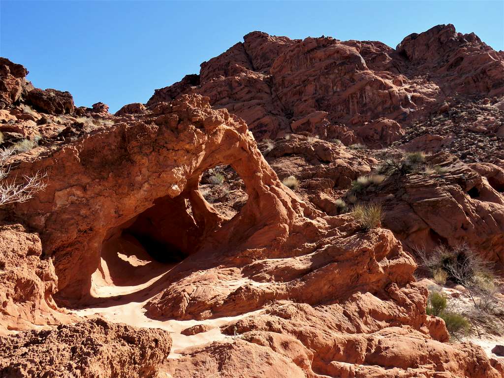
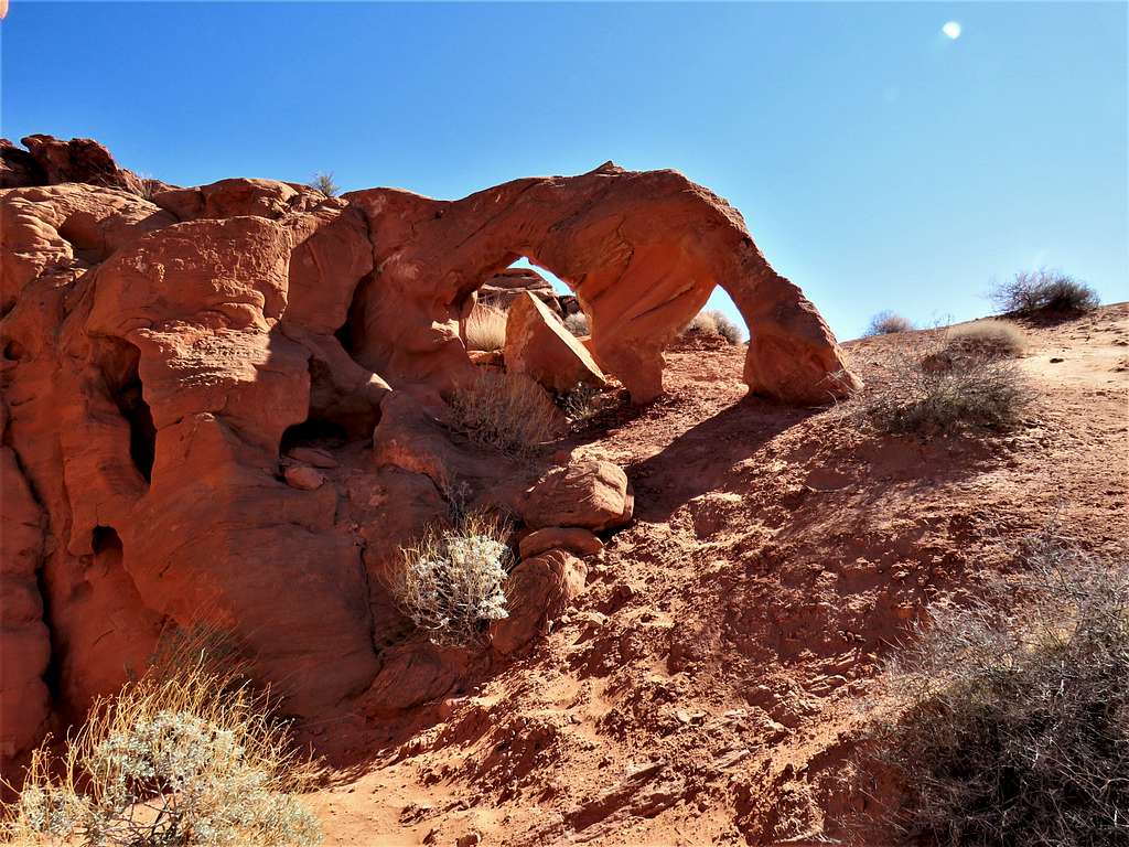
After 2.11 miles of hiking, at 8:00 a.m., I reached Arch F which was probably the biggest arch I saw. The website called it Turret Arch but I found a log box in the arch referring to it as Tallman Arch. Interestingly the last entry was from January 2021 (11 months before my visit).
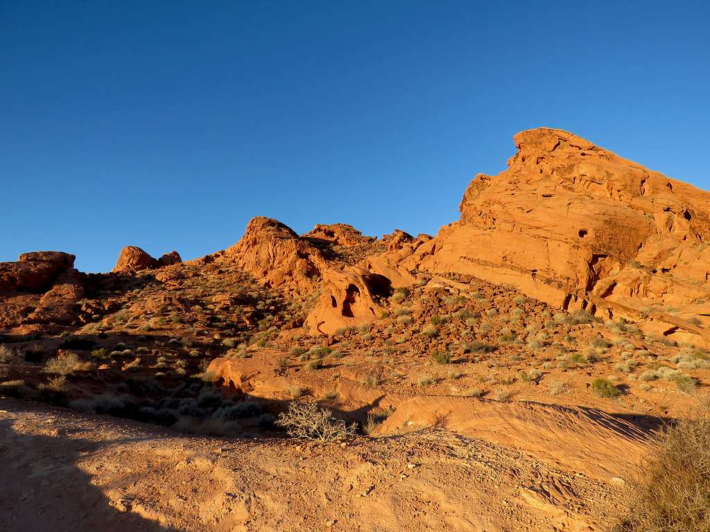
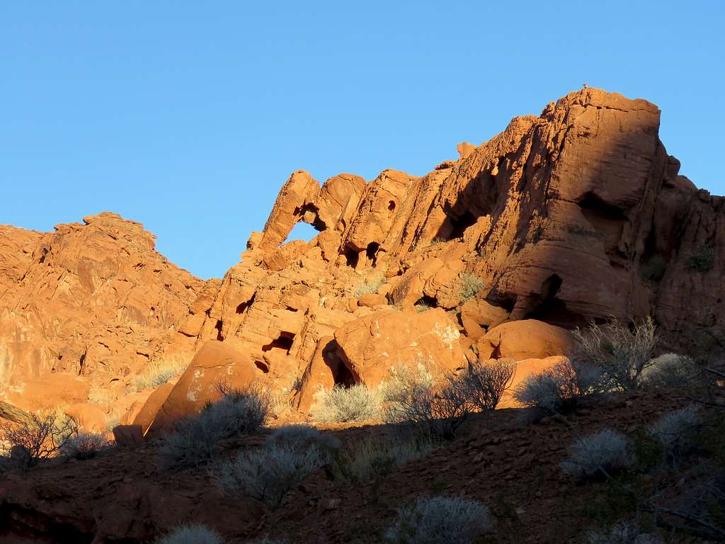
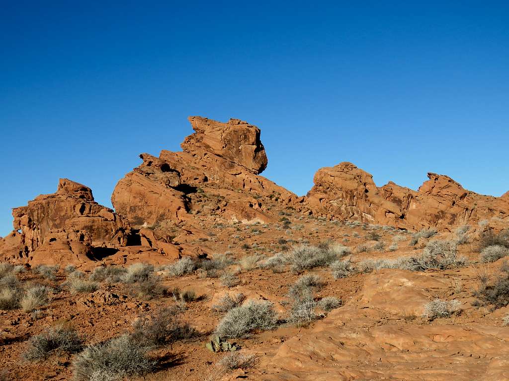
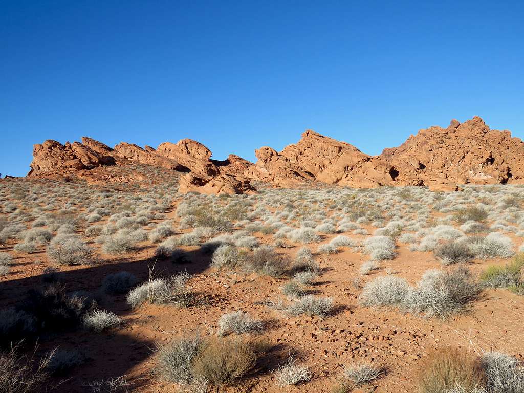
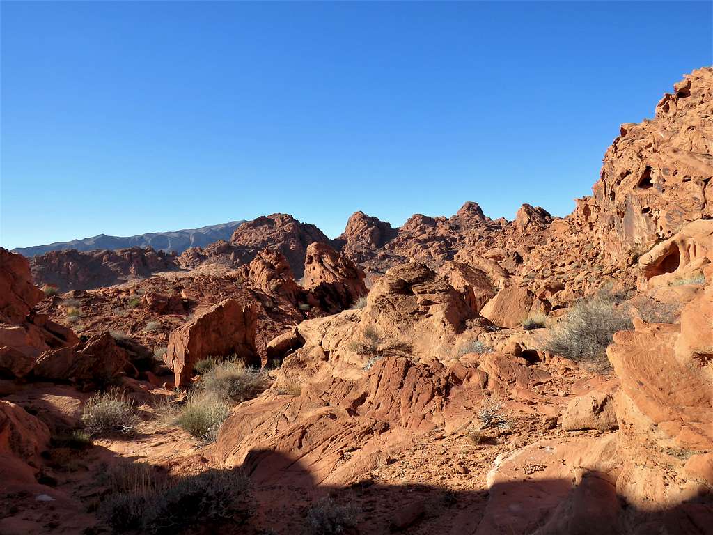
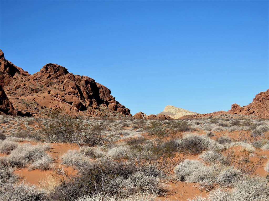
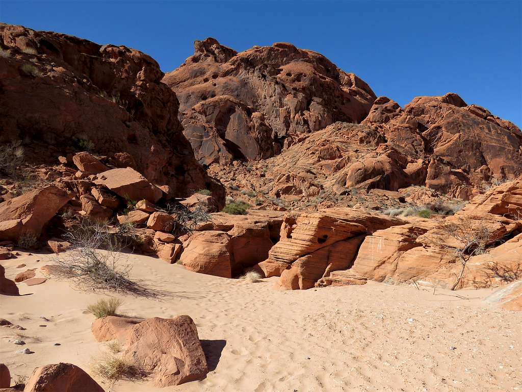
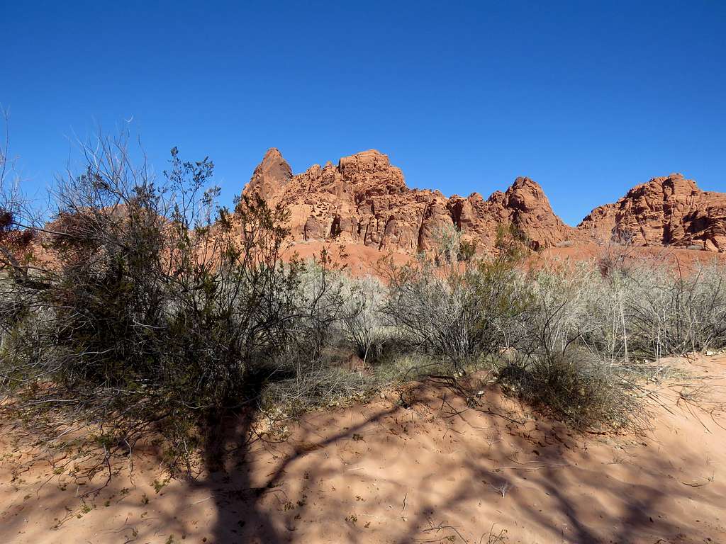
Turned back retracing my path for a while and then went toward Arch G. Beautiful desert scenery.
Arch G.
Kept looking for Arch H and Arch I but did not see anything. Got onto a small sandy plain among slickrock mountains following the path that my GPS indicated.
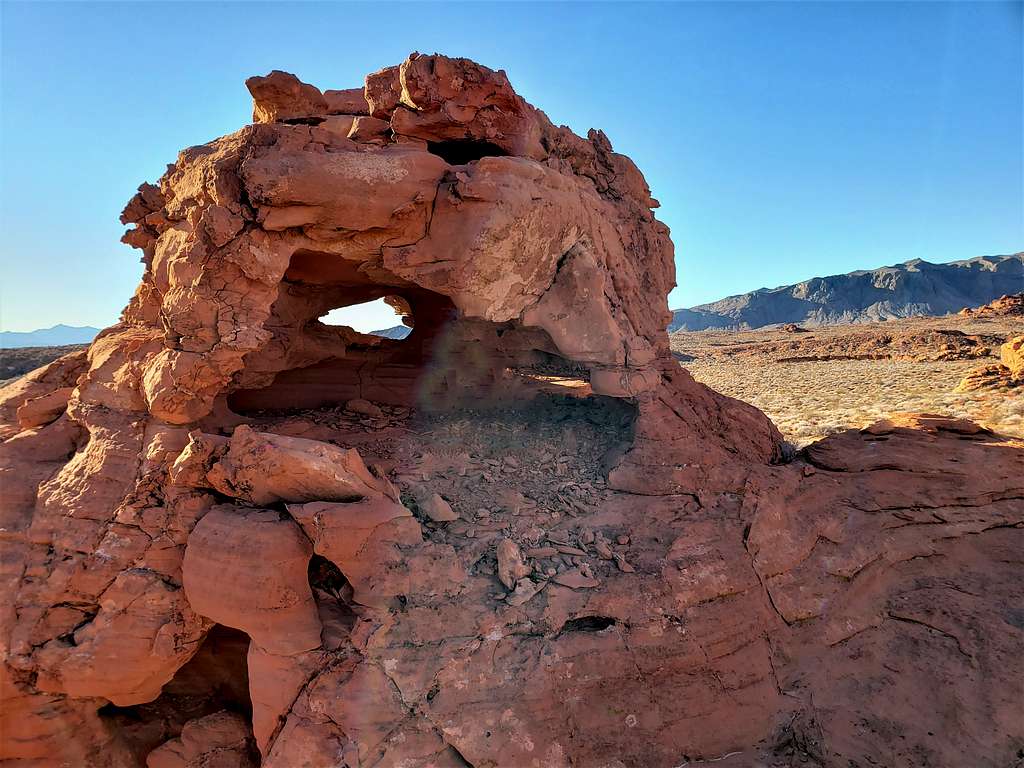
Another unexpected arch.
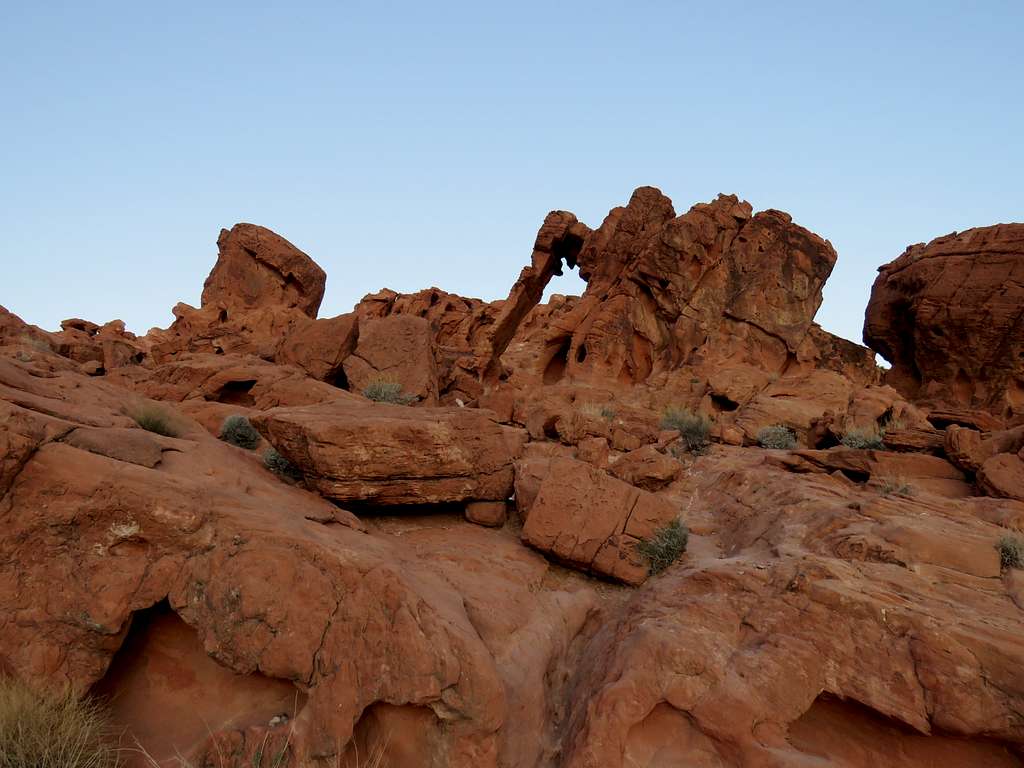
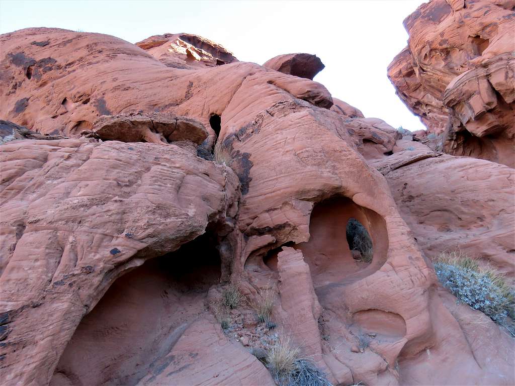
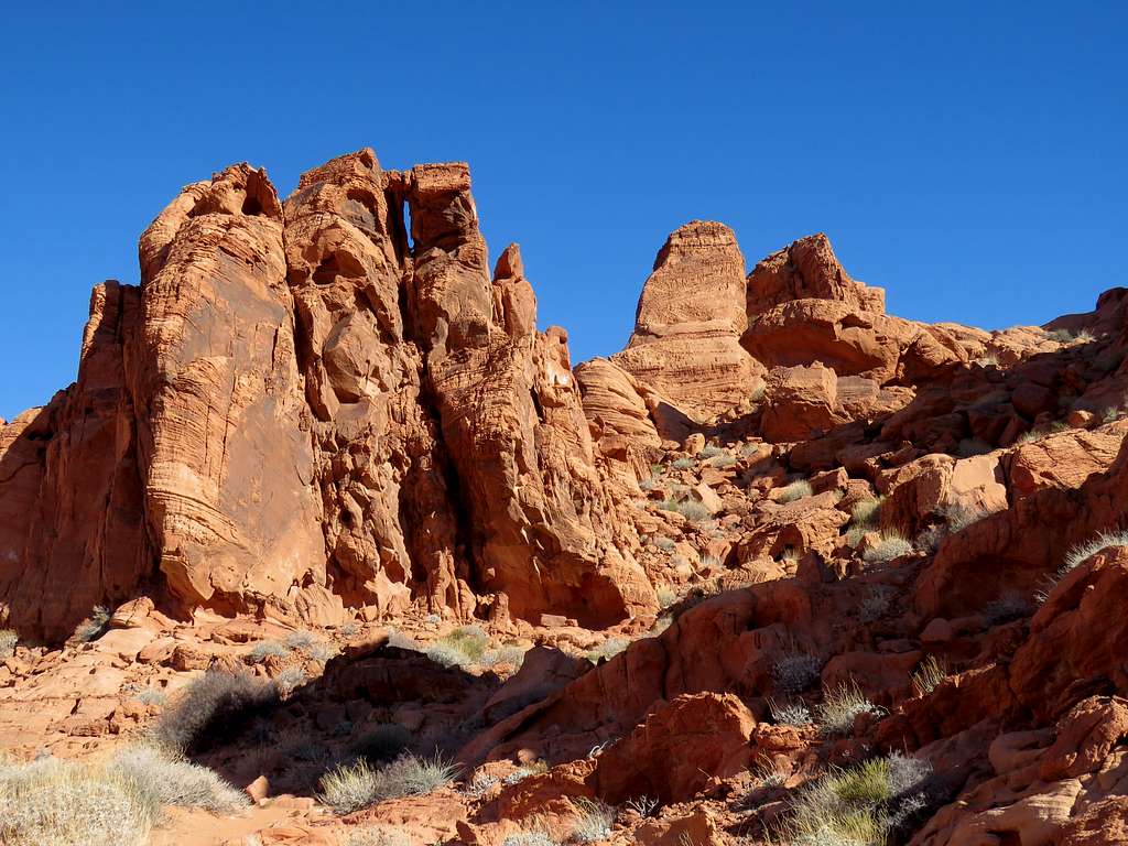
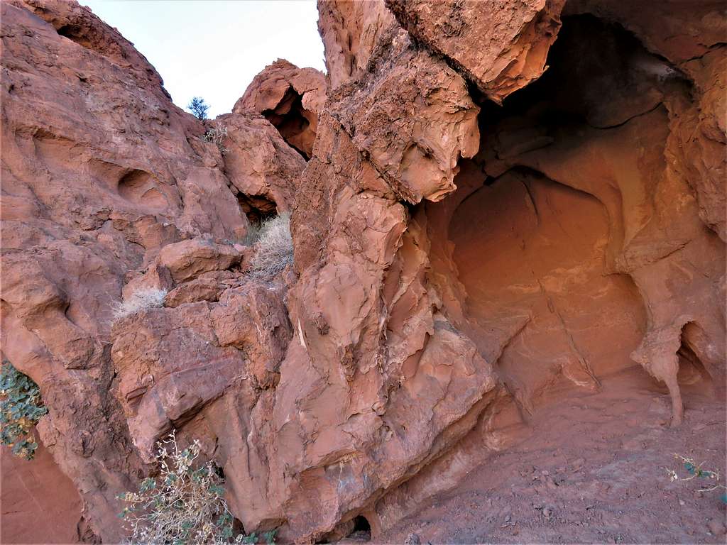
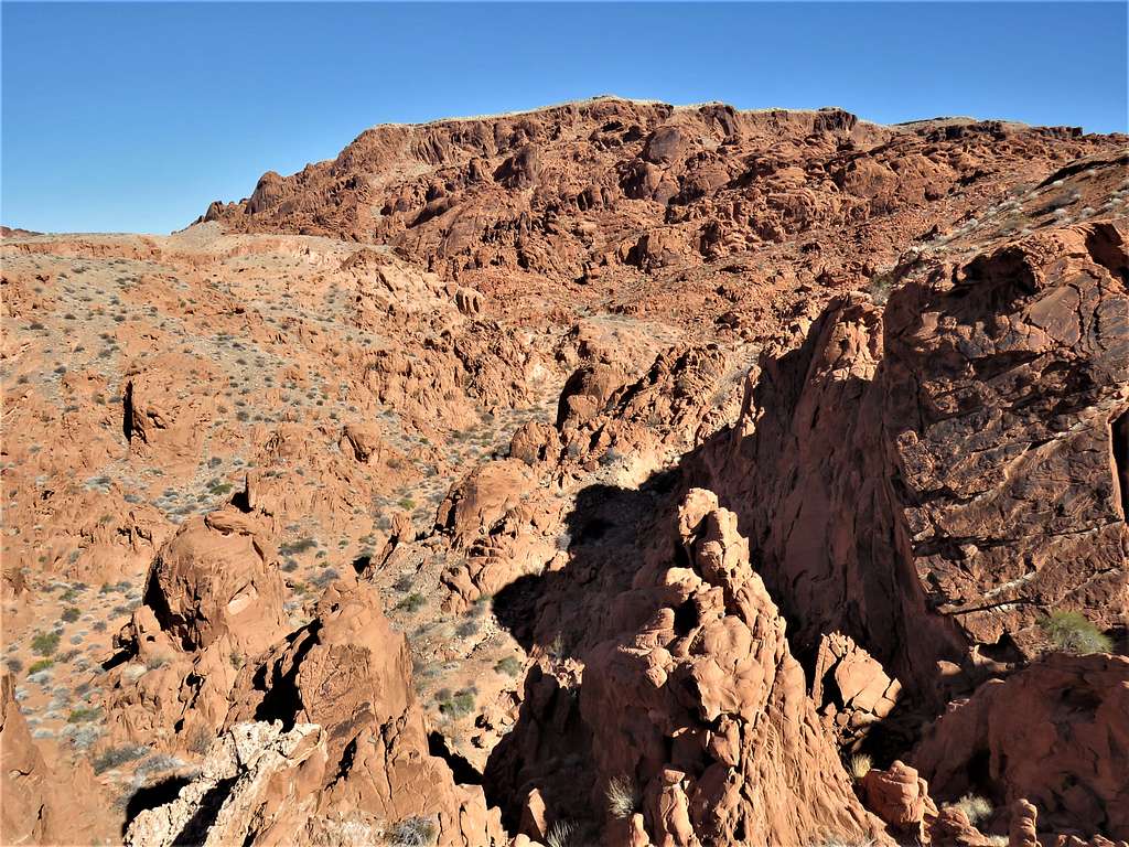
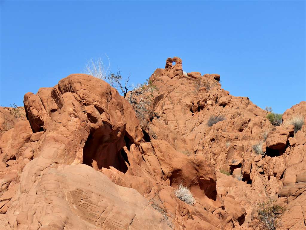
Went up a narrow rocky valley in search of Arch J where I found these formations.
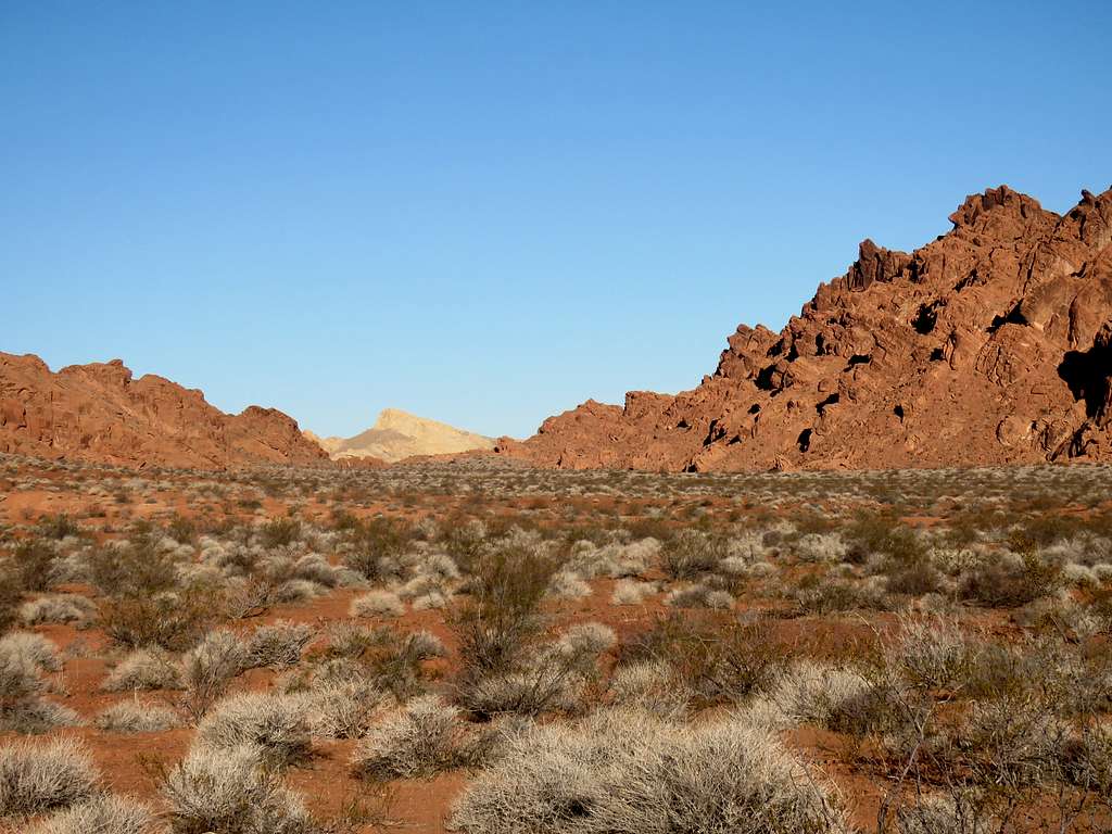
Got on a sloped sandy plain with desert bushes going uphill toward Arch K.
Looking down the sandy slope.
Arch L area. Found more than I was looking for.
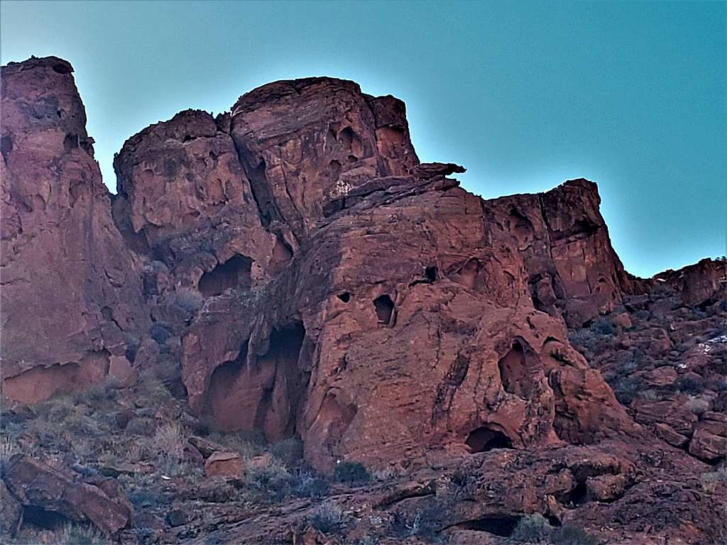
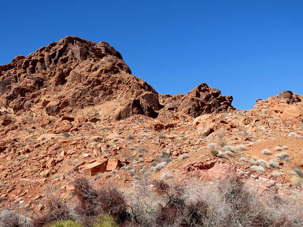
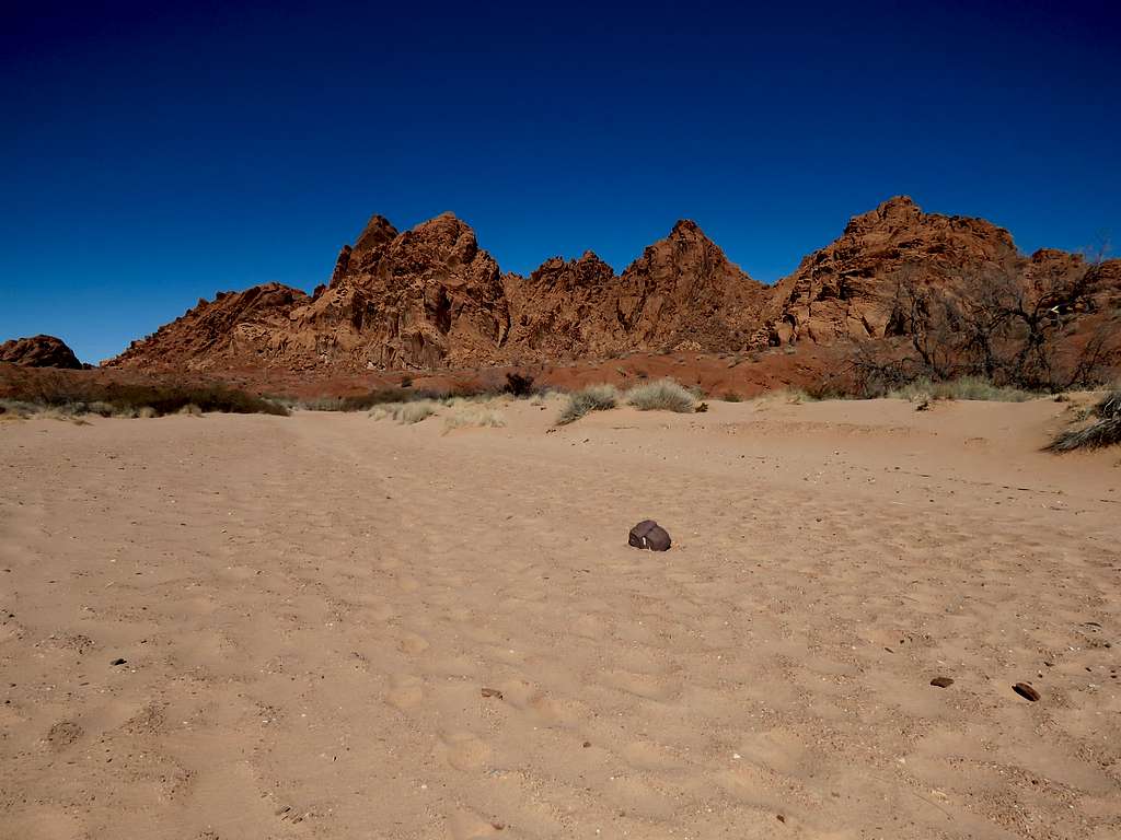
I had at that point hiked 3.77 miles and was on a saddle at the highest point of my hike at 1920 ft. It was 9:05 a.m. Impressive slickrock walls and other formations were all around me.
Went down to reach the sandy plain again.
Hiked the plain half a mile toward the next slickrock mountain where Arch M was supposed to be. Ended up climbing rocky slopes running into all kinds of formations until I reached a spot where further climbing would have been considered technical. I was still far from Arch M so decided not to go any more (Looking at the map later, it appeared that I had been in the wrong drainage).
Went down the slope, the area that I had climbed looked rather scary behind me.
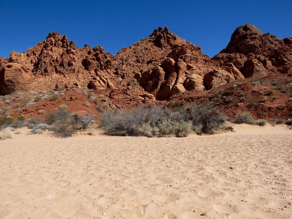
After a short rest, began to hike the sandy plain to the northwest.
I then reached a broad sandy saddle. The original plan was to go down into the North Fork of Valley of Fire Wash, go in search of Arch O and then climb to the top of Baseline Mesa. I came across a trail that went a different path than what I had entered into my GPS but seemed to go toward Baseline Mesa so I decided to follow the trail. An unexpected arch by the trail.
The trail did not seem to go where I wanted to go. Reaching the top of the mesa would have required a long hike to where Google earth had shown a possible path among the cliffs. I decided to not go any more. Sat there at 10:20 a.m. and 5.65 miles to eat and enjoy the views.
I then went down the slopes to reach the bottom of the North Fork of Fire Canyon Wash. Found Arch N nearby.
Other unexpected arches.
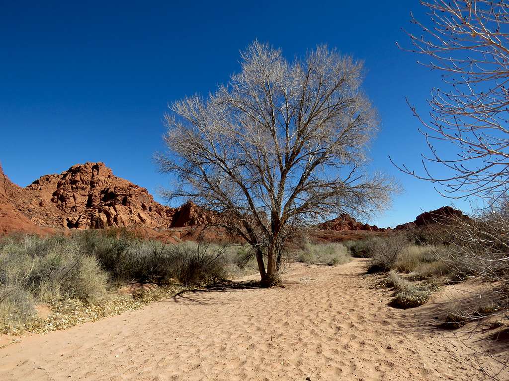
I then began to follow the bottom of the wash south/southeast toward my starting point. The sand was deep and energy consuming to walk on.
Yet another unexpected arch.
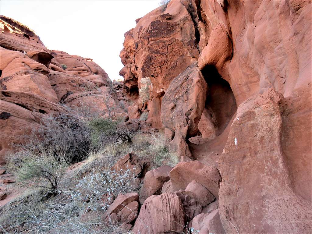
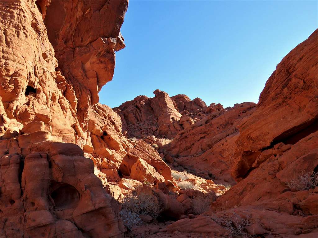
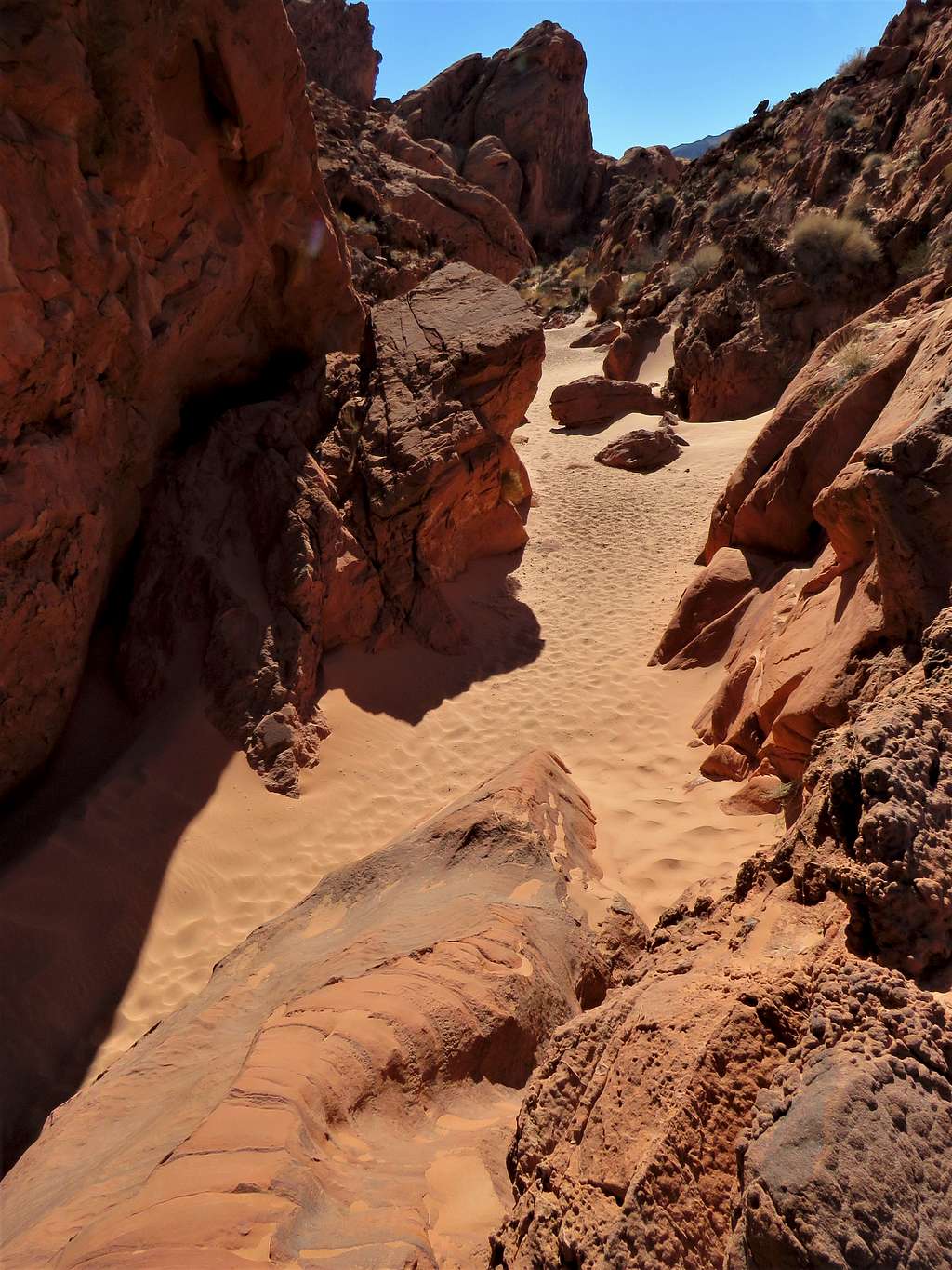
Narrows in the wash.
Small arch seen on the right side of the picture.
Beautiful wash.
Reached the park road at 11:36 a.m. and 7.36 miles. Went on a trail that went east toward my starting place. Crossed to the south side of the road to see Arch P (Arrowhead Arch).
Went back to the trail and began to run into people. It was the first time that I was seeing people on that day. Followed the trail under Elephant Rock (Arch A) and reached the parking lot (which had a lot of cars and people) at 12:02 p.m. and 8.33 miles. Temperature had climbed to 64 degrees F.