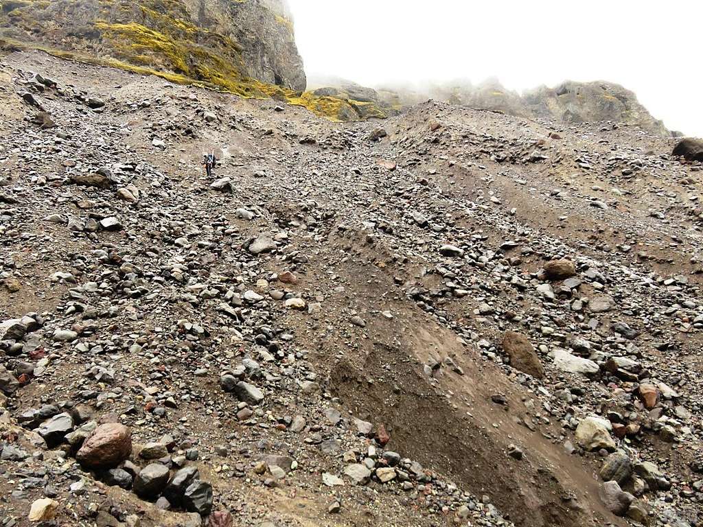
Jan descending the scarred slope
After following a fading trail on the east side of the Svínafellsjökull glacier for a while, we came to a big scar in the landscape, which, by the looks of it, may have been the result of a rock avalanche. Earlier on we saw no clear way to get down to the glacier, but this scar looked alright, so we went for it. We descended about 70 m to get on the glacier, or, more precisely, on the lateral moraine on top of the ice.
In hindsight, and looking at the satellite image, it looks like we could have kept going north on the slopes east of the glacier for a while longer, and more opportunities to get on the glacier would have come along - and possibly easier ones. But we didn't have a satellite image with us, and this looked good enough. And even now, having looked at the satellite image, I can't say for sure that this wasn't the easiest way down.
(Coordinates by approximation; the satellite view shows several gullies but I can't say for sure which one developed into this big scar)
17 May 2017.


