Toggle navigation
Mountains
Routes
Images
Trip Reports
Forum
What's New
People
Areas & Ranges
Articles
Trailheads
Canyons
Huts & Campgrounds
Albums
Logistical Centers
Fact Sheets
Lists
Custom Objects
Gear
Plans & Partners
WELCOME TO SUMMITPOST
SIGN IN
REGISTER
Keg Mountain (UT)
Additional Parents
Image
Keg Peak,
View High-Resolution Image
Keg Peak,
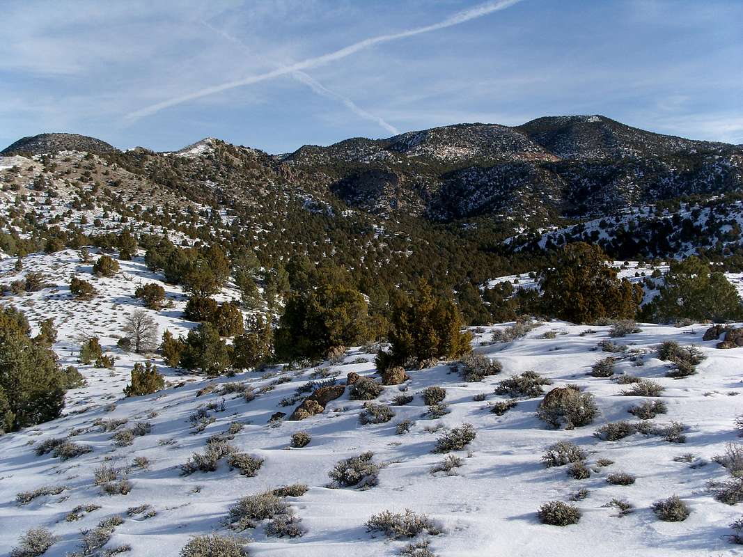
Deciding which way to head up. I went to the left, then up the ridge to the Peak. there was more snow that I thought. Some drifts were 2 to 3 ft deep.
« PREV
NEXT »
MikerHiker
on
May 6, 2009 9:51 pm
Comments & voting
Other parents
Lat/Lon:
39.79060°N / 112.83508°W
Image ID:
511991
1800 Hits
72.08
% Score
2
Votes
Log in to vote
Comments
No comments posted yet.
to post!
Don't have an account?
Keg Mountain (UT)
(Mountain/Rock)
« PREV
Viewing
#23 of 42
GALLERY
NEXT »
MikerHiker's Image Gallery
« PREV
Viewing
#65 of 75
GALLERY
NEXT »
×
You need to login in order to vote!
User Name
Password
Remember me
Forgot your password?
Log me out when I close my browser.
Keep me logged in all the time.
sign in as a user
Don't have an account?
Register now for FREE
Rating available
Suggested routes for you
People who climb the same things as you
Comments Available
Create Albums
Register Here


