
|
|
Route |
|---|---|
|
|
46.93039°N / 103.54951°W |
|
|
Hiking |
|
|
Spring, Summer, Fall |
|
|
Most of a day |
|
|
Hike |
|
|
Overview
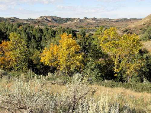
Maah Daah Hey is a 144 mile long non-motorized trail that goes from Burning Coal Campground 30 miles south of Medora, ND to the CCC Campground 16 miles south of Watford City, ND. An 8.5 mile section of the trail goes through the southern unit of Theodore Roosevelt National Park. This section of the trail starts under the I-94 bridge over Little Missouri River and follows the river north for roughly 3 miles where it veers west and climbs 450 vertical feet to reach the top of a 2700 ft high plateau. Once on top of the plateau, the view will be for the most part that of a flat grassy plain stretching into the horizon. At times, however, from the edge of the plateau, you will get spectacular views of badlands and Little Missouri River 450 ft below. At the northern border of the park, Maah Daah Hey Trail reaches the junction with North Petrified Forest Trail before exiting the park.Getting There
I saw no designated parking area or any signs for Maah Daah Hey trail from the road. See map. The trail started at the junction of I-94 east bound ramp at Exit 24 and Pacific Avenue north of Andrews Creek in Medora, ND. I found a parking area just south of the trailhead where a paved bike trail reached Pacific Ave. Space for parking also seemed to be available on the west bound I-94 ramp. Once I hiked a short distance down the trail toward Andrews Creek, I saw a sign identifying the trail as Maah Daah Hey.I first parked on the west bound ramp but a fence prevented me from accessing the trail.
Route Description
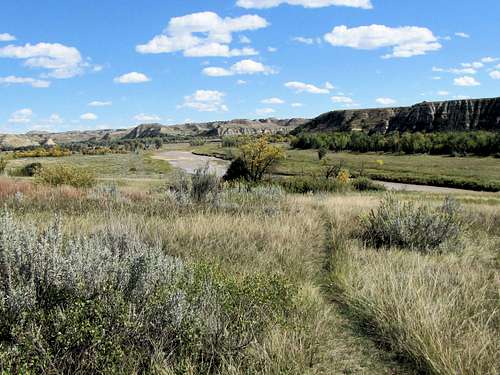
All distances are per my GPS.At the trailhead mentioned above, go a short distance until you see the sign identifying Maah Daah Hey Trail. Right goes south toward Sully Creek Trailhead. Turn left, go under the 1-94 bridge and enter the South Unit of Theodore Roosevelt National Park. The trail heads north on a grassy plain along Little Missouri River. From most places the river will not be visible.
Highway noise will continue for some time. Looking back at I-94 bridge.
 I-94 bridge
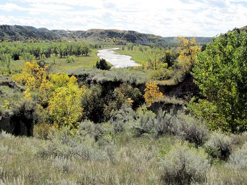
Views of Little Missouri River.
 |
 |
 |
 |
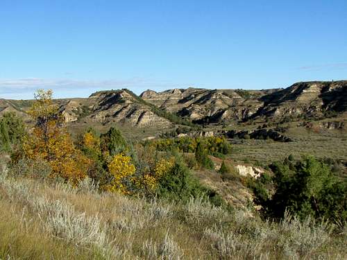
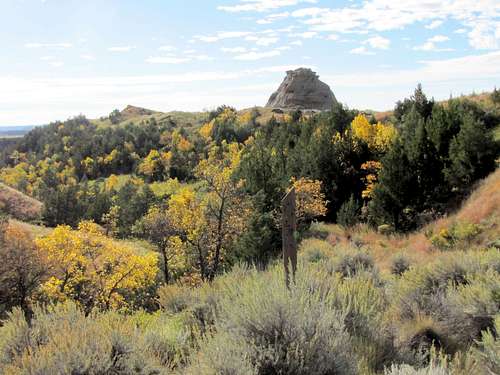
To the west, hills rise sharply above the plain of the river.
 |
 |

After a few miles, the trail veers west going up a hill away from the river. Looking southeast back at the river.
 |
 |
Looking west.
 |
 |
After crossing Knutson Creek, you will reach the junction with Lone Tree Trail. When I did my hike, the area was very muddy.
 Knutson Creek
Continuing north on Maah Daah Hey Trail.
Prairie Dog Town on both sides of the trail.
 Prairie Dog Town
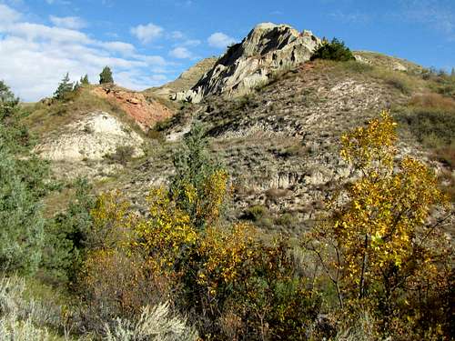
The trail then gets into a valley among the hills and begins to climb.
 |
 |
 |
 |
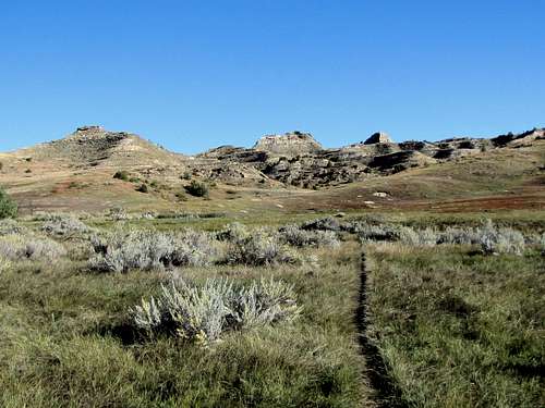
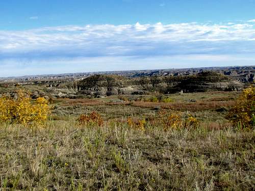
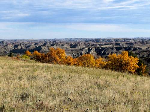
You will then reach the top of a flat grassy plateau and the junction with South Petrified Forest Trail.
 Flat grassy plateau
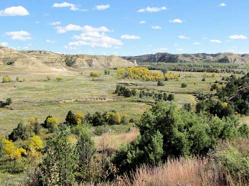
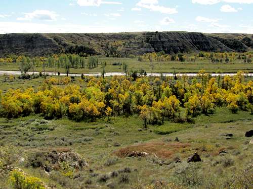
For the next 3.3 miles you will be walking on the grassy plateau. At times, Badlands and Missouri River can be seen. At the junction with North Petrified Forest Trail, you will reach the northern boundary of the park.
 |
 |
 |
 |
 |
 |
Red Tape
You must pay to enter Theodore Roosevelt National Park.The section of Maah Daah Hey Trail inside the park is closed to bicycles. Day hiking needs no permits.