Toggle navigation
Mountains
Routes
Images
Trip Reports
Forum
What's New
People
Areas & Ranges
Articles
Trailheads
Canyons
Huts & Campgrounds
Albums
Logistical Centers
Fact Sheets
Lists
Custom Objects
Gear
Plans & Partners
WELCOME TO SUMMITPOST
SIGN IN
REGISTER
Across the Great Divide (Glacier National Park 2011)
Additional Parents
Image
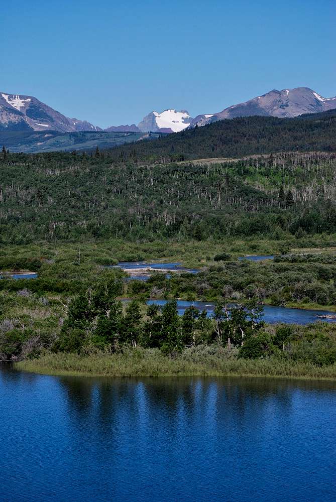
Merritt across Lower St. Mary Lake
View High-Resolution Image
Merritt across Lower St. Mary Lake
Mount Merritt's east face, draped by Old Sun Glacier, is visible from US-89 between the small towns of St. Mary and Babb. July 24, 2011
« PREV
NEXT »
distressbark
on
Dec 14, 2016 3:52 pm
Comments & voting
Other parents
Lat/Lon:
48.80126°N / 113.4115°W
Image ID:
990007
1122 Hits
75.81
% Score
6
Votes
Log in to vote
Comments
No comments posted yet.
to post!
Don't have an account?
Across the Great Divide (Glacier National Park 2011)
(Album)
« PREV
Viewing
#20 of 93
GALLERY
NEXT »
distressbark's Image Gallery
« PREV
Viewing
#210 of 598
GALLERY
NEXT »
Glacier National Park, MT
(Area/Range)
Loading....
Mount Merritt
(Mountain/Rock)
Loading....
×
You need to login in order to vote!
User Name
Password
Remember me
Forgot your password?
Log me out when I close my browser.
Keep me logged in all the time.
sign in as a user
Don't have an account?
Register now for FREE
Rating available
Suggested routes for you
People who climb the same things as you
Comments Available
Create Albums
Register Here


