|
|
Route |
|---|---|
|
|
45.76981°N / 10.96820°E |
|
|
Spring, Summer, Fall |
|
|
Half a day |
|
|
E |
|
|
Overview
Monte Vignola - Corno della Paura loop
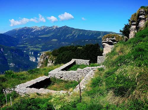
The Monte Altissimo - Monte Baldo chain projects towards the Val d'Adige (towards the East) an area of high and undulating mountain pastures moved by some elevations dropping down with steep rocky walls on the Val d'Adige. Two of these ones are Monte Vignola 1606 m and Corno della Paura 1518 m. On the other side (above La Polsa) the mountain slopes down with sweet and bucolic meadows. From here there is a simple but surprising loop trail taking place mainly along ex-military dirt roads on the ridge running between the stronghold of Monte Vignola and the stronghold of Corno della Paura, alternating marvelous prairies with rocky inlets in parts overlooking the Adige valley.
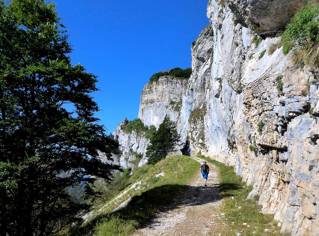
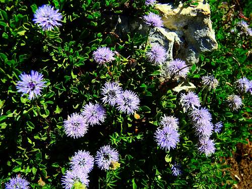
This itinerary is highly advisable in reason of the extensive views, the testimonies of the WWI war and a rich and interesting flora, especially in spring and autumn. The route follows the old military roads of the Great War and leads to contact with a series of interesting war remains such as tunnels, rock shelters, retaining walls, observation points.
Getting There
La Polsa di Brentonico - From A22 Autobrennero exit Rovereto Sud and follow the signpost to Mori, then to Altopiano di Brentonico. Take the road SP3, pass the town of Brentonico and at the fork keep left to Polsa di Brentonico. Here take the road to Camping La Polsa, where near the parking lot the road ends.
Route Description
Monte Vignola - Corno della Paura loop trail from La Polsa
Summit quote: 1606 m (Monte Vignola) - 1518 m (Corno della Paura)
Difficulty: E
Difference in level: about 500 m from La Polsa
Time required: 3 hours
Starting point: La Polsa di Brentonico 1297 m
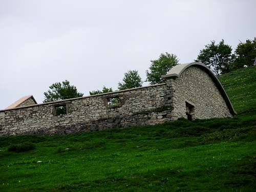
The start is from the parking lot near the camping La Polsa 1297 m. From here take the forest road to the left towards Malga Vignola (SAT path n. F18, which partly coincides with the Sentiero della Pace). The forest road rises slightly and gradually gains altitude until it reaches the beautiful Vignola alm at an altitude of 1440 m. Continue along the forest road to reach the "Ruins" 1500 m, well-preserved remains of WWI former Austro-Hungarian barracks and a characteristic impluvium for the collection of rainwater.
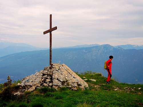
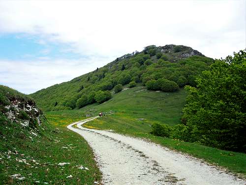
We reach immediately after a memorial stone on the left, where we leave the forest road to climb to the left along a path that leads us to the to the summit cross of Monte Vignola 1606 m.
On the top there are some circular concrete bases of the anti-aircraft artillery made by the Italians during the WWI. The view from the summit is extraordinarily wide, ranging from Monte Baldo to Monte Altissimo di Nago, to the Brenta group, to the Bondone-Stivo group and to the Pasubio. The view over the Adige Valley below is particularly impressive! We retrace our steps to the monument and from here take the forest road in the left direction.
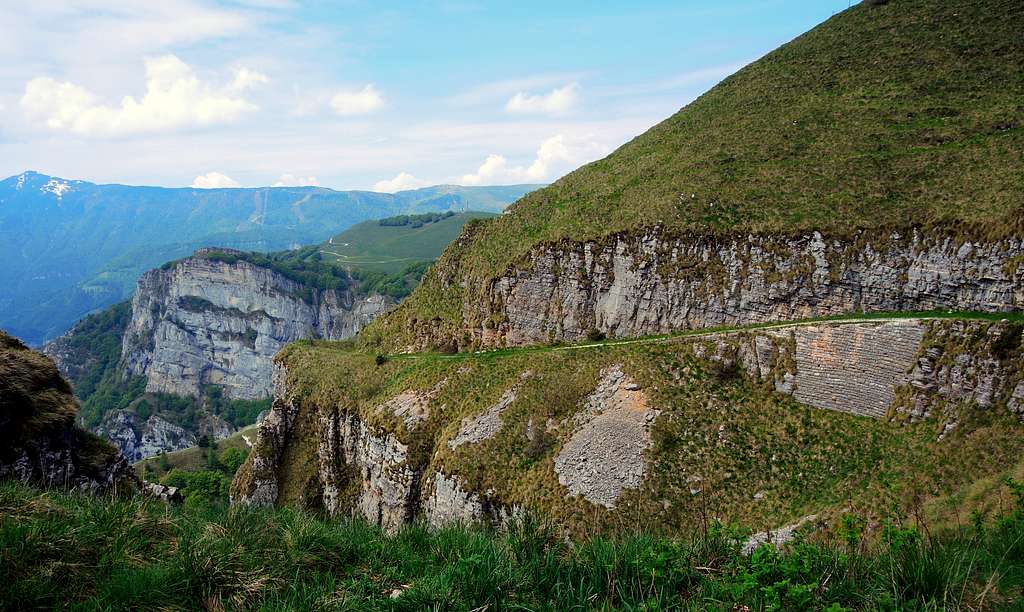
The forest road goes up for a short stretch and then begins to lose altitude, keeping on the edge of the steep south slope. In about fifteen minutes a fork is reached: both alternatives are passable, but it is more convenient to follow the Sentiero della Pace which is the road that continues further down. Shortly after the point where the two paths meet, a slight digression on the left takes us to the cross at an altitude of 1,412. The forest road after a wooden bridge reachs the wide saddle of Bocca d'Ardole at an altitude of 1387 m. This stretch is very panoramic as it offers a superlative view of the underlying Adige Valley.
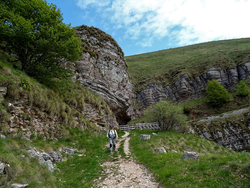
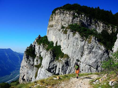
From the saddle it begins a beautiful itinerary that follows an old military road across some war tunnels in constant view of the impressive rocky wall of the Corno della Paura and in breathtaking exposure on the Valle dell'Adige over 1000 meters below. After some war tunnels the road leads to a wooden gate (please close it after crossing) immediately past which you find yourself at a pole with different SAT signposts nearby a road.
From the signs take a narrow track that climbs to the left of the signposts the grassy slopes of the Corno della Paura reaching briefly the summit in spectacular sight on the Adige Valley, the Baldo-Altissimo Group, the Brenta Dolomites, the Chain Stivo-Bondone. On the top there are some conspicuous remains of the Great War, fences and benches. From the summit let's take a stone staircase leading briefly to visiting some military posts.
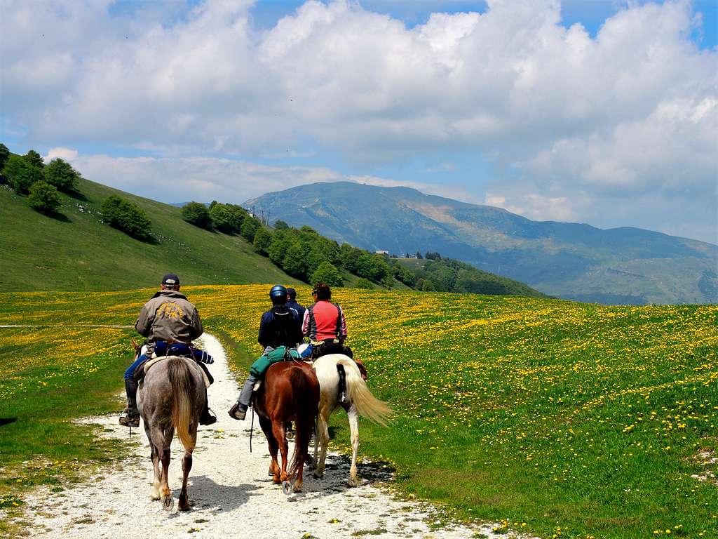
From the summit reverse the same path getting the gravel road and take it in the right direction. The road will lead you briefly to reach Malga Pravecchio di sopra 1428 m. At the hairpin bend at the alm leave the gravel road and on tracks go down to take the track of the ski slope below. At a crossroads with the path coming from Bocca d'Ardole, turn left, pass first to Malga Susine and shortly return to the starting point .

Essential Gear
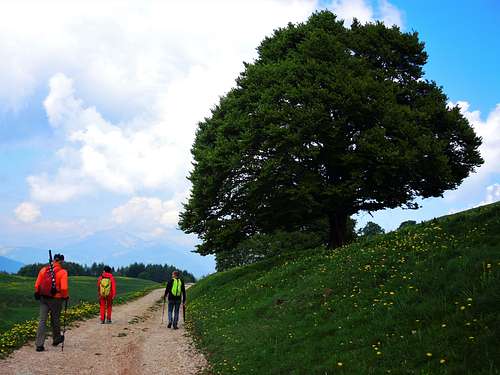
Normal hiking gear
Red Tape
No fees no permits required
When to climb
The best period goes from April to November.
Accomodation
Various possibilities in La Polsa and Brentonico. Camping in La Polsa.
Meteo
Guidebooks and maps
Monte Baldo - Kompass sheet 129
External Links
Trentino Grande Guerra
Parco Monte Baldo
