
-
 30159 Hits
-
 74.75% Score
-
 6 Votes
|
|
Mountain/Rock |
|---|---|
|
|
33.85023°N / 117.6537°W |
|
|
Orange, Riverside |
|
|
Hiking |
|
|
Spring, Fall, Winter |
|
|
3045 ft / 928 m |
|
|
Overview
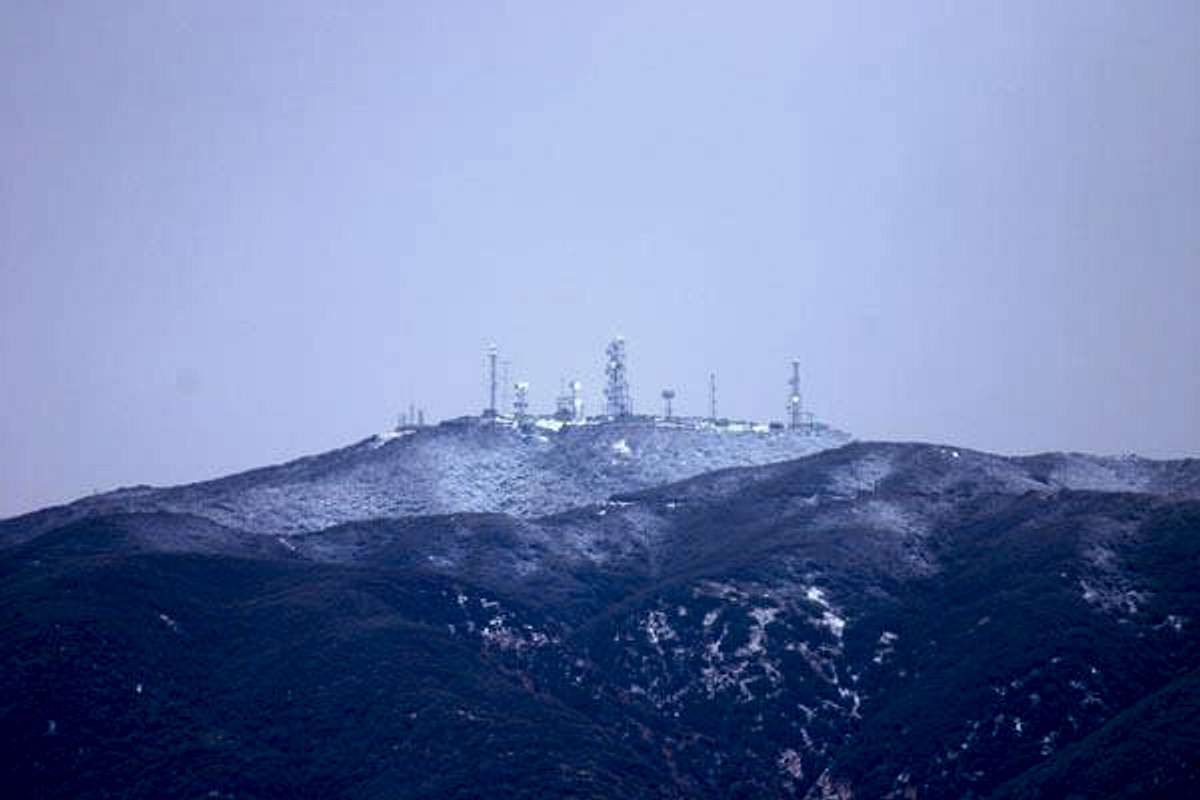
Sierra Peak is the northermost rampart of the Santa Ana Mountains that encompass Orange and Riverside Counties. This is the mountain that millions upon millions of 91 freeway commuters drive next on their way from metropolitan Los Angeles on their way to the Inland Empire and beyond. Although being one of the lesser peaks in the Santa Ana Mountain range, its base elevation is at a mere 350 feet so it rises almost 2700 feet above the Santa Ana River canyon. There are two routes to the top of Sierra Peak, via Skyline Drive in Corona and the Northwest Ridge which is accessed by the Coal Canyon exit. The views from the summit are amazing as it is the last peak in the range with no major obstruction from the north. Upon reaching the summit, the main divide of the Santa Anas is visible with Pleasants peak dominating the southern view at 4007 feet. To the north the San Gabriel Valley is seen alongside the San Gabriel Mountains. To the west one can see directly over the Anaheim Hills and all the way to the ocean, with Downtown Los Angeles being visible over 50 miles away. 
 |
 |
 |
 |
Getting There
There are two routes to the summit. The popular route is via Skyline Drive. From the 91 freeway exit Lincoln Avenue in Corona and head south. After 3 miles, turn west onto Chase Avenue and then left on Skyline Drive. The trailhead begins here. The Northwest route is reached by exiting Coal Canyon off the 91 freeway in Orange County. From here proceed left and follow the dirt road up the Coal Mine. From here park in the small parking lot and continue through the workers area until a prominent ridge line is seen. This is the where the unmarked trail begins.
 |
 |
 |
Red Tape
No permits are required.
When To Climb
Preferably, the best time to climb Sierra Peak is from December to April. Anytime past this period can lead to a very unpleasant hike as the temperatures can reach into the 80's and 90's. The best to climb this mountain is after a snowstorm hits the San Gabriels.
 |
Camping
Camping is allowed once in the Boundary of the Cleveland National Forest, however, no camp fires are allowed as this is area is very prone to brush fires.
Mountain Conditions
Check the local weather for the Anaheim Hills area.
T. White - Mar 26, 2023 10:34 pm - Hasn't voted
Vehicle break-ins at trailheadBeware that there have been numerous break-ins in the new parking areas adjacent to the Skyline Drive trailhead. Use at your own risk.