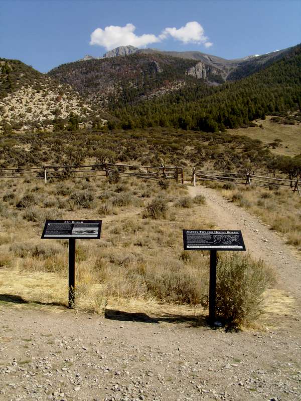
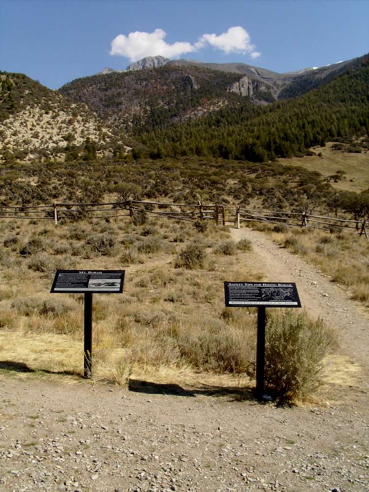
The trailhead at the start of the southwest
(Chicken-Out) ridge. The summit of Mt Borah is barely visible at the top of the picture to the right of what looks like a summit. The route follows the skyline to the right following the ridgetop where the snow is barely visible and then swings back north forming a large arc, or U shape when completed. You can see this trailhead and the parking area from the summit.
Birch Springs Road - Access to Mt Borah - Idaho


