Toggle navigation
Mountains
Routes
Images
Trip Reports
Forum
What's New
People
Areas & Ranges
Articles
Trailheads
Canyons
Huts & Campgrounds
Albums
Logistical Centers
Fact Sheets
Lists
Custom Objects
Gear
Plans & Partners
WELCOME TO SUMMITPOST
SIGN IN
REGISTER
Mount Garfield
Additional Parents
Image
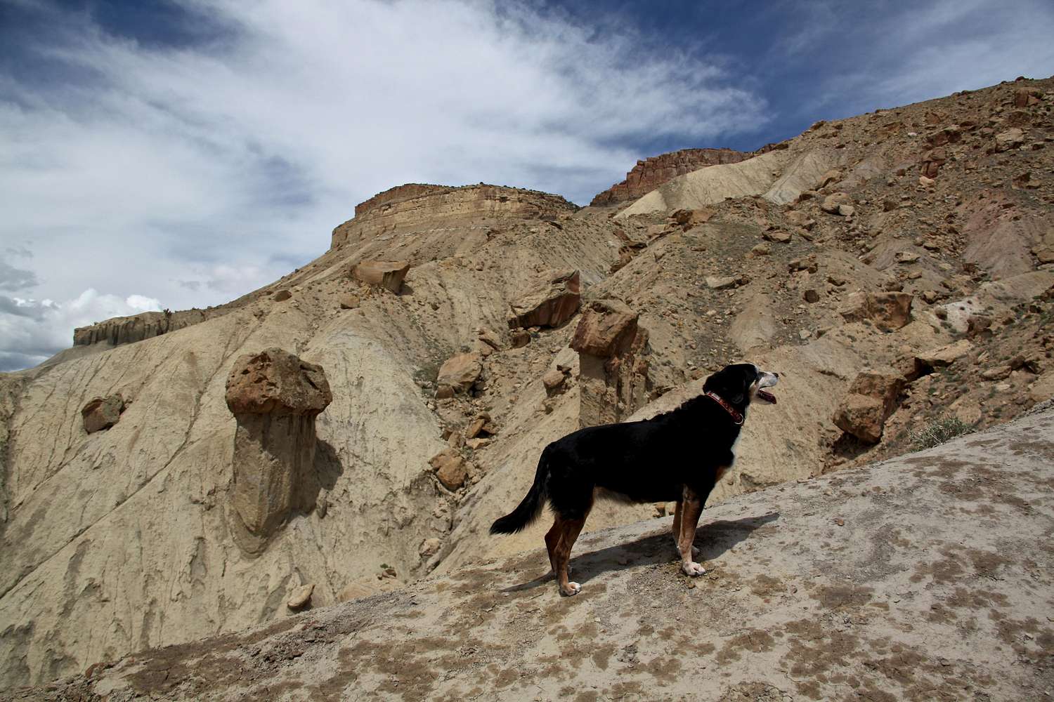
Mt. Garfield Trail
View High-Resolution Image
Mt. Garfield Trail
The route is steep 2 mile, 2000 foot ascent form the valley floor and winding through layers of Mancos shale and Mesa Verde limestone. The hike will challenge your lungs.
« PREV
NEXT »
Liba Kopeckova
on
May 30, 2013 8:12 am
Comments & voting
Other parents
Image ID:
851164
1582 Hits
77.48
% Score
8
Votes
Log in to vote
Comments
No comments posted yet.
to post!
Don't have an account?
Mount Garfield
(Mountain/Rock)
« PREV
Viewing
#32 of 88
GALLERY
NEXT »
Liba Kopeckova's Image Gallery
« PREV
Viewing
#3520 of 9747
GALLERY
NEXT »
Mount Garfield Trail
(Route)
Loading....
×
You need to login in order to vote!
User Name
Password
Remember me
Forgot your password?
Log me out when I close my browser.
Keep me logged in all the time.
sign in as a user
Don't have an account?
Register now for FREE
Rating available
Suggested routes for you
People who climb the same things as you
Comments Available
Create Albums
Register Here


