
Comments
No comments posted yet.
|
|
Trip Report |
|---|---|
|
|
32.44152°N / 110.79073°W |
|
|
Download GPX » View Route on Map |
|
|
Nov 2, 2022 |
|
|
Hiking, Mountaineering |
|
|
Fall |
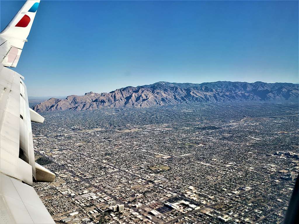
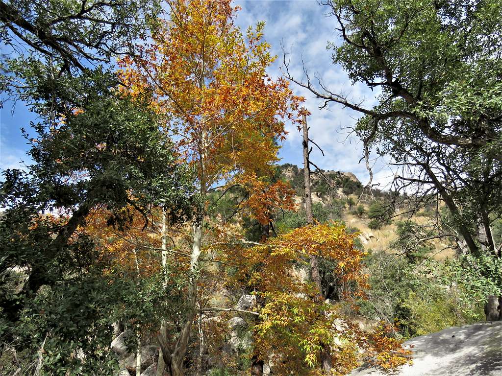
Rising more than 6500 feet above the streets of Tucson, Arizona, the 9157 ft Mt. Lemmon is the highest point in the Santa Catalina Mountains that sit to the north of the city. High elevation gives rise to a forested alpine environment that contrasts with the Sonoran Desert that covers much of southern Arizona.
A paved road starts in Tucson and goes up to near the summit of Mt. Lemmon at 9100 ft where a gate closes access to an observatory that sits on the summit of the mountain. I did a one-way hike from the top down into Wilderness of Rocks and then Romero Canyon to reach Catalina State Park at 2717 ft elevation. Caltopo mapping website had measured the hike at 13.2 miles. Other websites had said 12.5 miles. My GPS measured 14.88 miles (and when I downloaded the GPS data back into the Caltopo site it said 14.03 miles, and Google Maps said 14.0 miles). My GPS measured 1586 ft of ascent making my total descent 7969 ft (Caltopo said 7381 ft and Google Maps 7451 ft).
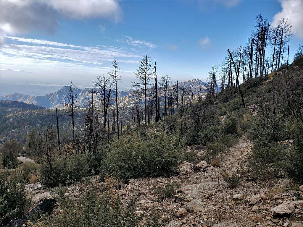
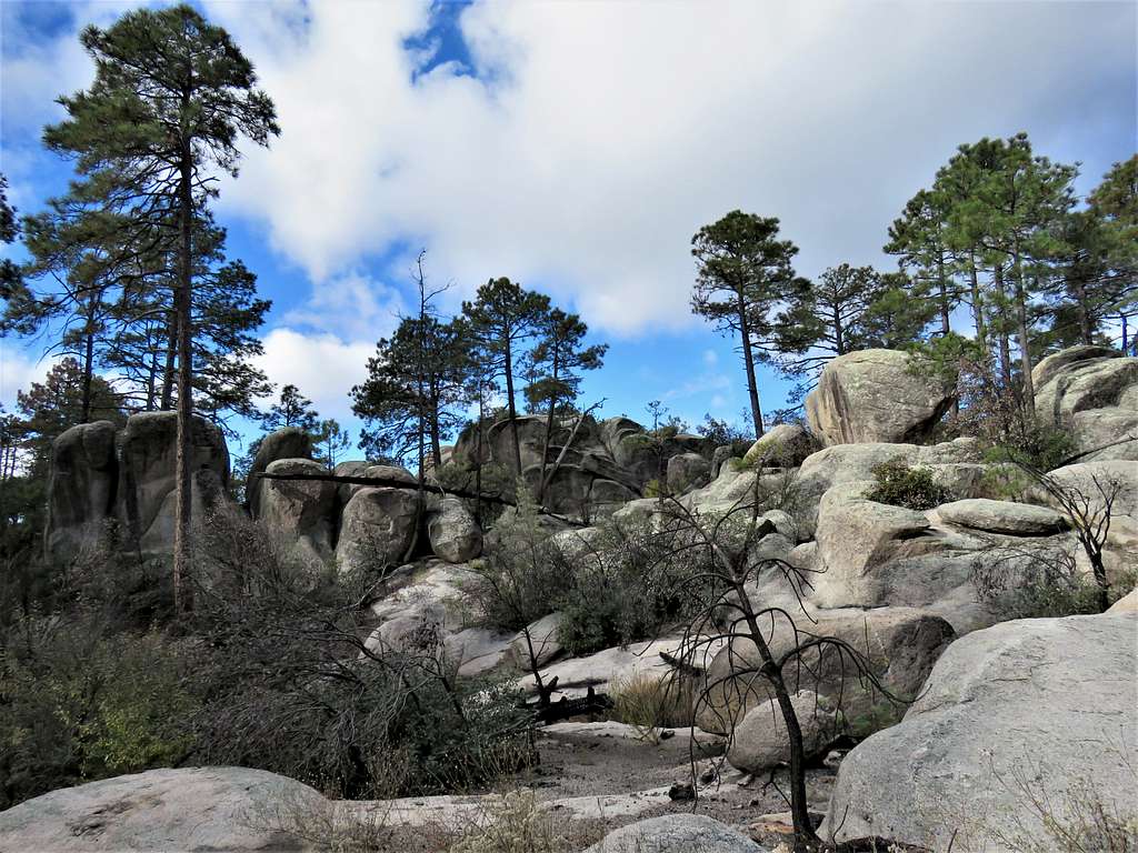
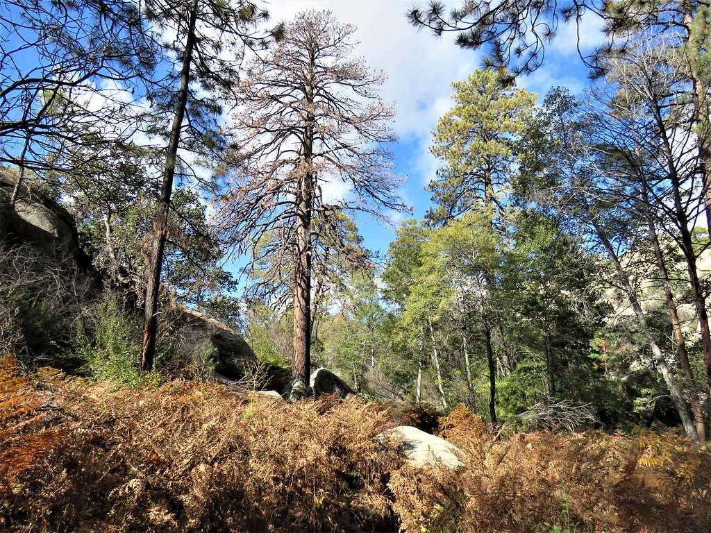
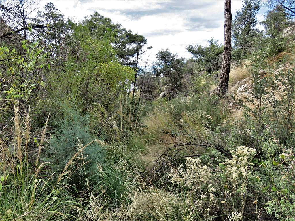
A fire had devastated the area some years ago. The trail was overgrown but almost all of it was easy to follow. I had downloaded the correct path into my GPS from the Caltopo website. I could see how without GPS I might have potentially lost the path walking over slickrock areas in Wilderness of Rocks. A 1.4-mile section at the bottom of Romero Canyon was overgrown enough to require bushwhacking in a few spots. It took me 1.5 more hours to go down this mountain than it did to go down into the bottom of Grand Canyon via Bright Angel Trail and come back up.
Top Elevation: 9100 ft
Bottom Elevation: 2717 ft
One way Hiking Distance per my GPS: 14.88 miles
Total Ascent: 1586 ft per my GPS
Total Descent: 7969 ft per my GPS
Hiking Time: 7:10 AM to 5:28 PM, with 35 minutes of rest and the time to take 161 pictures (1 hour 15 minutes?)
Sunrise and Sunset: 6:41 AM and 5:32 PM
November 2, 2022
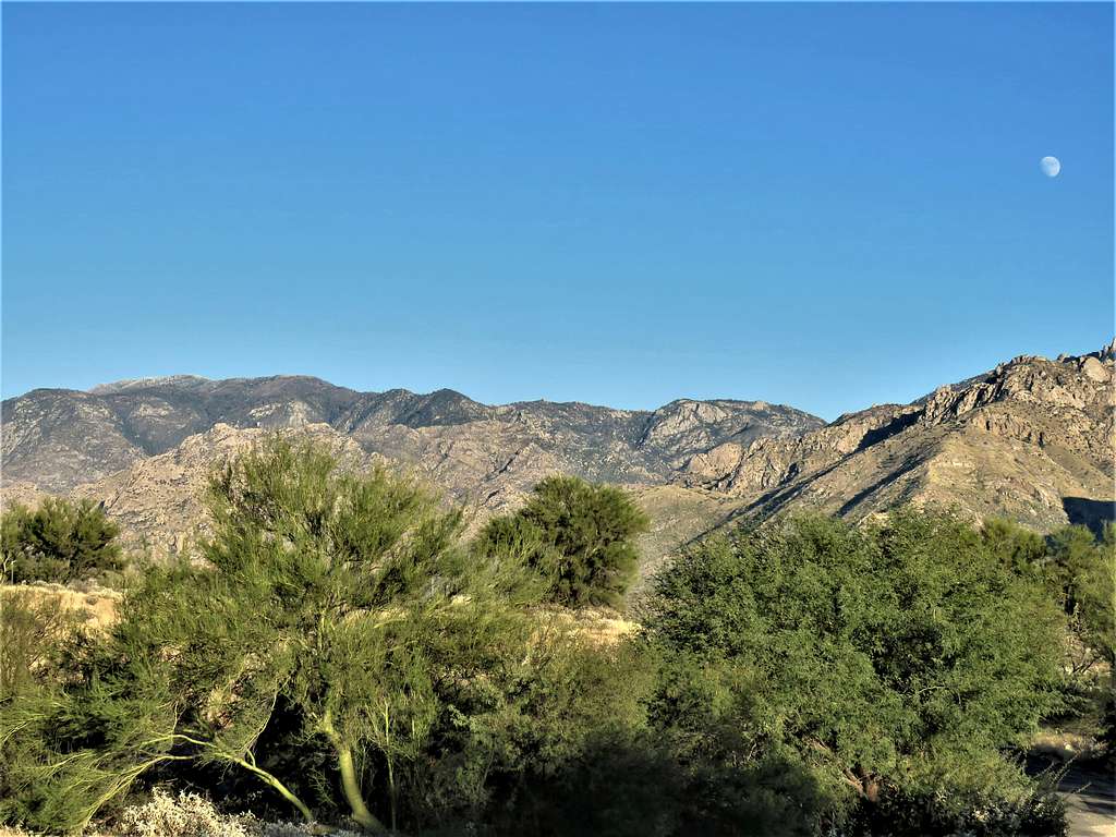
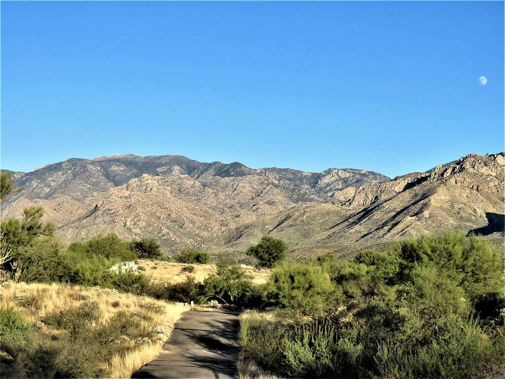
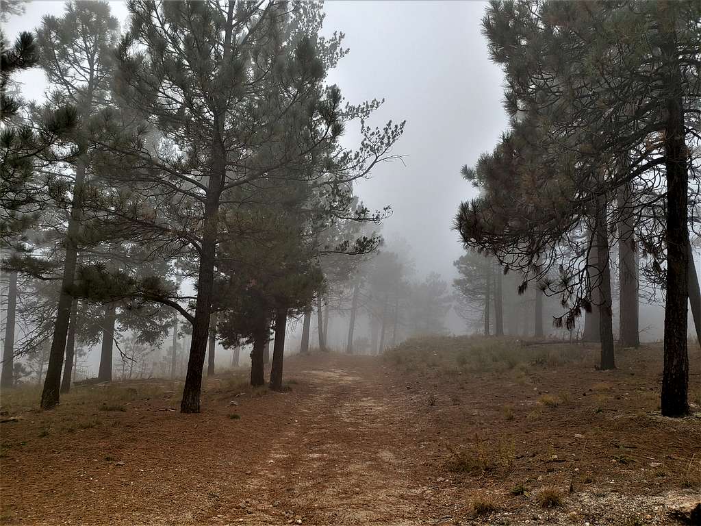
My wife Mary and I left the vacation rental house in Oro Valley at 5:30 AM (Sunrise 6:41 AM). After 35 minutes of driving on the streets of Tucson, we reached the beginning of Mt. Lemmon Highway as it was starting to light up. The drive itself was very scenic going from prickly cacti to alpine forests while getting glimpses of sunrise at some highway corners. It became foggy just below the very top. We stopped at a parking area where a gate restricted public access to the observatory area that sat at the very top.
It was foggy, 35 degrees F with a cold wind shaking the trees and occasional drops of rain falling. The forecast for the city of Tucson had called for sunny skies and a high of 80 degrees F. I knew that going down the slopes, I would soon be out of the cold but leaving the comfort of the car was still intimidating.
Started my hike at 7:10 AM (elevation 9100 ft) and asked Mary to pick me up at Santa Catalina State Park at around 5:00 PM. Saying goodbye to her, I was well aware that if I were injured, I would have to spend the night on the mountain and If I were to run into an impassable obstacle after descending thousands of feet, coming back up to the summit would be extremely taxing (did not see any other people until hours later when I was below Romero Saddle where a group of 3 workers were fixing the trail).
Began to hike in the fog down a dirt road following the path that I had entered into my GPS from the Caltopo website.
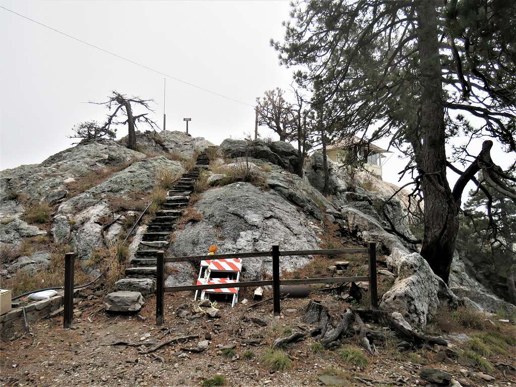
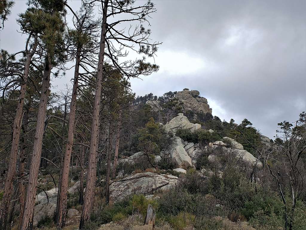
Took a short spur to Lemmon Rock Lookout. Went up the steps to the cabin but the door was locked.
I was soon out of the fog. Interesting to see a cloud ceiling right above me.
The trail began to zigzag down the slopes.
The wind stopped and I felt warm enough to remove my raincoat and ski gloves. Looking back up at the Lemmon Rock Lookout.
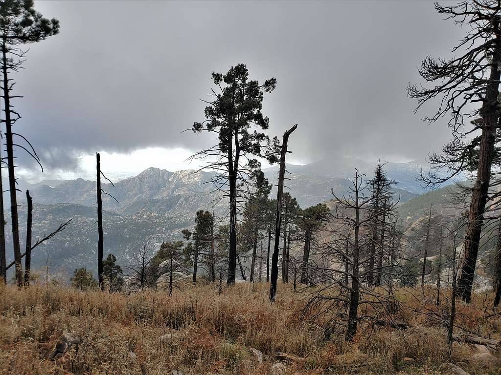
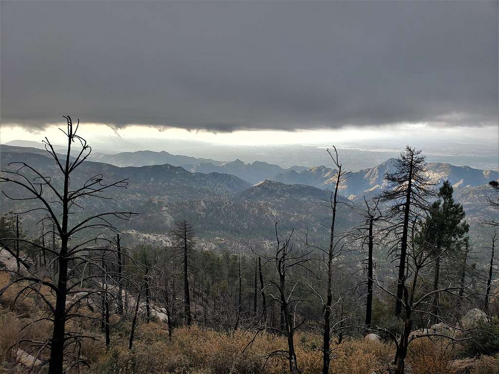
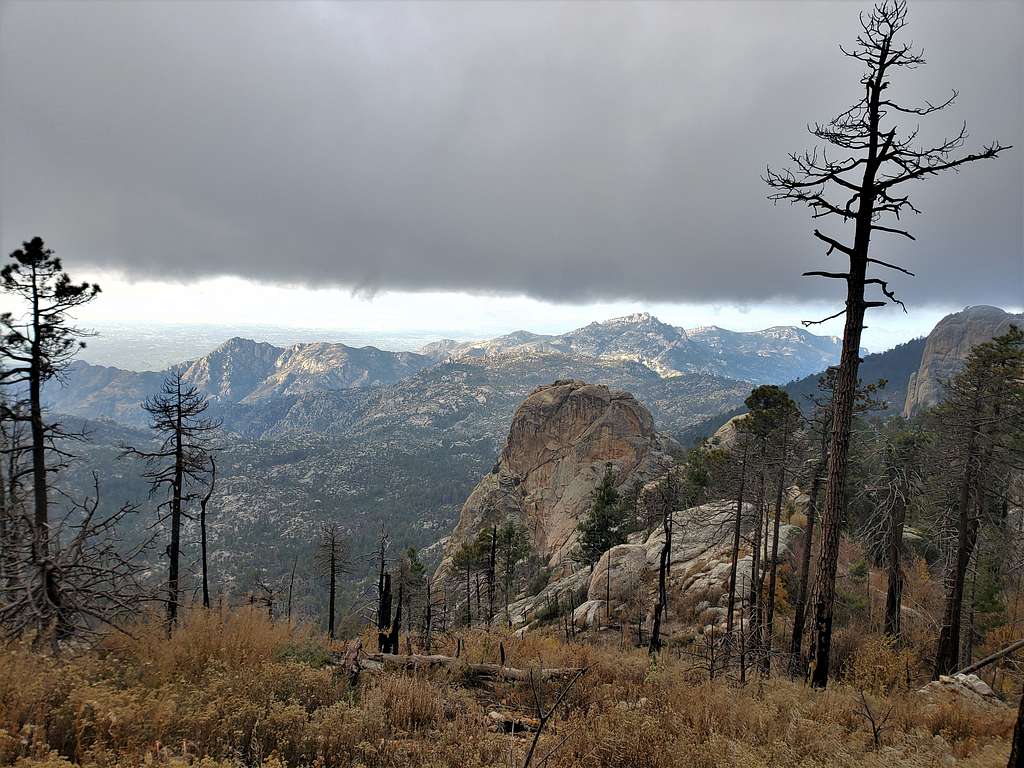
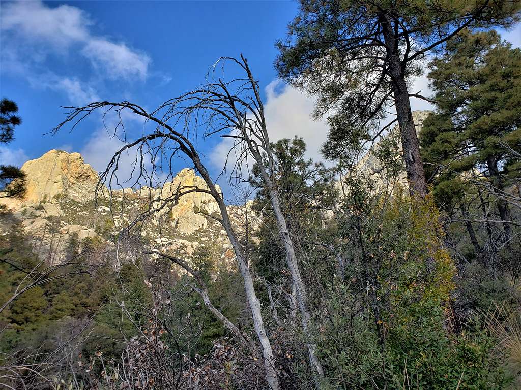
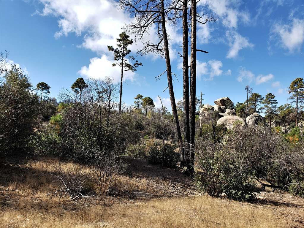
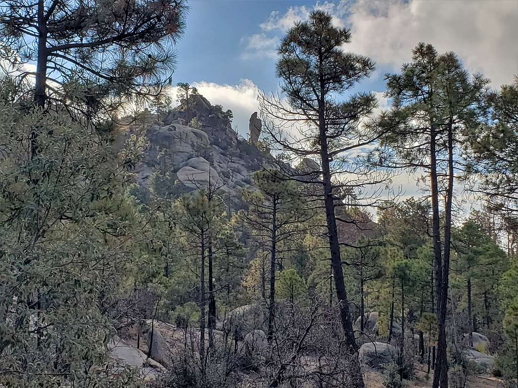
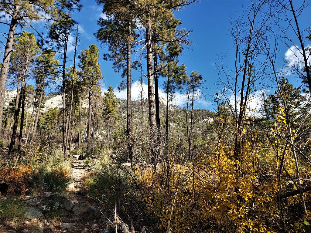
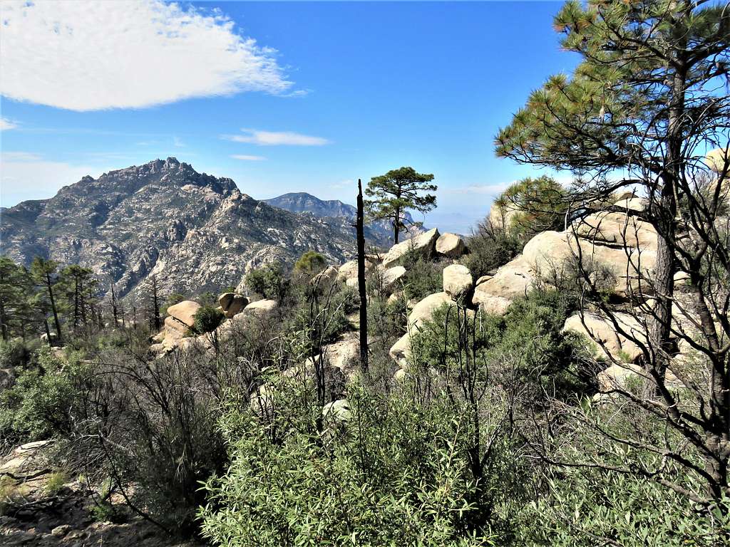
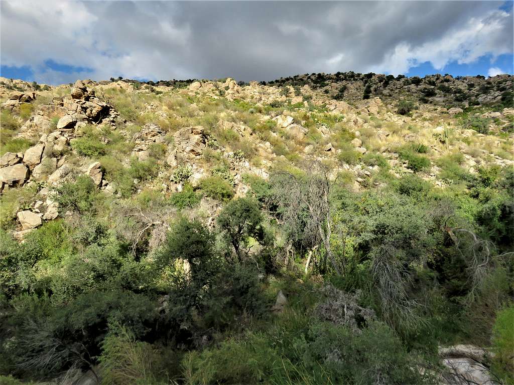
Burnt forest.
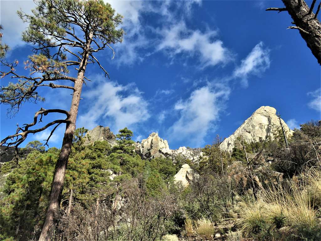
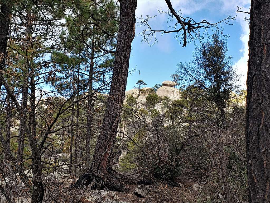
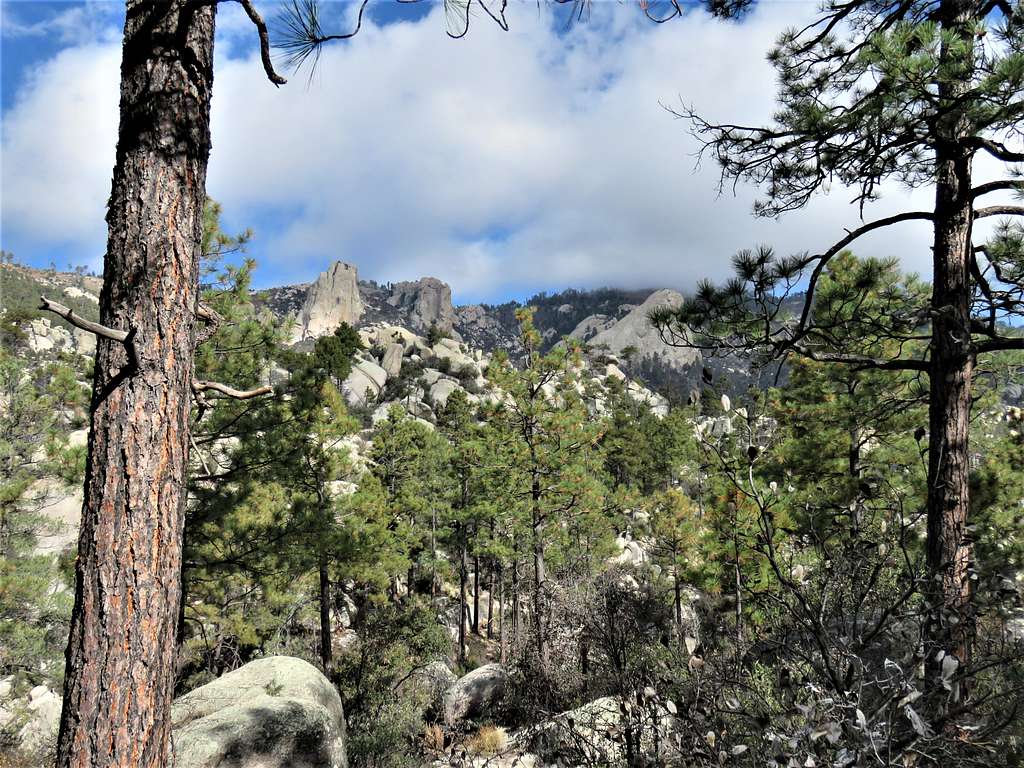
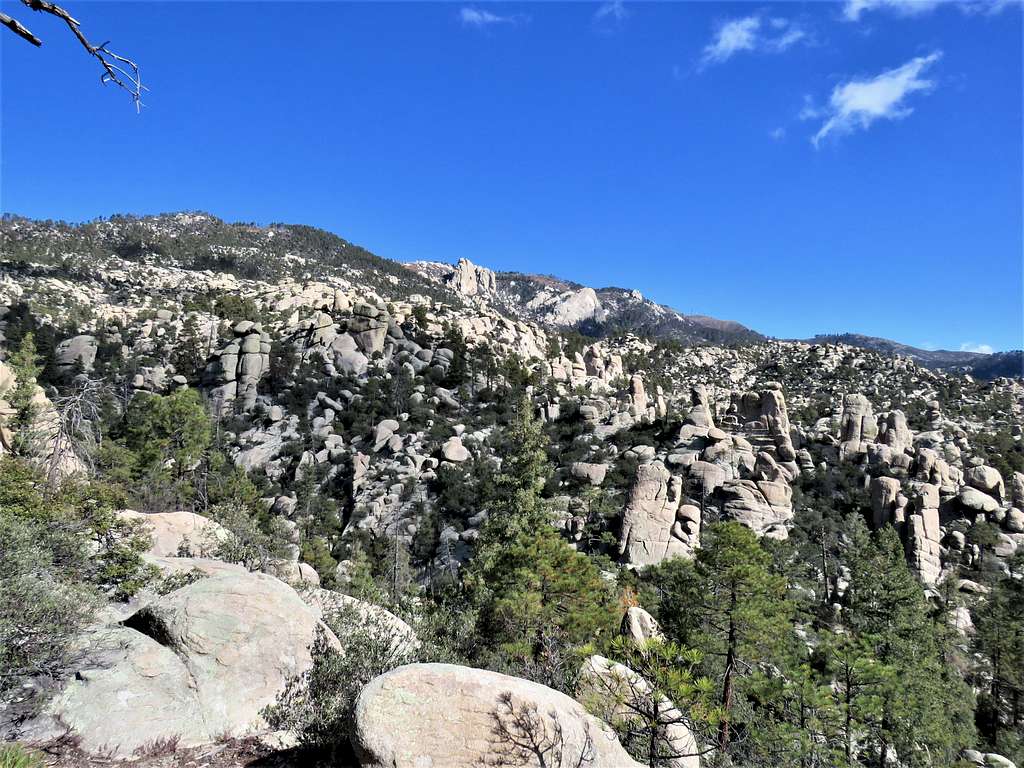
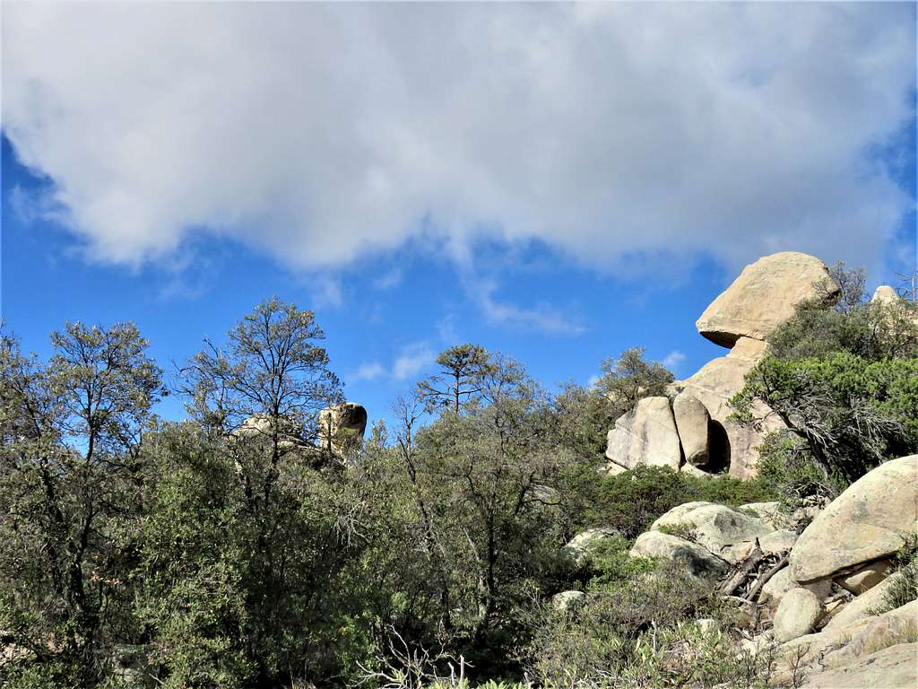
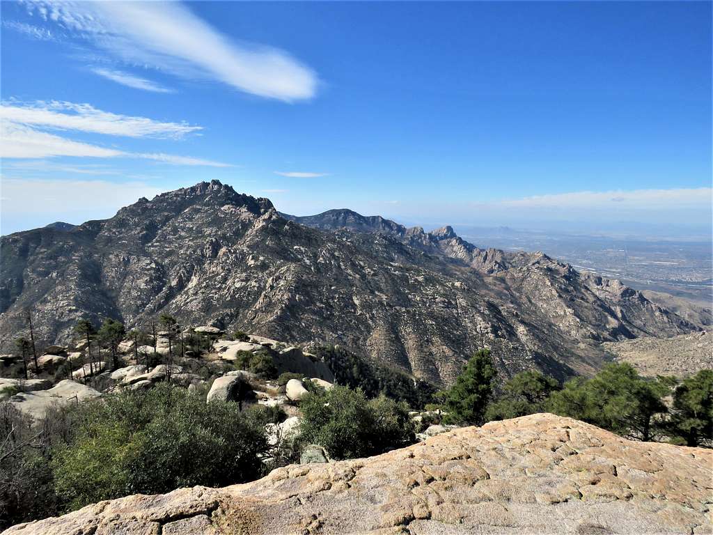
Impressive rocky formations above.
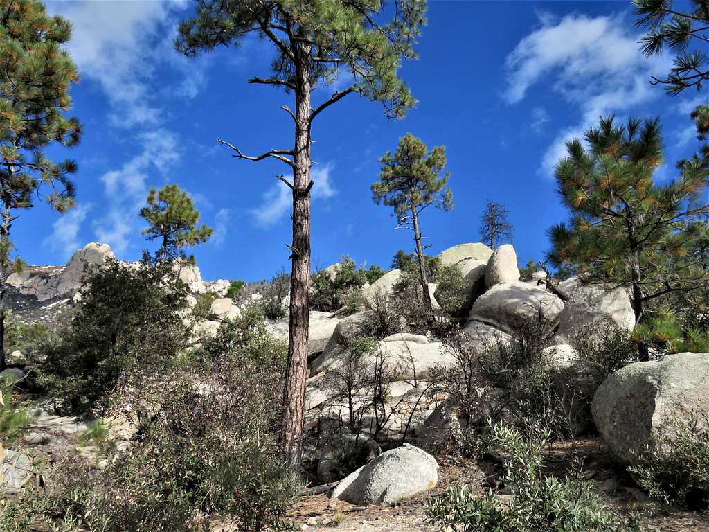
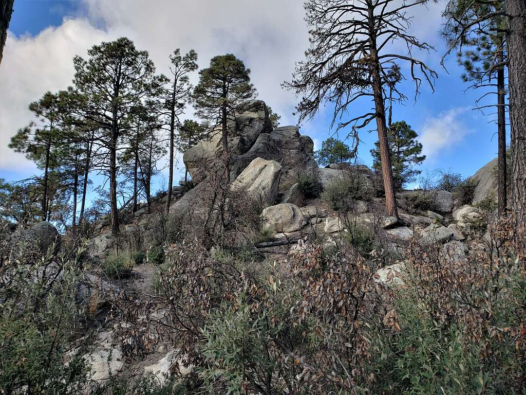
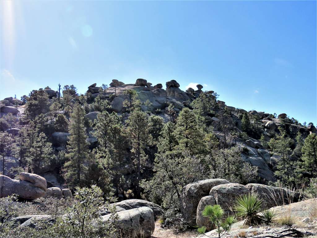
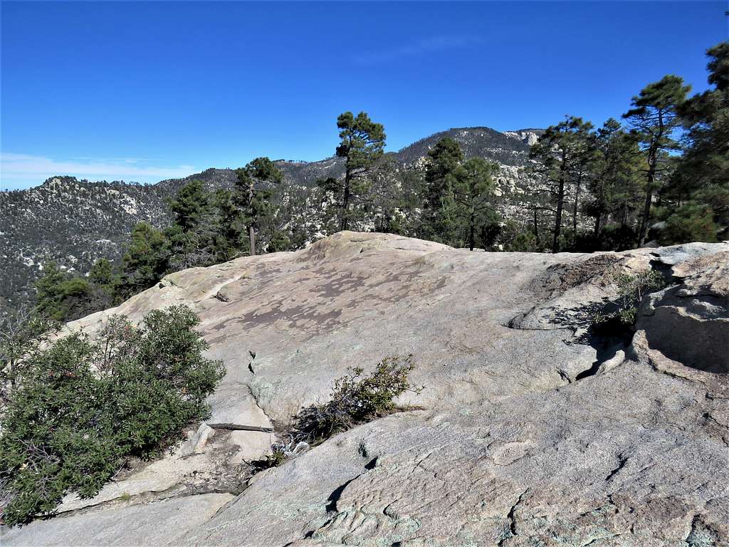
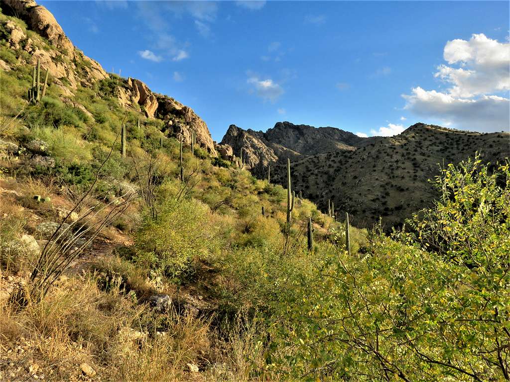
At 9:06 AM, 2.83 miles and 7240 ft elevation, I reached the junction with the Wilderness of Rocks Trail. Sat there to eat and drink a little. Was concerned about my slow pace. In 2 hours, had not even gone 3 miles. For the next 2.8 miles, the trail did a number of ups and downs on a beautiful, forested plateau in the Wilderness of Rocks.
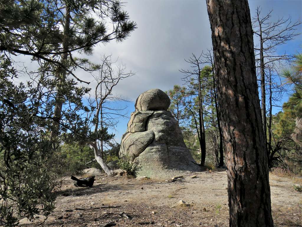
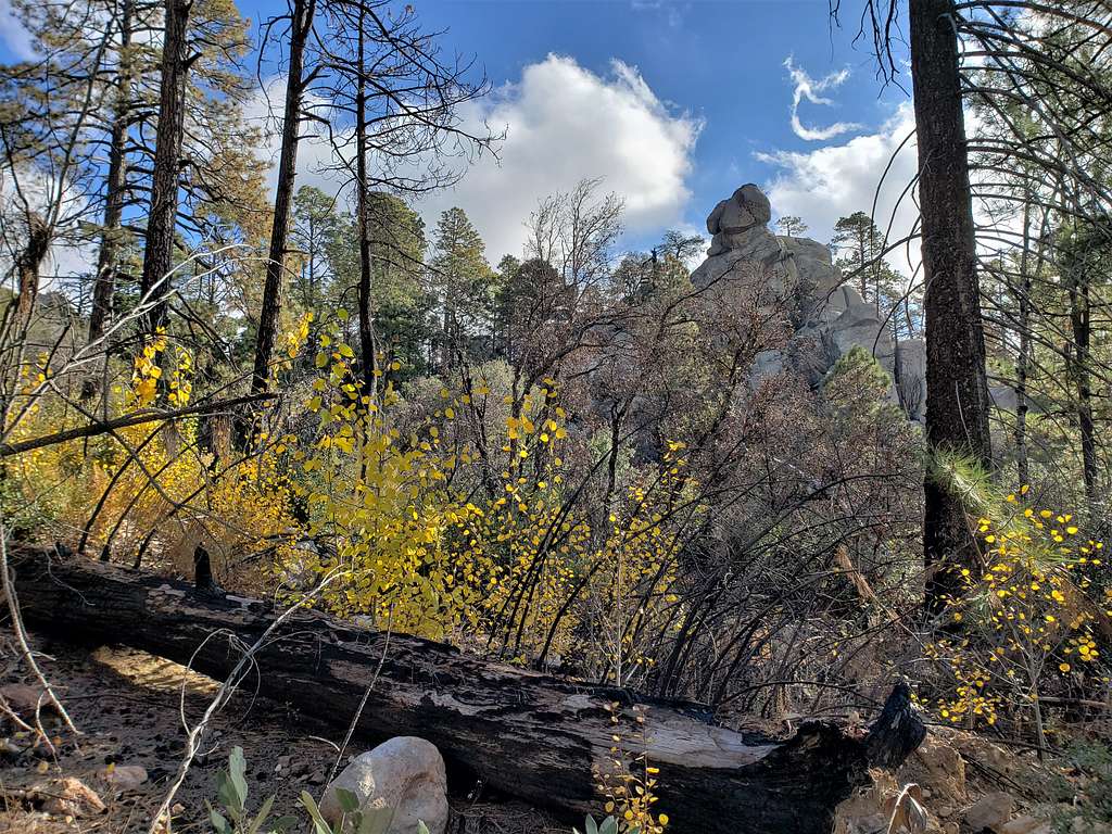
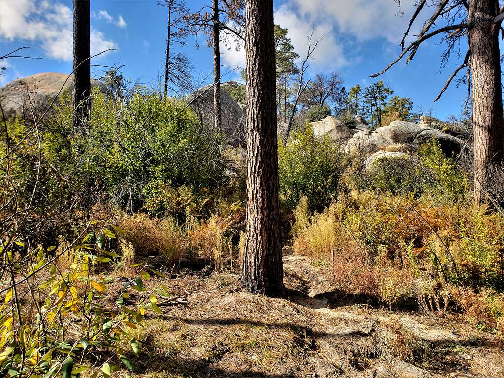
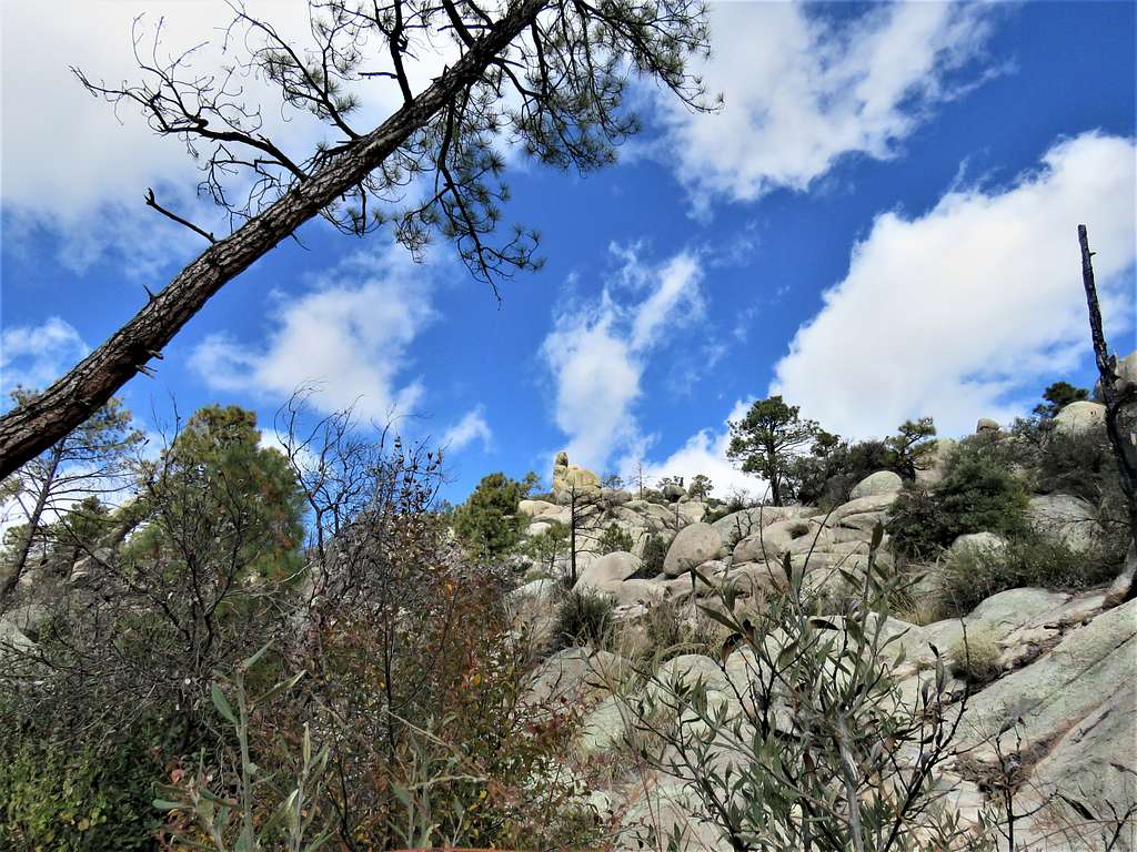
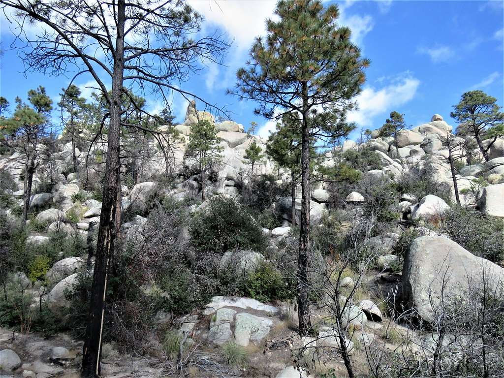
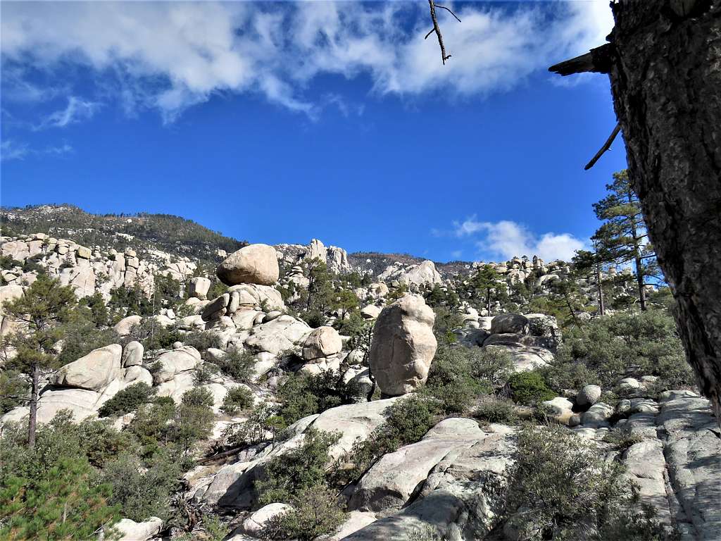
Jumbles of rock.
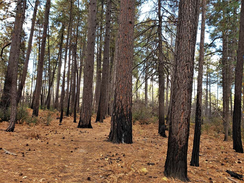
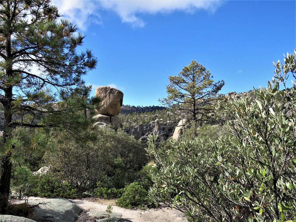
Beautiful forest.
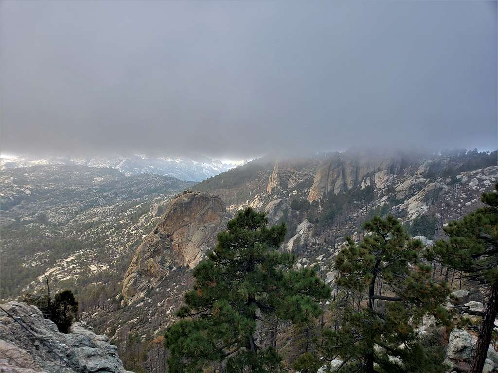
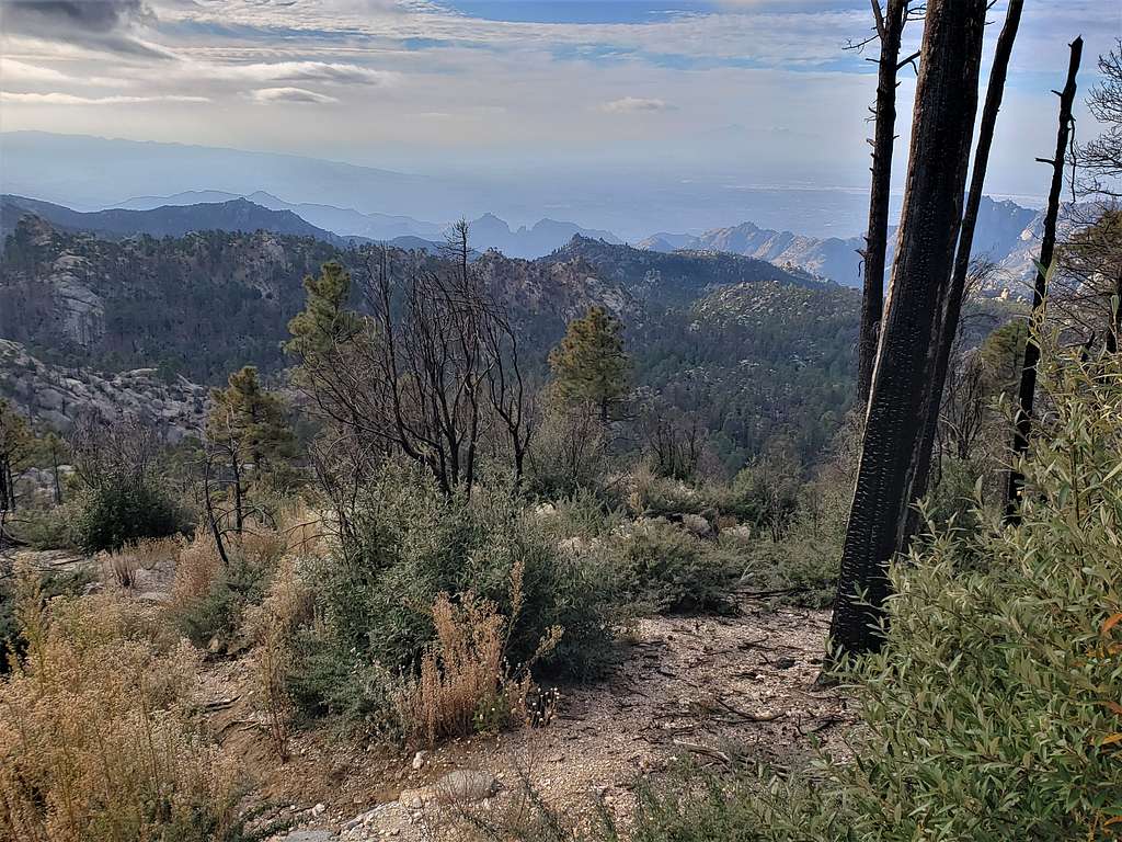
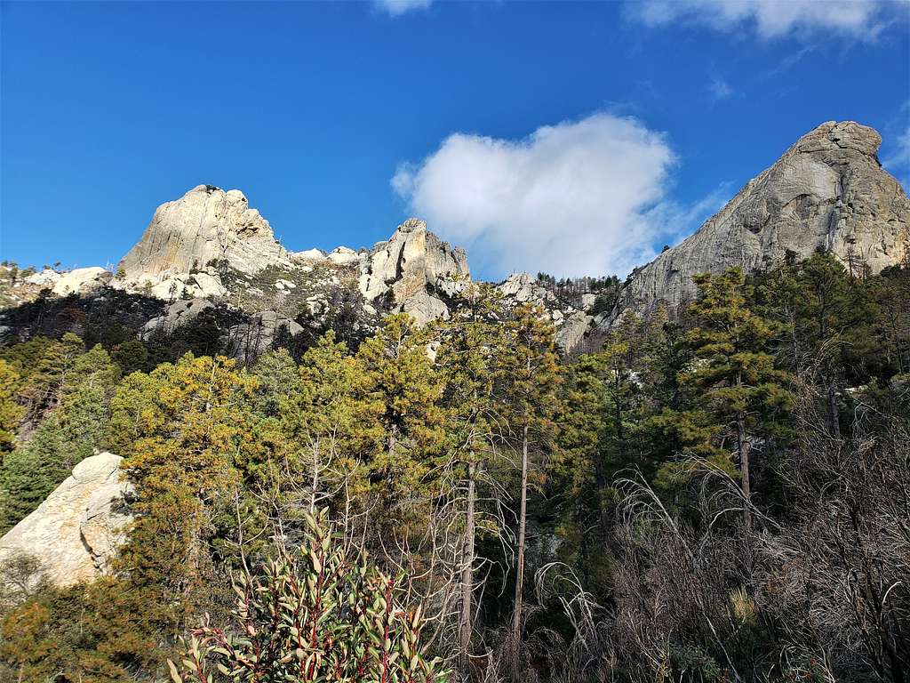
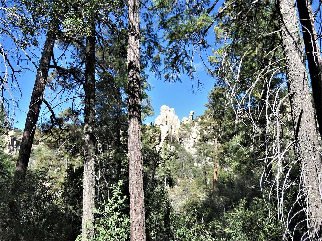
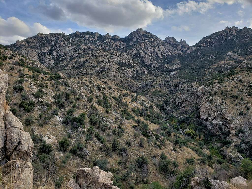
Looking back at the summit, still in clouds.
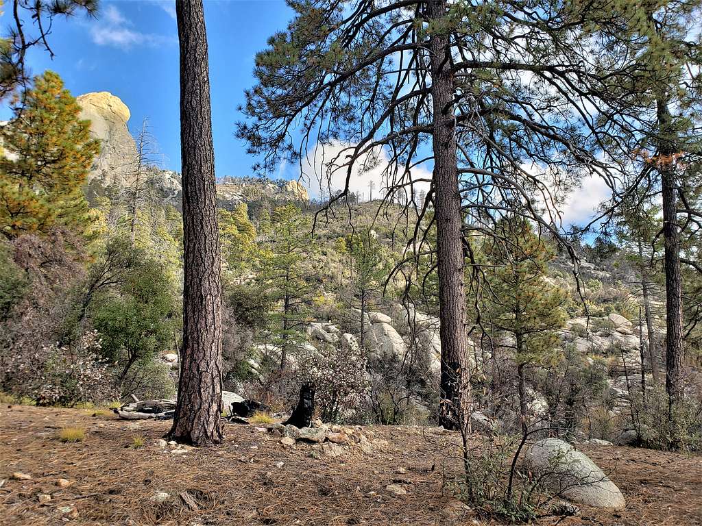
More jumbles of rocks.
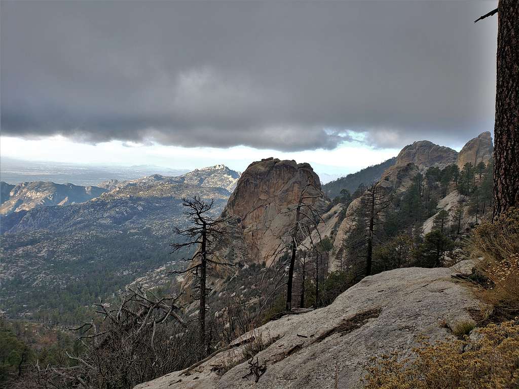
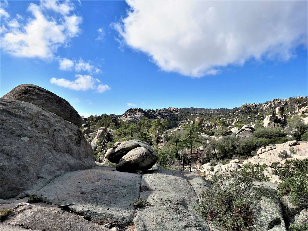
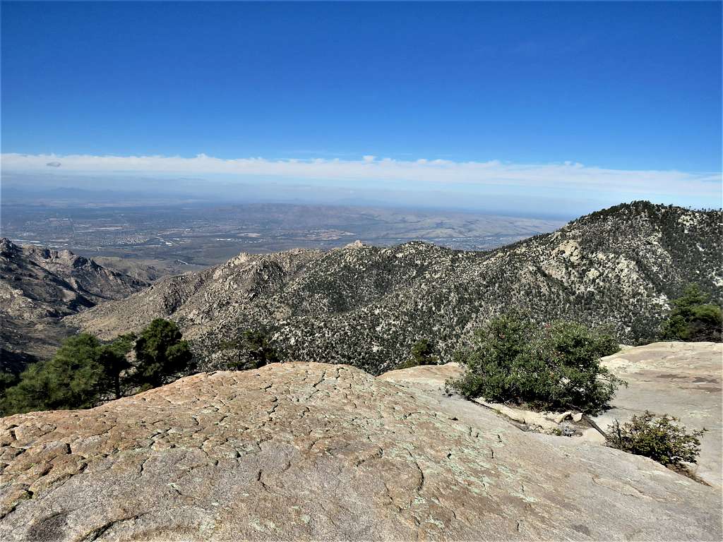
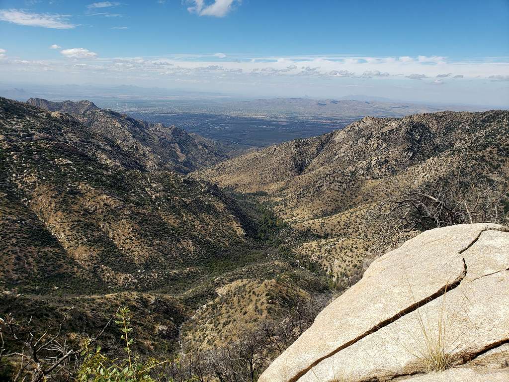
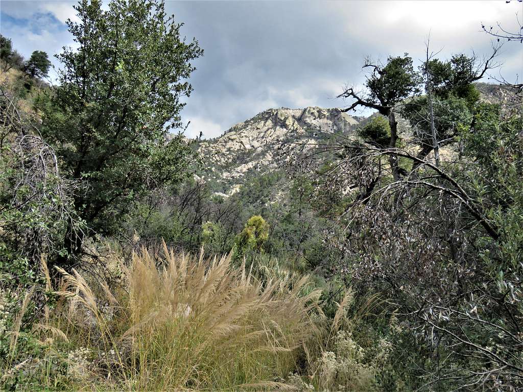
After a 300 ft vertical uphill, I reached a large slickrock area at the edge of a big drop off with spectacular views. It was 10:50 AM, 5.58 miles and 7450 ft elevation. I was still concerned about my slow pace but decided to sit there and have my lunch. Had good cell phone connection so I called Mary to let her know where I was.
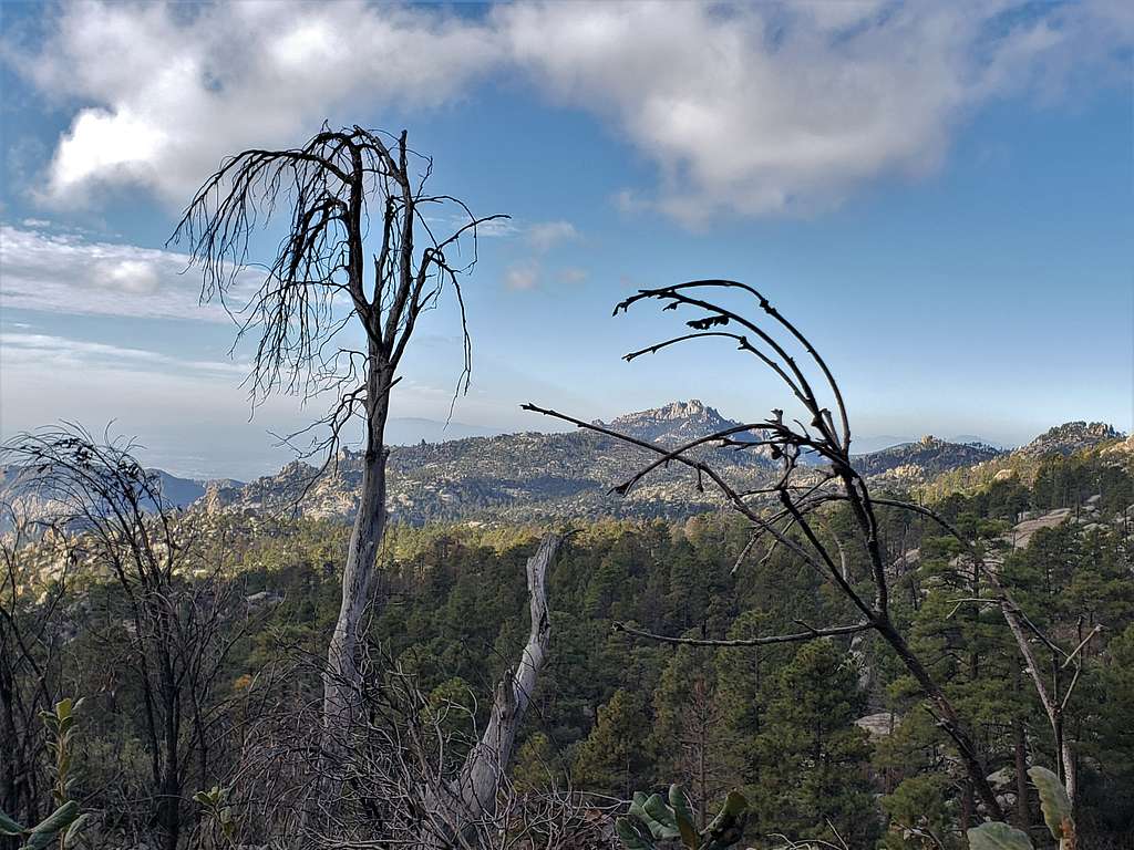
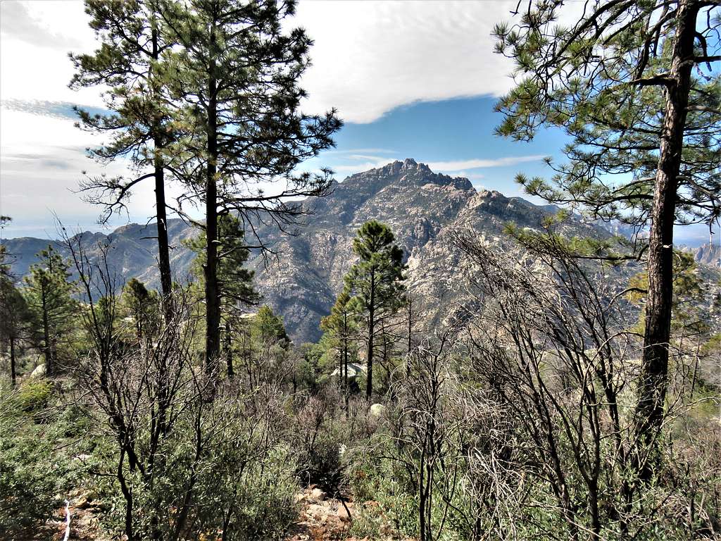
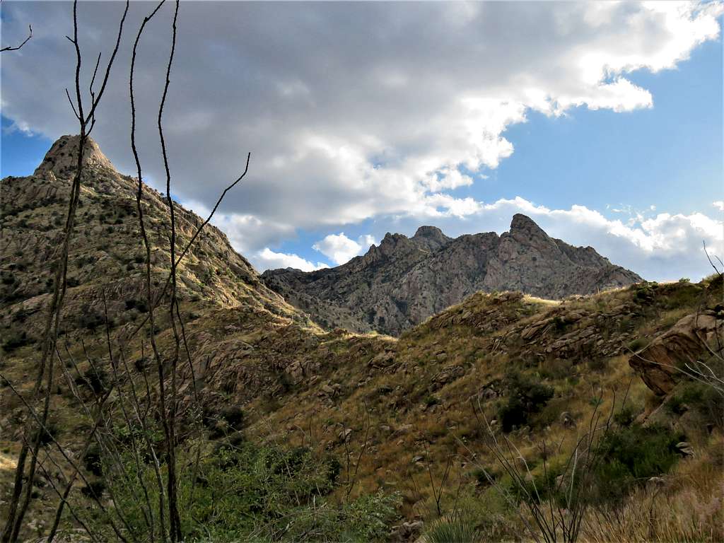
View of Cathedral Rock and Mt. Kimball.
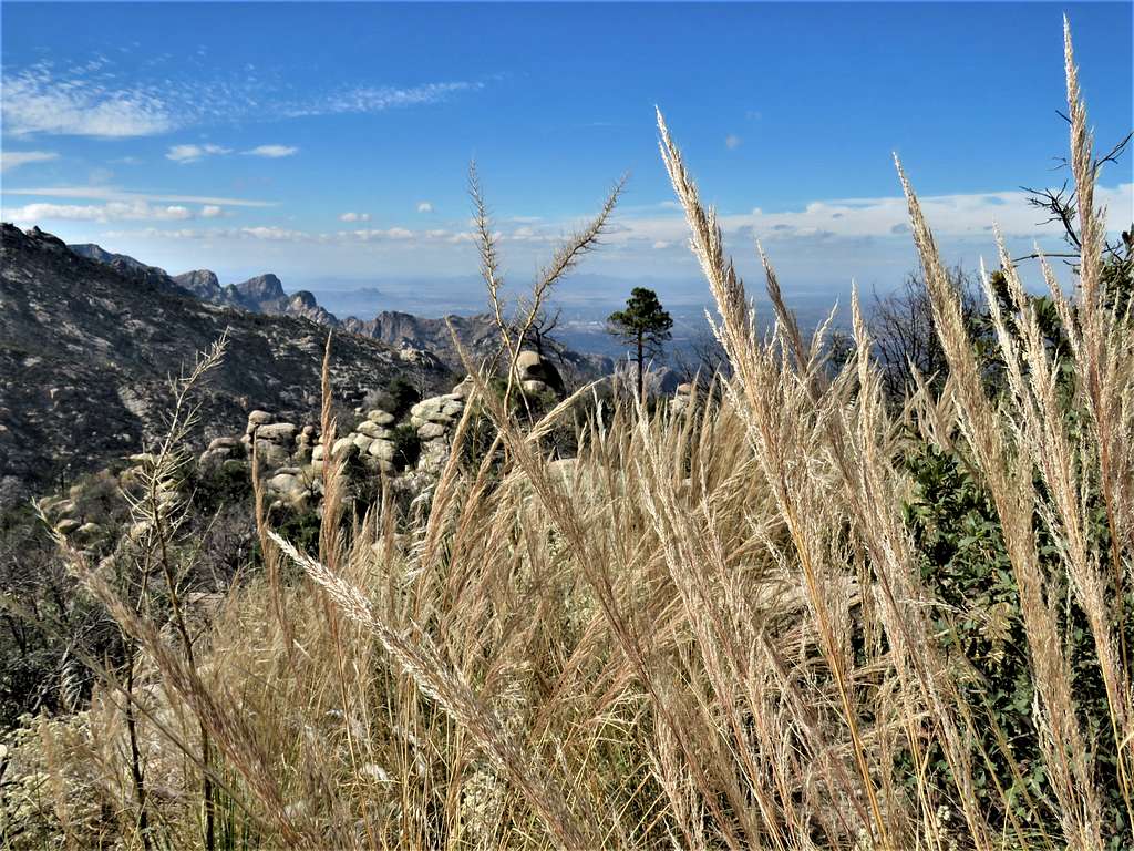
Plains below, where Catalina State Park was, still 4750 more vertical feet to descend (plus more uphill).
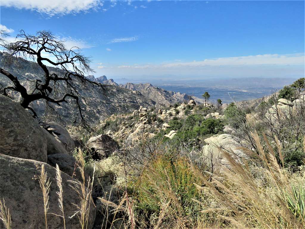
Looking back at the summit of Mt. Lemmon.
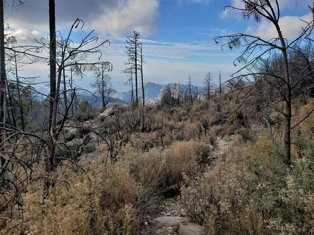
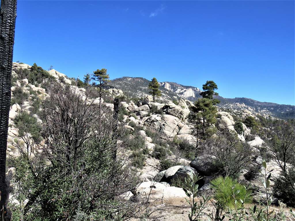
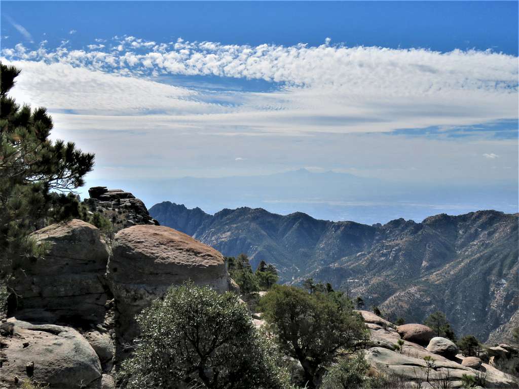
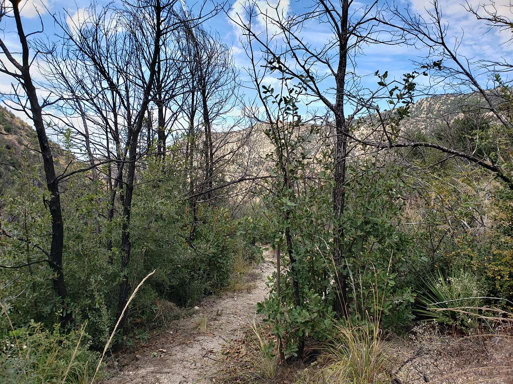
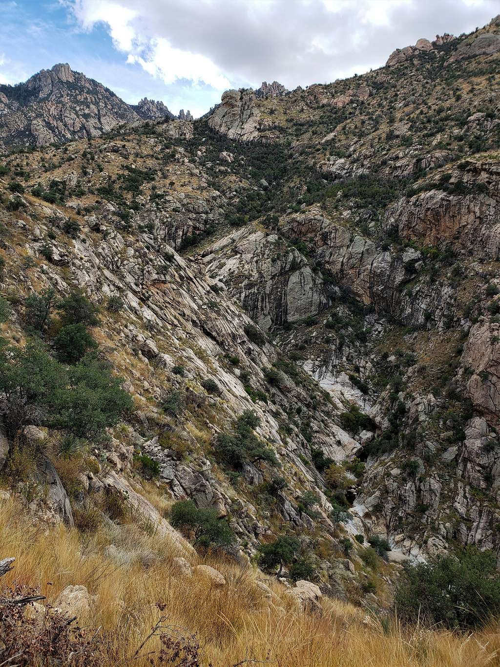
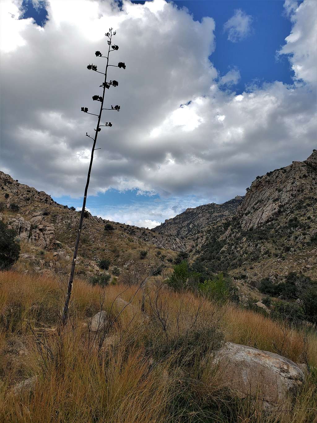
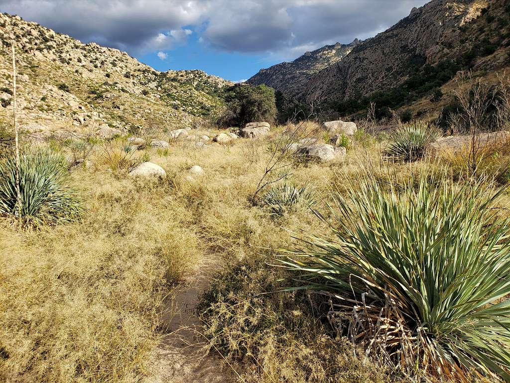
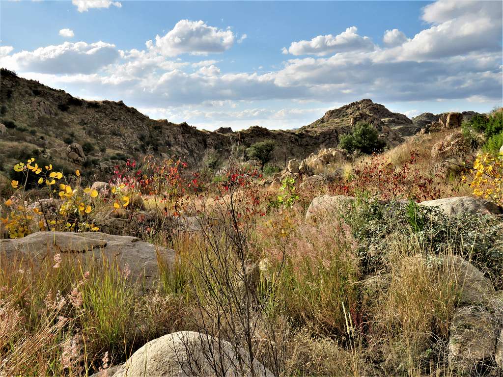
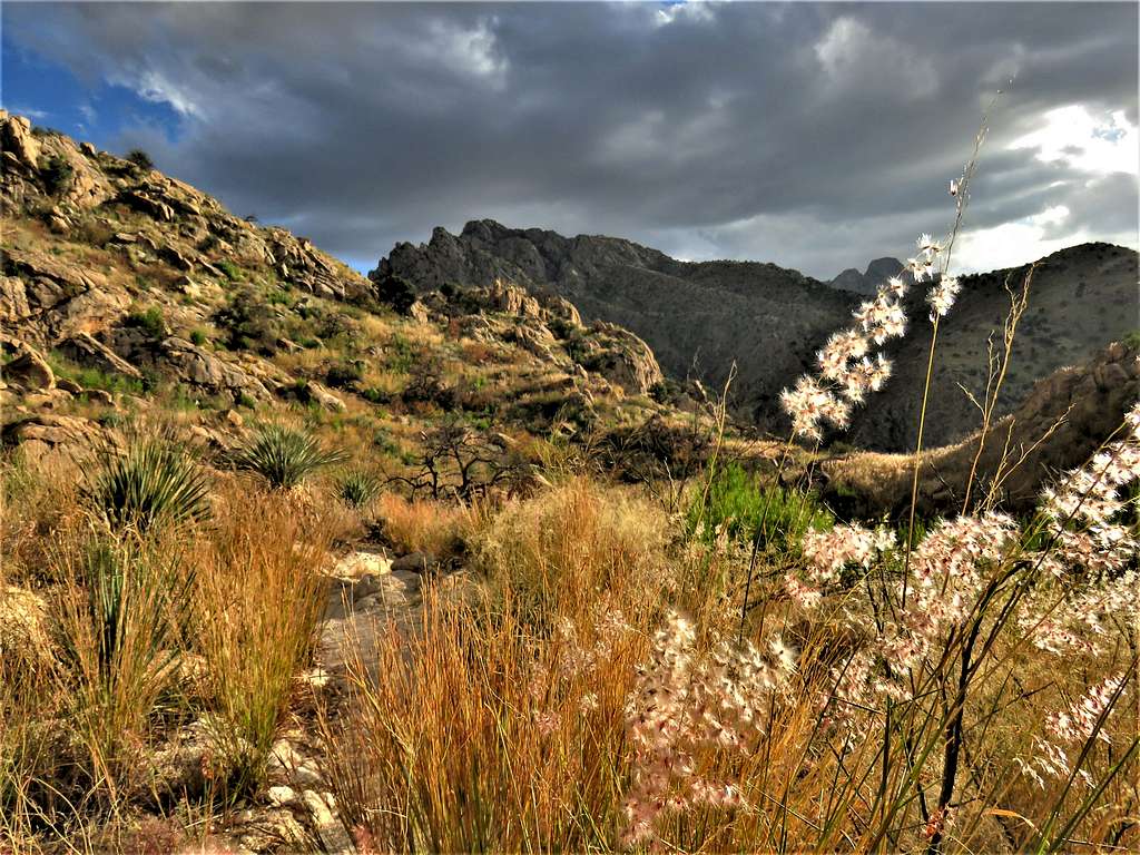
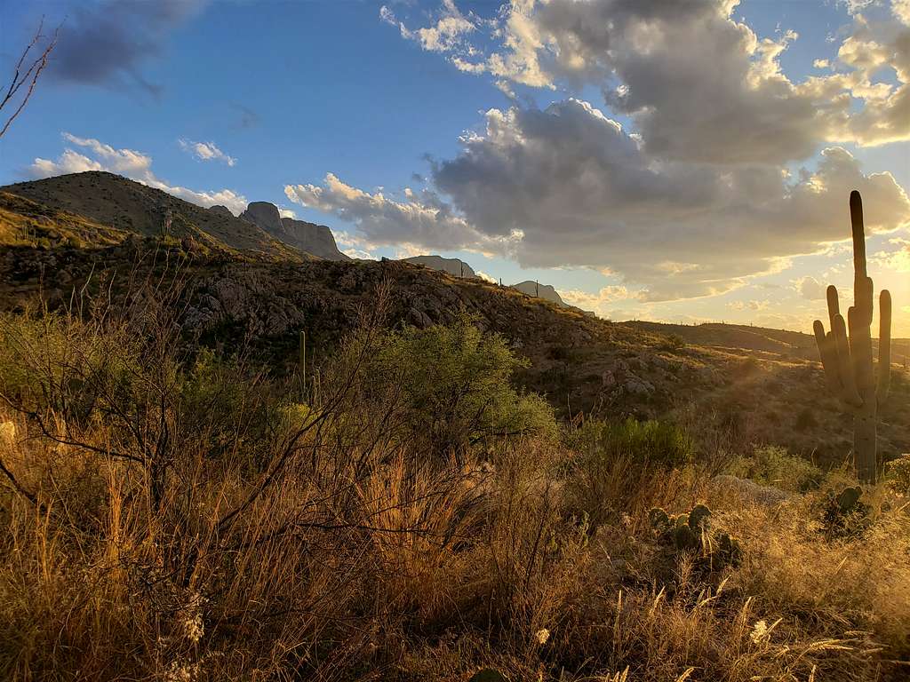
The trail then began to make a lot of twists and turns going down toward Romero Saddle. It was overgrown but still easy to follow. Tall pine trees gradually went away, and the slopes became covered with yellow grass and shrubs.
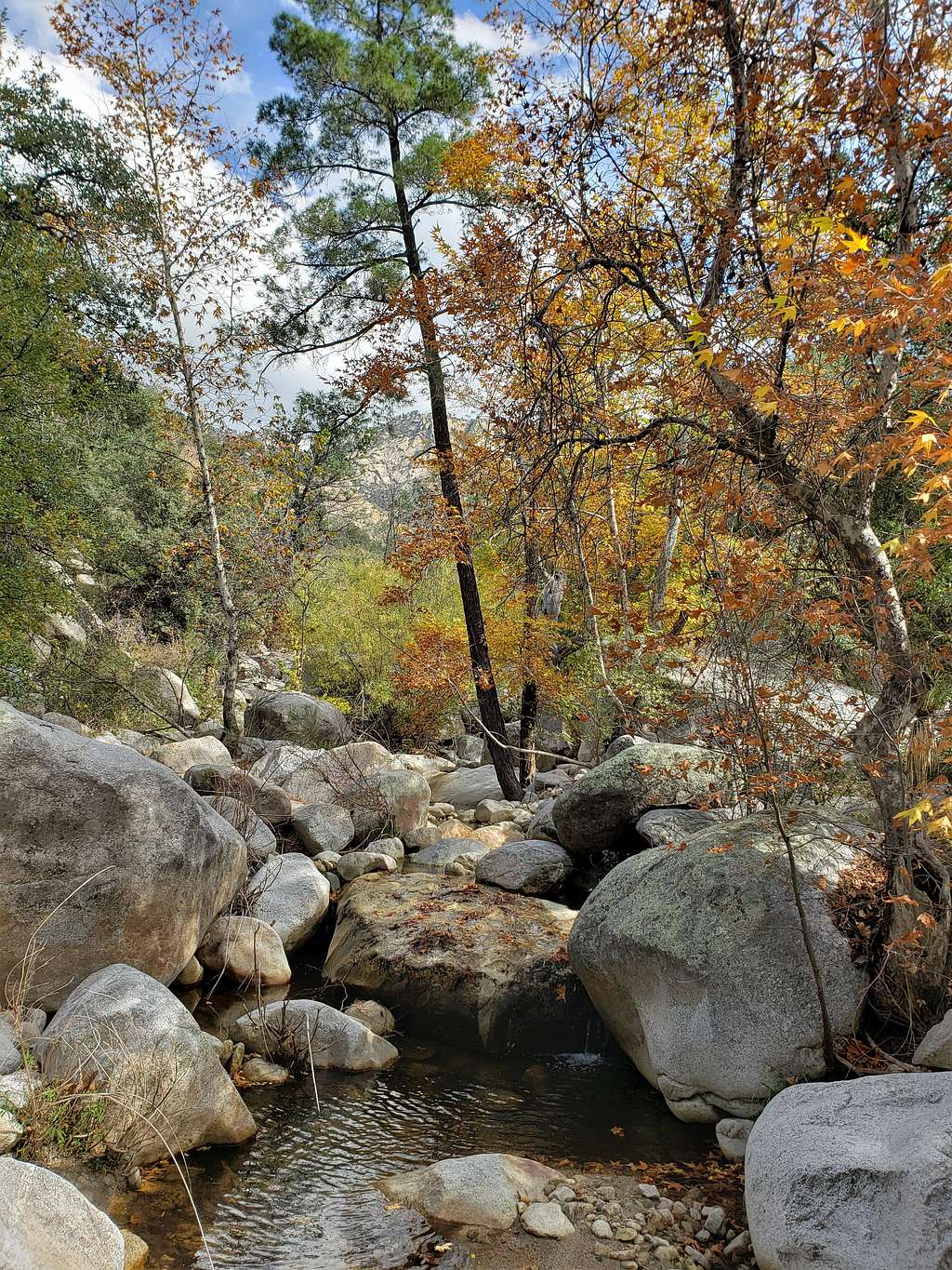
Romero Canyon.
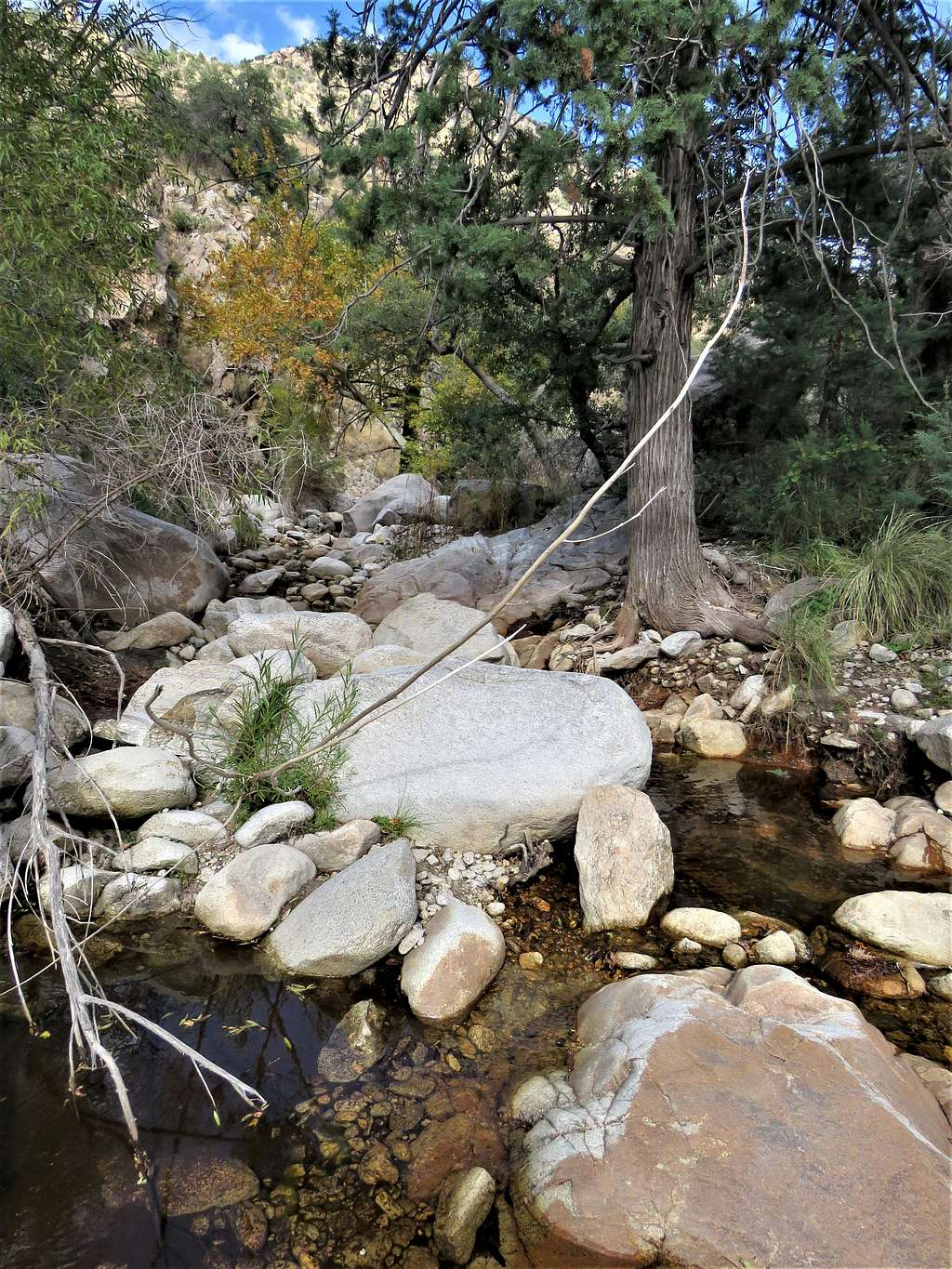
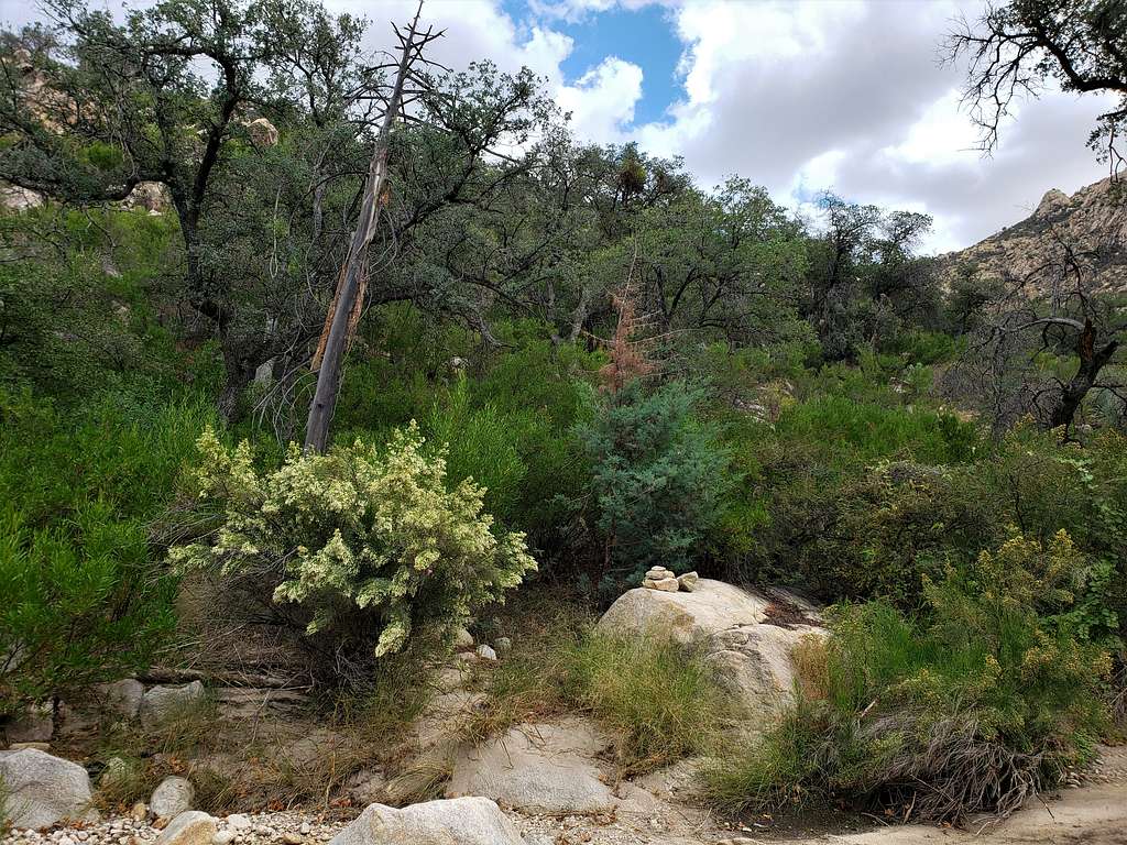
Reached the 6020 ft Romero Saddle at 12:20 PM and 7.35 miles. Sat there to eat and drink. Below the saddle, for a short section, the trail was not visible. I ran into a group of 3 forest service people fixing the trail. They were the first people that I had seen all day. Reached the bottom of Romero Canyon where there were green shrubs and burnt standing trees.
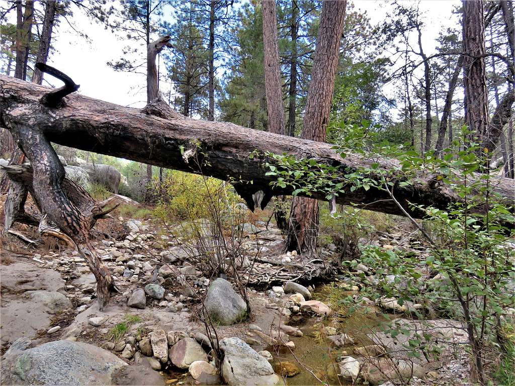
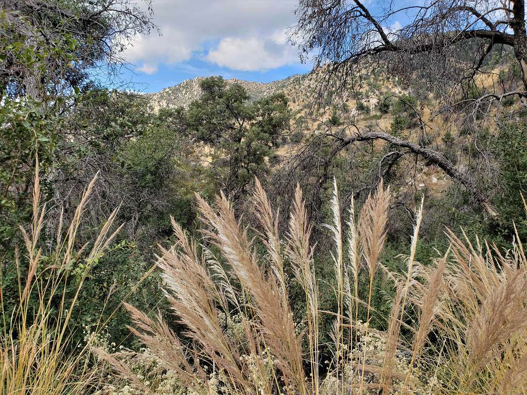
After the junction with another branch of Romero Canyon, the vegetation became very dense. For the most part, I could find remnants of a trail that I could follow but, in some places, I ended up whacking my way through the dense growth. Fortunately, did not see or step on any snakes. Cairns and tree blazes marked the trail. The thing that helped me the most, was having the correct path in my GPS. My progress had become even slower, and I was starting to worry about not making it to the end before sunset. That situation lasted for 1.4 miles.
The trail then left the bottom of the canyon climbing the slopes on the north side taking me away from the dense growth and the bushwhacking.
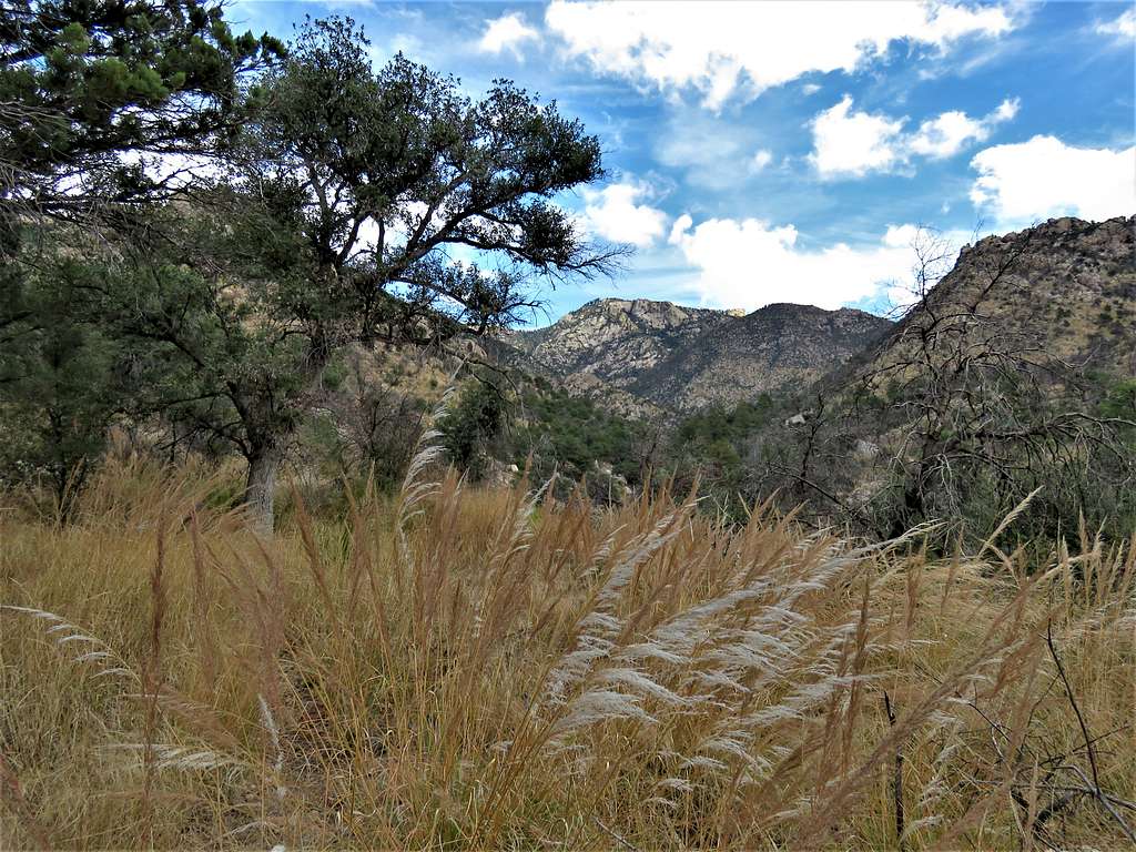
After a series of switchbacks, was back to the bottom of the canyon again.
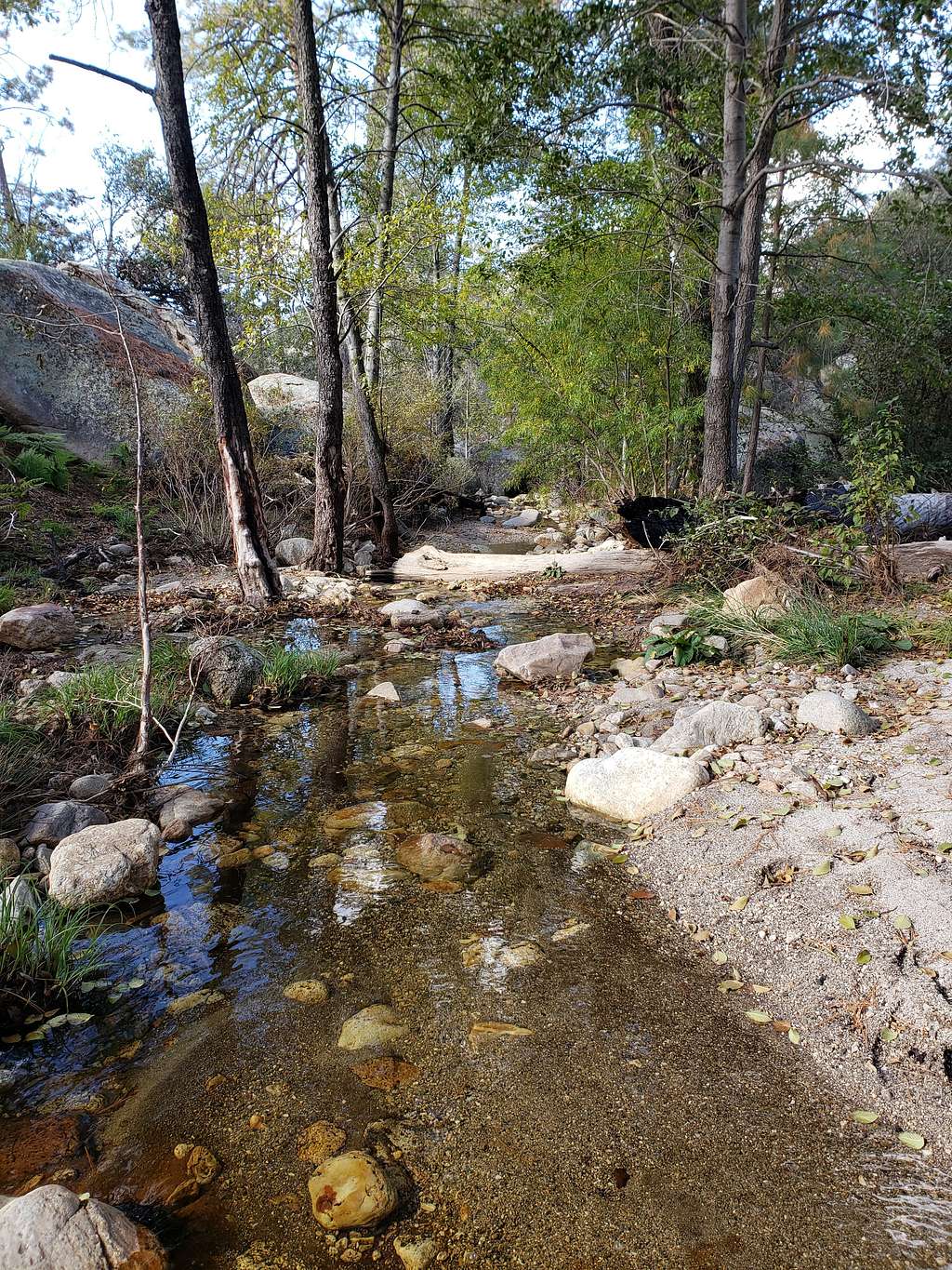
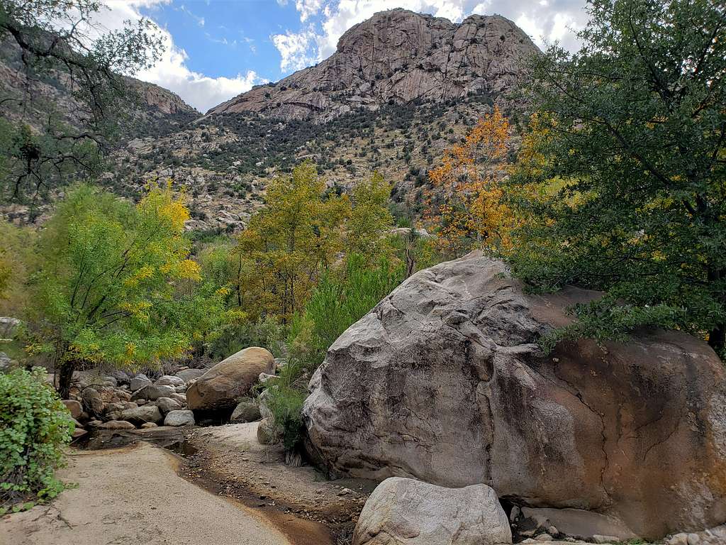
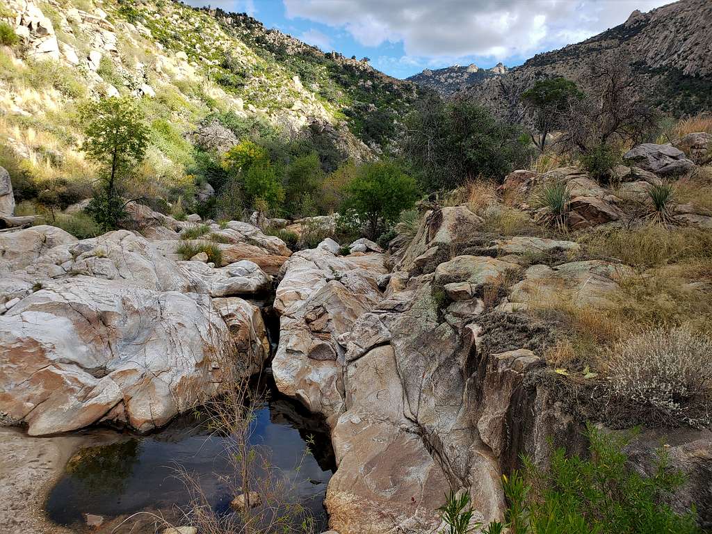
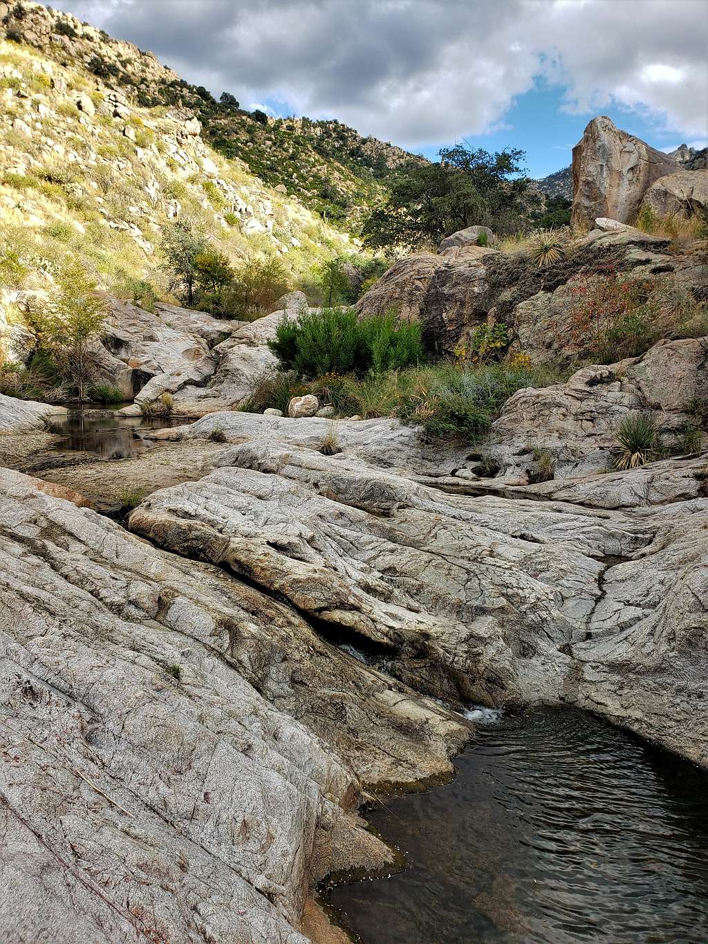
Romero Pools.
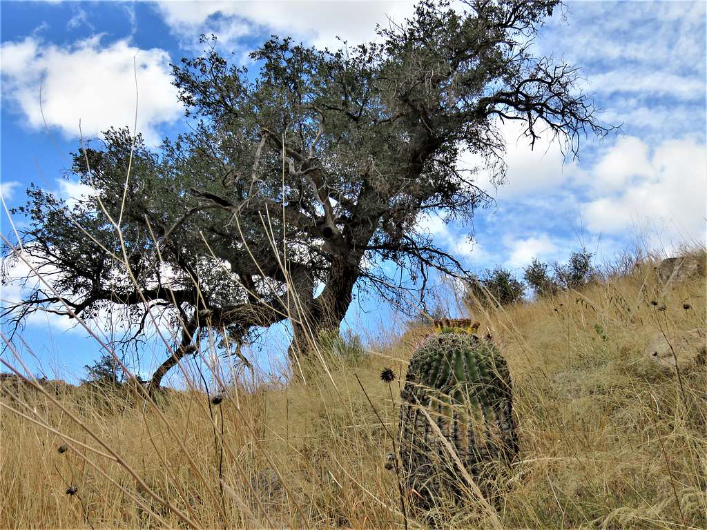
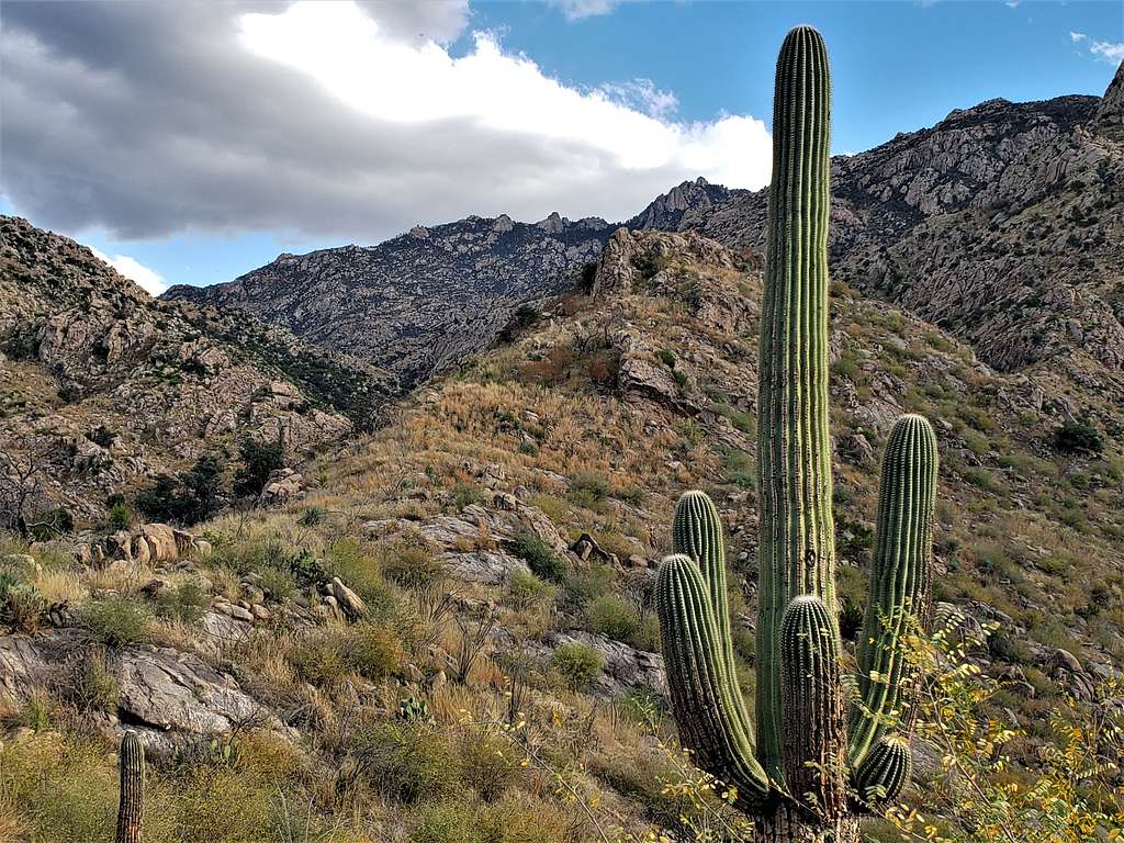
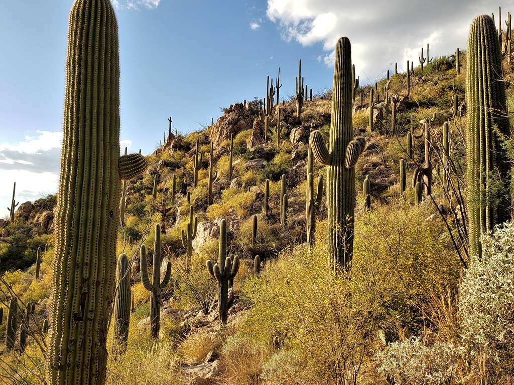
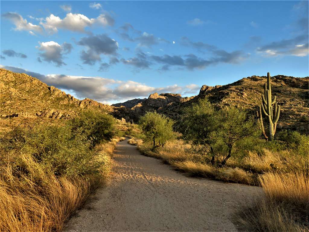
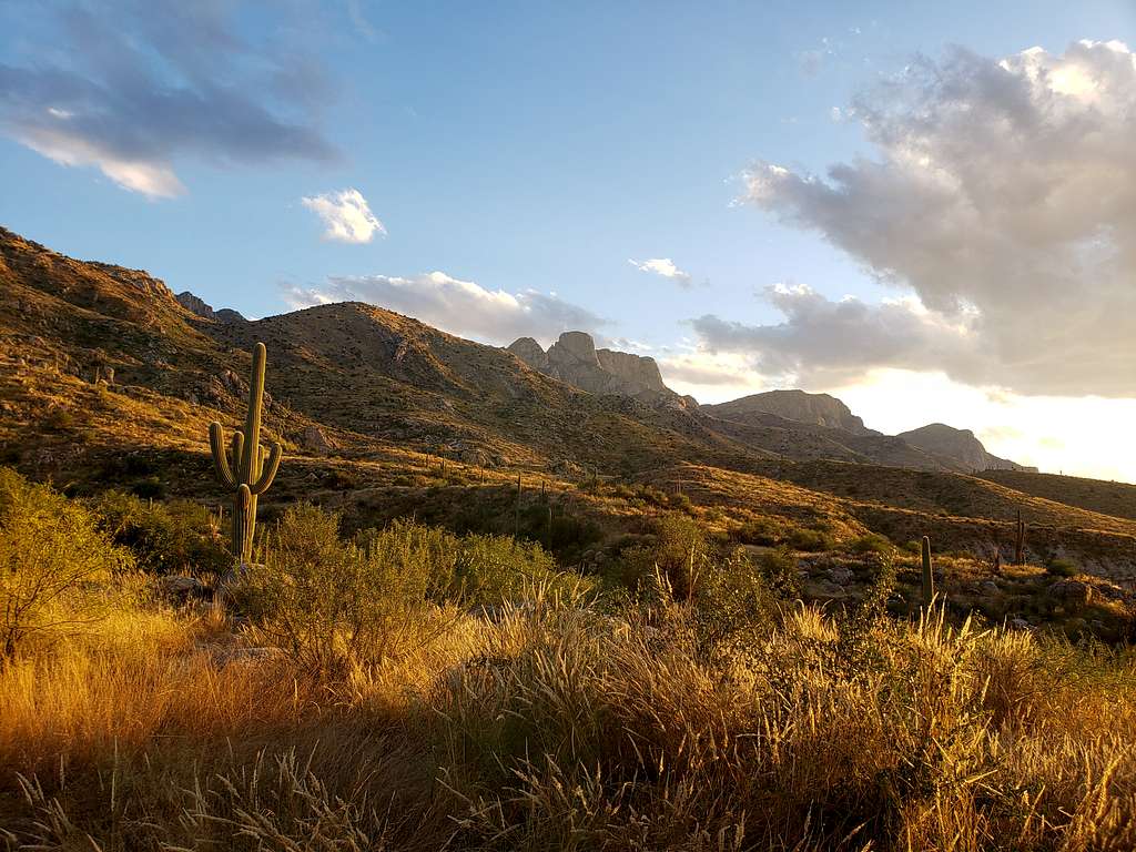
It was 4:00 PM and I had still a long way to go. Ran into a lone hiker who had come to that spot from Santa Catalina State Park and was going back down. He was the only hiker that I saw all day. I waited there to take pictures and let the guy get far ahead of me. The trail left Romero Canyon and began to climb the slopes of Peak 3935 ft among Saguaro Cacti.
It was 4:45 PM and I had hiked around 12.5 miles. Caltopo mapping website had measured the hike length at 13.2 miles. From experience, I knew that my GPS would measure longer but I did not seem to be anywhere near the end. Called Mary who was just driving into Catalina State Park. The trail finally went down the mountains and got onto a sandy wash where I could walk fast. Had great late evening/sunset views of the peaks of the Pusch Ridge.
Reached the parking lot in Santa Catalina State Park where Mary was waiting for me at 5:28 PM, 2717 ft elevation and 14.88 miles per my GPS. A lot of other cars and people were there. I was filled with joy. What a fantastic hike but why did it take so long?