
-
 2767 Hits
-
 72.08% Score
-
 2 Votes
|
|
Route |
|---|---|
|
|
46.67200°N / 12.69500°E |
|
|
Hike |
|
|
Half a day |
|
|
Walk-Up |
|
|
Approach
The trail starts directly in Maria Luggau. See the "Getting There" Section of the main page.
Route Description
- Start altitude: 1173mm
- Summit altitude: 2424m
- Prevailing exposition: N
- Type: 1h 30 min over forest roads, 2h 30min over paths
- Protection: marked
From the centre of Maria Luggau start out south towards the Gail River Gorge. You'll cross the river after 700m and start ascending towards the hamlet Raut. Cross the hamlet and at the southeastern end a small trail starts climbing steeply through a dense forest. It meets a forrest road after 1km, which it follows to Gossenwiesen. The trail is marked No. 455 and 30.
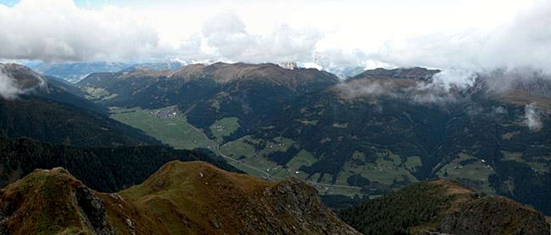
At Gossenwiesen you cross aclearing with 6 hay cabins, only to head southwards along a narrow path, which leads over blueberry meadows to Rauter Alm. There the timberline is reached and again some hay cabins can serve as shelter. The trail gets panoramic with good views towards Zwölferspitzand Torkarspitz before it reaches the base of the Schulterhöhe summit block. Here some scrambling will lead you over the northeaster ridge (east ridge on the final approach) to the summit.
 |  |  |
Essential Gear
Hiking gear is sufficient.