Toggle navigation
Mountains
Routes
Images
Trip Reports
Forum
What's New
People
Areas & Ranges
Articles
Trailheads
Canyons
Huts & Campgrounds
Albums
Logistical Centers
Fact Sheets
Lists
Custom Objects
Gear
Plans & Partners
WELCOME TO SUMMITPOST
SIGN IN
REGISTER
Glacier National Park, MT
Additional Parents
Mad Wolf Mountain
Across the Great Divide (Glacier National Park 2011)
Image
north basin
View High-Resolution Image
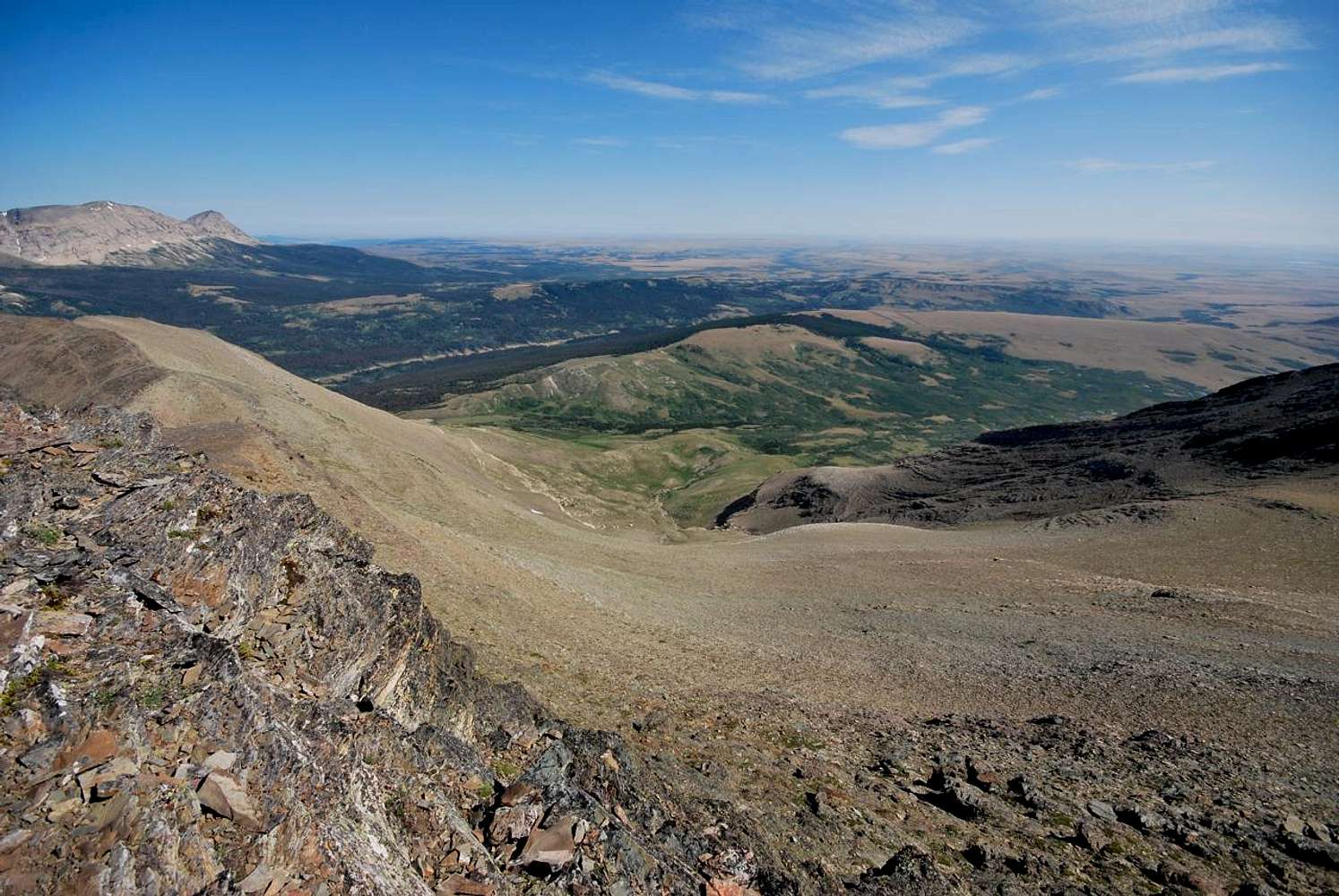
north basin
Wide angle shot of the great north basin of Mad Wolf Mountain. White Calf (left) and Divide (right) mountains are separated by a deep saddle in the extreme left of the photo. Cut Bank Ridge is visible near the center. August 13, 2011
« PREV
NEXT »
distressbark
on
Jan 24, 2013 4:39 pm
Comments & voting
Other parents
Lat/Lon:
48.56775°N / 113.36869°W
Image ID:
835240
1215 Hits
71.06
% Score
1
Votes
Log in to vote
Comments
No comments posted yet.
to post!
Don't have an account?
Glacier National Park, MT
(Area/Range)
You are at
the First
Image
Viewing
#1 of 1
GALLERY
You are at
the Last
Image
distressbark's Image Gallery
« PREV
Viewing
#475 of 598
GALLERY
NEXT »
Mad Wolf Mountain
(Mountain/Rock)
Loading....
Across the Great Divide (Glacier National Park 2011)
(Album)
Loading....
×
You need to login in order to vote!
User Name
Password
Remember me
Forgot your password?
Log me out when I close my browser.
Keep me logged in all the time.
sign in as a user
Don't have an account?
Register now for FREE
Rating available
Suggested routes for you
People who climb the same things as you
Comments Available
Create Albums
Register Here


