| usgs and topo 8 data | [ Sizes: Orig | Large | Med | Small | Thumb ] | |||
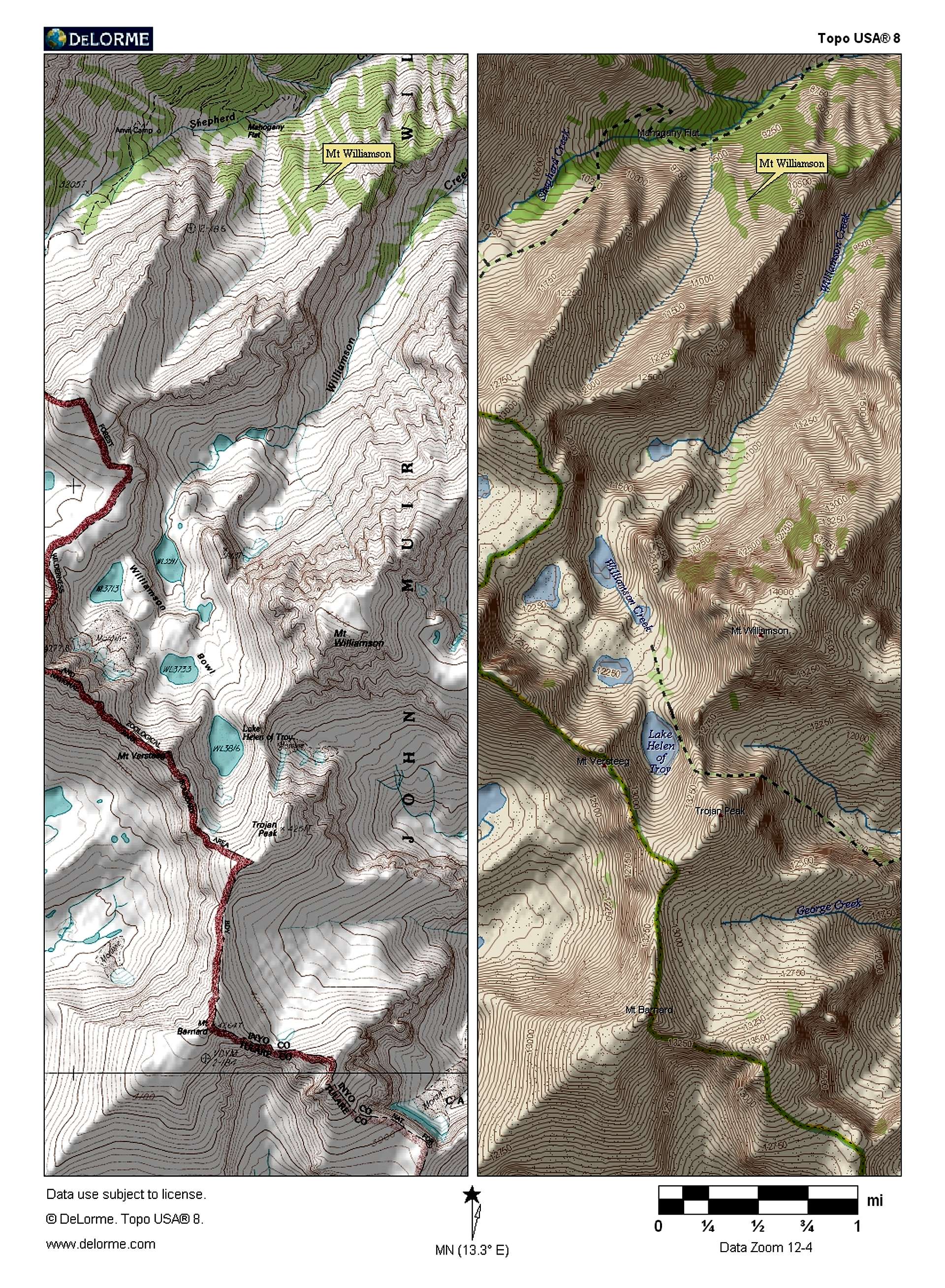
This pic shows the Topo 8 data and the downloaded USGS maps side-by-side, as presented in Topo 8. Just by using the maps, it would be difficult which chute to use to ascend to the summit.
NOTE: The mapnote on both of the maps is in the incorrect spot. Mt. Williamson is actually almost dead-center in the page. |
Image ID: 7201 Hits: 2567  Object Title: usgs and topo 8 data Object Title: usgs and topo 8 data |
