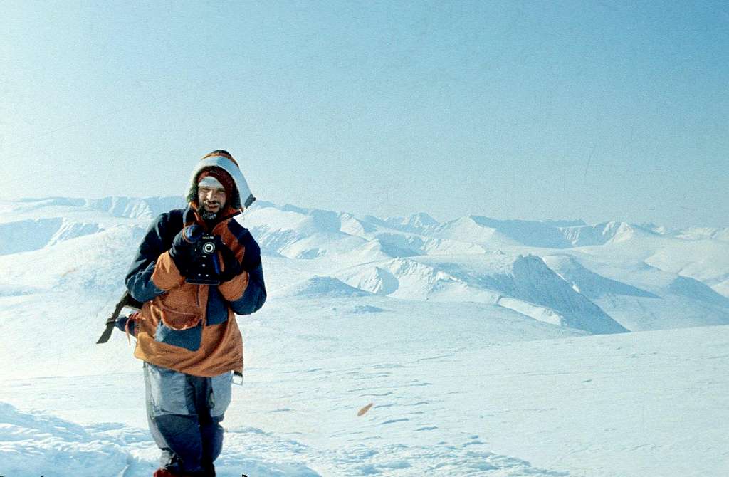
Peak 1344m and the high country of Us'va-Ty Passage, Arctic Ural
View South from Sputnik Plateau (1220 m).
In the foreground, the bowl of Moscow University Glacier curves to the left (that's the Urals' longest icefield, over a mile long), and the velley of Sputnik Creek curves right, before dropping out of sight into Us'va-Ty Gap, 3,000 ft below, beneath the shadows of cirque walls.
A very prominent horseshoe-shaped cirque dominates the right skyline. A high point on its right (SW) side is, according to the recent survey, the second-highest mountain of the entire Northern Arctic Ural. This unnamed Peak 1344, in the crest separating Us'va-Ty from Khadata Lakes, has never been recognized as an important summit before, althogh a minor valley to its West is commonly used for travel to Khadata (Neozhidanny Pass connects Neozhidanny Creek, a tributary of Little Usa, with Burny Creek of Khadata Basin).
Beyond the horseshoe cirque of Peak 1344 m rises a much better known Khar-Naurdy-Keu Peak (1246 m), the guardian of the Khadata Bend.
March 1989
