

JonBradford - Aug 27, 2004 7:22 pm - Hasn't voted
Re: Identificationattm,
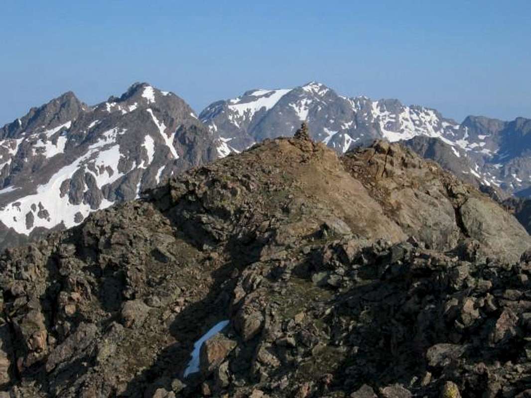
Thank you for the correction. I should have been able to identify Peak H by the Straight Arrow Coulior pointing towards its summit. The Gores are the most complicated mountains I have ever spent time in.
Cheers,
Jon

John Prater - Aug 28, 2004 3:20 pm - Hasn't voted
Re: IdentificationI think that was a month and 3 days after Jon took this photo, Barry. Late June might have been tougher than late July with more snow still lingering.
Jon, thanks for identifying H by the Straight Arrow (see Stan Wagon's photo here for a different perspective). I was wracking my brain trying to make sense of that view of the ridge line and couldn't positively identify H.
So, what is the summit (or twin summits) in the foreground? Obviously, if you're on top of West Partner, then Peaks P and J are on the ridge between you and H. I'm guessing the summit in the foreground is a zoomed-in-on Peak P.
FYI, Black BM and Peak H are different summits, although Black BM wasn't much of a summit at all.
John Prater - Aug 29, 2004 5:35 pm - Hasn't voted
Re: IdentificationIf you look at Stan Wagon's photo that I linked to above, Peak H and Peak G are the prominent summits. There is a flat ridge between the two. At the left end of this flat section of ridge, before it drops off toward H, is Black BM. Like I said, not really much of a summit.
Yes, we descended the south slopes of H and reached the Piney River about a half mile or so below Upper Piney Lake. We hiked out on various trails which were difficult to follow at times, particularly when the trail would disappear in a marshy meadow. You probably got to experience some of that on your hike out.
John Prater - Aug 29, 2004 10:23 pm - Hasn't voted
Re: IdentificationWe stayed on the east side of the Piney River. My understanding is that the trail is drawn inaccurately on the topo and doesn't really exist on the west side of the river, but don't take my word for it. I guess the trail wasn't really that difficult to follow, but we did manage to lose it briefly a couple of times.


Comments
Post a Comment