


How do you post a picture on the thread? We want to add a picture to our observation yesturday and if anyone who knows how it would really help out.


PellucidWombat wrote:For you backcountry snow travelers, here's a sample hazard map from a series that I'm thinking of making. Let me know what you think! Of course I know the map has scale limitations, but it seems like it could be a useful tool nonetheless . . .
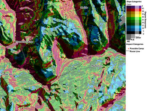
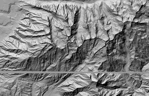
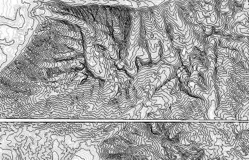
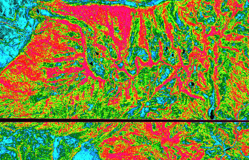
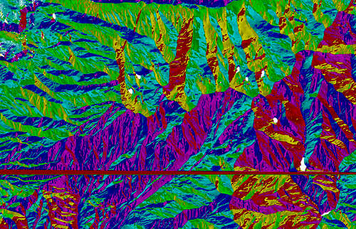
Avalanche Slope Hazard Map 1 - Alpine Ridge
For you backcountry snow travelers, here's a sample hazard map from a series that I'm thinking of making. Let me know what you think! Of course I know the map has scale limitations, but it seems like it could be a useful tool nonetheless . . .


sisyphus wrote:For you backcountry snow travelers, here's a sample hazard map from a series that I'm thinking of making. Let me know what you think! Of course I know the map has scale limitations, but it seems like it could be a useful tool nonetheless . . .
Wow, neat stuff. What software are you using to create that? For touring, I use a Topo! map that I created that has ascent skintrack routes, skiing routes, sites of old avalanches, etc. on it, so I think all that plus your color code would make my map unreadable. However, I still think these maps are great for research and for a better visual interpretation of the slope angles. I'd love to see more.
 The 2nd picture is of the blown in crown on the roll over (west facing) avalanche


Users browsing this forum: No registered users and 0 guests