lcarreau wrote:

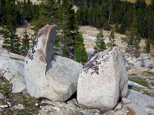
I bet I could trundle the one on the right.

lcarreau wrote:


Sierra Ledge Rat wrote:
I bet I could trundle the one on the right.

Baarb wrote: Also doesn't look like a piece of cake to get up and down there.


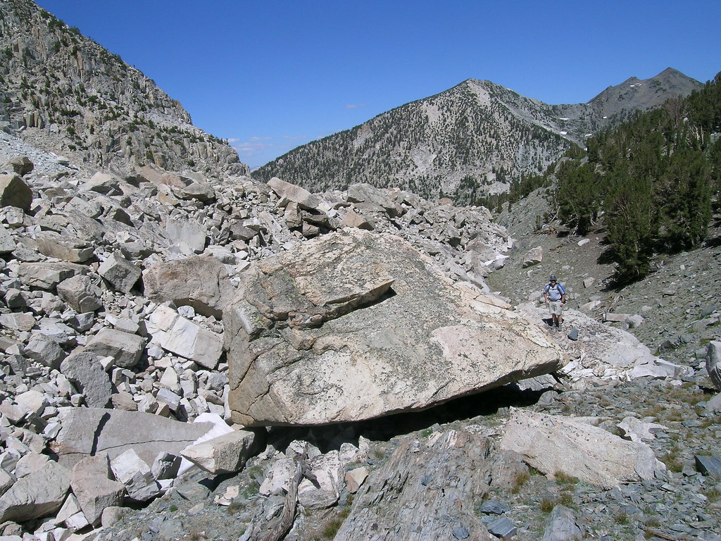
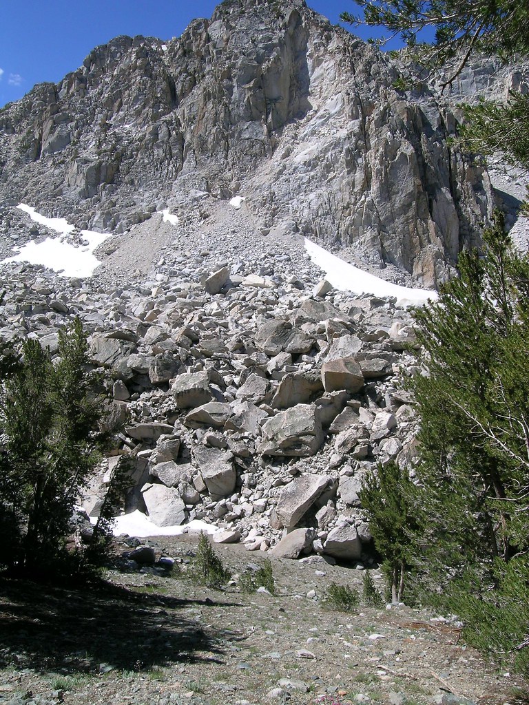


hightinerary wrote: I learned years ago that contour maps can be misleading; the steepness of a slope is just one factor in determining the degree of difficulty of a route. The specific nature of the terrain surface is important as well.
hightinerary wrote:I learned years ago that contour maps can be misleading; the steepness of a slope is just one factor in determining the degree of difficulty of a route. The specific nature of the terrain surface is important as well.


Users browsing this forum: No registered users and 0 guests