Toggle navigation
Mountains
Routes
Images
Trip Reports
Forum
What's New
People
Areas & Ranges
Articles
Trailheads
Canyons
Huts & Campgrounds
Albums
Logistical Centers
Fact Sheets
Lists
Custom Objects
Gear
Plans & Partners
WELCOME TO SUMMITPOST
SIGN IN
REGISTER
Exploring Northern Vancouver Island: Pinder Peak
Additional Parents
Image
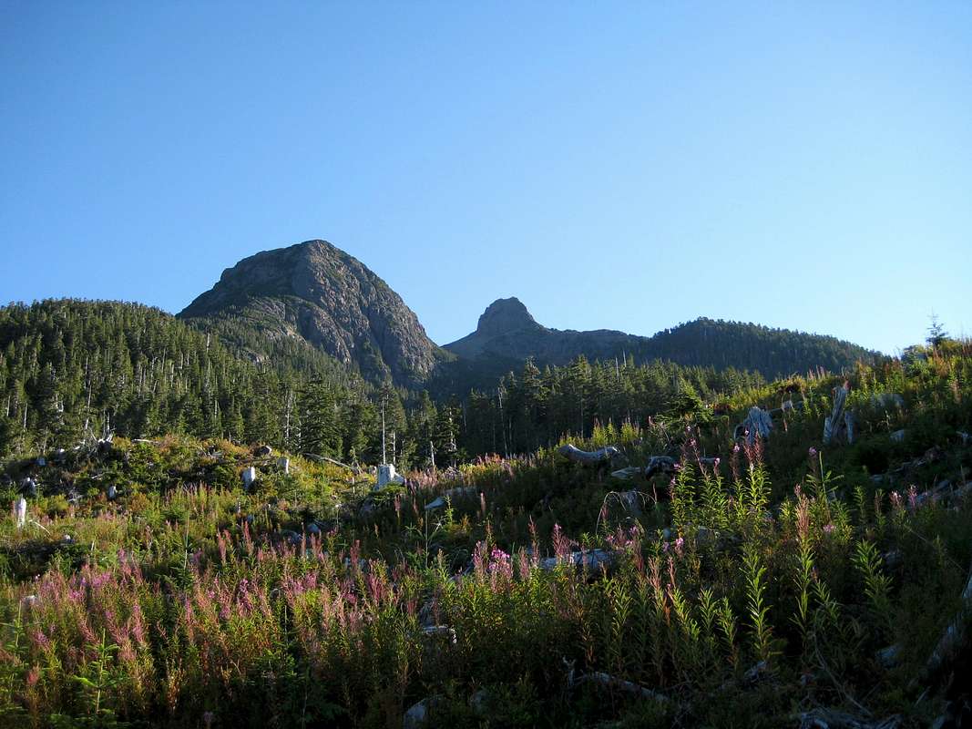
Pinder Peak and The Horn
View High-Resolution Image
Pinder Peak and The Horn
Close to the end of the approach spur. The SW flanks of Pinder on the left and its satellite, "The Horn" on the right.
« PREV
NEXT »
vancouver islander
on
Oct 2, 2007 12:03 am
Comments & voting
Other parents
Lat/Lon:
50.19500°N / 126.93°W
Image ID:
343041
1732 Hits
72.08
% Score
2
Votes
Log in to vote
Comments
No comments posted yet.
to post!
Don't have an account?
Exploring Northern Vancouver Island: Pinder Peak
(Trip Report)
« PREV
Viewing
#3 of 17
GALLERY
NEXT »
vancouver islander's Image Gallery
« PREV
Viewing
#1205 of 1858
GALLERY
NEXT »
×
You need to login in order to vote!
User Name
Password
Remember me
Forgot your password?
Log me out when I close my browser.
Keep me logged in all the time.
sign in as a user
Don't have an account?
Register now for FREE
Rating available
Suggested routes for you
People who climb the same things as you
Comments Available
Create Albums
Register Here


