Toggle navigation
Mountains
Routes
Images
Trip Reports
Forum
What's New
People
Areas & Ranges
Articles
Trailheads
Canyons
Huts & Campgrounds
Albums
Logistical Centers
Fact Sheets
Lists
Custom Objects
Gear
Plans & Partners
WELCOME TO SUMMITPOST
SIGN IN
REGISTER
Texel Group / Gruppo di Tessa
Additional Parents
Image
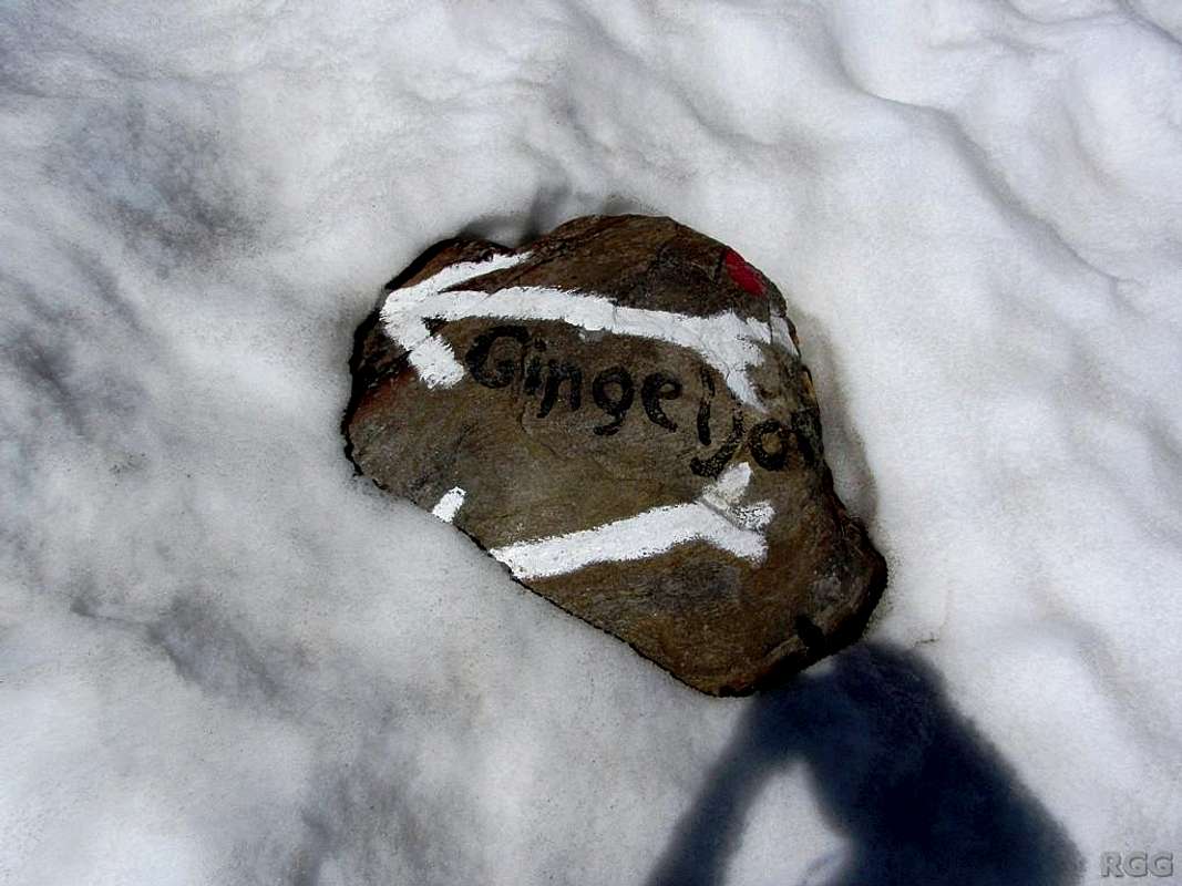
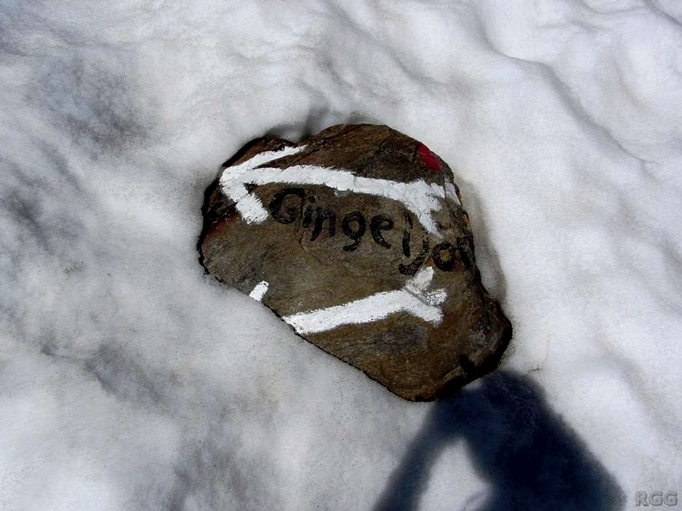
Route marker in the snow
View High-Resolution Image
Route marker in the snow
At the head of the Lafaistal. Even in these conditions, it's less than an hour to go to the Ginggljoch, the saddle at the end of the valley. 16 July 2013.
« PREV
NEXT »
rgg
on
Nov 4, 2013 2:04 pm
Comments & voting
Other parents
Lat/Lon:
46.70719°N / 10.99207°E
Image Type(s):
Hiking
,
Informational
Image ID:
874751
637 Hits
0
% Score
0
Votes
Log in to vote
Comments
No comments posted yet.
to post!
Don't have an account?
Texel Group / Gruppo di Tessa
(Area/Range)
« PREV
Viewing
#399 of 434
GALLERY
NEXT »
rgg's Image Gallery
« PREV
Viewing
#8504 of 8665
GALLERY
NEXT »
Gfallwand / Croda del Tovale
(Mountain/Rock)
Loading....
×
You need to login in order to vote!
User Name
Password
Remember me
Forgot your password?
Log me out when I close my browser.
Keep me logged in all the time.
sign in as a user
Don't have an account?
Register now for FREE
Rating available
Suggested routes for you
People who climb the same things as you
Comments Available
Create Albums
Register Here


