
-
 7573 Hits
-
 71.06% Score
-
 1 Votes
|
|
Route |
|---|---|
|
|
41.02000°N / 9.47000°E |
|
|
Hike |
|
|
Half a day |
|
|
Walk-Up |
|
|
Approach
From Olbia get on SS125 north and follow it until the village of Santa Lucia where you turn northwest on SP73. This will lead you eventually to the village of San Pantaleo. The road turns right in the center of the village - in this curve take the street turning off to the left and park your car there. Follow the street, which leaves the village after a short time and turns into a private road.
Route Description
Altitude gain: 450m
Duration: 3h one way
Difficulty: Hike
Trailhead: San Pantaleo
The private road going out southwest out of San Pantaleo soon turns into a forrest gravel road. Follow it through to its end at a cottage. Here DON'T FOLLOW THE BLUE MARKS - they will lead you over an overgrown trail around Punta Pelchia Manna back to San Pantaleo. Nice views there but you'll bruise your arms and legs in the thorny Macchia.
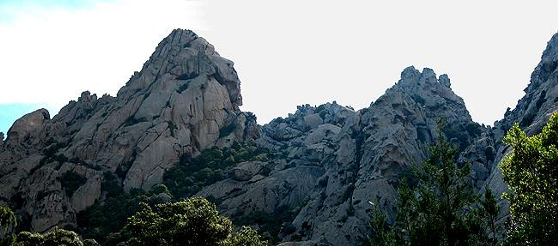
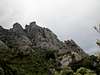
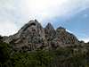
Instead head further southwest on a footpath which can (at least at first) be clearly distiguished. It leads through an old oak forrest and large bushes up a creek bed, finally topping out on a plateau on which you get your first closeup impression of Punta Cugnana. Turn east into the forrest again, later south and you end up at a rock that clearly resembles swiss cheese (see the big picture on the main page, Tafoni section).
Here don't be fooled by little cairns which again seem to indicate the proper trail. Rather look for red marks on the stones. The real trail turns west down to a creekbed, which is crossed. In the end you'll be led to another (ruined) cottage from which you have a great overview of the whole mounitain range.
 |  |  |  |
Essential Gear
Hiking gear with long pants. The last part of the trail is overgrown. You need to struggle with the machia bushes, a fight you will win, but not without some bruises.