Santiago and Modjeska Peak - Google Earth Part 5

Santiago and Modjeska Peak - Google Earth Part 5

Google Earth rendition of the use trail at the north side of Santiago Peak (to the left) descending to the fire road and the use trail leading up to Modjeska Peak.
SoCalHiker
on Apr 3, 2009 10:15 pm
Image Type(s): Topo/Diagram
Image ID: 503628

Comments

Post a Comment
Viewing: 1-1 of 1

mrichard - Jun 9, 2010 3:57 am - Hasn't voted
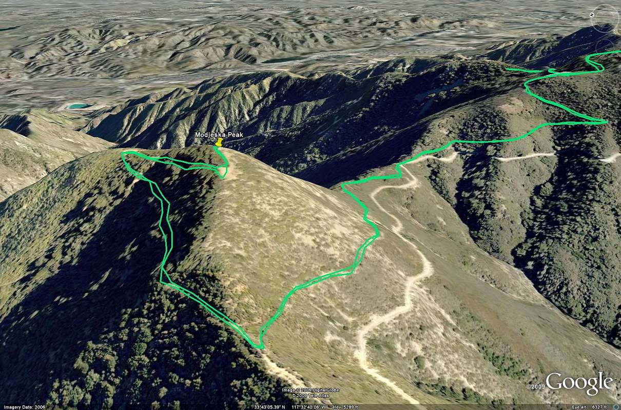
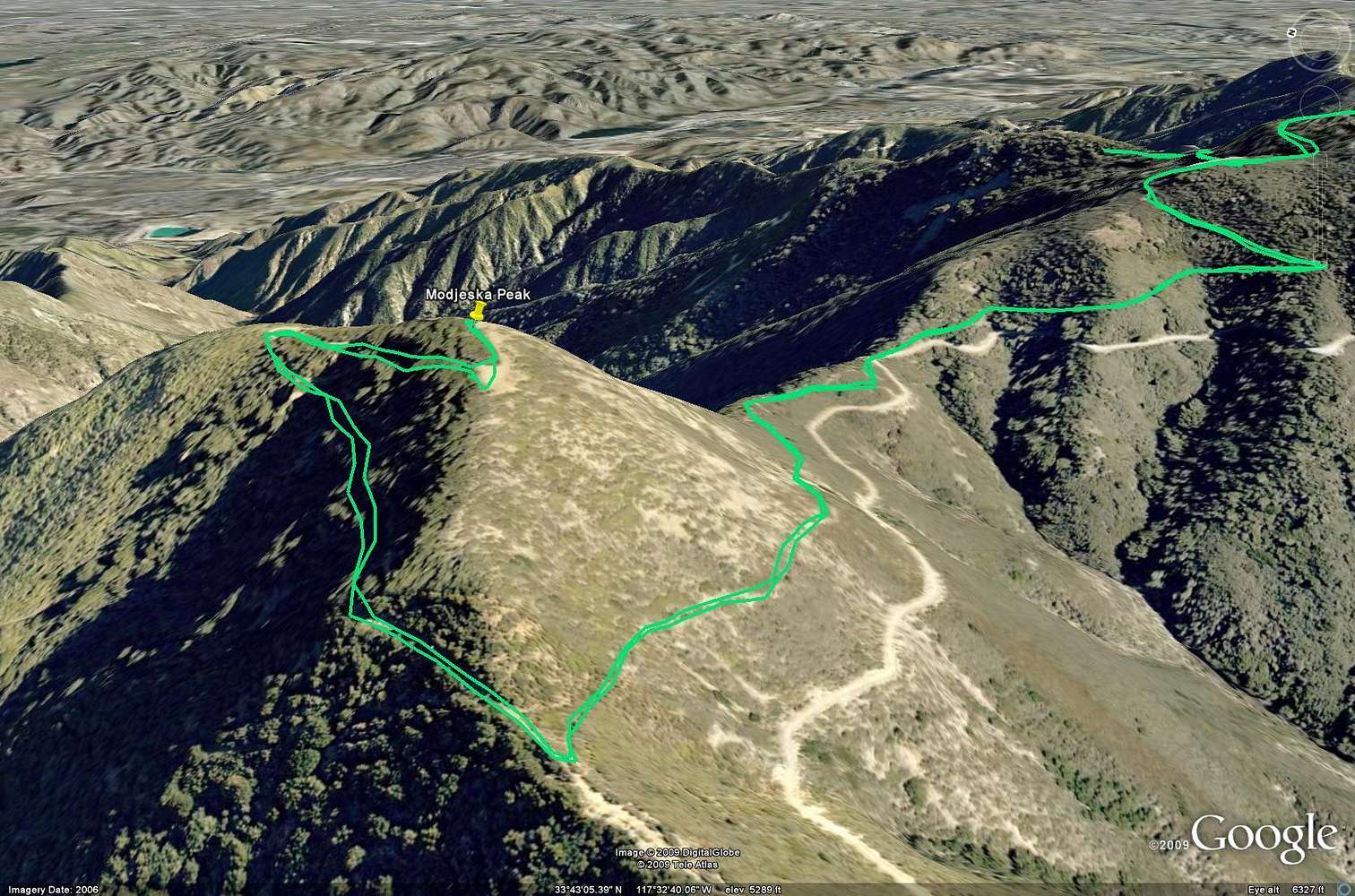
Modjeska peak hike

first time hiking - going up and back 8 hours. Love looking the beautiful sceneries. Will be back hiking sooner.

Viewing: 1-1 of 1