
-
 3108 Hits
-
 73.06% Score
-
 3 Votes
|
|
Route |
|---|---|
|
|
46.70220°N / 12.19482°E |
|
|
Hiking, Skiing |
|
|
Spring, Summer, Fall, Winter |
|
|
Half a day |
|
|
Hike |
|
|
Overview
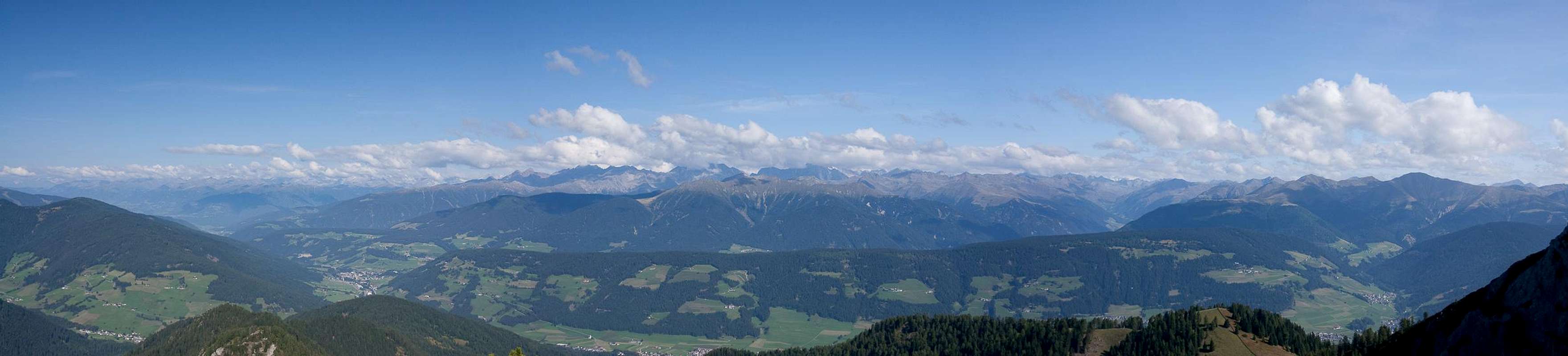
 Descending the Sarlkofel south slopes Descending the Sarlkofel south slopes |
Of the two routes which lead to the Sarlkofel / Lungkofel duo, the one across the Sarlriedel saddle and pasture is the longer, but more scenic one. Like the Buchsenriedel Route it starts on the steep slopes to the west of the mountains and follows a dirt road for quite some time. Afterwards a steep hike takes you to the Sarlriedel Saddle, from where a scenic slope traverse leads to Sarlsattel, the saddle between the two mountains. The remainder of the route cuts across the south slopes of Sarlkofel on more or less exposed paths.
Getting There
  |
The starting point is Bad Altprags / Bagni di Braies to the south of Pustertal Valley / Val Pusteria. You can reach it by a short southward dash from Toblach / Dobiaco.
Route Description
 Dürrenstein / Picco di Vallandro as seen across the Sarlriedel Pasture
- Start altitude: 1379m
- Summit altitude: 2380m
- Prevailing exposure: West, later south
- Type: Steep hike, exposed in the upper section
- Protection: Several short (5m) cables in the upper section
From the end of the road in Bad Altprags / Bagni di Braies cross the meadow across the ski-slopes (ski lift), heading for the spot, where on the far side of the meadow a dirt road enters the forest in south-easterly direction. The hiking path cuts short the long switchbacks of the road but you might as well stay on it until the path joins again after a very long and sweeping left curve.
Here leave the road to the left onto the hiking path, which now very steeply climbs through the forest towards the Sarlriedel Saddle. There wonderful views towards Lungkofel / Monte Lungo and Dürrenstein / Picco di Vallandro await you. Turn right onto the path to Sarlsattel, which basically stays at the same elevation and heads for the saddle in a wide leftwards bend.
 Sexten / Sesto Dolomites during the final ascent to Sarlkofel
Sarlkofel / Monte Serla
In the saddle turn right (following the signs to Sarlkofel. The trail soon leaves the saddle and heads through the south-west face of the westernmost summit of the mountain. Here a few cable protections guide you to the Sarlkofel south slopes (more protection). The trail heads for a saddle between the western and central summit, then passes the latter to the south to finally head up to it from the south-east.
Lungkofel / Monte Lungo
In the saddle, turn left and follow the ridge for a while. The path heads down into a dell, where the Lungkofel ascent route turns off to the left. The path is not marked but obvious and takes you steeply up to the summit.