
Comments
No comments posted yet.
|
|
Trip Report |
|---|---|
|
|
45.52855°N / 116.49902°W |
|
|
Download GPX » View Route on Map |
|
|
Jul 4, 2021 |
|
|
Hiking |
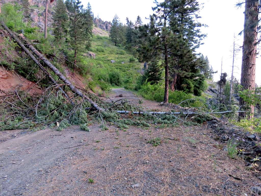
The 5073 ft high Saw Pit Viewpoint sits on the eastern rim of Hells Canyon and rises 3860 ft above the bottom of the canyon where Snake River runs. From the town of Riggins, Idaho, a number of dirt roads can be followed up the mountains to reach a 4950 ft saddle known as Saw Pit Saddle just below the viewpoint. I had originally planned to drive to a spot near the saddle and then do a 10.5 miles loop hike going to Stormy Point and Saw Pit Viewpoint. On the day of my hike, a fallen tree had blocked the road 3.2 miles before where I had intended to start my hike so I ended up doing an 11.1 mile hike on the road to Saw Pit View Point and back. The road itself turned out to provide me with good views.
Hike Length: 11.1 miles
Total Ascent: 1500 ft
Maximum Elevation: 5660 ft
Minimum Elevation: 4950 ft
Left the vacation rental house one mile north of Riggins, Idaho at 5:10 AM (sunrise 6:10 AM). It was 73 degrees F and afternoon high temperature was supposed to reach 104 degrees. I knew it would be cooler up in the mountains but was still worried about the heat. Drove 7 miles north on Route 95 to the community of Lucille and crossed Salmon River over a one lane bridge.
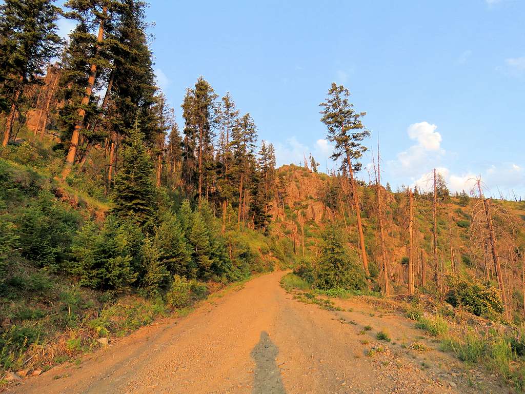
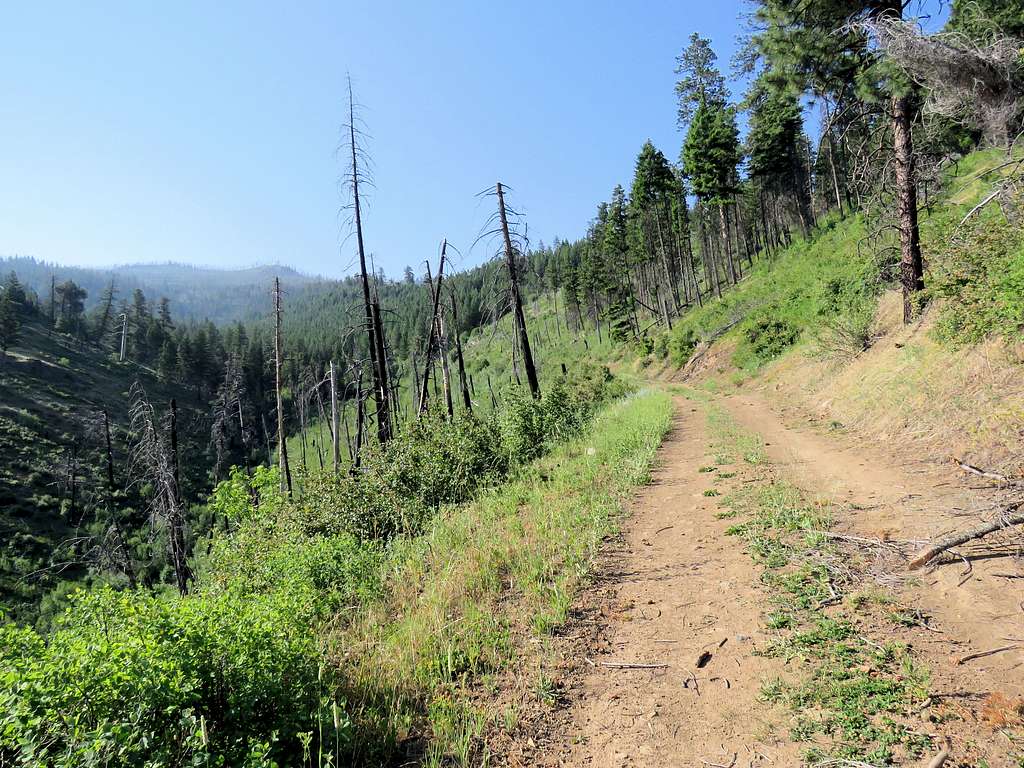
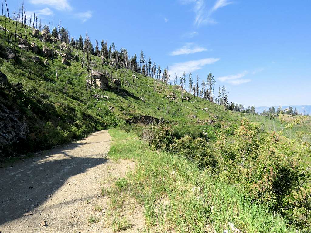
Got on Forest Road 242 which was not paved and in places was steep and narrow but its surface was fairly smooth. In 7 miles, the road went from an elevation of 1600 ft to a place called Cow Creek Saddle 5250 ft high taking me from barren slopes to a forest of tall pine trees. Went a mile south to Iron Phone Junction and then got on Road 2060 which was a little rougher but still not bad. I had planned to drive 7 miles on that road to reach the junction with the spur road to Sawpit Saddle where I had planned to start my hike. After less than 4 miles of driving, I reached a fallen tree that had blocked the road. I had a rental Jeep Wrangler and considered driving over the tree but thought that breaking down the Jeep meant a 20 mile hike in 100 degree temperature to the garage in Riggins where they may or may not be able to help me so I decided to start my hike there. That meant that reaching Stormy Point and back had become an 18 mile hike so I decided to walk the road to Sawpit Saddle and back.
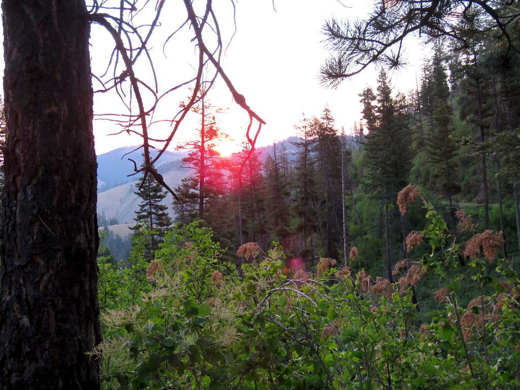
Started my hike at 6:20 AM. Elevation was 5080 ft and it was 68 degrees F. I could see the sun rising from behind a ridge to the northeast.
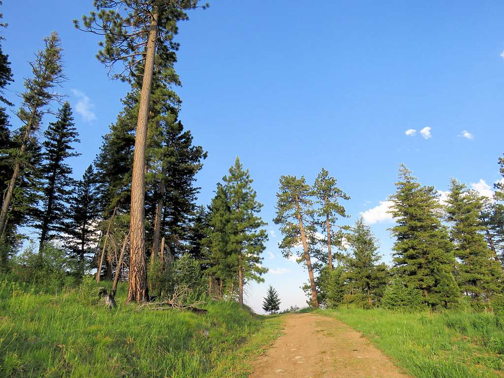
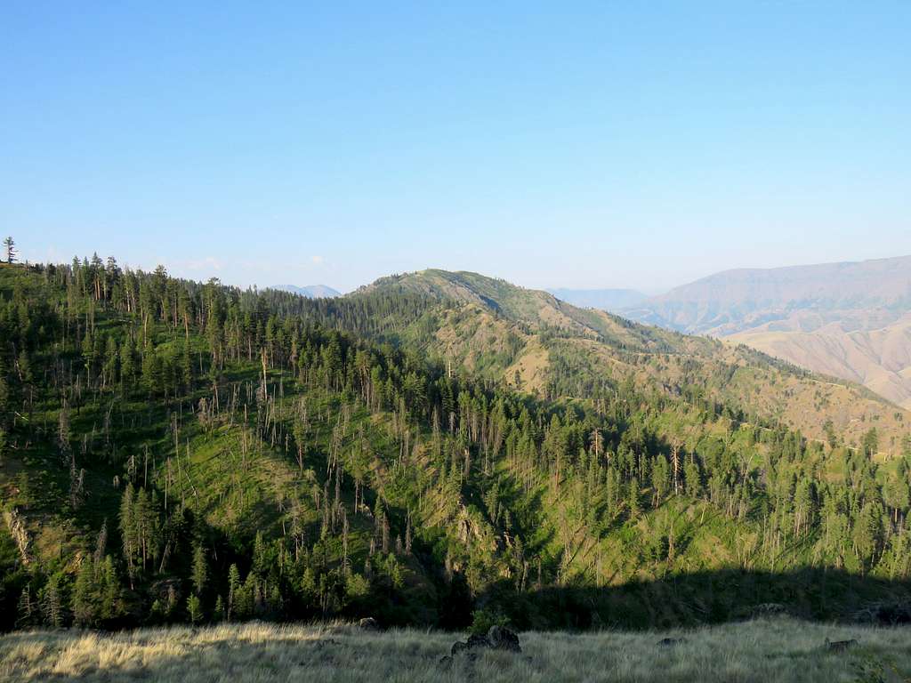
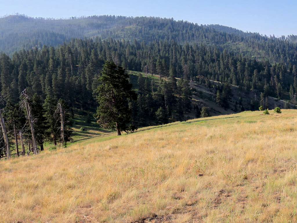
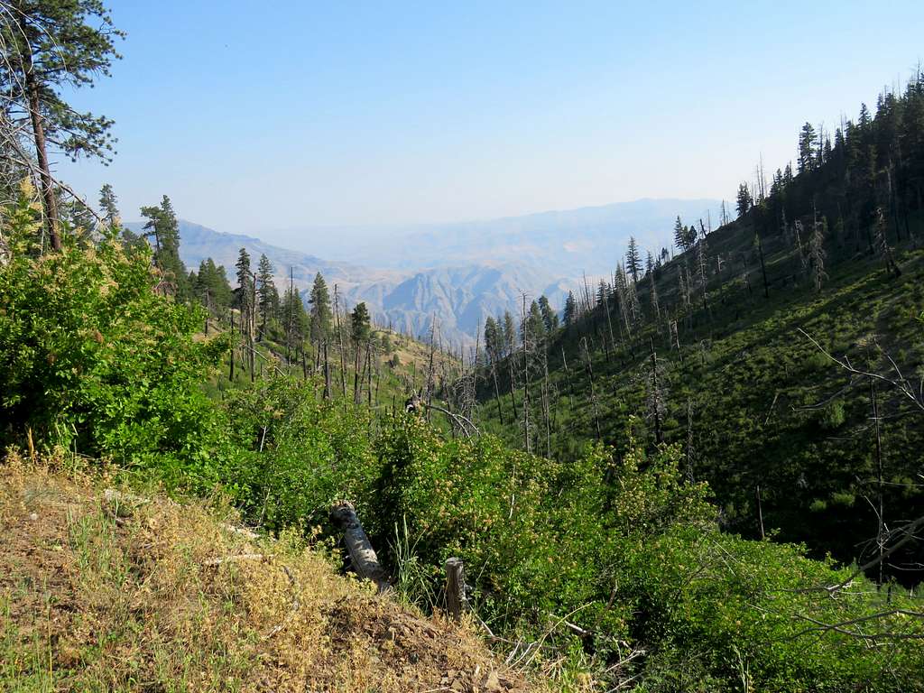
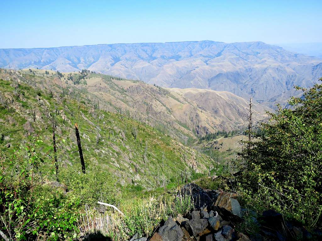
Being the 4th of July weekend, I expected the roads to get flooded with an annoying army of loud ATVs and motorcycles later in the day but to my pleasant surprise, I did not see any other people or vehicles even at the end of the day when I was driving back to the house. Began to hike the road which went up to a maximum elevation of 5660 ft while having good views of the western walls of Hells Canyon without seeing its bottom.
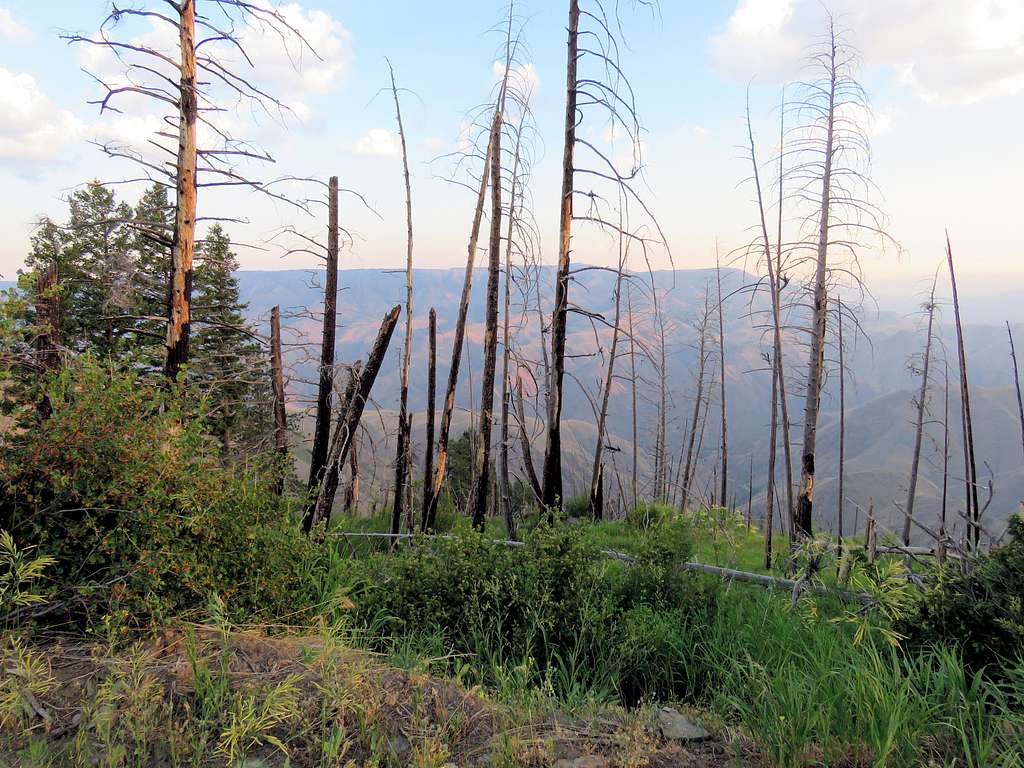
An area of pretty trees.
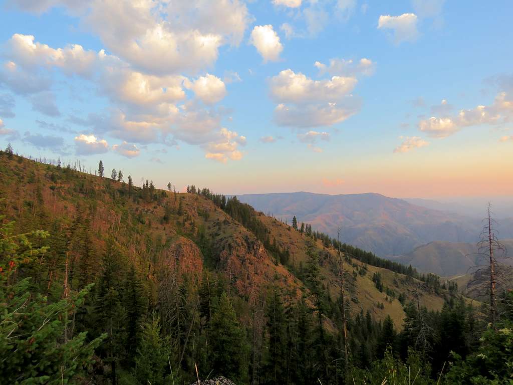
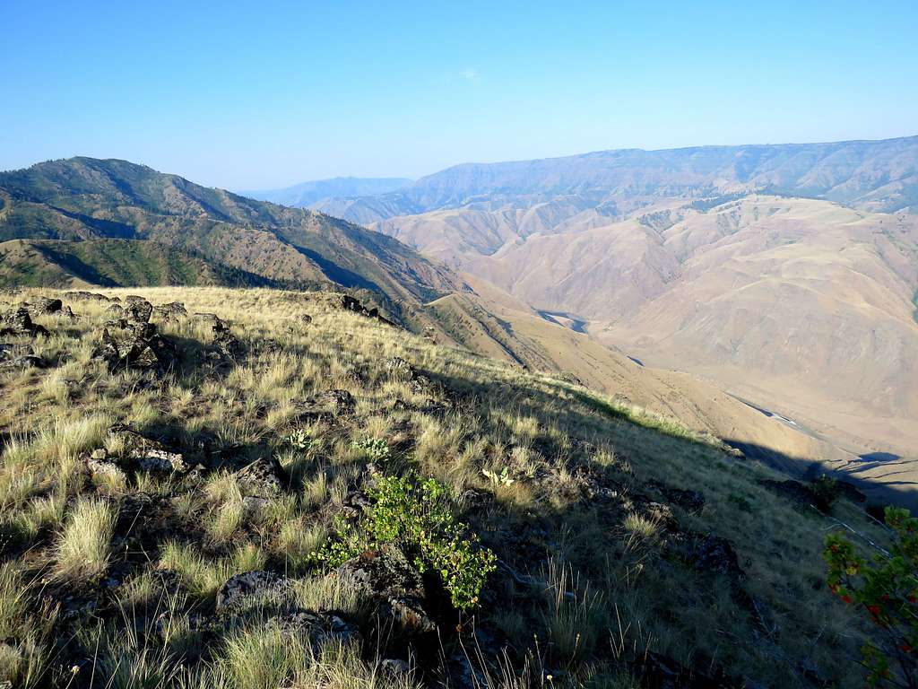
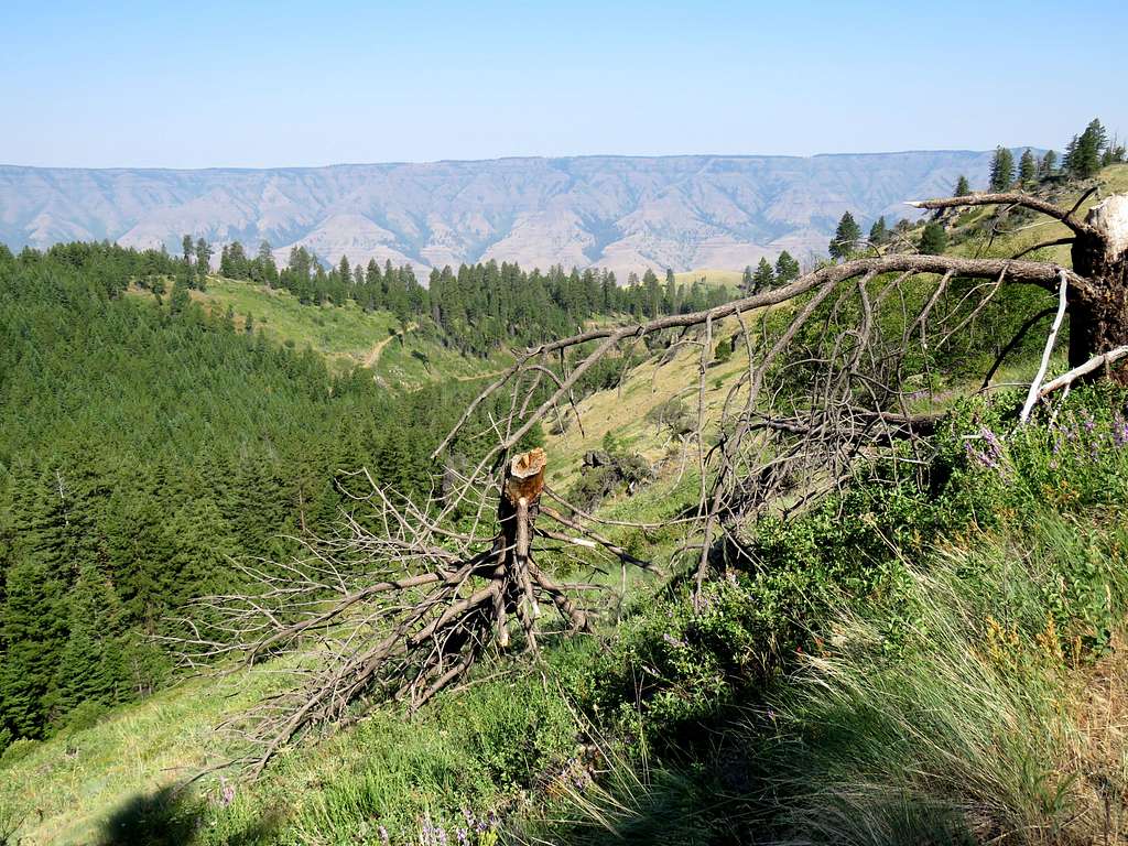
Stormy Point appeared to the south.
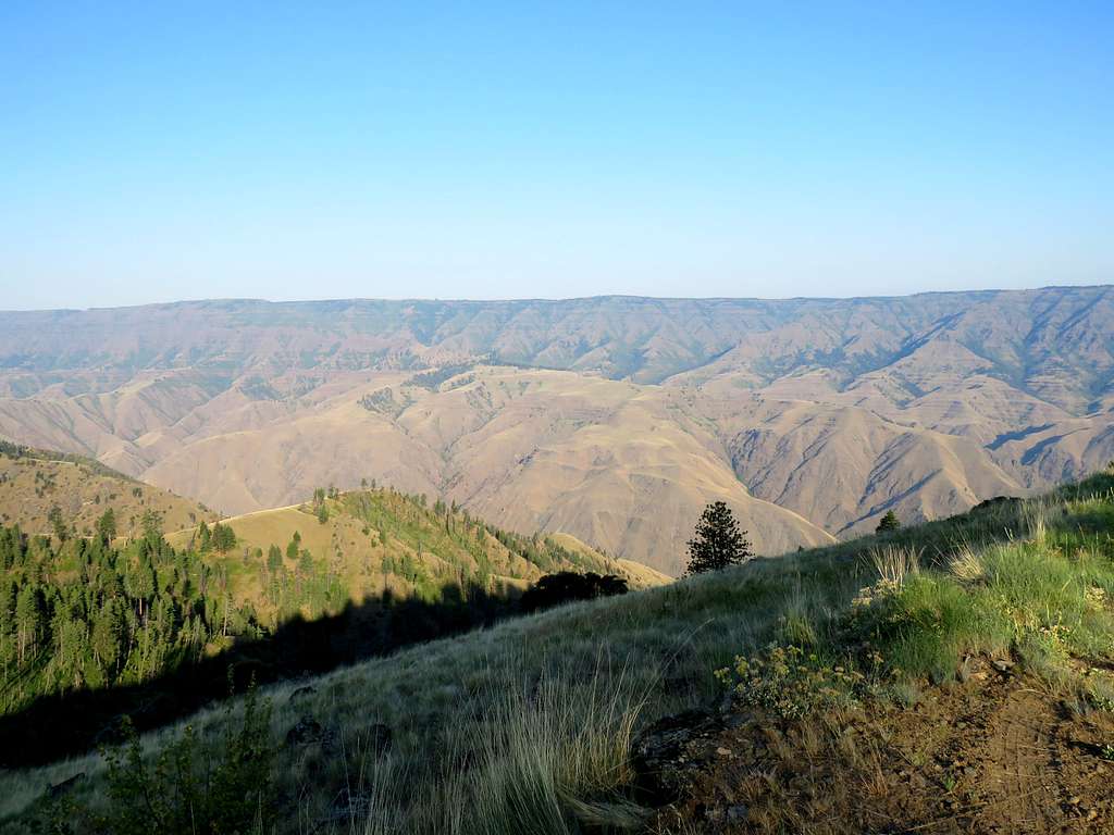
At 7:36 AM, 3.2 miles of hiking and 5640 ft elevation, I reached the junction of the spur road to Sawpit Saddle where I had originally planned to start my hike. Got on the spur road that went downhill first in the forest and then in a more open area.
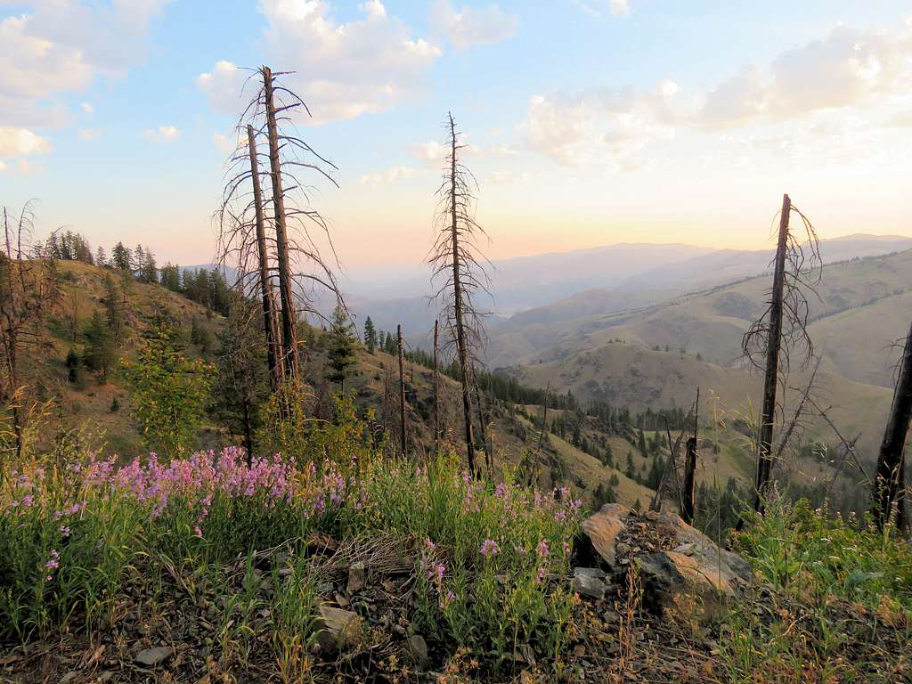
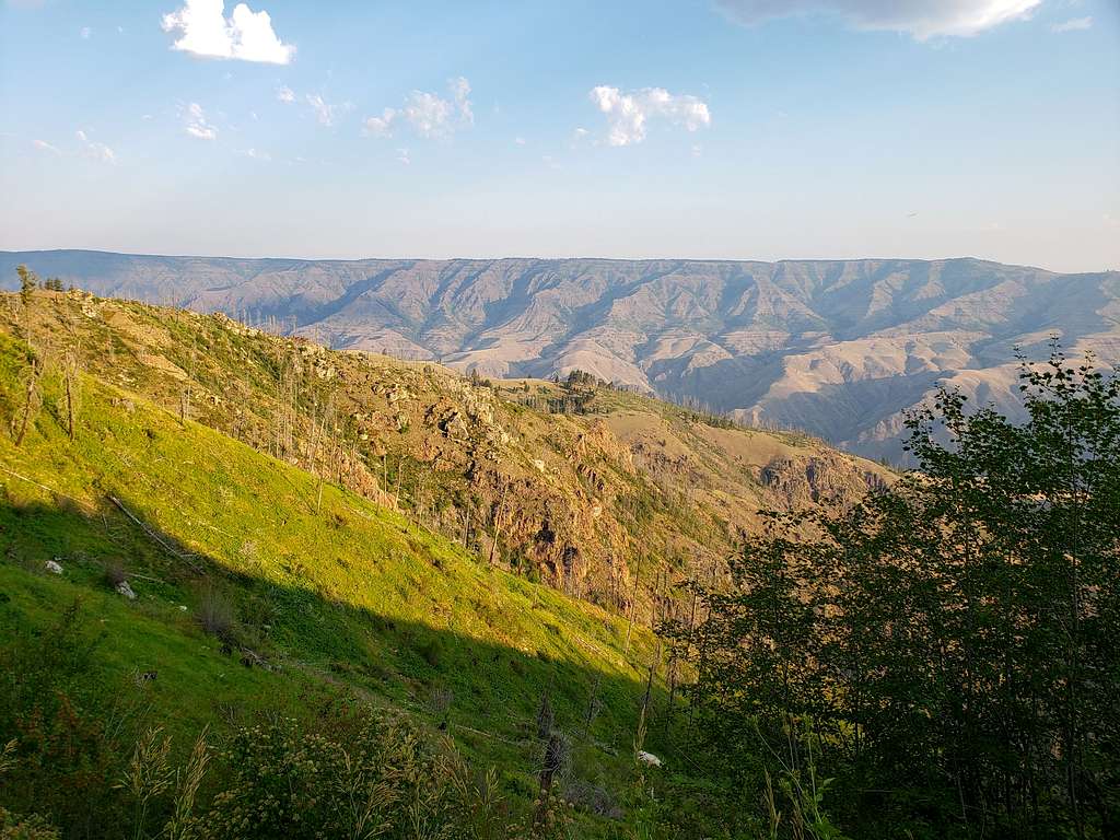
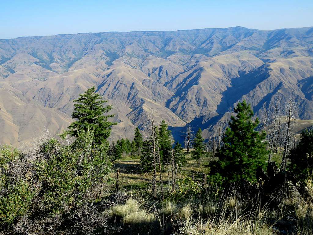
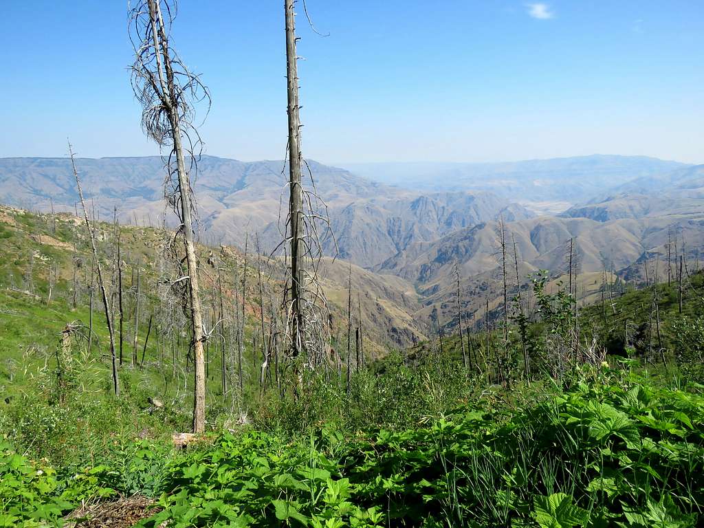
Arrived at the 4950 ft Sawpit Saddle and then went up a grassy slope to reach the 5073 ft Sawpit View Point at 8:30 AM and 5.59 miles of hiking. Got great views of Hells Canyon and glimpses of Snake River 3860 ft below. Sat in a place to eat and enjoy the views.
Looking south at Stormy Point.
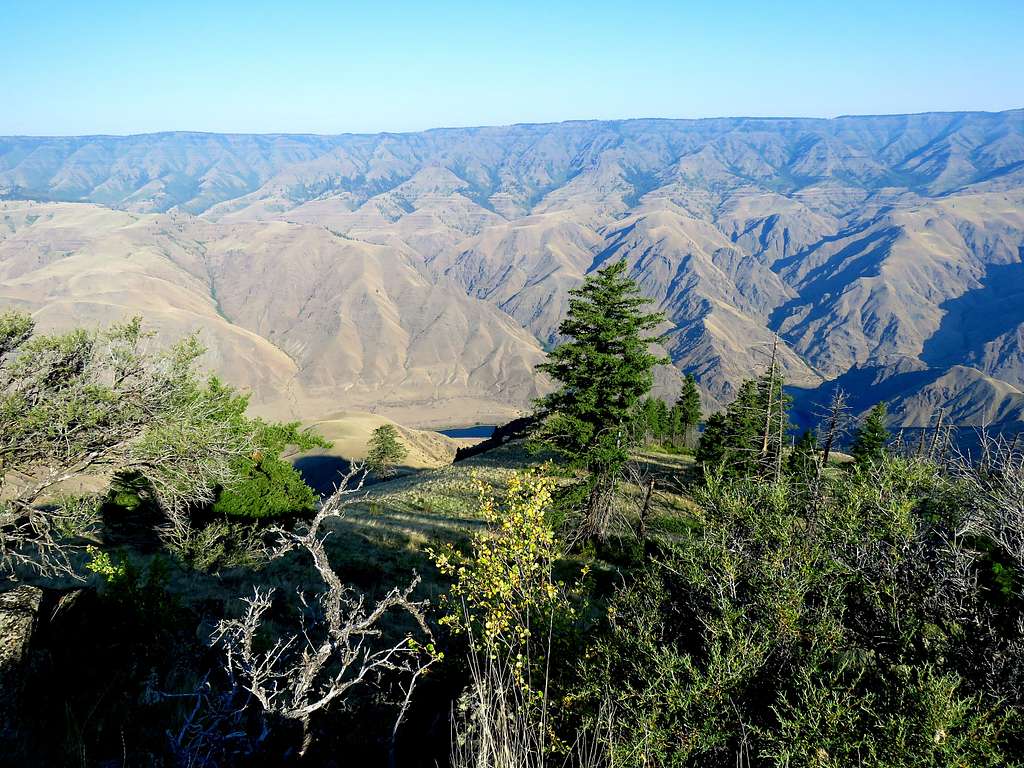
Looking west.
Looking north/northwest.
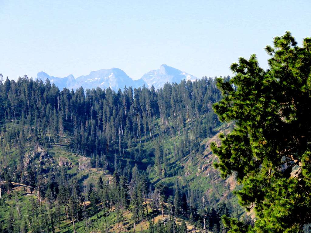
Zoomed view of She Devil and He Devil 14 miles to the south.
The sun was starting to feel hot. I was concerned about walking back up under the intense sun so put on a cooling towel and left at 9:00 AM going down the grassy hill to Sawpit Saddle.
Got on the spur road and began to hike back up. The cooling towel seemed to be helpful.
Reached the main road at 10:01 AM and 7.94 miles. Was then hiking back to the Jeep.
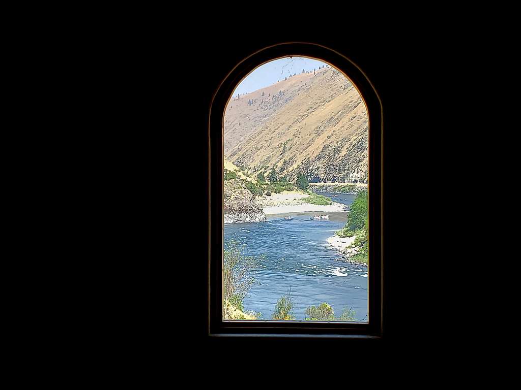
Was back at the Jeep by 11:21 AM and 11.10 miles when it was 78 degrees F. Drove back to the house. View of Salmon River from my window.
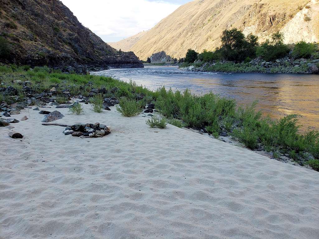
Around 7 PM, Mary and I walked to the “private beach” by Salmon River. It was 102 degrees F.