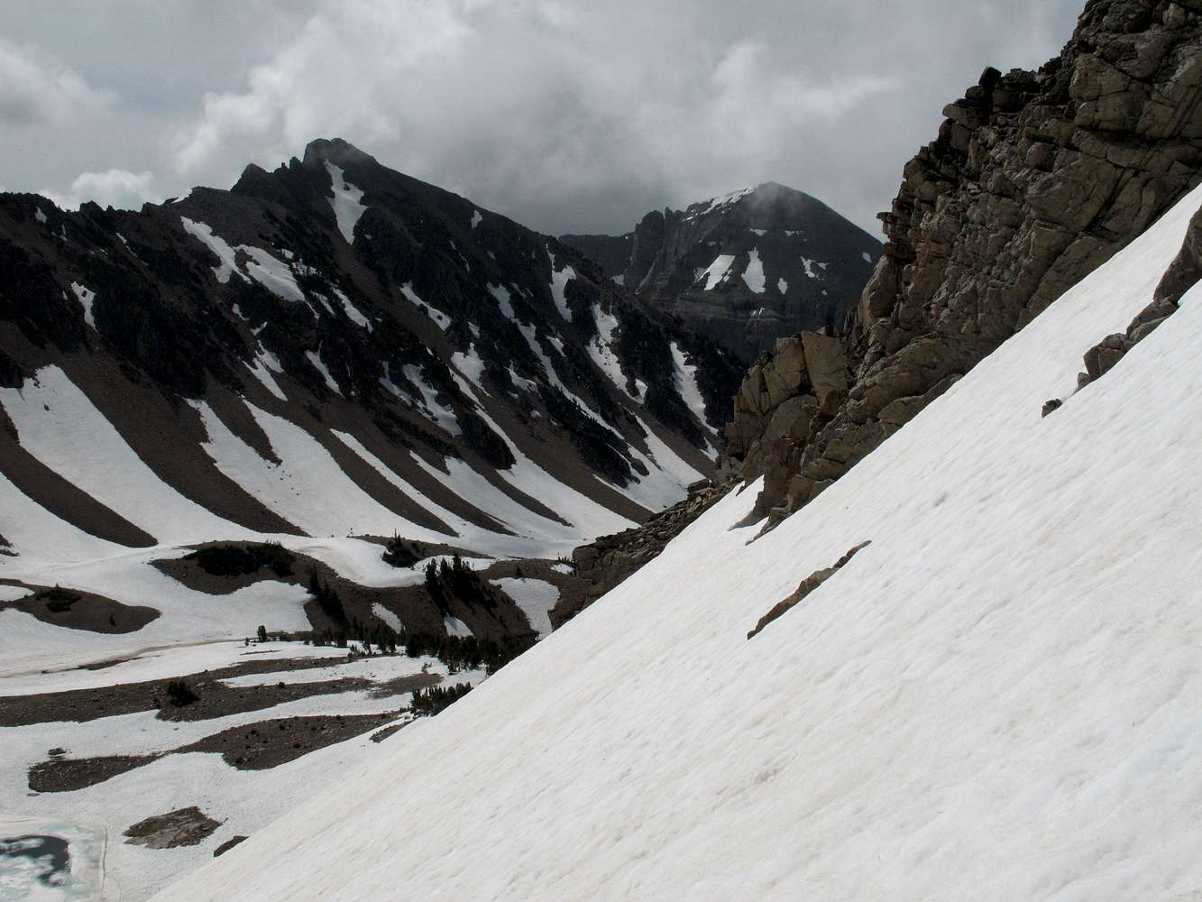
Shoal Peak (unofficial name), with its challenging-looking north face, is on the right. The peak on the left has no official or unofficial name that I know of, but it is between Corner Peak and Shoal Peak, and all three are connected by a ridge system. A small bit of still-frozen Mac Leod Lake is visible below.
This picture is from the climb up the snow slopes of Mac Leod Peak and is intended to give an idea of the steepness of the climb.
Gros Ventre Range, WY-- 2009


