Toggle navigation
Mountains
Routes
Images
Trip Reports
Forum
What's New
People
Areas & Ranges
Articles
Trailheads
Canyons
Huts & Campgrounds
Albums
Logistical Centers
Fact Sheets
Lists
Custom Objects
Gear
Plans & Partners
WELCOME TO SUMMITPOST
SIGN IN
REGISTER
Saint Marys Pass
Additional Parents
Image
The path from St Marys...
View High-Resolution Image
The path from St Marys...
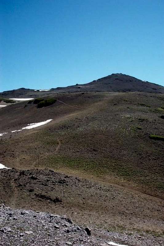
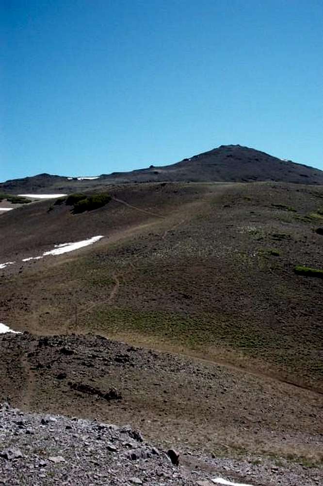
The path from St Marys Pass(lower left) up to Sonora Peak strait ahead.
« PREV
NEXT »
thebeave7
on
Jul 2, 2003 2:43 pm
Comments & voting
Other parents
Lat/Lon:
38.35380°N / 119.6355°W
Image ID:
22441
4906 Hits
74.49
% Score
5
Votes
Log in to vote
Comments
No comments posted yet.
to post!
Don't have an account?
Saint Marys Pass
(Route)
« PREV
Viewing
#5 of 19
GALLERY
NEXT »
thebeave7's Image Gallery
« PREV
Viewing
#126 of 376
GALLERY
NEXT »
Sonora Peak
(Mountain/Rock)
Loading....
Saint Mary's Pass Trailhead
(Trailhead)
Loading....
×
You need to login in order to vote!
User Name
Password
Remember me
Forgot your password?
Log me out when I close my browser.
Keep me logged in all the time.
sign in as a user
Don't have an account?
Register now for FREE
Rating available
Suggested routes for you
People who climb the same things as you
Comments Available
Create Albums
Register Here


