Toggle navigation
Mountains
Routes
Images
Trip Reports
Forum
What's New
People
Areas & Ranges
Articles
Trailheads
Canyons
Huts & Campgrounds
Albums
Logistical Centers
Fact Sheets
Lists
Custom Objects
Gear
Plans & Partners
WELCOME TO SUMMITPOST
SIGN IN
REGISTER
Castle Rock (Idaho)
Additional Parents
Image
The red line drawn on the...
View High-Resolution Image
The red line drawn on the...
The red line drawn on the photo is the lower section of the west face route. Where the line terminates is where
Option One
and
Option Two
are located.
« PREV
NEXT »
IdahoKid
on
Aug 29, 2005 6:24 pm
Comments & voting
Other parents
Lat/Lon:
43.91600°N / 113.9914°W
Image ID:
123212
2176 Hits
70.45
% Score
6
Votes
Log in to vote
Comments
Post a Comment
Viewing: 1-1 of 1
Scott
-
Aug 29, 2005 7:27 pm - Voted 10/10
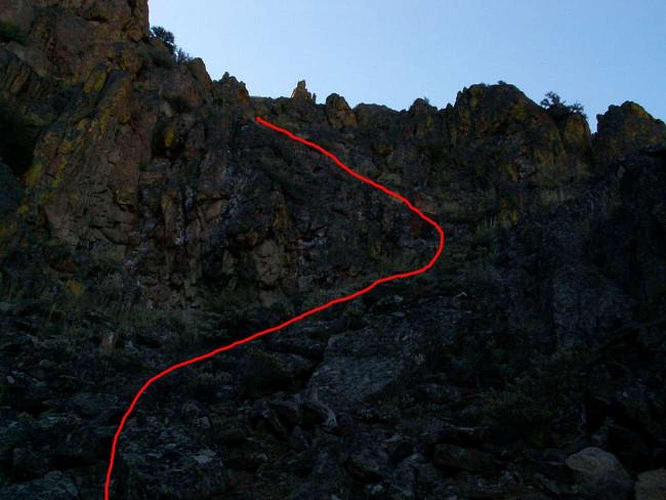
Photo
I don't think it is 0-stars. If anything it gives an idea of the grade/steepness of the route
Viewing: 1-1 of 1
to post!
Don't have an account?
Castle Rock (Idaho)
(Mountain/Rock)
« PREV
Viewing
#11 of 11
GALLERY
You are at
the Last
Image
IdahoKid's Image Gallery
« PREV
Viewing
#757 of 782
GALLERY
NEXT »
West Face
(Route)
Loading....
×
You need to login in order to vote!
User Name
Password
Remember me
Forgot your password?
Log me out when I close my browser.
Keep me logged in all the time.
sign in as a user
Don't have an account?
Register now for FREE
Rating available
Suggested routes for you
People who climb the same things as you
Comments Available
Create Albums
Register Here
Comments
Post a Comment