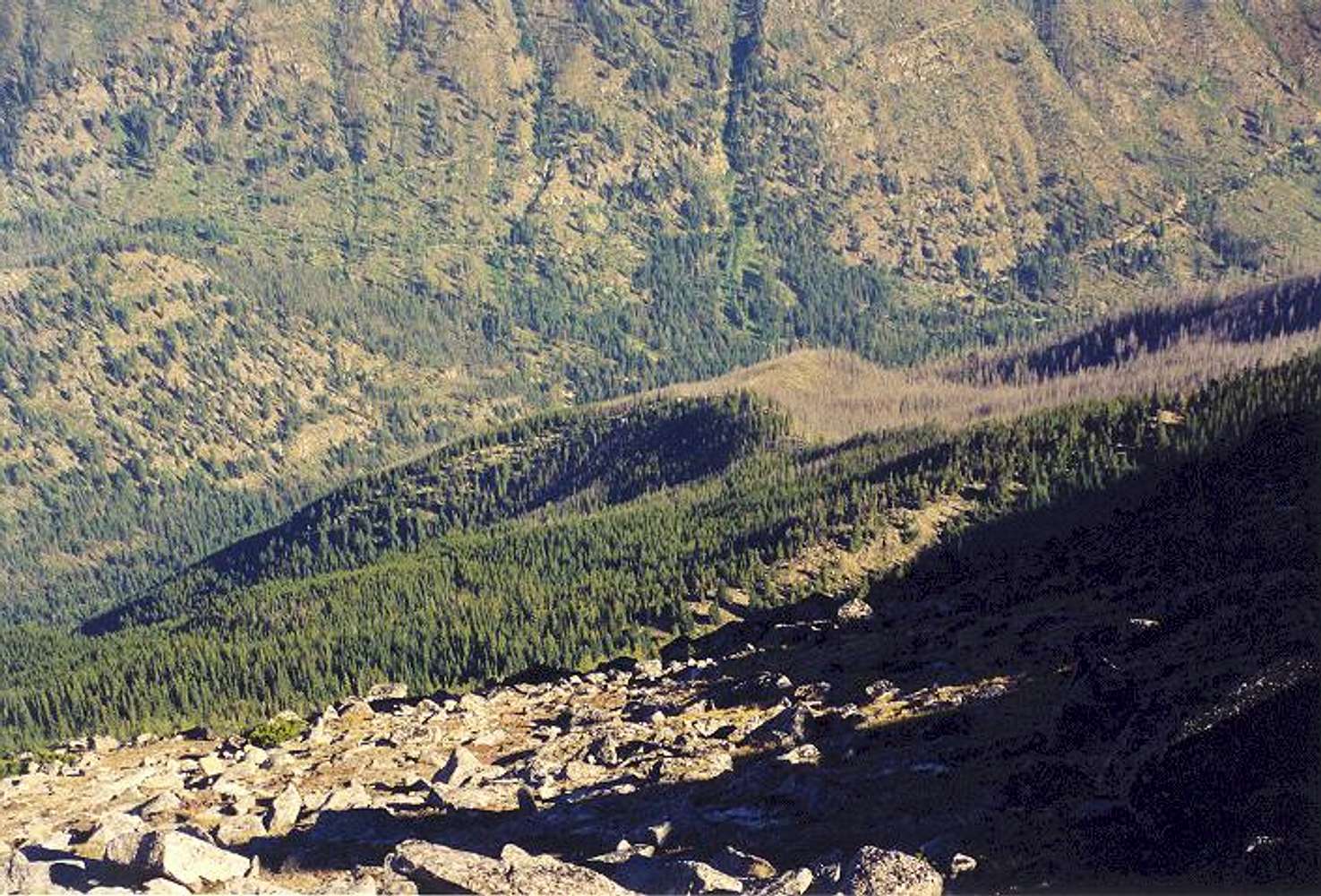
This is the far northwest side of Cannon as viewed from the saddle immediately NW of Coney Lake. The valley bottom is about 3,200 ft. Where this photo was taken is about 7,900 ft. The start for a climb up this side of Cannon is from the Stuart Lake Trailhead, which is just out of sight to the left. My route did not follow Dean's line in
this map but instead bore more or less directly upslope from the T.H. about 200 yards north of the creek draining westward. I came to the flat area at 6,000 ft only to find some of the largest slide alders I've ever seen. Momentary bushwhacking got me through that, then through steep forest interspersed with cliff, then finally through open but steep slopes to the aforementioned saddle. It is a toss up which route, Dean's or mine, is quicker. Mine is much more direct where as Dean's makes use of a road but initially goes away from the summit. Incidentally, the border between burned and unburned slope in the picture is along the spur ridge just right of the feature labeled "1-86" on Dean's map. Photo taken Aug. 16, 2002.


