Toggle navigation
Mountains
Routes
Images
Trip Reports
Forum
What's New
People
Areas & Ranges
Articles
Trailheads
Canyons
Huts & Campgrounds
Albums
Logistical Centers
Fact Sheets
Lists
Custom Objects
Gear
Plans & Partners
WELCOME TO SUMMITPOST
SIGN IN
REGISTER
Colorado County Highpoints
Additional Parents
Rampart Range Road scrambles before the closure
Image
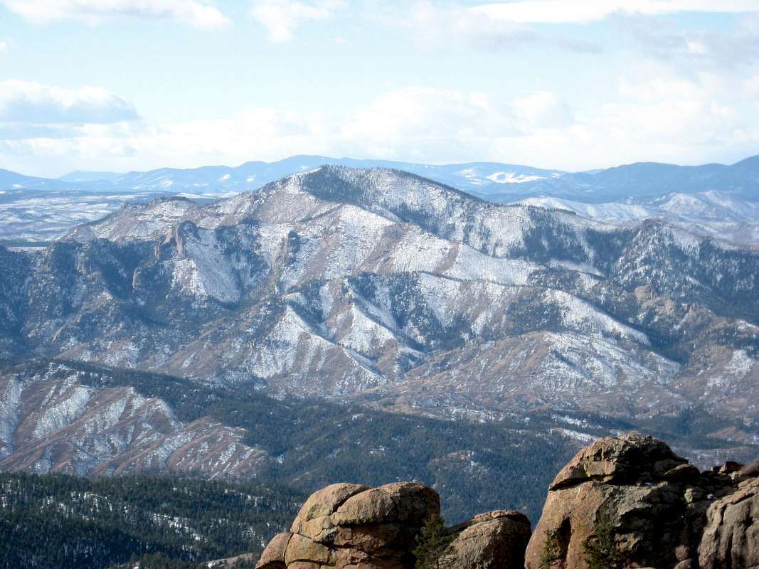
Thunder Butte
View High-Resolution Image
Thunder Butte
The Douglas County High Point, and a fine peak in itself.
« PREV
NEXT »
Jeremy Hakes
on
Nov 15, 2011 10:56 am
Comments & voting
Other parents
Lat/Lon:
39.16813°N / 105.19787°W
Image Type(s):
Hiking
,
Scenery
Image ID:
760124
3188 Hits
0
% Score
0
Votes
Log in to vote
Comments
No comments posted yet.
to post!
Don't have an account?
Rampart Range Road scrambles before the closure
(Trip Report)
« PREV
Viewing
#13 of 16
GALLERY
NEXT »
Jeremy Hakes's Image Gallery
« PREV
Viewing
#805 of 927
GALLERY
NEXT »
Colorado County Highpoints
(List)
Loading....
×
You need to login in order to vote!
User Name
Password
Remember me
Forgot your password?
Log me out when I close my browser.
Keep me logged in all the time.
sign in as a user
Don't have an account?
Register now for FREE
Rating available
Suggested routes for you
People who climb the same things as you
Comments Available
Create Albums
Register Here


