
Viewing: 1-2 of 2

SoCalHiker - Jan 6, 2008 7:31 pm - Voted 10/10
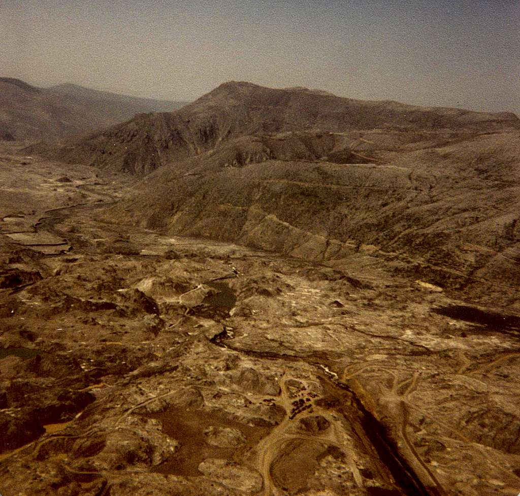
Impressive photo!The eruption of 1981 always reminds me of how helpless humans are when it comes to the powerful and destructive forces of nature and of how our mere existence on this planet depends on forces we cannot control. Thanks for sharing.

lcarreau - Jan 6, 2008 8:21 pm - Hasn't voted
Complete agreement!The initial eruption occurred on May 18,
1980. I was living in western Washington
at the time, and I did feel the jolt of
a small earthquake from over 200 miles
distant. Yes, Nature can show its dark side.
Thanks for your kind comments. I'm sure you
are having fun in the Tahoe area.
Be safe!!!
Viewing: 1-2 of 2


Comments
Post a Comment