|
|
Trip Report |
|---|---|
|
|
45.58491°N / 121.85212°W |
|
|
Download GPX » View Route on Map |
|
|
Jul 6, 2023 |
|
|
Hiking |
|
|
Summer |
Overview
Eagle Creek Canyon is a popular hiking trail on the Oregon side of Columbia River Gorge. The trail takes you up the canyon past many spectacular waterfalls. The 160 ft tall Tunnel Falls, roughly 6 miles in from trailhead, can be an excellent destination for a day hike. Tunnel Falls is so called because the trail is constructed as a shelf halfway up the cliff of the waterfall with a man-made tunnel that takes you behind the falls. I went a quarter mile beyond Tunnel Falls to reach Twister Falls where I found a nice place to sit and enjoy the scenery.
Short video of the hike
Trip Report
Hike Length: Approximately 13.5 miles (poor GPS connection in some spots)
Trailhead Elevation: 110 ft
Elevation at Twister Falls: 1150 ft
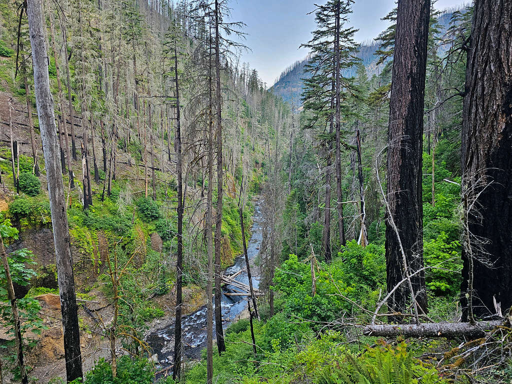
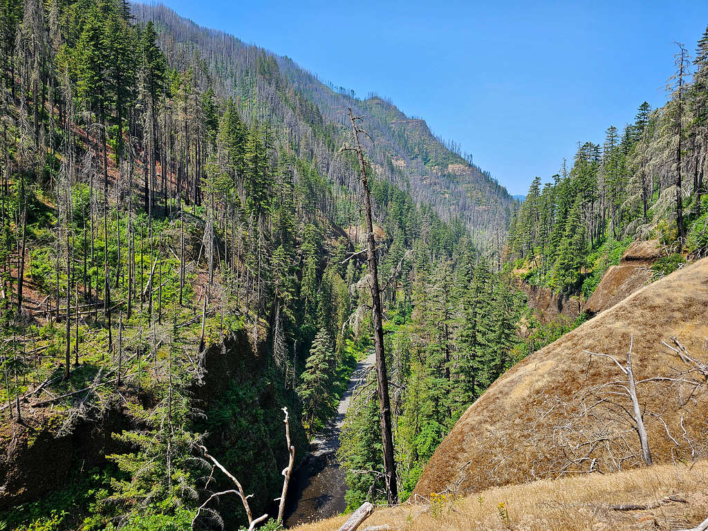
Started my hike at Eagle Creek Trailhead at 5:40 AM, elevation 110 ft. No one was there and I did not see anyone until a couple of hours later. The trail went into a beautiful canyon. Unfortunately, much of the forest appeared burned as the result of the 2017 Eagle Creek Wildfire.
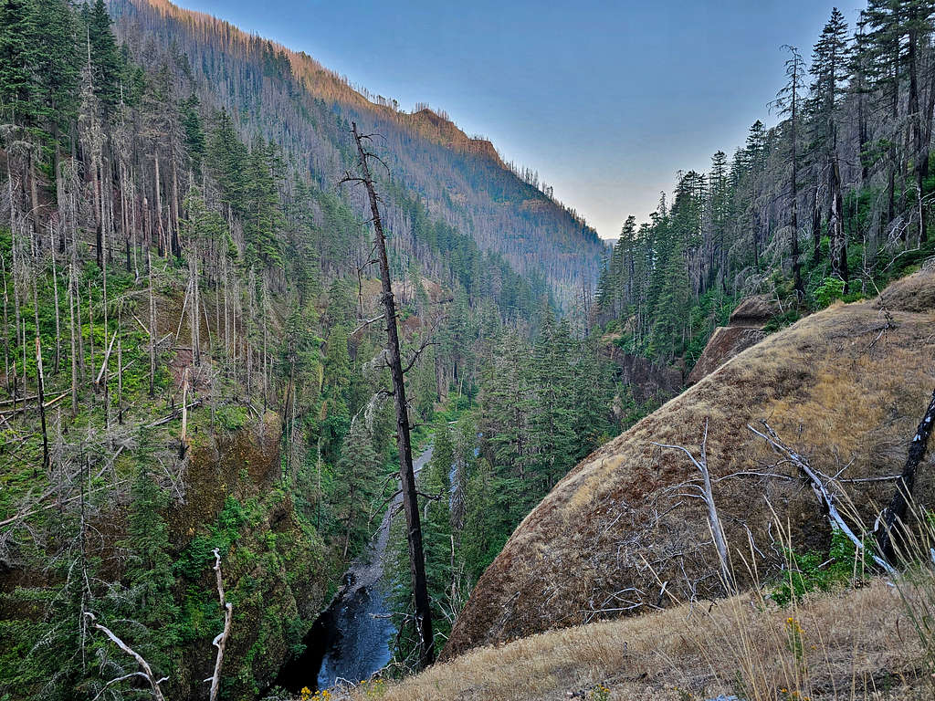
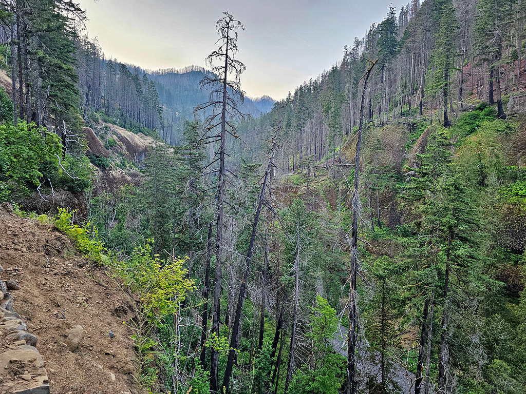
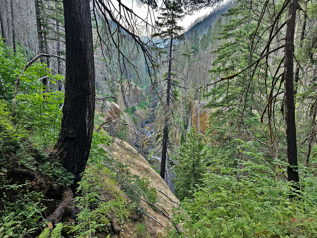
As I had read, in some places, the trail had been cut as a shelf pathway into the sheer cliffs but was wide enough to not feel scary. A steel cable was on the cliff side, in case anyone felt they needed to hold onto it.
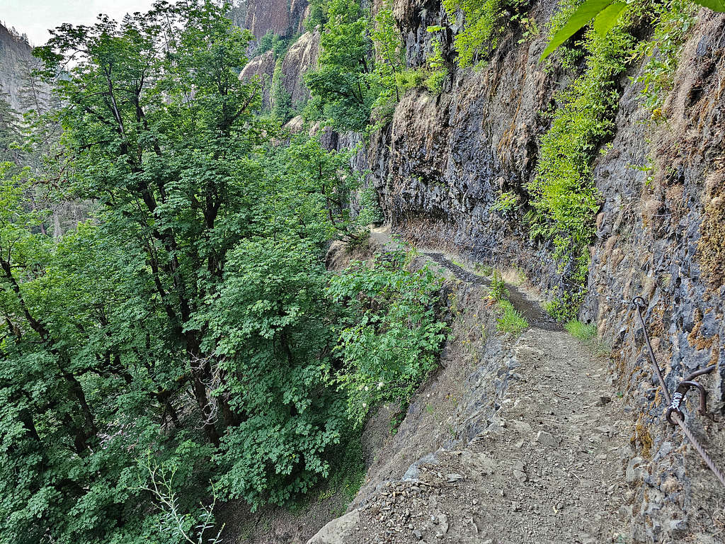
After just below 2 miles, I got a glimpse of a waterfall that I later identified on the map as Metlako Falls.
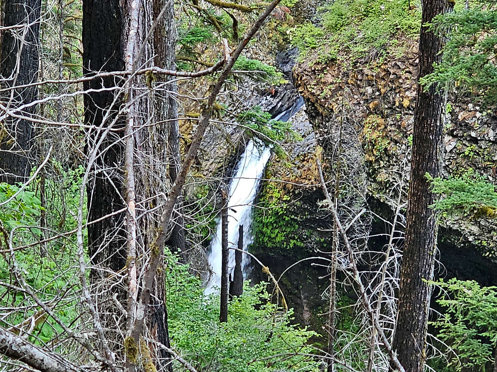
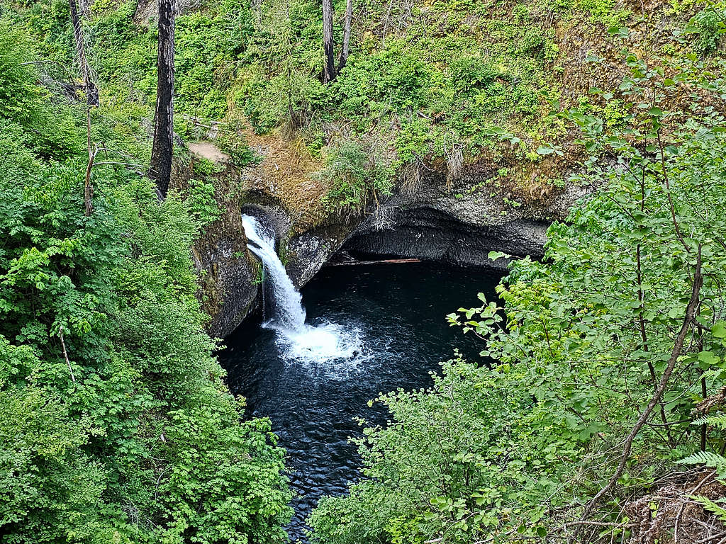
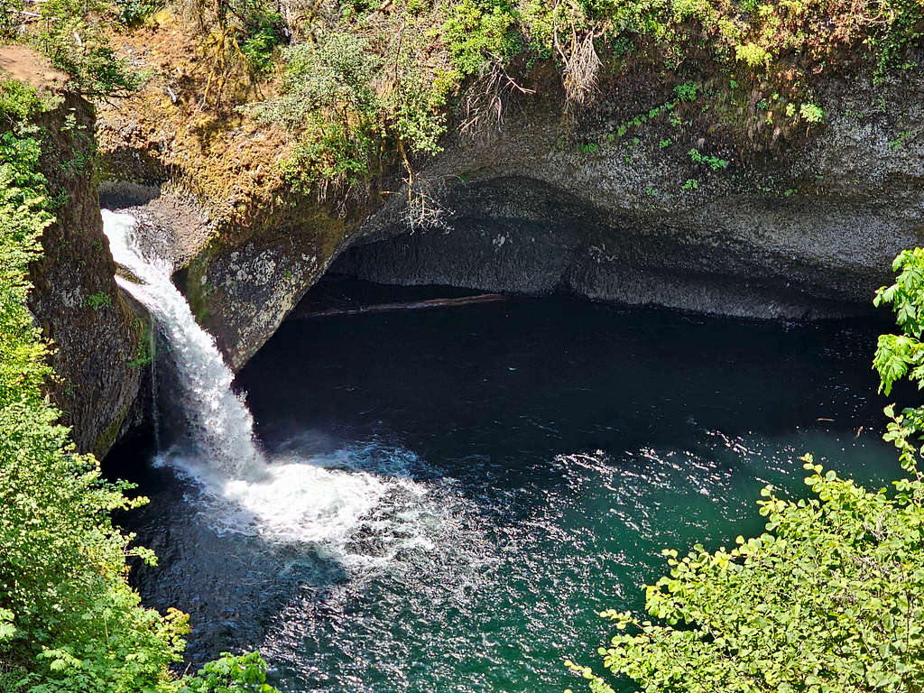
At 6:35 AM 2.5 miles and 500 ft elevation, I reached a 0.2-mile spur trail that took me 150 vertical feet down to reach Lower Punchbowl Falls. I had read that was a usually crowded place but at that early hour, I had it to myself.
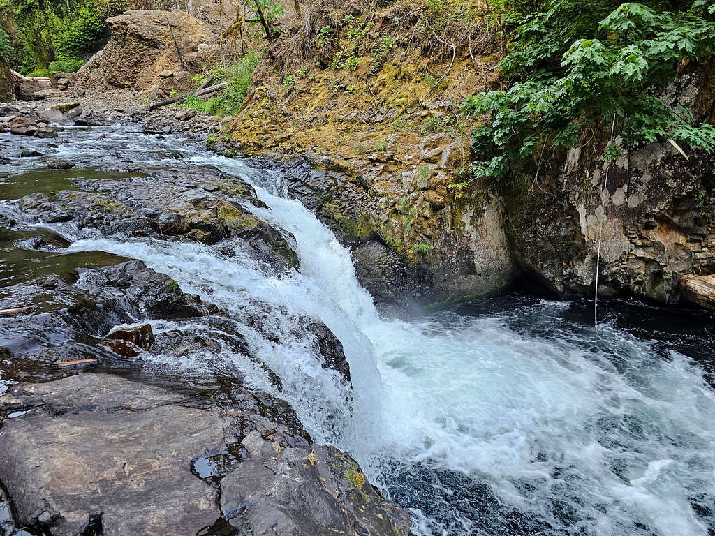
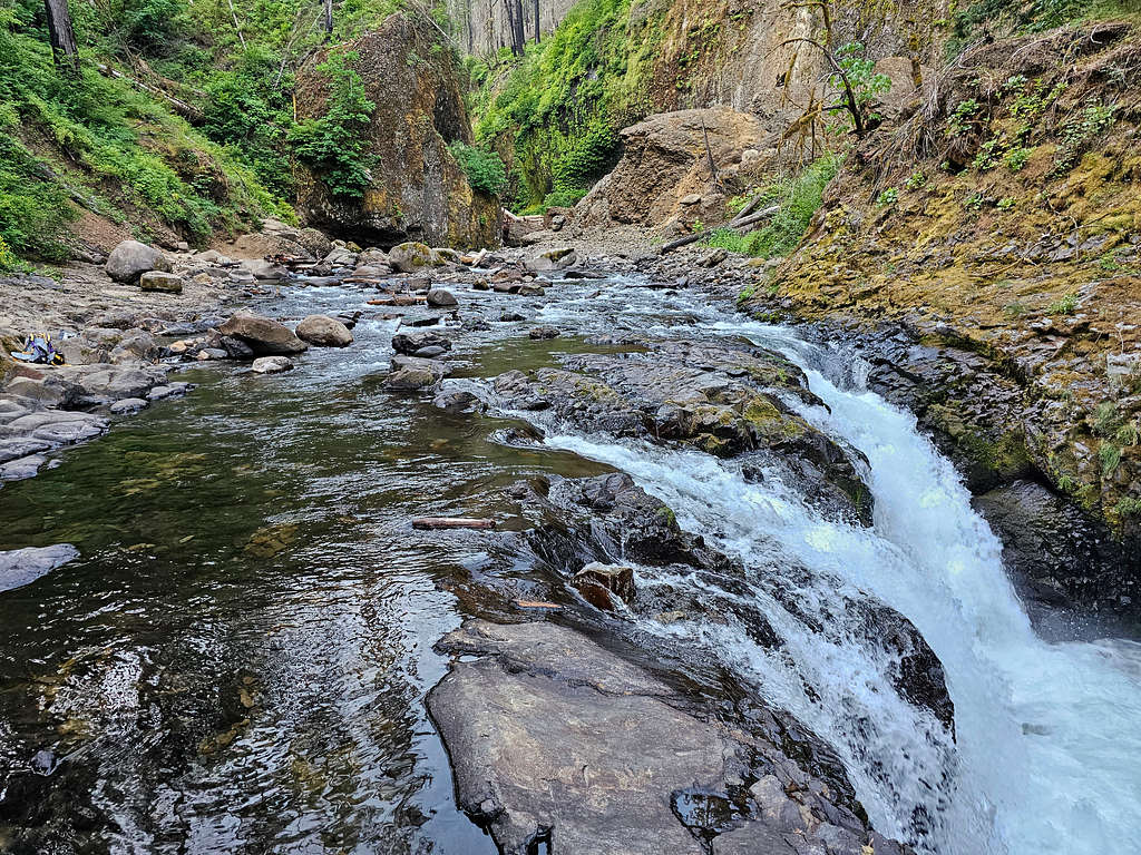
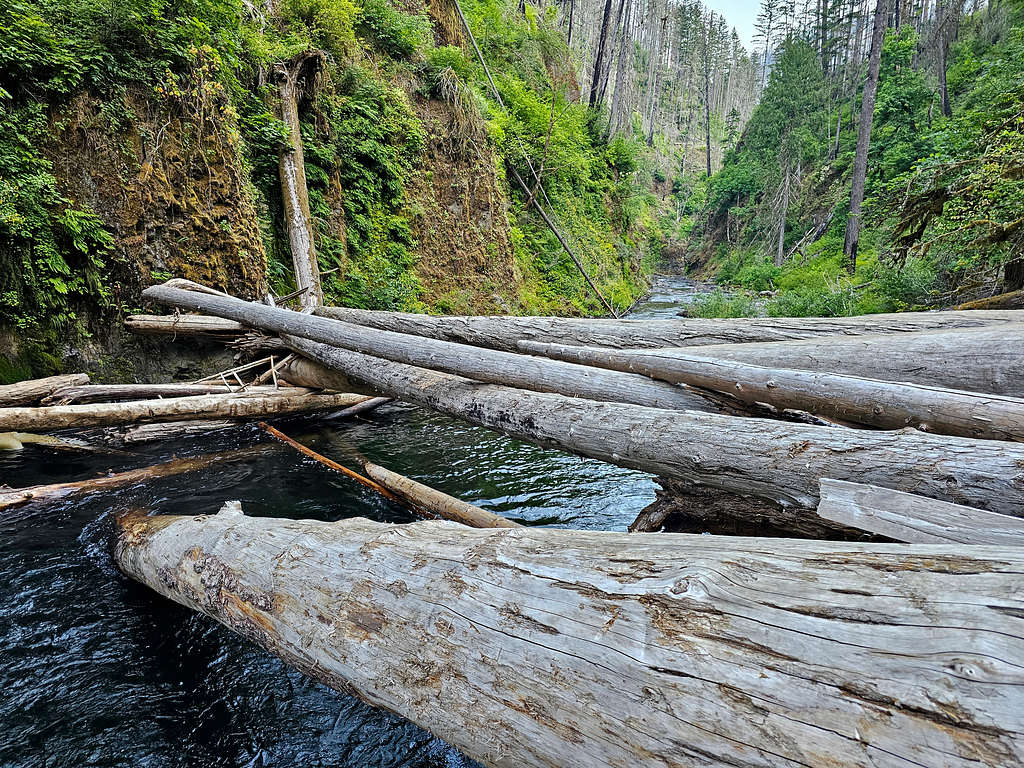
After taking pictures and a short break, I went back up to the main trail.
View of Upper Punchbowl Falls.
Beautiful canyon.
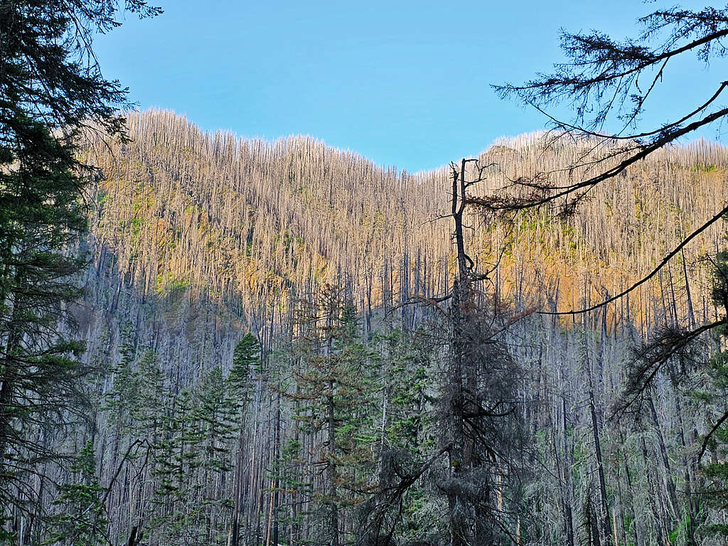
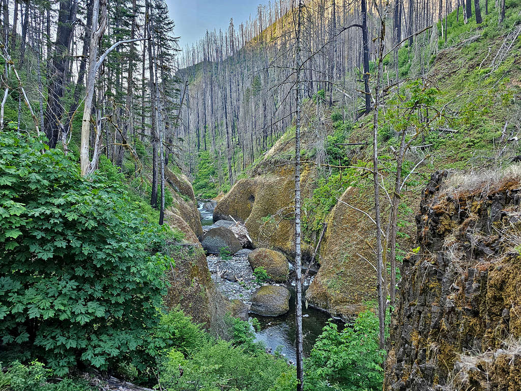
Loowit Falls.
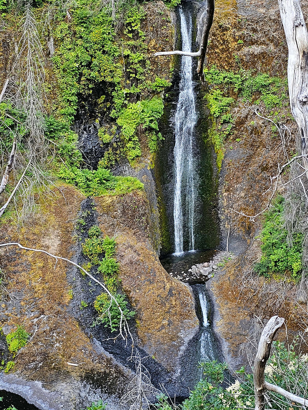
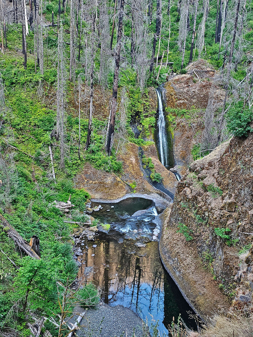
The scenic High Bridge over the little “gorge”.
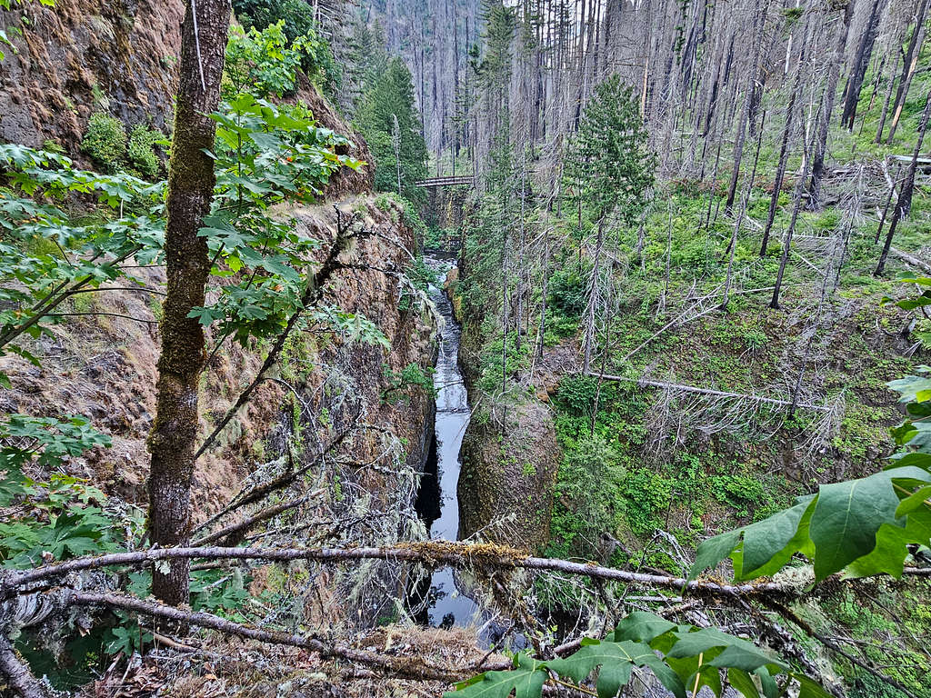
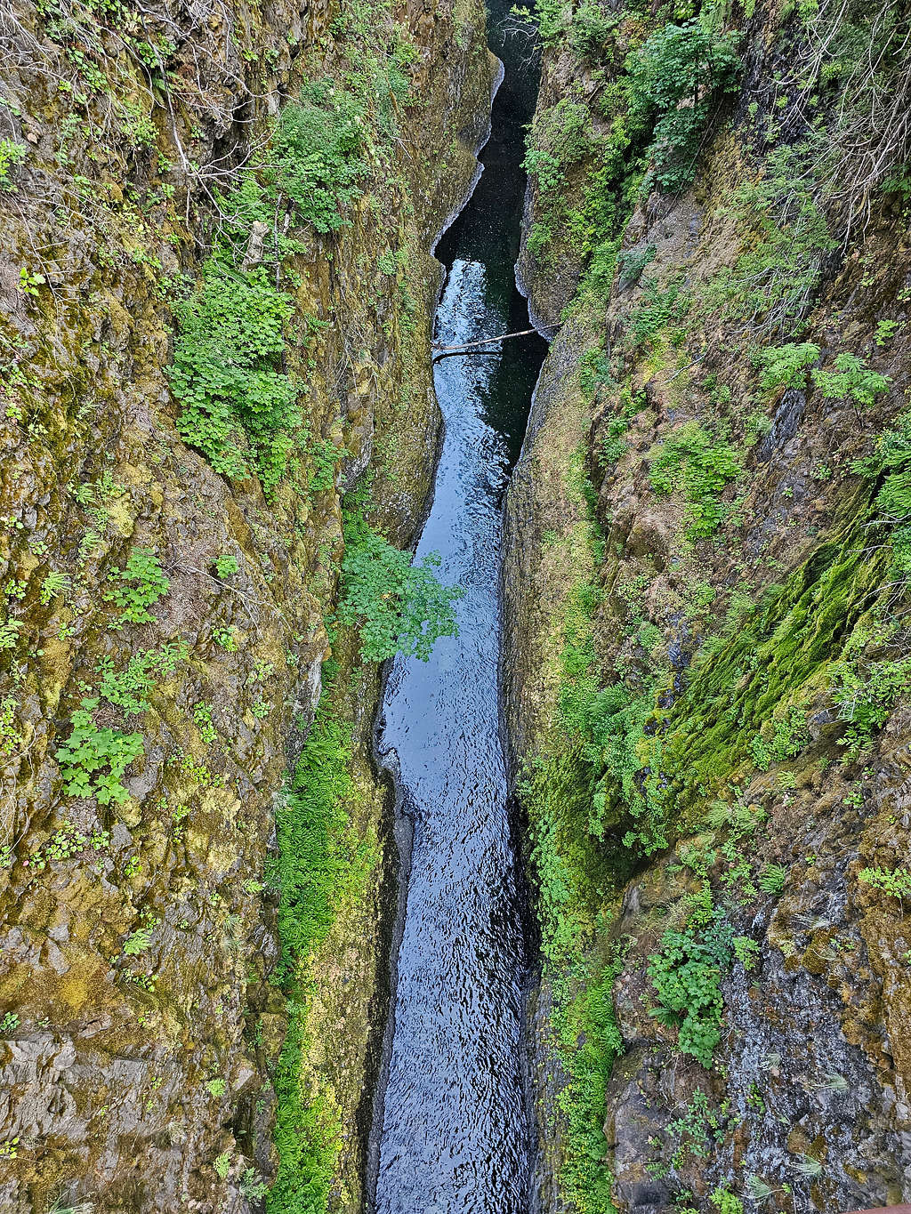
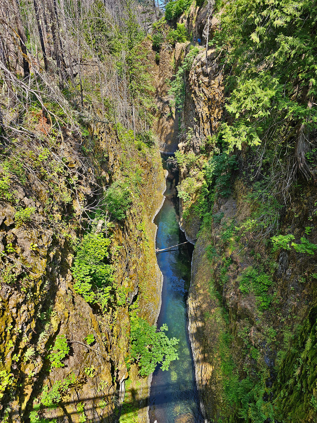
Looking into the little “gorge” from High Bridge, north and south.
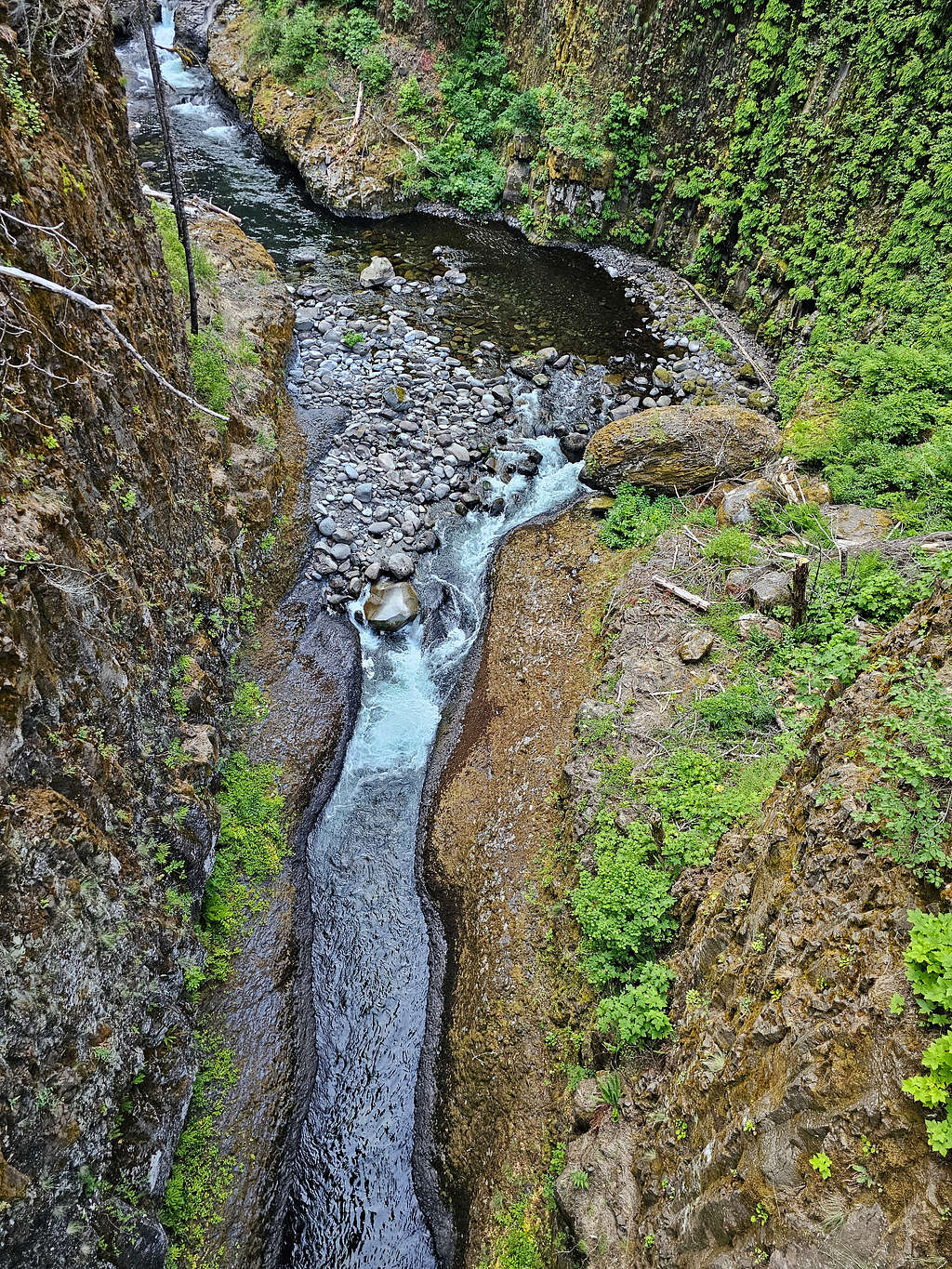
Looking back at High Bridge.
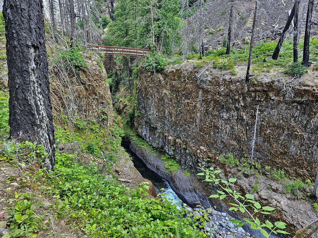
Skoonichuk Falls.
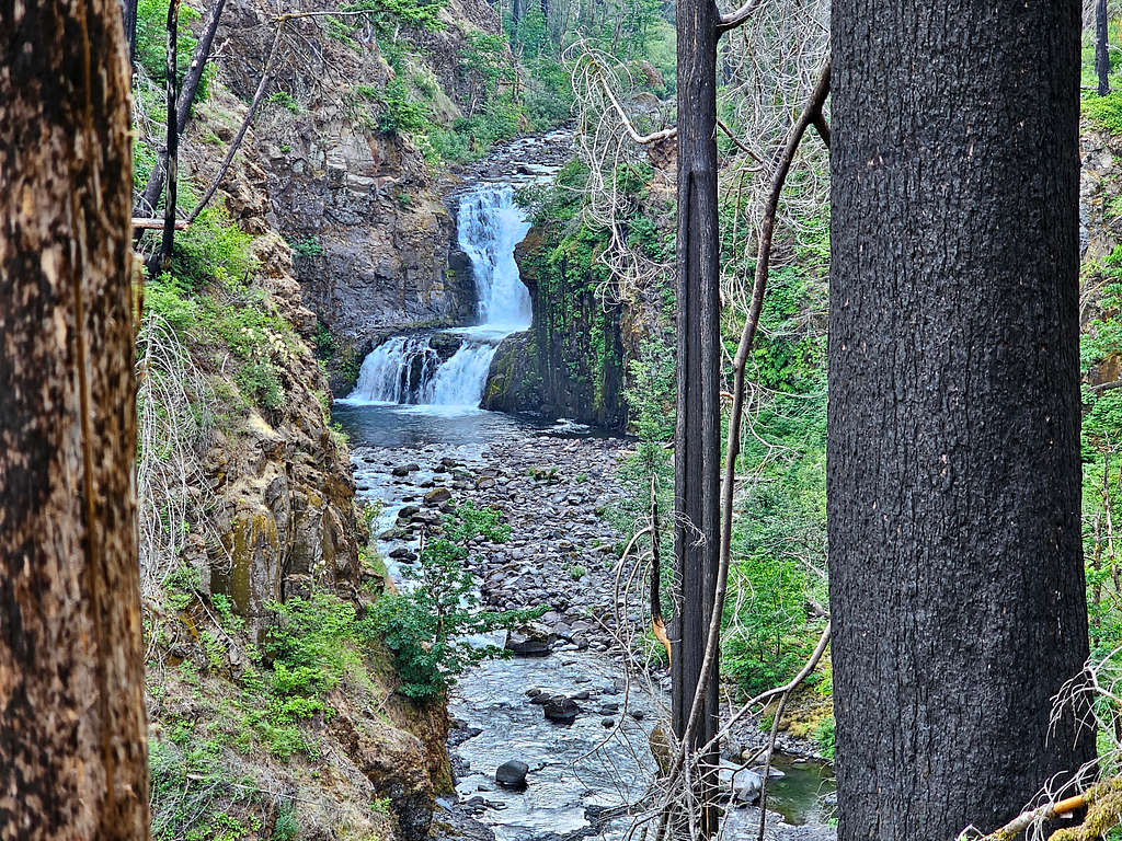
Views from Four and A Half Mile Bridge.
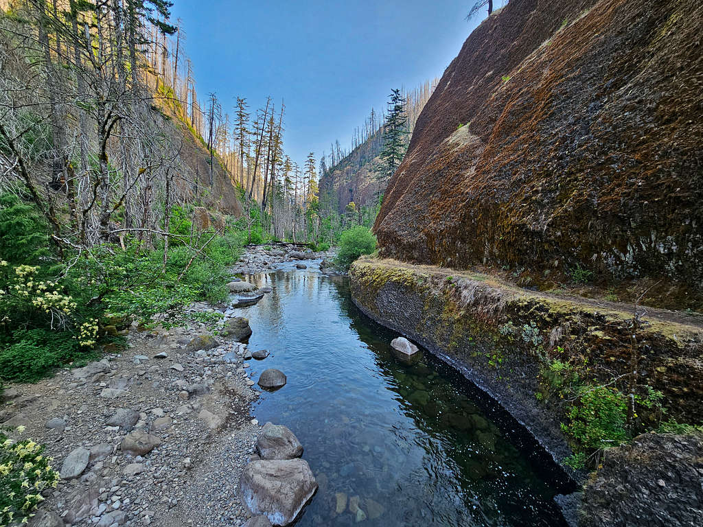
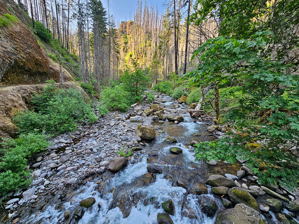
Tenas Falls.
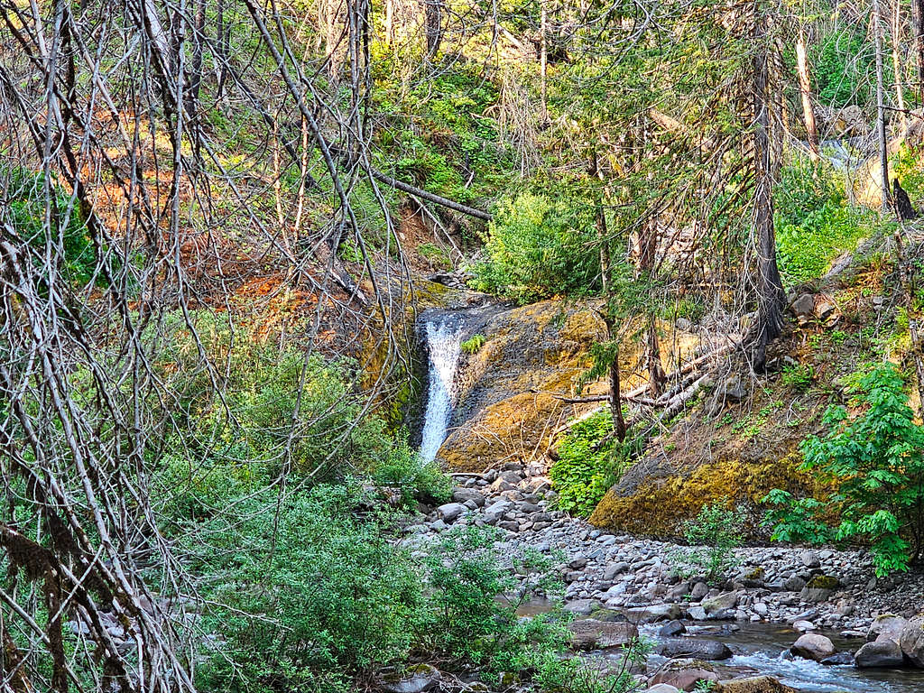
Enjoying the canyon.
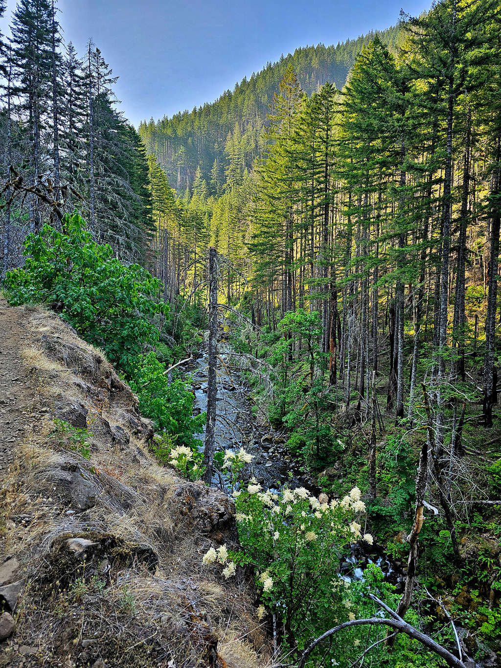
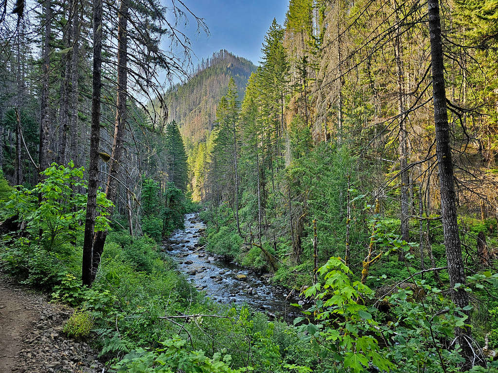
Wy’east Falls.
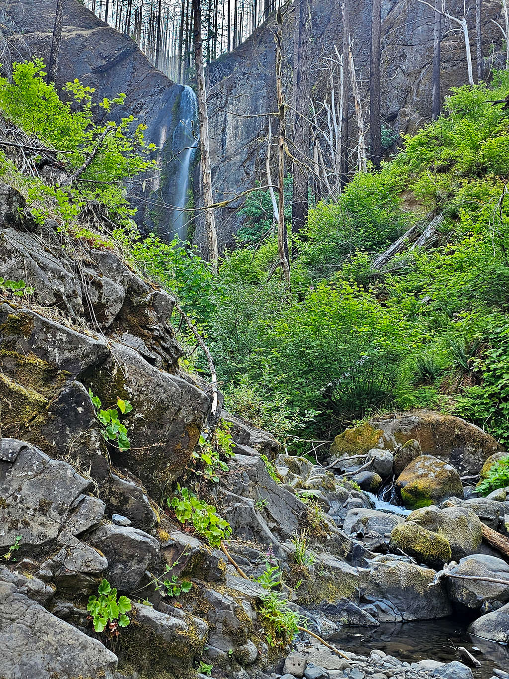
Grand Union Falls.
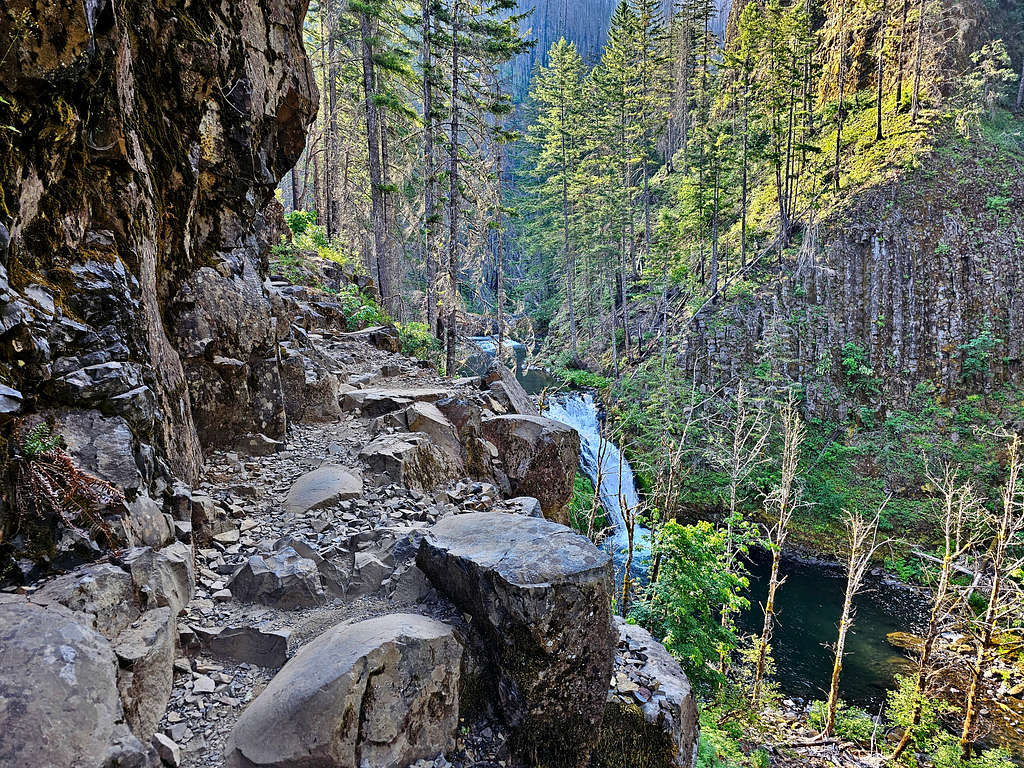
After a turn in the trail, I finally got the first view of Tunnel Falls.
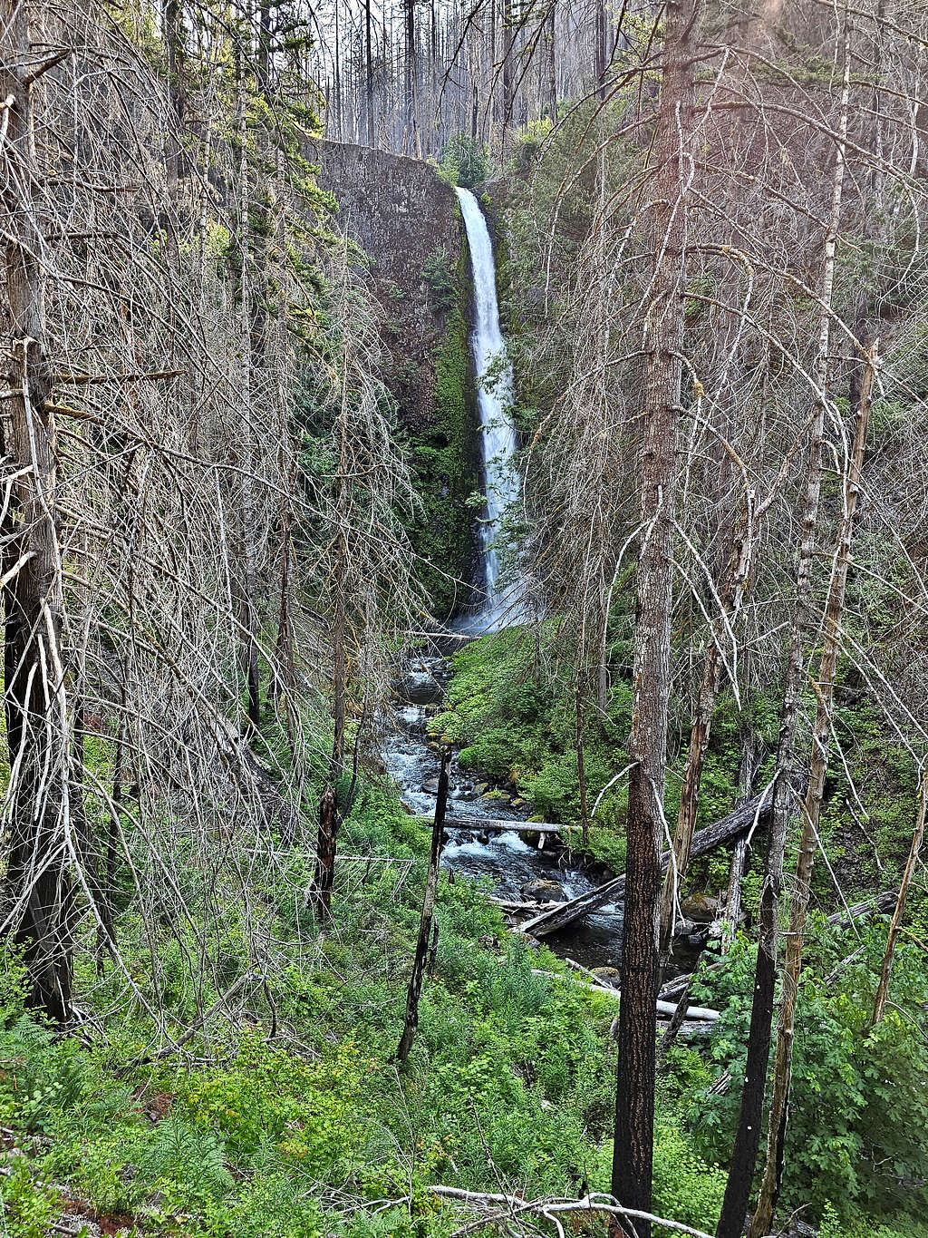
A little closer.
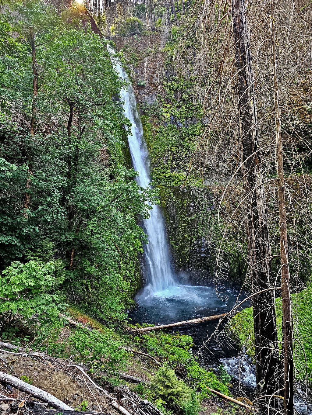
Shelf trail cut into the cliff. Tunnel behind the falls seen.
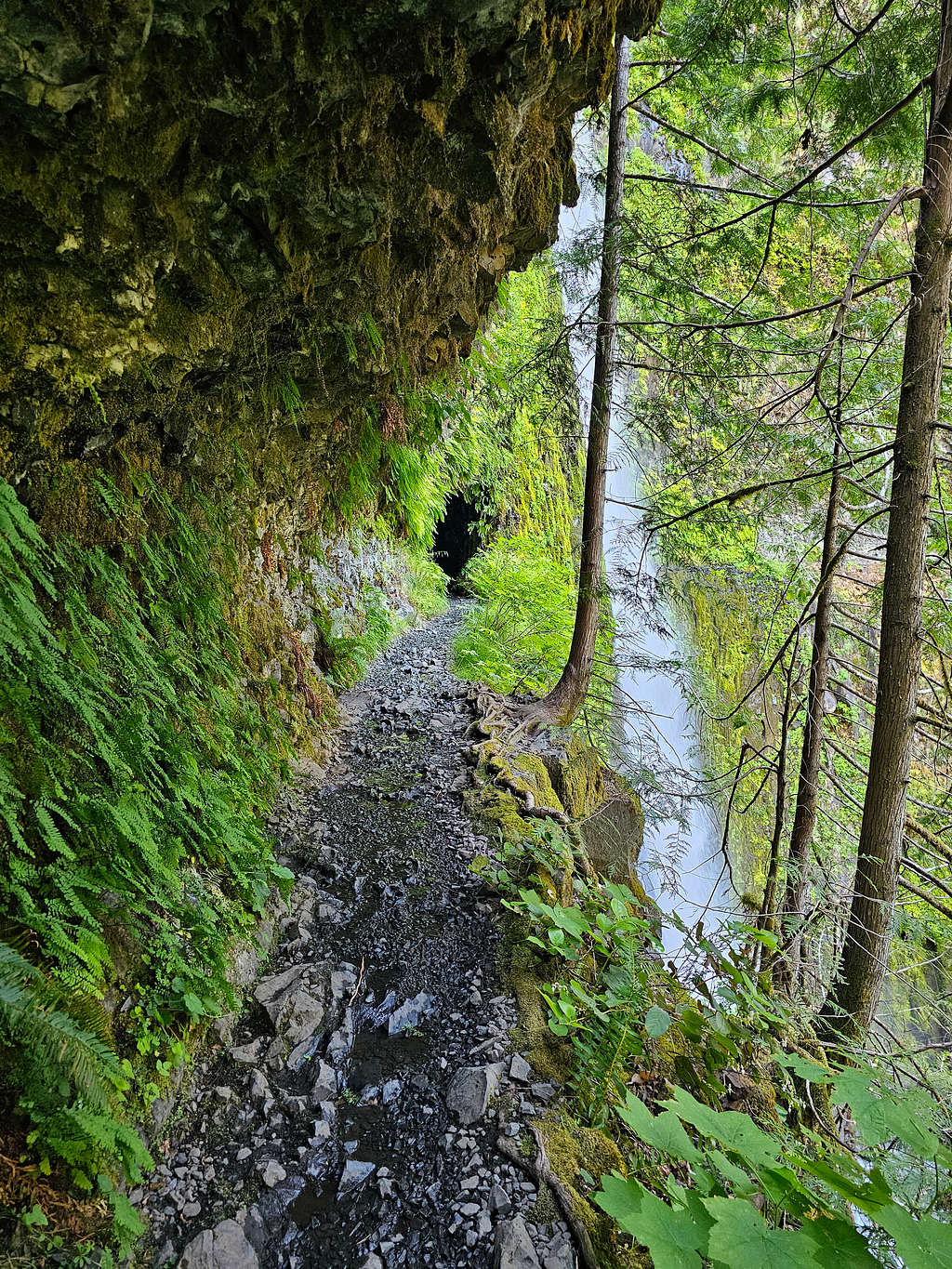
Tunnel Falls from the edge of the tunnel.
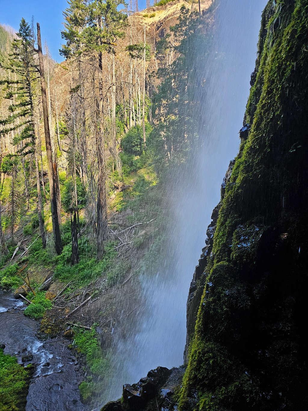
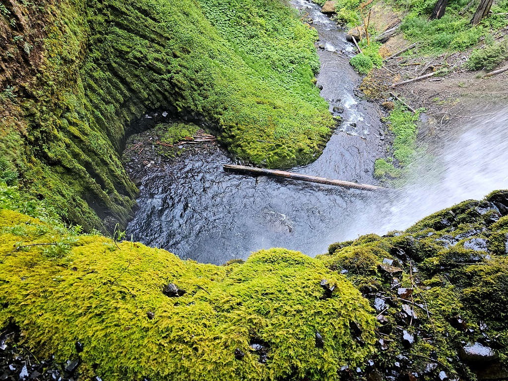
Pool at the base of Tunnel Falls.
Tunnel Falls.
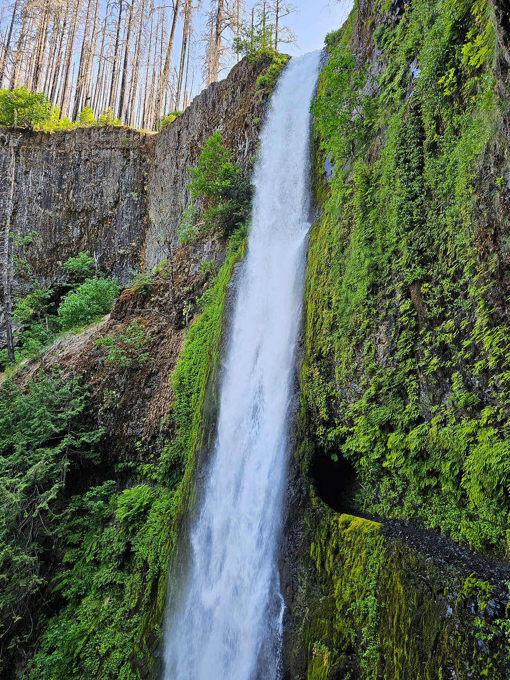
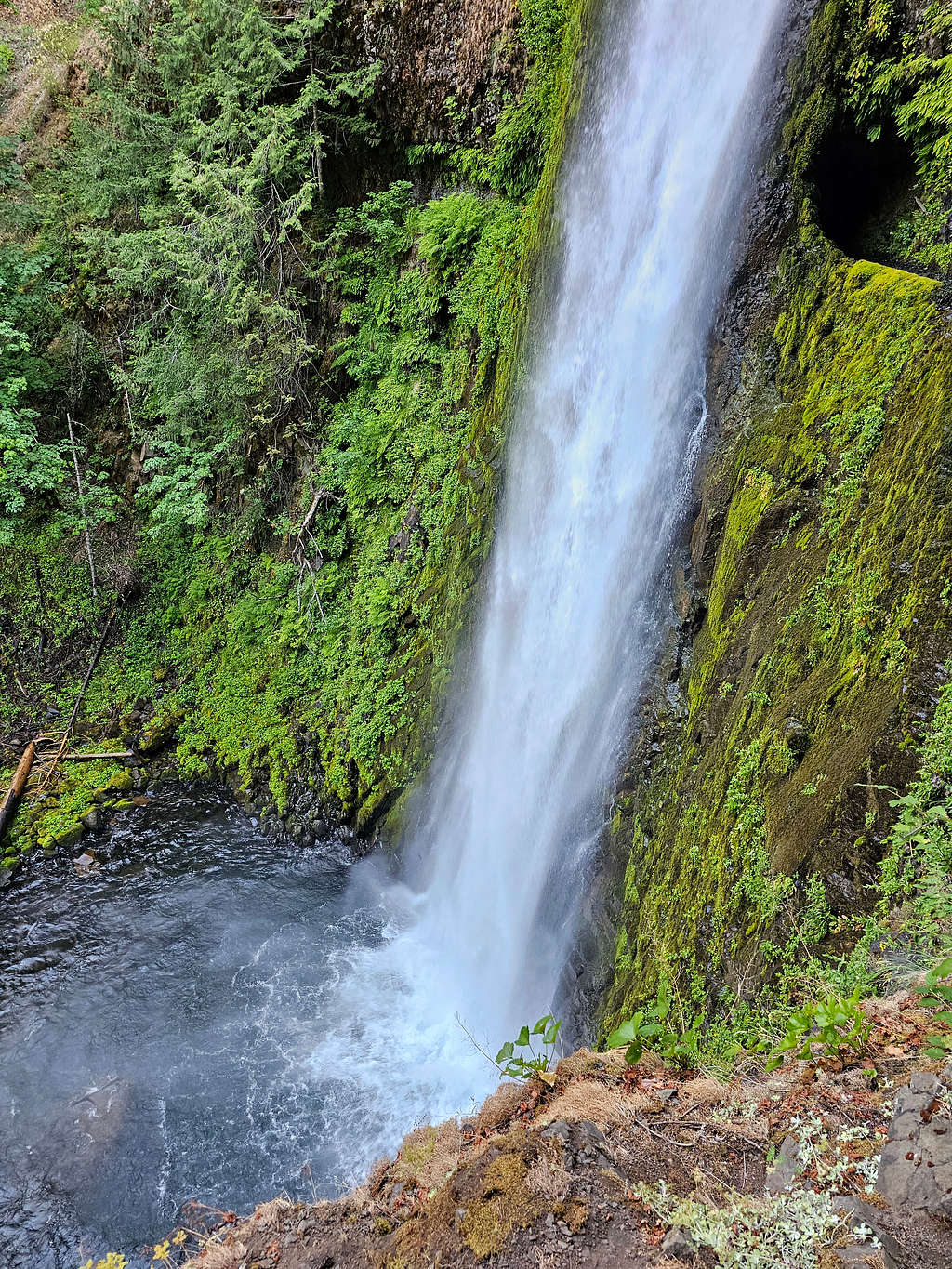
Another view.
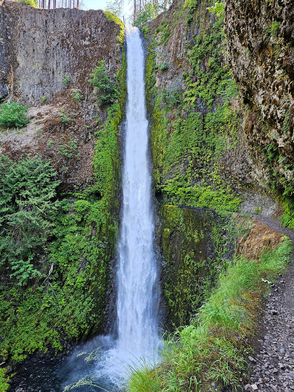
Approaching Twister Falls.
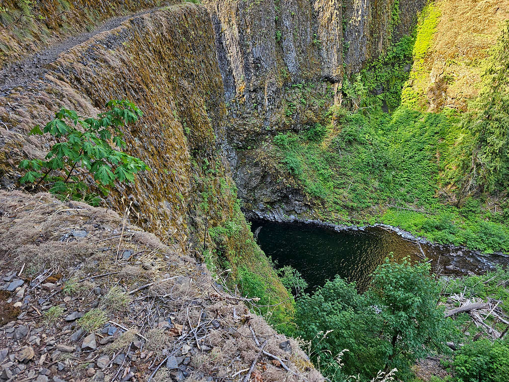
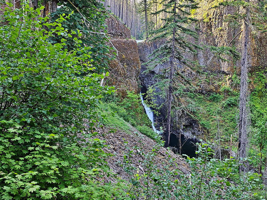
At 9:20 AM and 1150 ft elevation, I reached Twister Falls, a wonderful spot to eat and enjoy the views.
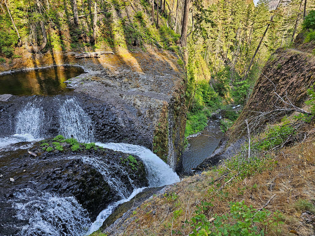
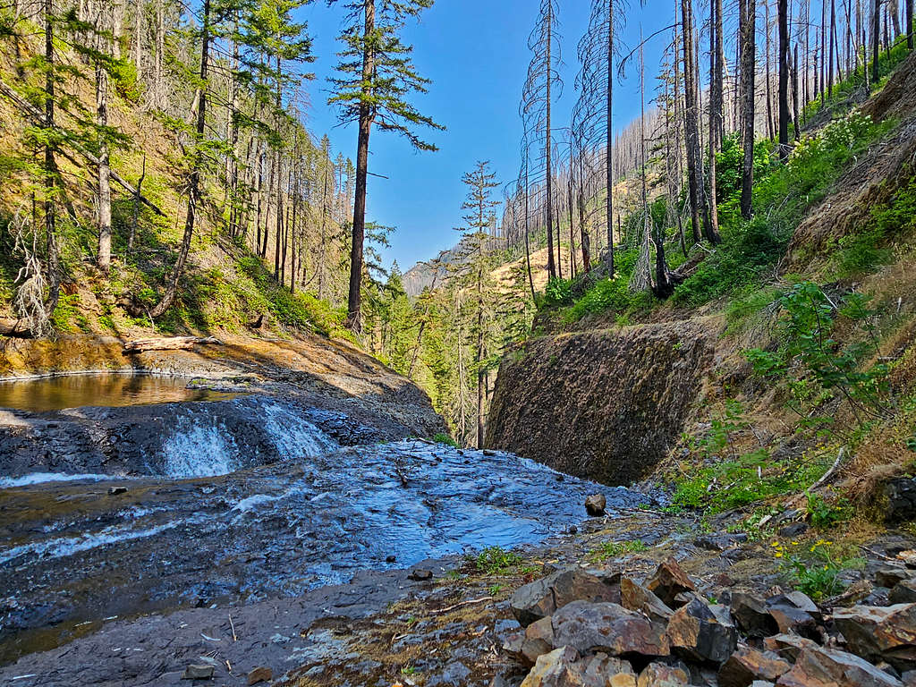
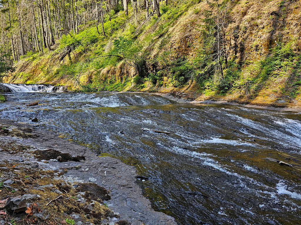
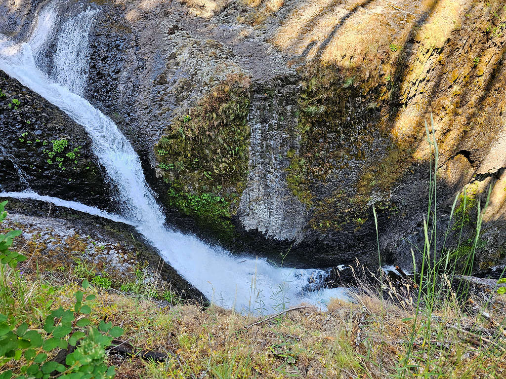
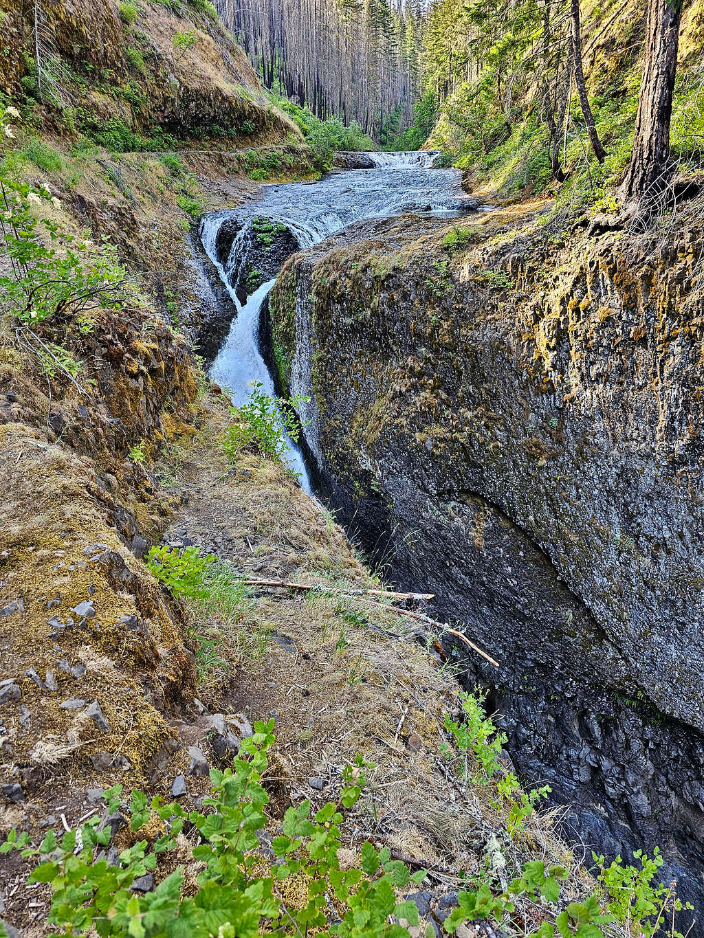
After eating and resting, I let at 9:55 AM retracing my path. Back to Tunnel Falls. There was still nobody there.Last view of Tunnel Falls.
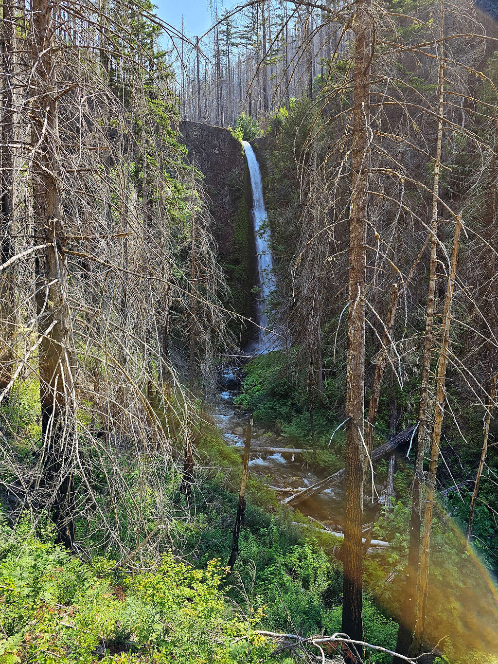
The same features as I saw in the morning, now under different light. Grand Union Falls.
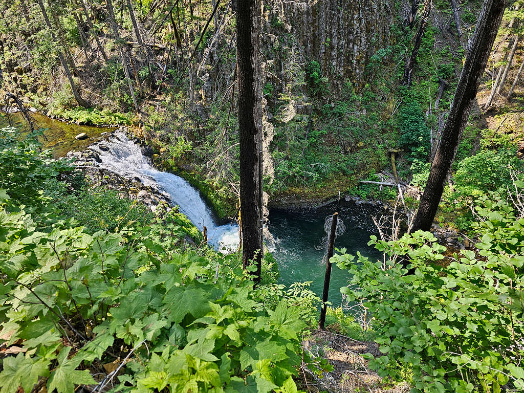
Beautiful canyon.
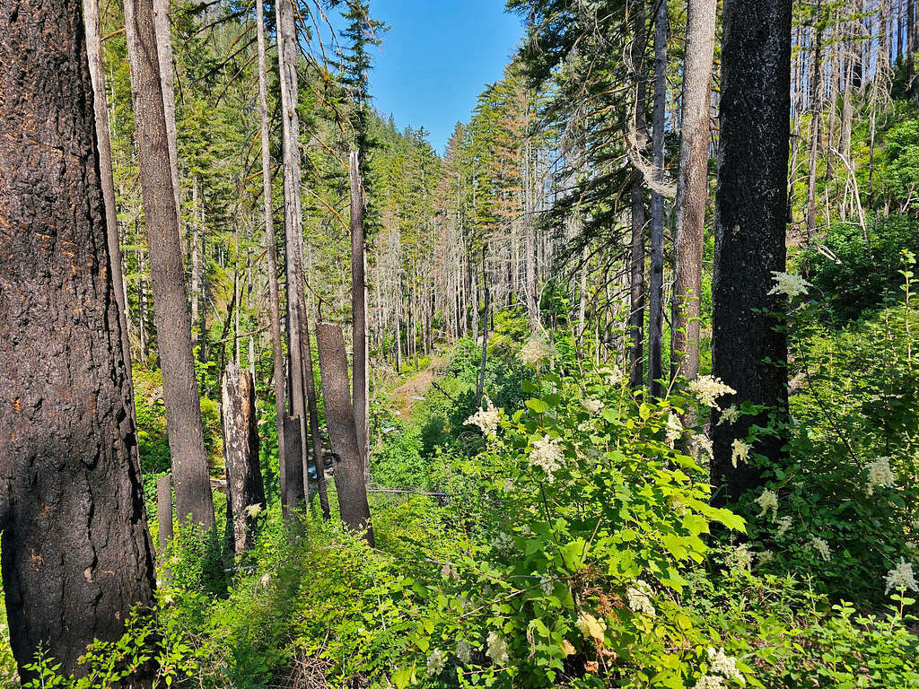
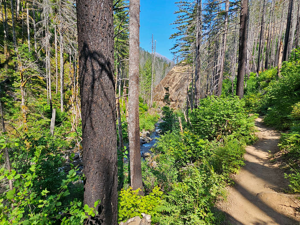
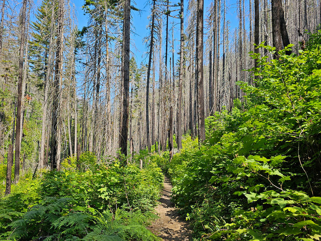
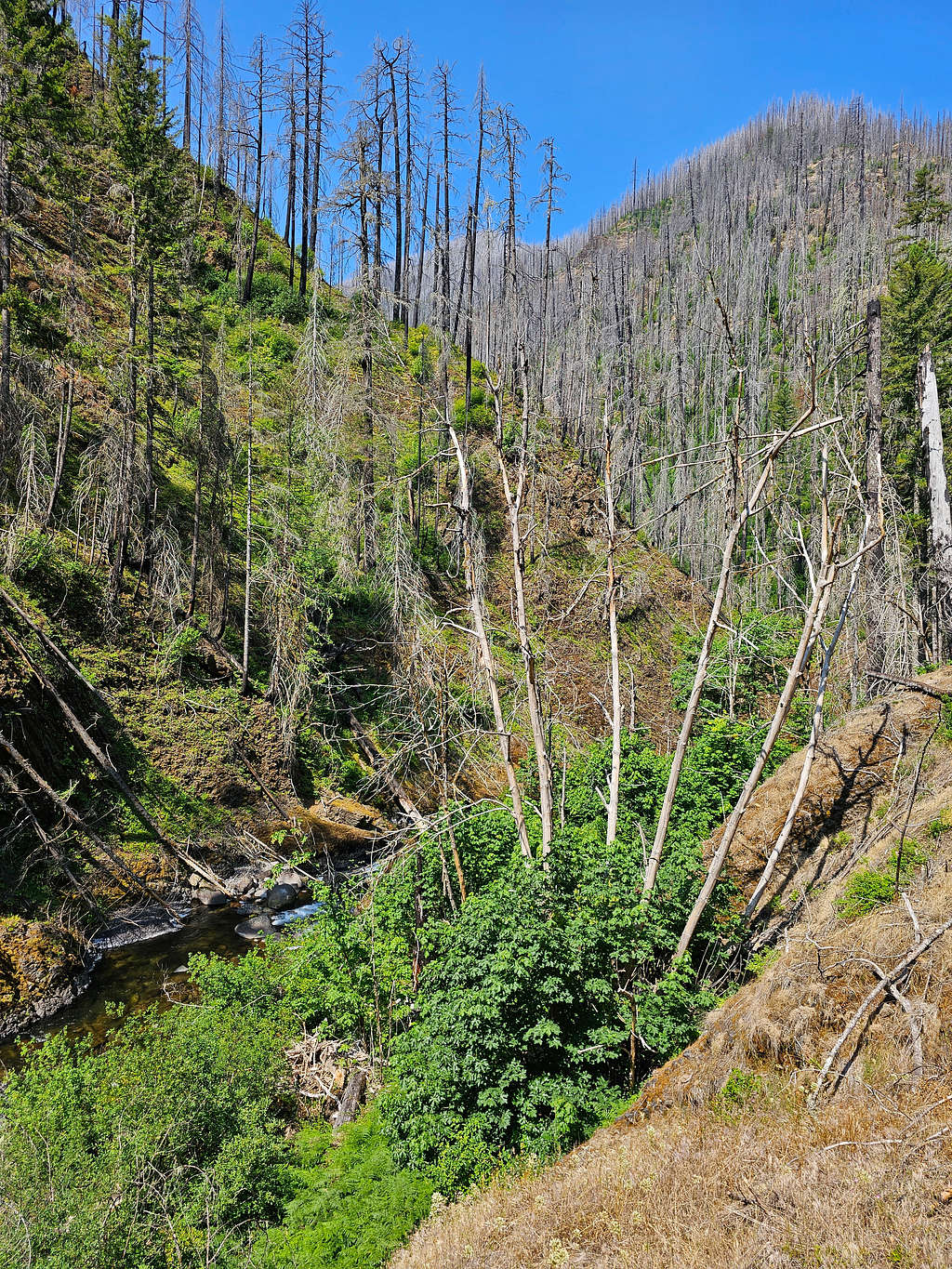
Basking in the sun.
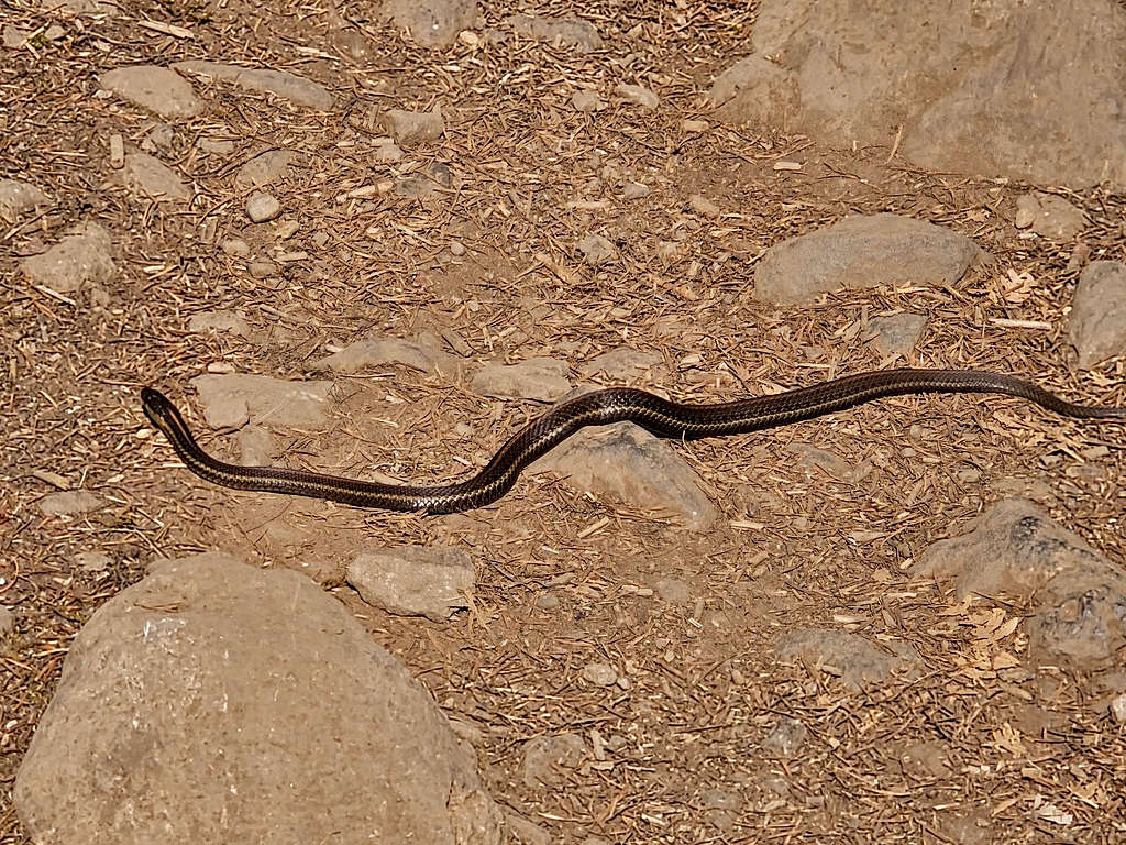
Rocky walls. I began running into people every now and then.
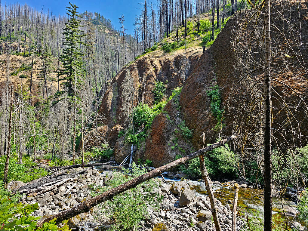
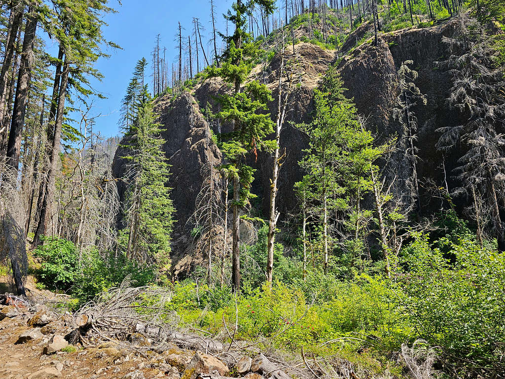
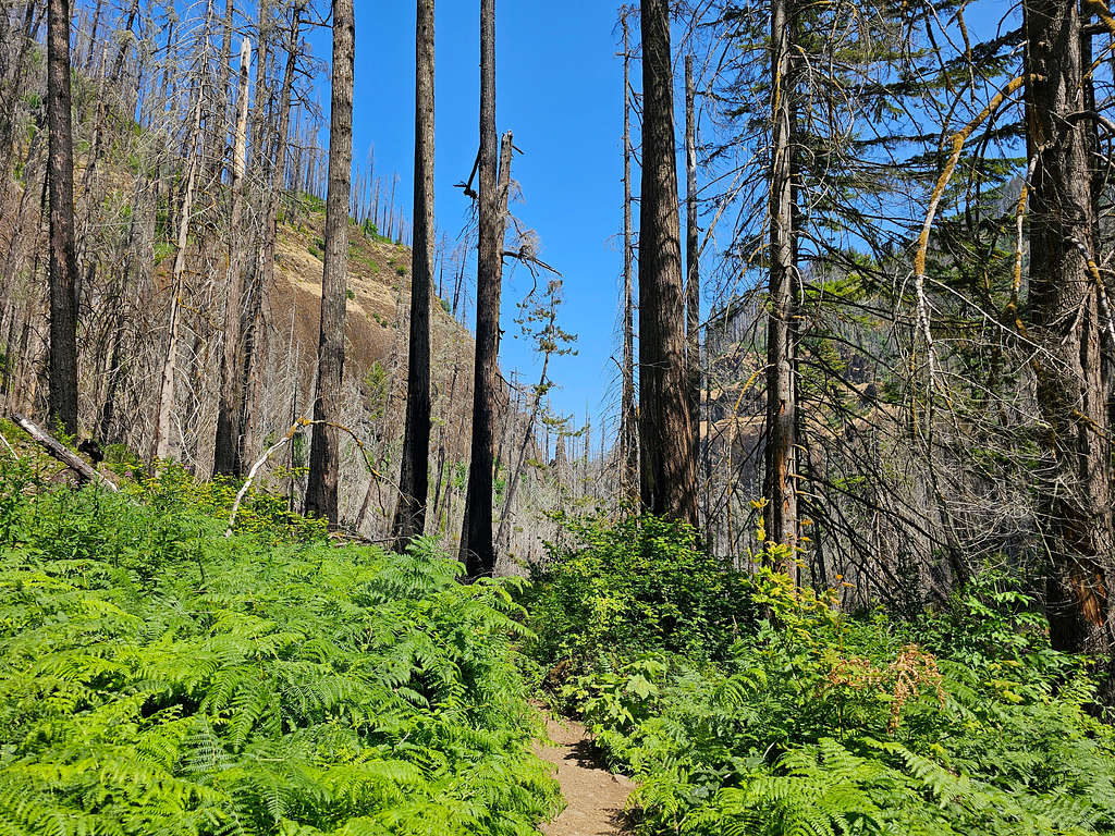
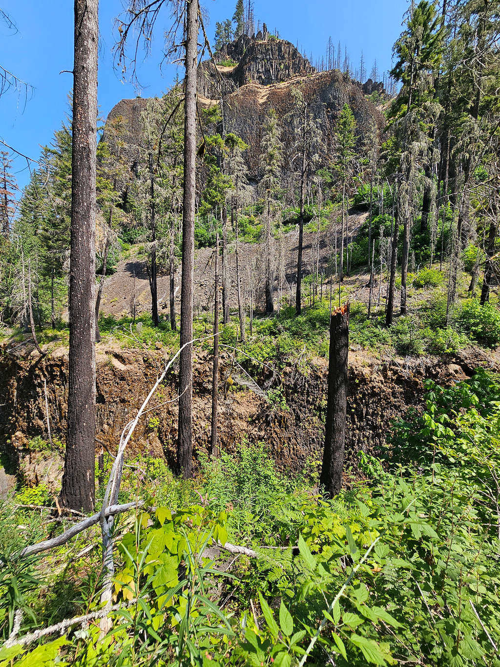
Skoonichuk Falls.
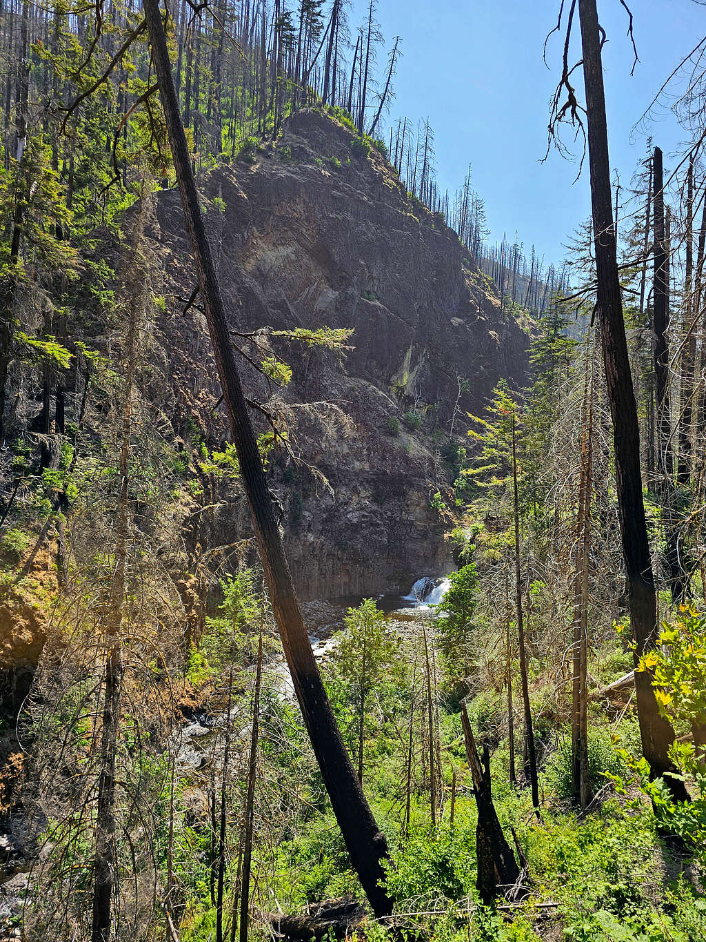
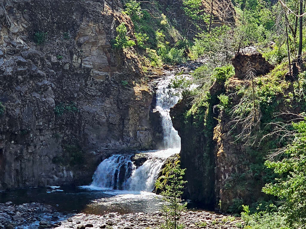
Views from High Bridge again.
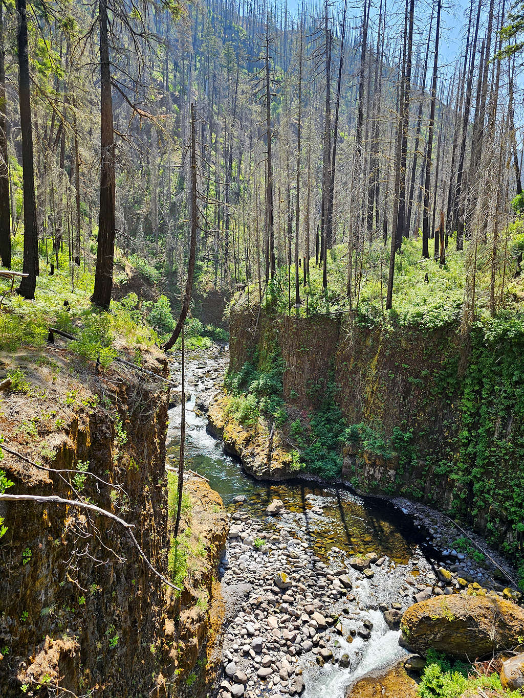
Loowit Falls.
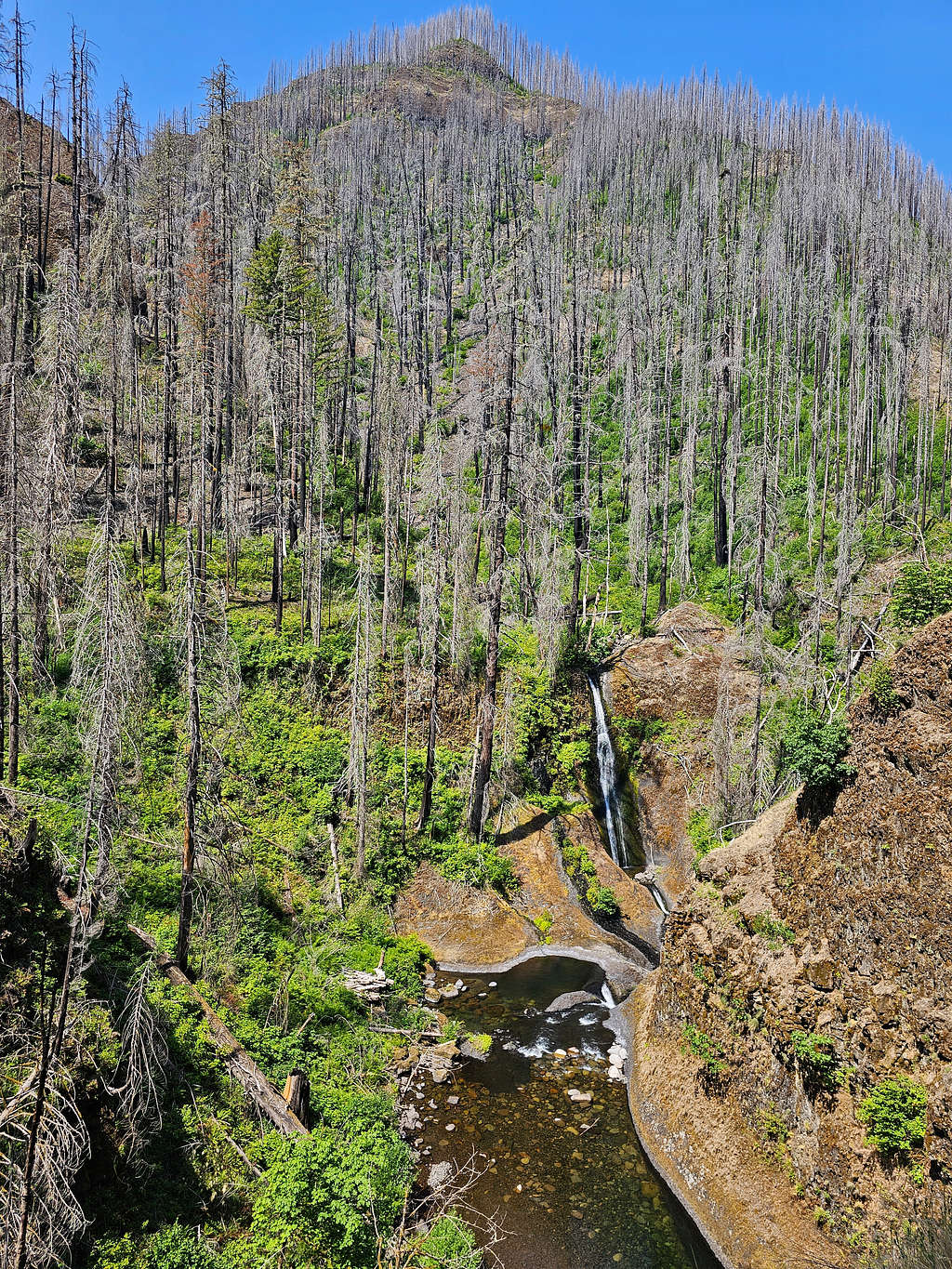
Looking back at High bridge.
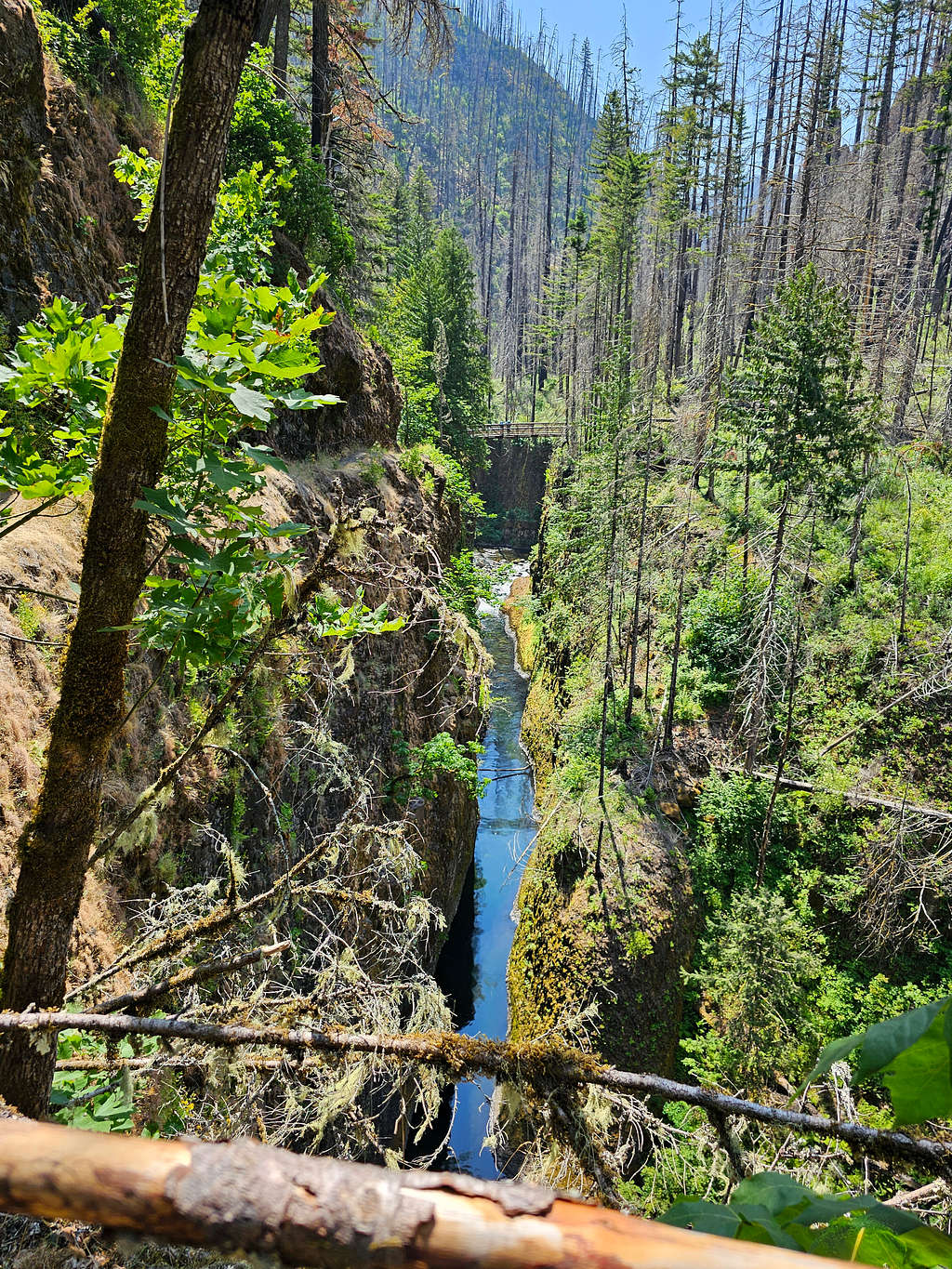
Eagle Creek.
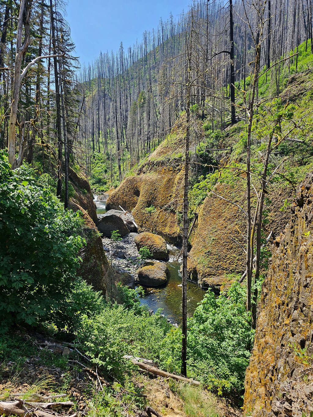
Upper Punchbowl Falls. After that, the number of hikers much increased.
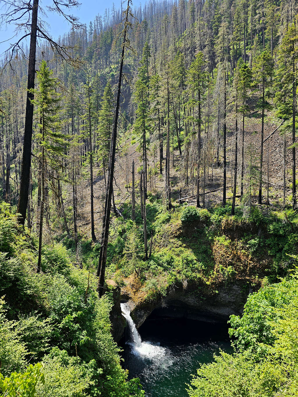
Canyon.
Was back to my car at 1:00 PM.

