Toggle navigation
Mountains
Routes
Images
Trip Reports
Forum
What's New
People
Areas & Ranges
Articles
Trailheads
Canyons
Huts & Campgrounds
Albums
Logistical Centers
Fact Sheets
Lists
Custom Objects
Gear
Plans & Partners
WELCOME TO SUMMITPOST
SIGN IN
REGISTER
View on descent
View High-Resolution Image
View on descent
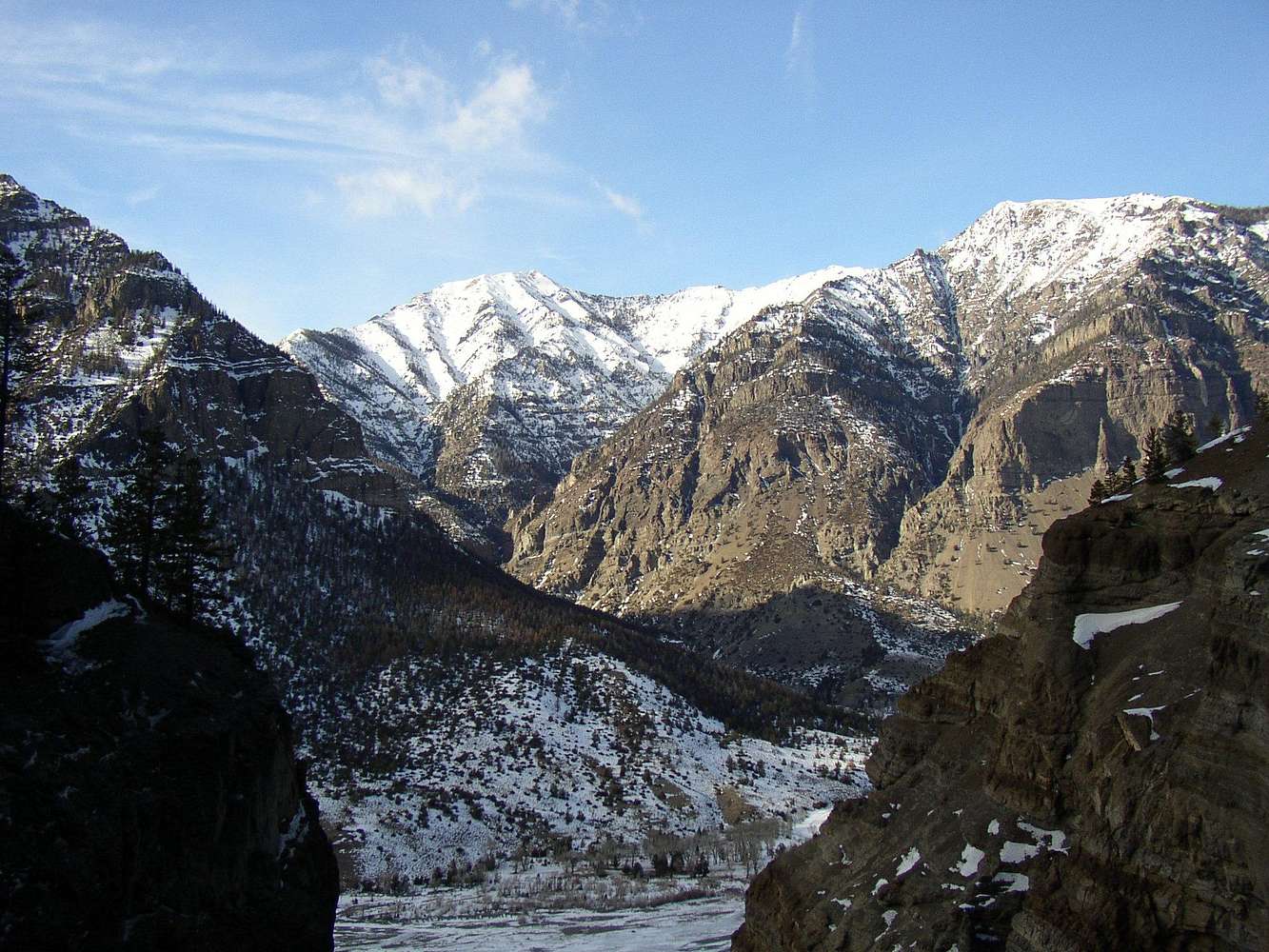
4-Feb-2007: a peak in the Absaroka range, as viewed from the descent from
High on Boulder
(160m, WI4). This is looking up the Cabin Creek drainage.
« PREV
NEXT »
rhyang
on
Feb 25, 2007 5:42 pm
Comments & voting
Other parents
Lat/Lon:
44.12560°N / 109.6346°W
Image Type(s):
Scenery
Image ID:
273041
3675 Hits
79.04
% Score
10
Votes
Log in to vote
Comments
No comments posted yet.
to post!
Don't have an account?
South Fork Shoshone, Cody
(Area/Range)
You are at
the First
Image
Viewing
#1 of 1
GALLERY
You are at
the Last
Image
rhyang's Image Gallery
« PREV
Viewing
#57 of 493
GALLERY
NEXT »
South Fork Shoshone, Cody
(Area/Range)
Loading....
High On Boulder
(Route)
Loading....
×
You need to login in order to vote!
User Name
Password
Remember me
Forgot your password?
Log me out when I close my browser.
Keep me logged in all the time.
sign in as a user
Don't have an account?
Register now for FREE
Rating available
Suggested routes for you
People who climb the same things as you
Comments Available
Create Albums
Register Here


