
-
 4212 Hits
-
 71.06% Score
-
 1 Votes
|
|
Route |
|---|---|
|
|
40.56510°N / 9.64070°E |
|
|
Hike |
|
|
Less than two hours |
|
|
Walk-Up |
|
|
Approach
From the center of Siniscola take the road to Lodè, which heads for Passo Santa Anna. 5km after Siniscola there is a parking place (unmarked) at a right curve. This serves as the trailhead for Punta Cupetti.
Route Description
Elevation Gain: 600m
Duration 1h 30min
Difficulty: Hike
Trailhead: 5km west of Siniscola an SP xxx
Start out from the trailhead on a forest road which leads you to a fount, Funtana Grazianu. Here turn right onto a marked trail which heads west through an old oak forest. After 20min you’ll reach another dirt road, which winds up the mountain and takes you to the next fount, Fonte su Ulidone.
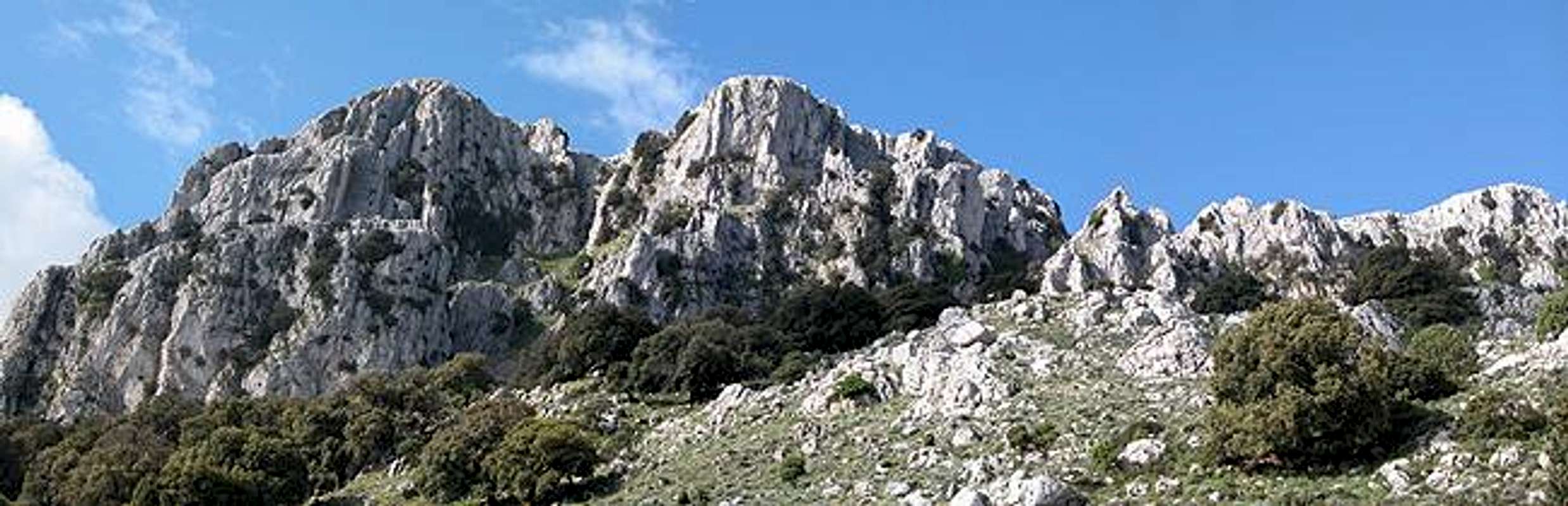
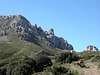
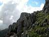
Leave the road here and traverse a slope westward towards the mountain. You will reach another trail (sign: Punta Cupetti) which you follow in south-western direction. It runs along a beautiful ledge and heads for a saddle directly north of Punta su Pigiu, the eastern summit of the Cupetti Range. A little scramble through a narrow gully and you are up on the Cupetti Plateau. Here all trails end. In order to reach any of the summits you just have to cross the plateau and ascend the karst slabs.
I can recommend a Cupetti round trip, starting with Punta su Pigiu and climbing all summits in clockwise direction.Don’t miss out on the Cupetti highpoint (1029m) and the north faces with their bizarre towers.
 |  |  |  |
Essential Gear
Just normal hiking gear is sufficient