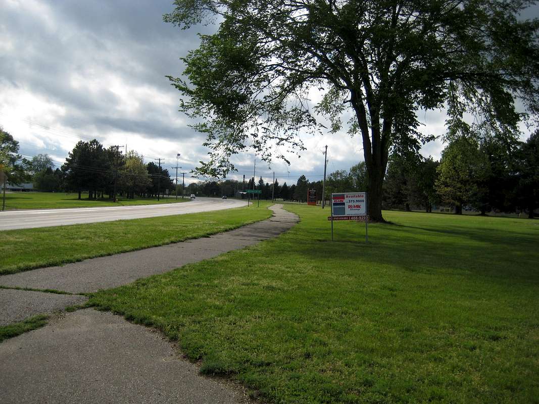
-->ND: This is the start of a potential alternate road connector along Dickman Road; there is a nice sidewalk all the way to where you make a right onto Armstrong Road and follow that to the next trailhead for the Fort Custer National Cemetery.
Map MI-02 shows this part of the certified NCT as a spur, from which the road connector is 0.7 miles back, from which you go west along River Road. It does not make sense to to me to do that.


