While driving through Skyline Drive in December, I noticed that Mary's Rock could be climbed straight up via boulder fields. I decided that as long as the weather remained warm, I could certainly try to climb it straight up the boulders. Heck, it was only a little more than 1,000 feet up.
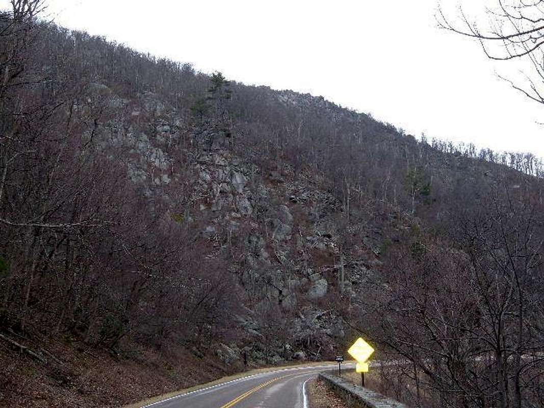
Unable to coax a friend of mine to join me, I pursued what would probably be a dangerous climb on January 10th, 2005. The weather was a perfect 61 degrees and partly cloudy. I started the climb to the right of the tunnel. I followed what seemed like a slight trail for about 20 yards, and then started heading up boulders.
Large boulder fields dominate the 2500'-3000' section of Mary's Rock. They go straight up, and vary in difficulty between class 2 and class 3. After about 15 minutes of solid boulder hopping with a few class 3 moves, I reached the Appalachian Trail. Here, I was near 3,000 feet, so I saw more rocks to climb up, and continued up the boulders. This worked for about 200 more feet. Then, the rock climbing got trickier. I had to make some nasty class 3 moves, including stepping on rotten trees and manuevering around some tricky footholds. At one point I had to use all my strength to pull myself up between two rocks.
The problem with the climb became the thickness of the woods. It would be very easy above treeline, but in Virginia, the higher I went, the more trees! At about 3400' I could tell I was near the summit, particularly because the wind got stronger, and it seemed like there was less and less higher ground. Unfortunately, my options for climbing at this point had diminished, and my climb became a complete bushwhack.
At this point, I tried to limit the rock climbing, because some of the rocks were just outcroppings that would lead me nowhere. Instead, I skirted around the rocks, until I found a small patch of boulders I was convinced were just below the summit area.
I climbed a last set of boulders, and my prediction turned out to be correct. I made it to the summit area where the final trail comes in. Now, all I had to do was to climb the last bit of class 2 rocks to the actual summit. The whole climb took me about 50 minutes. It was pretty windy on top, but not cold or wet. I took in the view at the summit, and headed down the trail, which met the Appalachian Trail.
I descended the AT for about a mile until I was just above the boulder field. Rather than hike all the way down and walk Skyline Drive a mile back to my car, I decided to descend the boulder field back to my car, parked at the Tunnel Overlook.
It took about 15 minutes to descend. I had averted any disaster, but thought to myself that if at any point I will be in danger, it will probably be very near the bottom.
How right I was! Just 20 feet above Skyline Drive, I got tangled in some branches, and lost my balance. I was lying on my back, entangled in branches, with one arm on a rock, preventing any serious fall. Just 20 darn feet from the end of the descent, and I was in trouble!
I managed to regain my balance, and pull myself out of trouble. In retrospect, I should have gone the extra distance towards the top of the tunnel. It would have probably taken another 5 minutes, but would have been safer.
The experience was exhilirating, especially because I climbed the natural way...straight up to the top of the mountain.


Comments
Post a Comment