
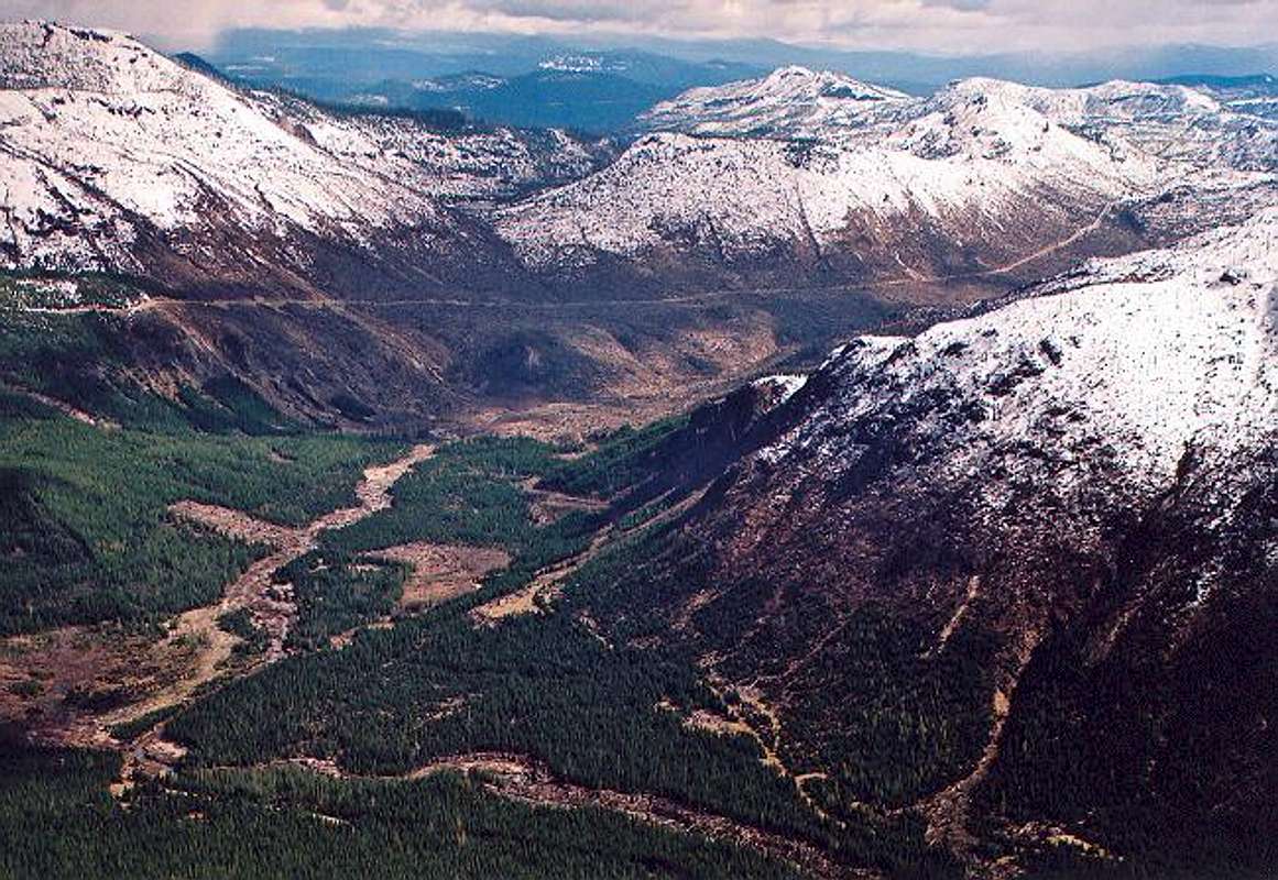
A photo looking roughly...
A photo looking roughly southeast into the Green River Valley south of Goat Mountain. What I would like to point out here is the obvious dividing line between living forest and blown down forest at center. The destruction was caused by Mt. St. Helens, which is 10 miles to the south. The pyroclastic flow leapt the pass at the head of the valley and continued northward for a few miles. A blowdown line is also obvious on Goat's southwest slope. The road in the distance is FR-26. April 18, 2005.


