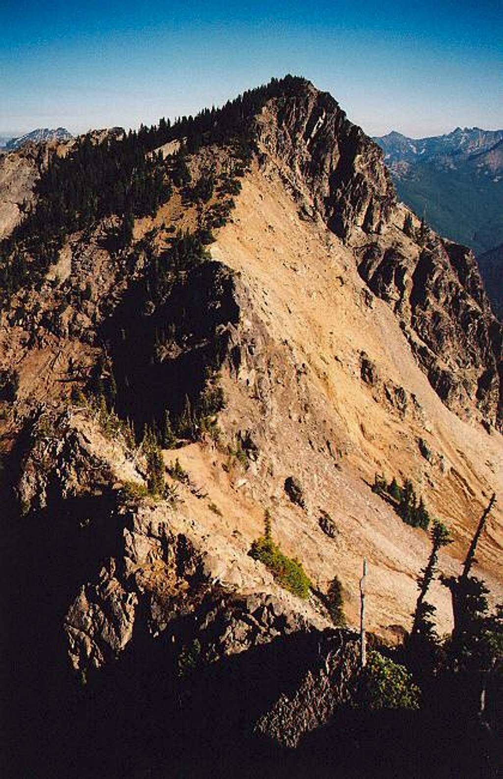
A view of the main summit and...
A view of the main summit and the final, craggy saddle from the west (from Pt. 6480+). The Lake Michael Route comes up from the left. The Davis Peak Traverse Route comes from the right (or over Pt. 6480+). October 22, 2005.


