Agassiz in Autumn

Agassiz in Autumn

Zoom of Agassiz Peak from Lockett Meadows : At 12,356 ft (3,766 m) Agassiz Peak is the second highest mountain in the state of Arizona. The peak was named for Louis Agassiz, a celebrated naturalist. Many visitors to Flagstaff incorrectly assume that Agassiz Peak is Humphreys Peak. This is because Agassiz is between Humphrey and Flagstaff, blocking the view of Humphrey from town, leading many to make this incorrect conclusion. (Source: Wikipedia) The mountain is open to climbers only in the winter, when it is covered in snow. Hiking above timberline at other times is illegal due to the "threatened with critical habitat" designation of the San Francisco Peaks Groundsel (Senecio franciscanus). In this zoom, you can see the switchbacks of the Weatherford Trail. This trail winds up the southeast face of Agassiz on its way to the prominent saddle between Agassiz and Humphreys Peak. October 7, 2009
lcarreau
on Oct 11, 2009 12:10 am
Image Type(s): Hiking,  Flora,  Informational,  Scenery
Image ID: 562395

Comments

Post a Comment
Viewing: 1-1 of 1
lcarreau

lcarreau - Oct 11, 2009 10:41 am - Hasn't voted

Re: Ha!

It's true! A lot of folks seem to always get
their peaks mixed up.

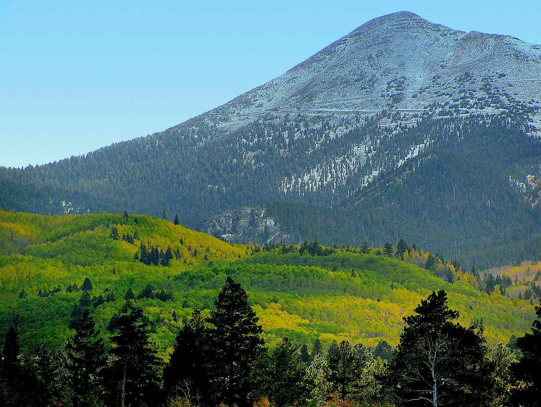
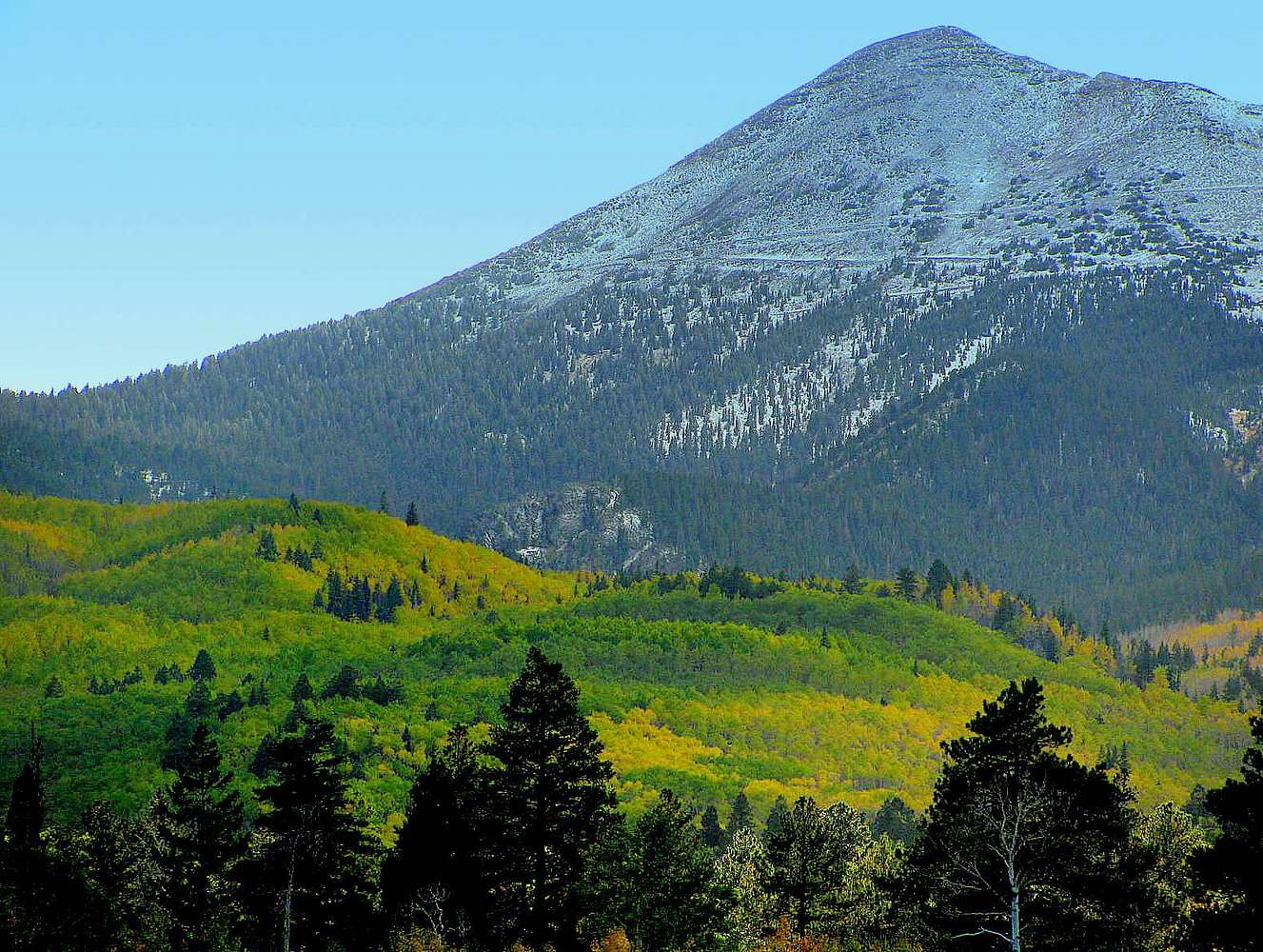
As seen from the east, Doyle has the rounded
top, Fremont has the more pointed top with
gullies coming down the side, and Agassiz has the Weatherford Trail zipping up it's
southeastern flanks.

Humphreys always seems to be "hidden" from
view north of Agassiz.

It would be nice to have a trail going up
Humphreys from the far north side, but the
Native Americans would probably be against it. Have you been up to Lockett Meadows lately ???

Viewing: 1-1 of 1