


Nice Axe! - Jul 14, 2009 10:19 am - Hasn't voted
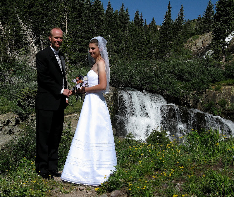
Congratsto Sarah & Dominic! May you continue to know much happiness together!
Thanks for the great TR too!

Bill Reed - Jul 15, 2009 8:19 pm - Voted 10/10
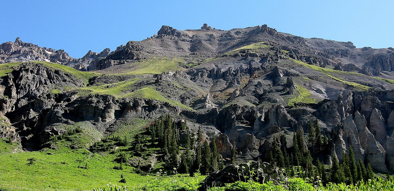
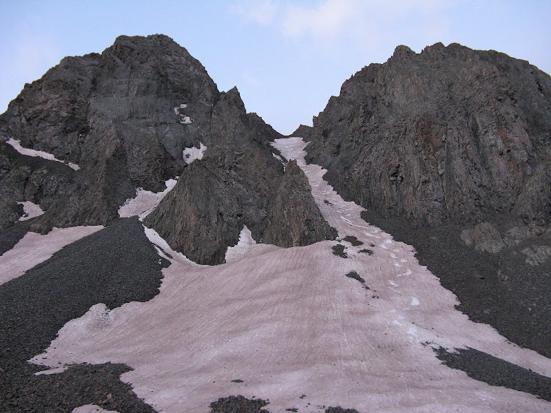
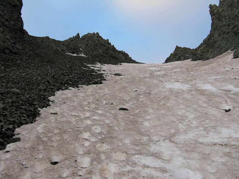
Nice report, and photos!!Snow looks a little on the thin side, especially compared to the northern end of the state.

MarkDidier - Jul 18, 2009 10:23 am - Voted 10/10
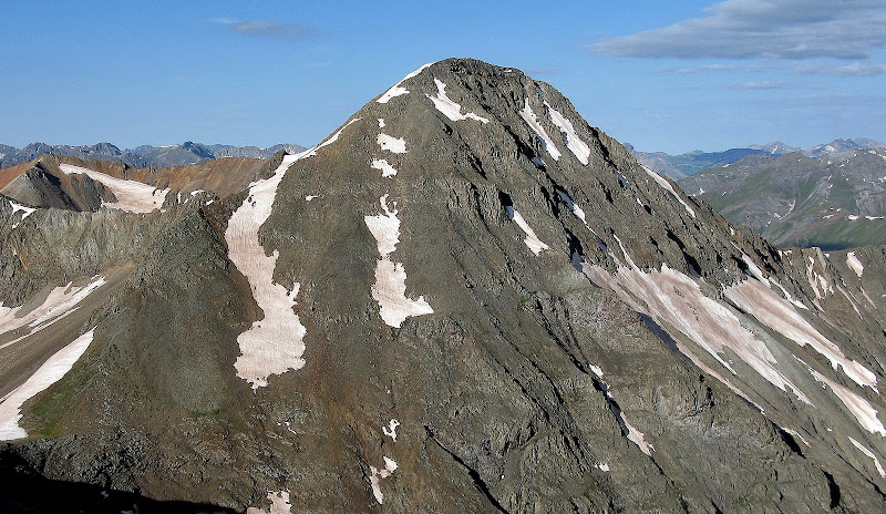
Nice PicsSome beautiful shots here. A nice 13er festival!
Thanks for posting.
Mark

slowbutsteady - Jul 19, 2009 7:00 pm - Voted 10/10
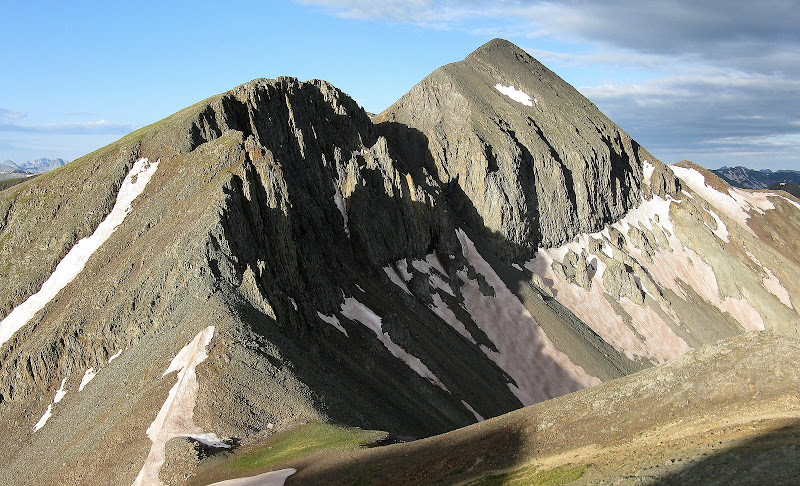
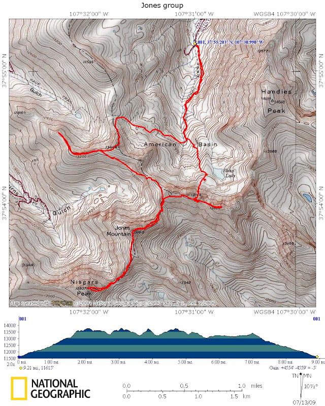
question about image descriptionI really enjoyed your trip report. I have been on Handies three times, two times from the American Basin side. I have a question about one of the images in the slide show, the one in particular where the caption reads: 14ners Handies and Redcloud, with people visible on top of Handies. I believe Handies is in the back center putting Redcloud way off to the right in the image. The pointed peak in the left foreground must be one of the 13ners in your report. Handies is so far back I have trouble seeing people on the summit, not that it matters because the images are wonderful. Thanks for your report!

shknbke - Jul 19, 2009 11:12 pm - Hasn't voted
Re: question about image descriptionThanks for the comment. Handies is the peak in the left foreground as it is very close to the peaks I climbed. The photo was taken from the summit of Jones, so if you look on a map you will see that Redcloud would be to the right of Handies from that vantage point. It sure is a beautiful area!

Aaron Johnson - Jul 19, 2009 7:05 pm - Hasn't voted
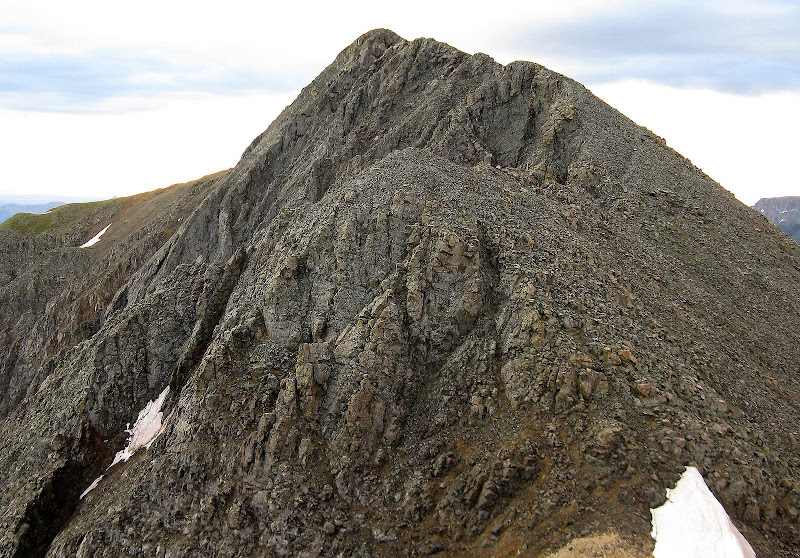
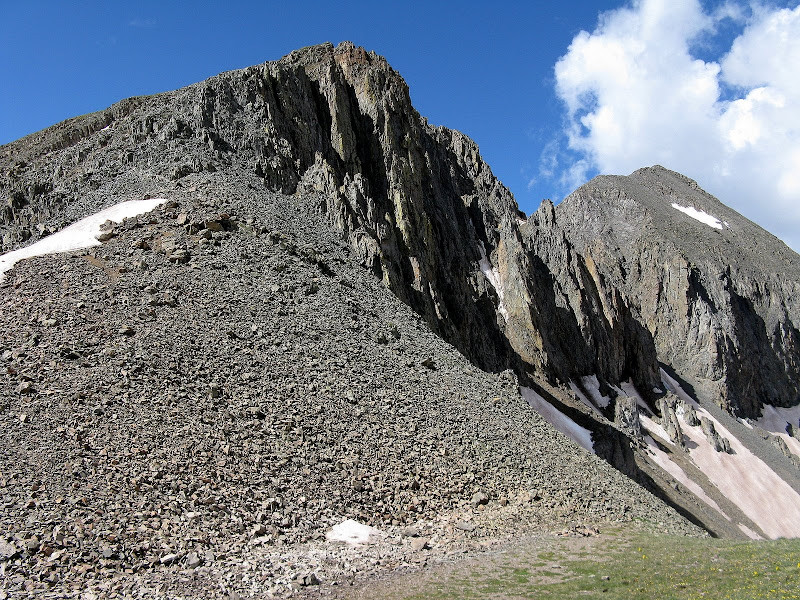
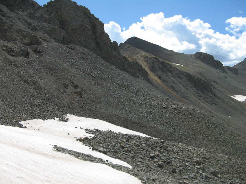
Nice ReportGood route photos for those planning a similar outing. Nice map illustration too. The San Juans are loose loose loose and your pictures illustrate this condition very well. You did right by bailing when you did. The American basin area is a lightning rod. The southern mountains including the San Juan got significantly less snow than the northern mountains this year. More snow would have assisted you in your progress for sure. Ya win some, ya lose some! Thanks for the enjoyable report.

cftbq - Jul 19, 2009 9:42 pm - Hasn't voted
belated congratsYou may not have gotten all you wanted, but, as always, this was a great adventure and a worthy effort. Thanks for the text and photos.

Redwic - Jul 20, 2009 2:59 am - Voted 10/10
This TR is awesome in so many ways!!!The photos, the report, the occasion!!! Thank you for sharing this special time with everyone on SP. *THUMBS UP*
slowbutsteady - Jul 20, 2009 10:21 am - Voted 10/10
question about image descriptionThanks for your reply. You might want to visit Jon Bradford's mountain page for Jones Mountain and look at the image of Jones Mountain and Handies. I believe his is similiar to your image we discussed above and he describes the pointed mountain on the left as Jones and the elongated mountain in the back center as Handies. regards, Charles Baxter
shknbke - Jul 22, 2009 11:38 pm - Hasn't voted
Re: question about image descriptionYou're right. I took that shot from Niagara. I updated the caption. Thanks.

RobSC - Jul 20, 2009 2:51 pm - Voted 10/10
Nice PhotosI enjoyed looking at your pictures of this beautiful area!

Sierra Ledge Rat - Jul 22, 2009 9:56 pm - Voted 10/10
SWEET!Great photos. BTW, did you know that marriage is the leading cause of divorce?

ktiffany22 - Jul 23, 2009 10:58 pm - Voted 10/10
StudHey stud- 25 votes on this one- way to go! Congrats to Sarah/Dominic!
Comments
Post a Comment