Toggle navigation
Mountains
Routes
Images
Trip Reports
Forum
What's New
People
Areas & Ranges
Articles
Trailheads
Canyons
Huts & Campgrounds
Albums
Logistical Centers
Fact Sheets
Lists
Custom Objects
Gear
Plans & Partners
WELCOME TO SUMMITPOST
SIGN IN
REGISTER
Bluebell Lake Peak
Additional Parents
Image
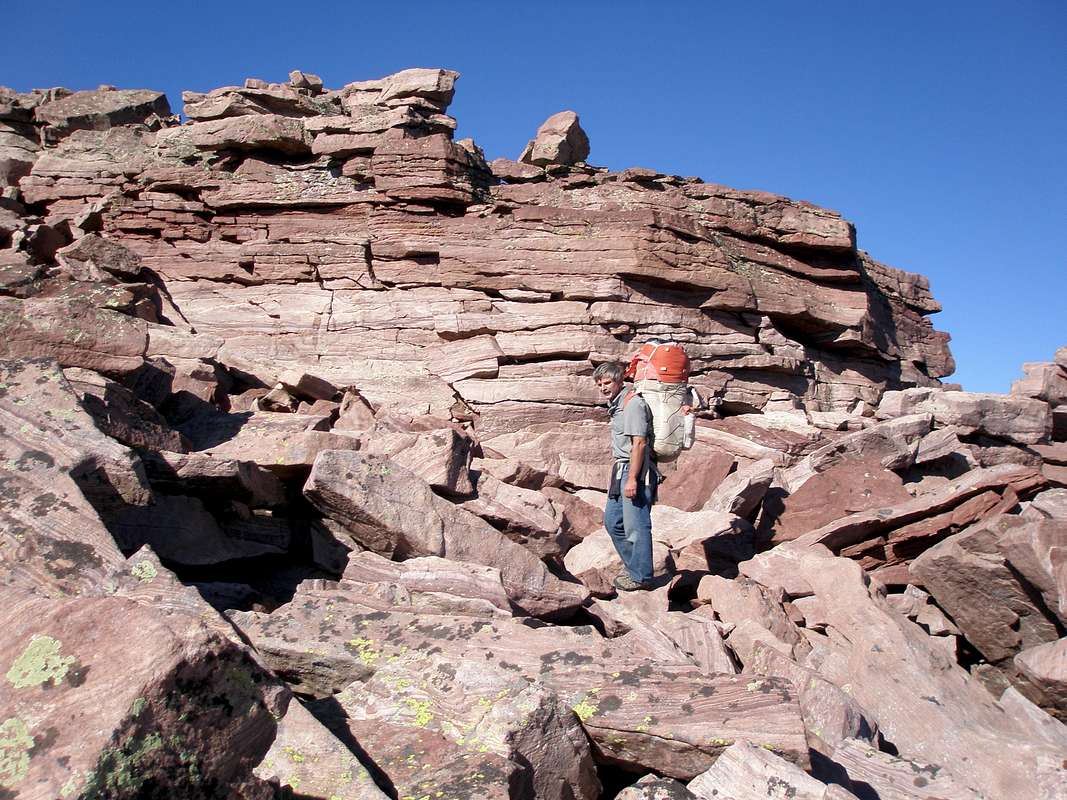
Approaching Bluebell Lake Peak
View High-Resolution Image
Approaching Bluebell Lake Peak
It might be flat on top, but the ridge just south of Bluebell Lake Peak is anything but. 9-7-08
« PREV
NEXT »
ZeeJay
on
Sep 26, 2008 5:47 pm
Comments & voting
Other parents
Lat/Lon:
40.69112°N / 110.5204°W
Image Type(s):
Hiking
Image ID:
446770
3177 Hits
77.48
% Score
8
Votes
Log in to vote
Comments
No comments posted yet.
to post!
Don't have an account?
Bluebell Lake Peak
(Mountain/Rock)
« PREV
Viewing
#6 of 10
GALLERY
NEXT »
ZeeJay's Image Gallery
« PREV
Viewing
#825 of 1388
GALLERY
NEXT »
Garfield Basin Rim Loop
(Route)
Loading....
×
You need to login in order to vote!
User Name
Password
Remember me
Forgot your password?
Log me out when I close my browser.
Keep me logged in all the time.
sign in as a user
Don't have an account?
Register now for FREE
Rating available
Suggested routes for you
People who climb the same things as you
Comments Available
Create Albums
Register Here


