
-
 13394 Hits
-
 76.66% Score
-
 7 Votes
|
|
Mountain/Rock |
|---|---|
|
|
33.75610°N / 117.5362°W |
|
|
Riverside/Orange |
|
|
Hiking |
|
|
3947 ft / 1203 m |
|
|
Overview
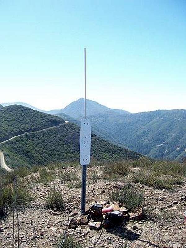
Bald Peak is a little summit that juts out of the main crest of the Santa Ana Mountains. The peak has a classic sugarlump like profile as it rises from a bend in the North Main Divide Road. The peak marks the turning point in boundary lines between Riverside and Orange counties. Bald Peak in on the Sierra Clubs Lower Peaks List. The peak can be basically a drive up to high clearance vehicles. The peak would make for a nice fireroad mountain bike ascent. If hiking the peak take care of offroad vehicles that frequent the road and to bring sun protection bceause there is no shade at all. On clear days the peak has nice views of the Inland Valley and the surrounding higher mountain ranges. Other nearby Lower Peaks that would be good for combining trips to are Bedford Peak, Pleasants Peak, and Sierra Peak. Also list Hundred Peaks nearby are range highpoint Santiago Peak and Modjeska Peak.
Getting There
Take I-15 to the city of Corona and exit at Weirick Road. Turn right at the end of the off ramp and turn left onto Knabe Road. Drive about a 1/2 mile where on your right you'll see a truck yard. Just north of this fenced in yard you'll see a narrow road. You'll see a sign that says Bedford Motorway, turn right here or park along the roadside.Route
 |
 |
Driving/hiking/riding on Bedford Road you'll pass through a new housing developement and golf course. After about 2 miles you'll pass a gate with a sign reading 4S03, this is Bedford Road. At a little over 6 miles from the start of the Bedford Road you will reach the Main Divide Road. Turn left and continue for a little over a mile. At this point the Main Divide Road makes a 90 degree turn to the south, the peak overlooking this turn is Bald Peak. From the turnout at the base of the peak there is a steep firebreak that leads quickly up to the open summit.
Roundtrip for Bald Peak is 14 miles and +3000 feet of gain.
Red Tape & External Links
Bald Peak is on the Lower Peaks List.For current conditions Cleveland National Forest.