
-
 5759 Hits
-
 81.84% Score
-
 14 Votes
|
|
Mountain/Rock |
|---|---|
|
|
45.79140°N / 7.44280°E |
|
|
8606 ft / 2623 m |
|
|
Overview

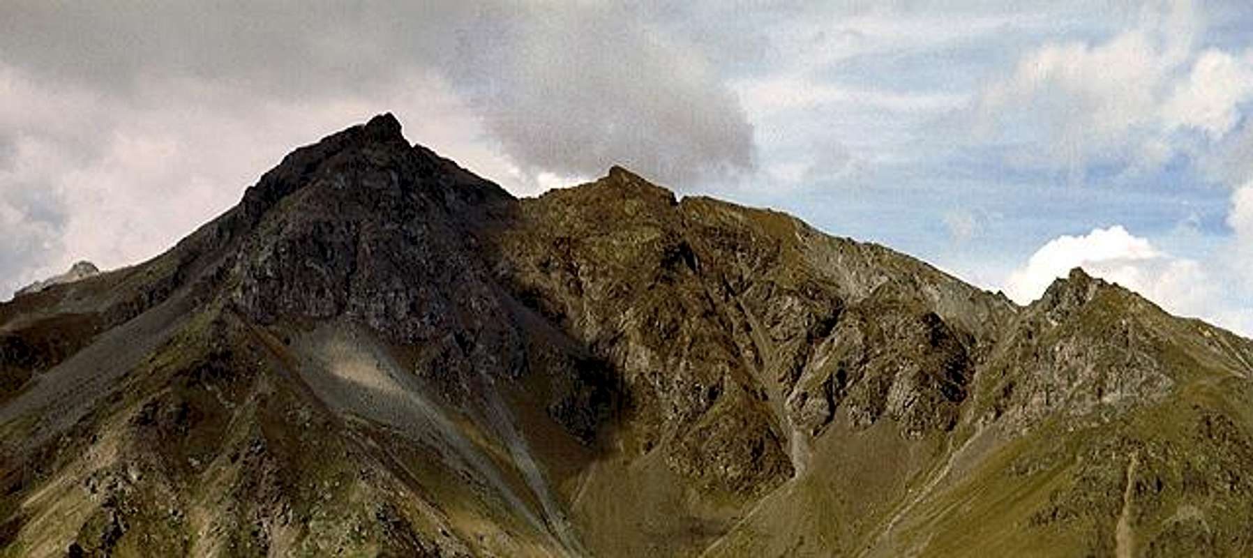
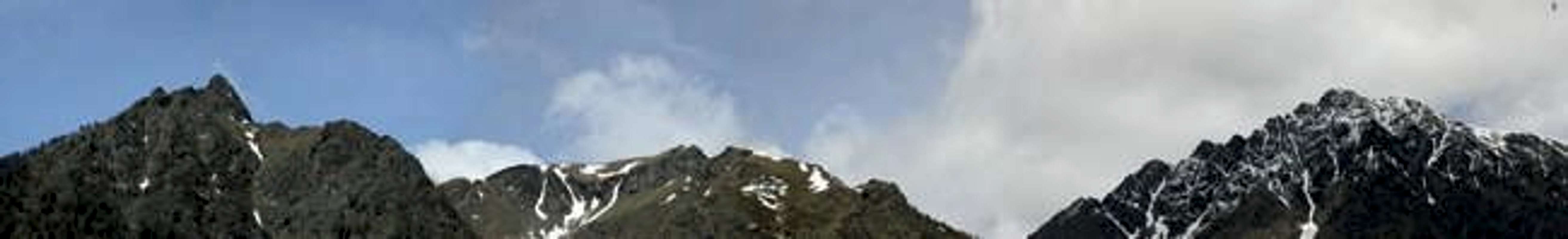
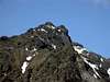
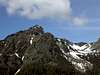
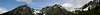
Becca d'Avuille (which on some maps is spelled Becca d'Avouille) is - much like Becca d'Aver one of the lower summits towering obove Valle d'Aosta to its north. It is even more centrally located than Becca d'Aver so that it offers very nice views to all the giants in the south and southwest. Reaching the summit, however, is not quite as easy but most of the ascent runs along regular hiking trails.
Becca d'Avuille is the southernmost (and lowest) outpost of the ridge that runs between Valle di St. Barthélmy to the east and Valpelline to the northwest. The ridge consists of more than one ridgeline, especially in the south where t divides into two parts, one ending at Becca d'Avuille, the other at Becca di Viou a little bit more to the west. This is another perfect viewpoint summit which would deserve another page here on SP.
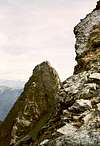
The final approach to Becca d'Avuille is a rocky somewhat exposed scramble - there is a tower to the east side of the main summit which might be the highest point but for which you certainly need a little climbing experience. Other than that the ascent route poses no serious problems, except that orientation sometimes is a little difficult. There are two sensible trailheads, one on the Valle d'Aosta side at Trois Villes, the other in Valle di St. Barthélemy in Lignan.
Be prepared to have this great place to yourself!
 |  |  |  |  |
Getting There
Take Motorway A5 either from Torino or from the Mont Blanc tunnel. Depending on the trailhead you can either leave A5 at Aosta Est (Trois Villes) or Nus (St. Barthélmy).
From Switzerland take the Gd. St. Bernhard Tunnel to get to Aosta. Shortly before Aosta take the tunnel leading southwest which leads you to SS26 at the exit Aosta Est of the motorway A5. This again goes parallel to A5 and leads to Nus.
Valle di St. Barthélemy trailhead at Lignan
From Nus take R36 into Valle di St. Barthélemy. The Road climbs to the village Blavy from where it flattens and leads more or less straight on to the hamlet of Issologne. It makes a sharp turn to the south and climbs back to Lignan. Here a number of hiking trails start. The one you want is marked No 9.
Valle d'Aosta trailhead at Trois Villes
From the exit Aosta Est of the motorway A5. Go into the village of Villair, there turn east in direction St. Barthélemy. At Argnod turn into a small side street which leads to Trois Villes. Go to the last of the three villages, Fonteil. Start the ascent by following the road further on into direction Colle di St. Barthélmy. The trail to Becca d'Avuille is marked No 5.
 |  |  |  |  |
Red Tape
No red tape, no closures, no parking permits
 |  |  |  |  |
When To Climb
Becca d'Avuille can be climbed all year round. Actually part of the trail from Trois Villes is denoted a bike trail. The ski tours usually leave out Becca d'Avuille but except for the final ridge a ski ascent in winter should pose no problems
 |  |  |  |  |
Accommodation
The climbing of Becca d'Avuilledoesn't take much longer than three hours so that no overnight accomodation is neccessary. Within the valley you'll be able to find lots of hotels and appartments. More info at
 |  |  |
Mountain Conditions
For weather conditions check with the Valle d'Aosta Meteo site.
Maps 'n' Books
I have used the following book, which unfortunately again is in German. Since Rother Verlag translated a lot of their titles to english it remains a question of time until this really very good hiking guise will be available in english as well. Please let me know of any other titles .
Books
Aostatal
J. Führer
Rother Verlag
ISBN: 3 7633 4033 5
Maps
Breuil-Cervina / Zermatt
Kompass Map WK87
Kompass Verlag
ISBN: 3 85491 095 9