
|
|
Mountain/Rock |
|---|---|
|
|
43.94880°N / 121.26919°W |
|
|
Deschutes |
|
|
Hiking |
|
|
Spring, Summer, Fall, Winter |
|
|
4768 ft / 1453 m |
|
|
Overview
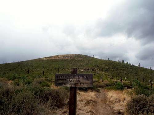 Bessie Butte from the trailhead
Bessie Butte located southeast of Bend Oregon is an interesting cinder cone that is linked to the Newbury Caldera just south. The cinder cone itself stands 500 feet above the base floor and can be easily recognized by many of the nearby mountains in the region. Due to a forest fire back in both 2003 and 2007 this summit area is now completely bald and now only bushes are growing on the cinder cone. You can still see many of the old burnt up areas when you head next to Bessie Butte. Therefore the landscape of this cinder come is not the most desirable.
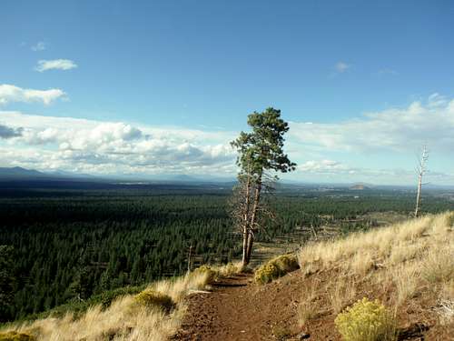 Isolated tree on the trail
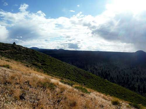 The Bessie Butte Slope
I ended up picking this summit as a bailout due to many of the other mountains in the region being hit hard by rain and thunderstorms. Therefore I believe this peak may fit the bill as a bailout peak in case of bad weather. You though would not want to choose this thunderstorm to hike up while a severe thunderstorm is going on or during the summer midday heat of the Oregon high desert.
 Thunderstorms on Newbury Caldera
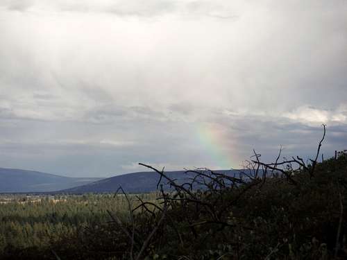 Rainbow on the eastern mountains
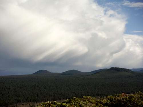
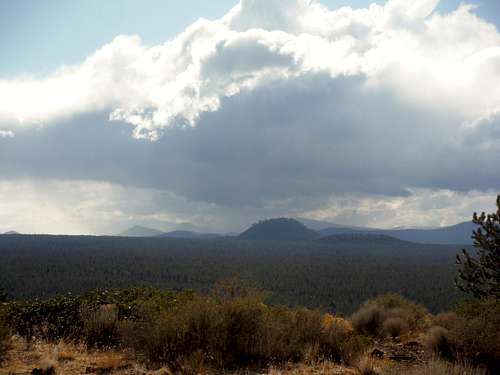 Storms developing over the Cascade Mountains
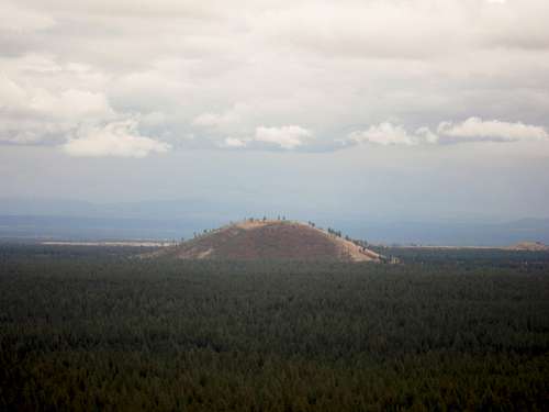 Bessie Butte from Lava Butte
Getting There
From Bend you want to go south on Highway 97. Take the exit Knott Road and head east. Stay on Knott Road for 1.5 miles until you run into China Hat Road. Make a right onto China Hat Road for and go for about 4.5 miles. Make a right onto Forest Road 1810 which will be a gravel road. Parking for the Bessie Butte Trail will be on your left and the actual trail will be on your right.Route
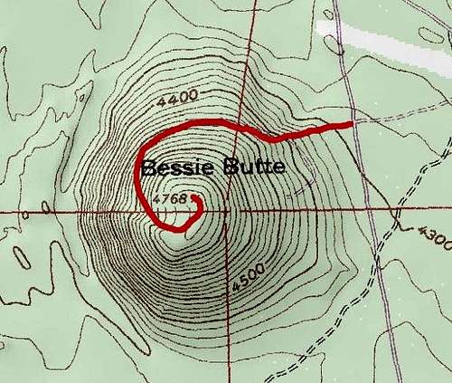 Map of Route
 Essential hiking footwear!!