
Black Canyon of the Gunnison Backcountry Hiking Map (Extract) | [ Sizes: Orig | Large | Med | Small | Thumb ] | |||
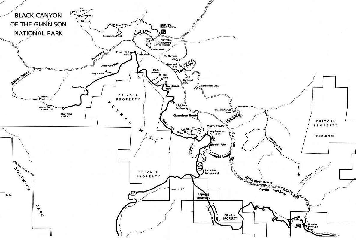
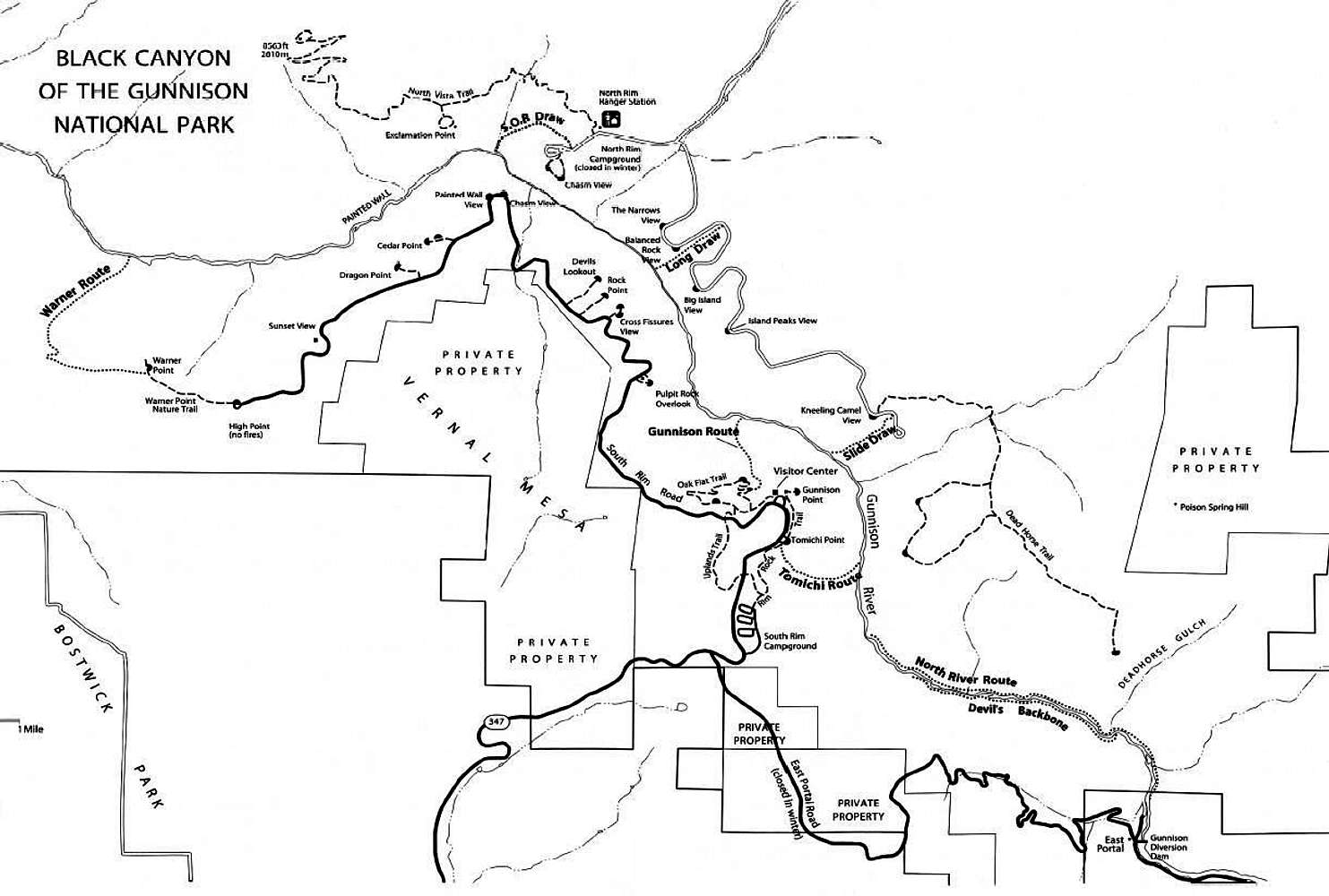
This is a reduced-size image of the National Park Service's Black Canyon of the Gunnison Backcountry Hiking map. Download the full-size map from the park service here (.pdf file). Comments |
Image ID: 253277 Hits: 1115 Lat/Lon: 38.44498°N / 107.41333°WImage Type(s): Hiking, Topo/Diagram |