
|
|
Mountain/Rock |
|---|---|
|
|
48.14160°N / 121.5177°W |
|
|
Snohomish |
|
|
5306 ft / 1617 m |
|
|
Overview
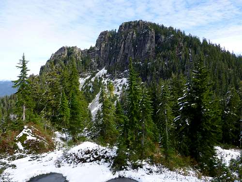
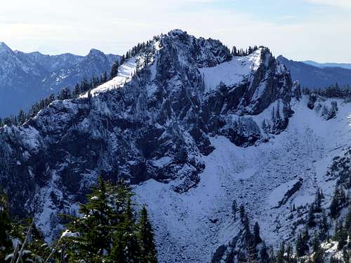
Bluegrass Butte from the southwest
Getting There
Drive the Mountain Loop Highway east from Granite Falls for 26 miles to the Coal Lake Road (FR4060). Turn left onto this road, follow it 4.8 miles to the end, and park at the trailhead for Independence Lake (elev 3580'). Hike FS trail #712 0.8 miles to Independence Lake (elev 3720'). From here, take FS trail #712.1 towards North Lake. Hike for 1.5 miles to the ridge crest south of point 5072' (don't be fooled by the minor ridge crest 0.3 miles before this point on the west side of Point 5072'). At this point, you will notice the climber's path leading right towards Independence Peak. Continue straight ahead on the main trail towards North Lake for 0.25 miles, until reaching a sharp right switchback (you will descend slightly and go through a small switchback before getting to this point, just don't make the big drop towards North Lake).Route
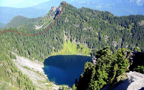
Bluegrass Butte from Independence Peak. Red line shows approximate scramble route.
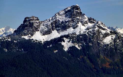
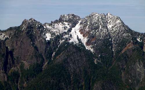
White Chuck Mountain from Bluegrass Butte
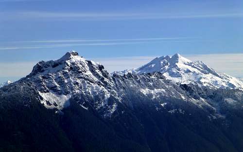
Mount Pugh and Glacier Peak from Bluegrass Butte
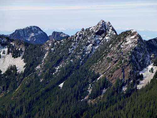
Independence Peak from Bluegrass Butte
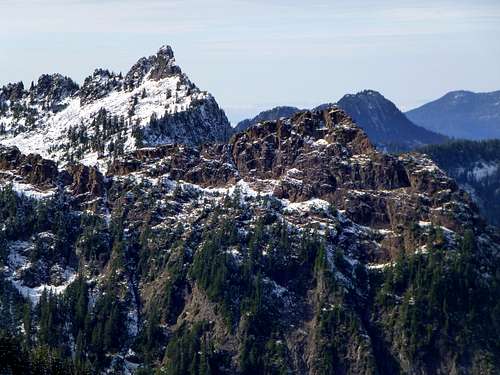
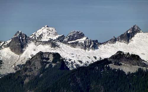
Devils Peak and Devils Thumb from Bluegrass Butte
Helena Peak from Bluegrass Butte
East side of Three Fingers from Bluegrass Butte. Summit of Voodoo Peak at bottom of photo.
Salish Peak, Mount Bullon, and Ohio Peak from Bluegrass Butte
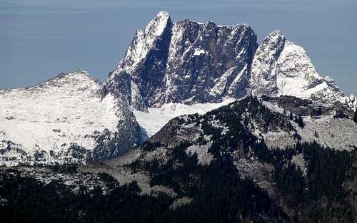
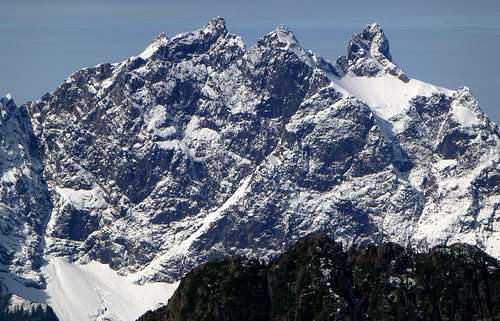
East side of Whitehorse from Bluegrass Butte
Jumbo Mountain from Bluegrass Butte
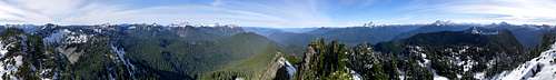
Bluegrass Butte summit pano
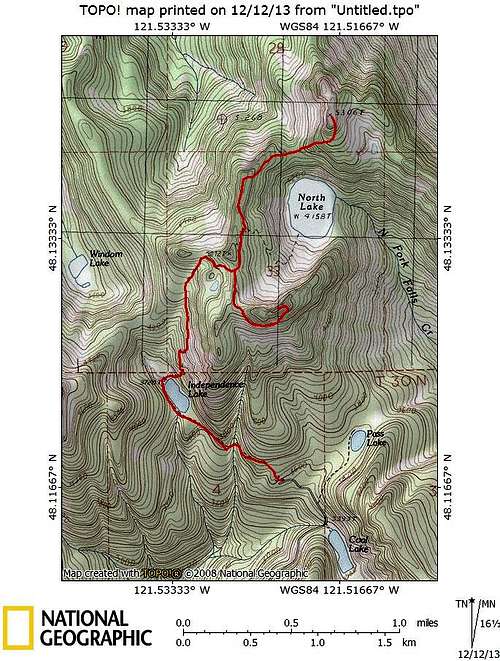
Independence Peak/Bluegrass Butte route map
Red Tape
A Northwest Forest pass is required to park at the Independence Lake trailhead.When to Climb
The Independence Lake Trailhead lies at 3600' - it will usually be snow-free from July to October.Camping
Independence Lake or North Lake would both be great for camping in this area. From looking at photos and maps, one could most likely make an ascent of Bluegrass Butte by circumnavigating North Lake counter-clockwise and climbing the south slope, but this has not been tested by yours truly. Circumnavigating North Lake clockwise does not work, due to cliff bands on the west side of the lake.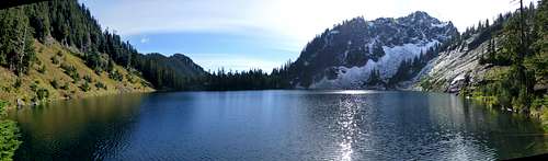
North Lake and Independence Peak