-
 17021 Hits
-
 73.06% Score
-
 3 Votes
|
|
Route |
|---|---|
|
|
45.84716°N / 114.34189°W |
|
|
Hiking, Mountaineering, Scrambling |
|
|
Spring, Summer, Fall |
|
|
Most of a day |
|
|
Class 3 |
|
|
Strenuous |
|
|
I |
|
|
Overview
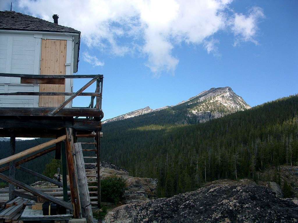
Route Type – Scrambling
Class Level – Class 3
Elevation – 9,804’
Gain – 4,823’ (round trip)
Distance - 5.7 Miles (one way)
Length of time required to complete route – One day
The first portion of this route is the ascent to Boulder Point, described below and on the Boulder Point mountain page. The remainder of the route includes bushwhacking through an open forest of Whitebark Pine, followed by a scramble around a cirque (lots of side-hill), and a gully climb. It finishes with rock hopping up and over rock and talus to the summit. The route is long and strenuous but quite enjoyable. I found the hike through the open woods above Boulder Point especially nice.
Boulder Peak, at 9,804’, is the fourth highest point in the Bitterroot Mountains just west of the Bitterroot Valley. It lays along a west-northwest ridge crest just south of Trapper Peak and the Boulder Creek Drainage and shares that ridge with two other points above 9,000’ – Point 9442 (Boulder Peak - East) and Point 9334 (Boulder Peak - West). Boulder Peak’s summit can be accessed from several points but is most often visited from the Boulder Point Trailhead.
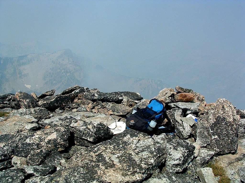
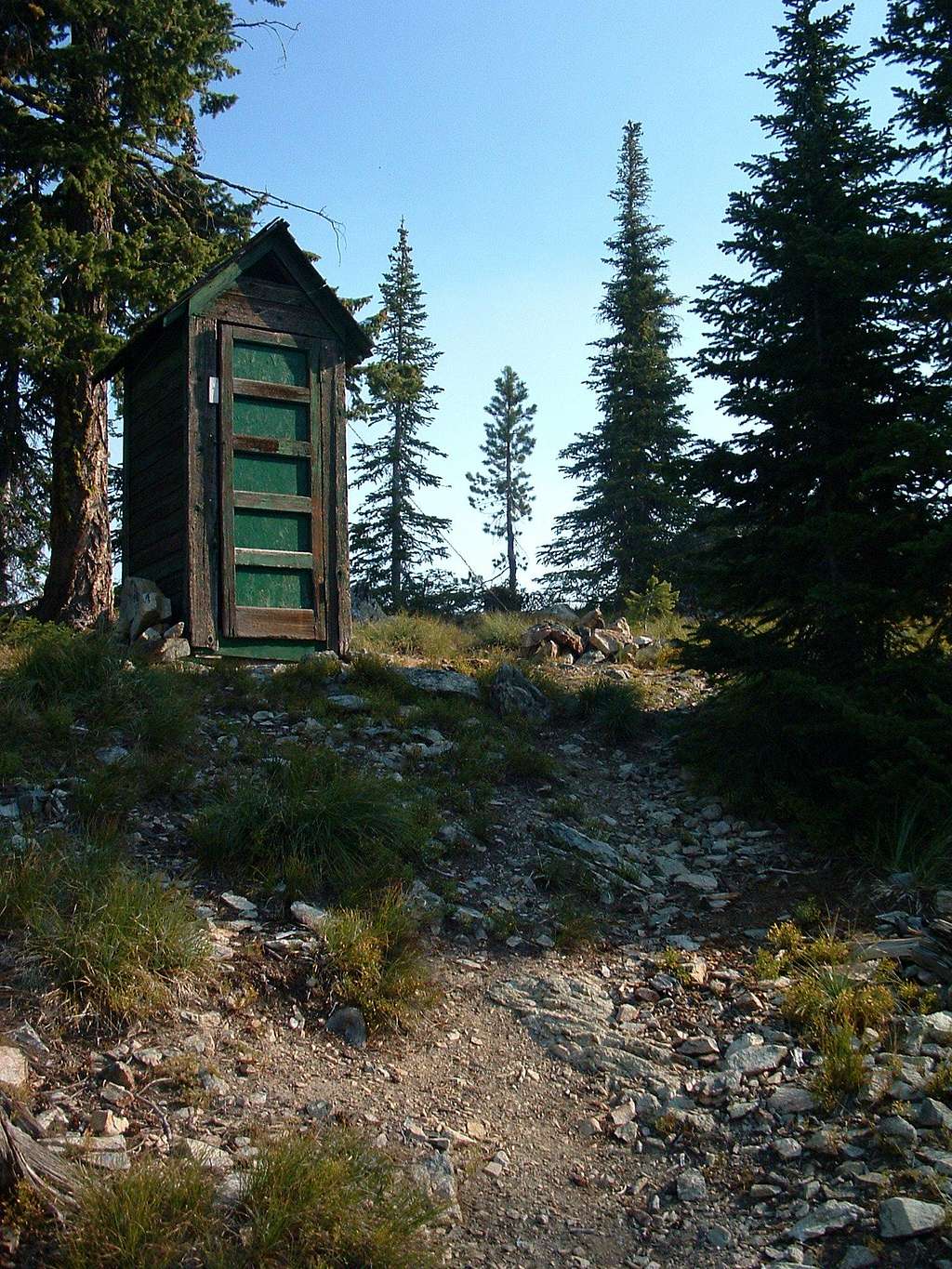
Boulder Point is home to a lookout tower which is no longer in use by the Forest Service but is in the process of being brought up to snuff by a ski club whose members use it for winter outings. At this point the lookout is available to anyone, no fees or reservations, first come, first serve. There is a wood stove for heat, pots and pans for cooking, and minimal sleeping gear for a couple of people. One nice feature is the existence of an operational outhouse a few yards away which even includes toilet paper, a real surprise on a any summit!
On 24jul05, Montanaboy (a fellow SPer) climbed Boulder Peak by way of Nelson Lake Trailhead and left a new summit register. When I visited the summit on 24aug06, only three others had signed the new register since then; I was the fourth. Obviously, few people make the effort to reach this remote summit. Its remoteness, Up the West Fork”, is one of the reasons. Another has to be, the lung-busting effort required to reach any point of the ridge crest on which Boulder Peak lays. Of course the fact that no discernable trail leads to its summit may also be a contributing factor to its loneliness.
Getting There
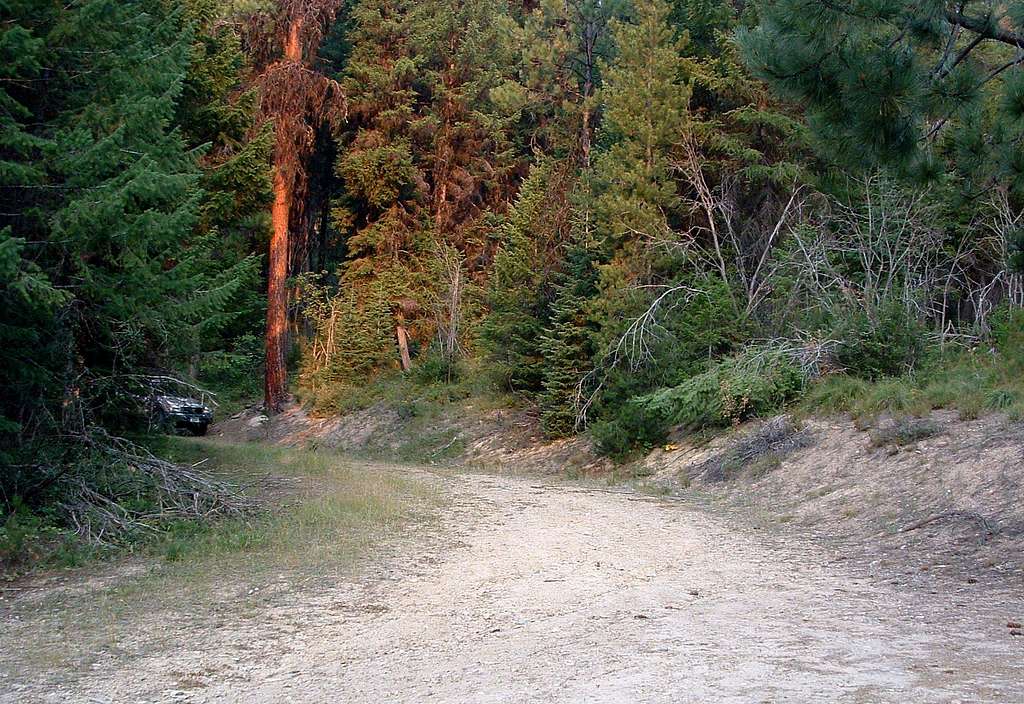
From Darby, MT, go south on Hwy 93 just under 4.5 miles and turn right (southwest) onto Montana Highway 473 (West Fork Road). Drive past mile marker 13 and turn right (northwest) onto Barn Draw Road (373) - the second road on your right.
Continue on Barn Draw Road for almost 2 miles to a signed junction and turn right (northeast) following the sign for Boulder Point Trailhead. The road will end at the trailhead in just over a mile.
The trailhead is now marked and there is parking for several vehicles.
There are no restroom facilities.
Route Description
Approach - The Trailhead to Boulder Point
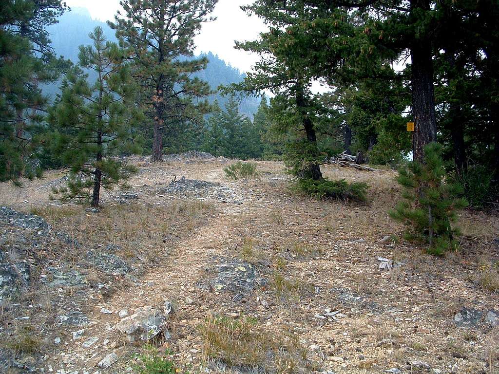
The route to Boulder Point goes in a southeasterly direction from the trailhead for about a quarter of a mile before turning almost due north and ascending sharply up and over the rather barren School Point on a sometimes difficult-to-discern trail. If you lose the trail here, just keep moving north and you will soon see it again as it enters an area with a little more greenery.
At this point the trail turns in a more westerly direction and enters patches of very thick woods. About .75 mile from the trailhead the trail enters a series of switchbacks and ascends an especially steep section before once again turning west and traversing from about 6,000’ to 6,400’.
Another section of steep switchbacks begin about 1.25 miles from the trailhead as you move upward to 6,500’. This is followed by steep trail taking you up another 800’ as you traverse west over the mountain's side.
The last half mile of trail goes directly north and straight up the mountain to the small saddle just west of the lookout – not a switchback in sight. This is undoubtedly the steepest section of the trail and will thoroughly test your legs. The fact that the outhouse sits in the saddle directly in your path as you reach the ridgeline, suggests to me that the builders of the trail (and maybe the outhouse) had a twisted sense of humor.
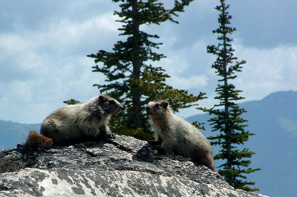
Some guide books suggest the length of the trail from trailhead to Boulder Point is around 2.25 miles. My GPS measured it as 2.7 miles with 2,629’ of gain. Since the same books describe the trail as generally following the ridgeline from School Point to Boulder Point and this is absolutely not the case, I can only assume the trail has been re-engineered to include more switchbacks since their publication.
In any case, this is a difficult hike which requires strong lungs and legs plus a good deal of stamina. No water is available along the trail, so you must carry whatever you believe you will need.
Climbers' Route - Boulder Point to Boulder Peak
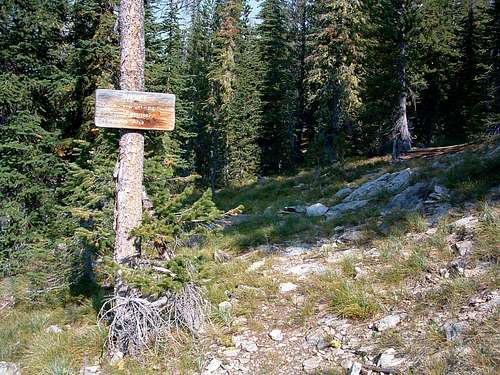
The route begins just south of the Boulder Peak outhouse near a Selway-Bitterroot Wilderness sign. You will see a faint trail for the first few yards, but it quickly disappears. Unless you want to hit all the ridge highpoints as part of your expedition, you should hike through the open forest in a direction which is just slightly north of due west. (As you can see from the 3D Topo below, I got a little off course and went too far north.)
You should just skirt the southern edge of the north wall of the Boulder Creek Drainage about halfway between Points 8253 and 9442 (Note: Most maps show the 9442 highpoint as 9370 because that is what was surveyed. The "actual" highpoint is higher and a little west of the surveyed mark.) If you go right to the edge of the canyon, there is a great view of Trapper to the north.
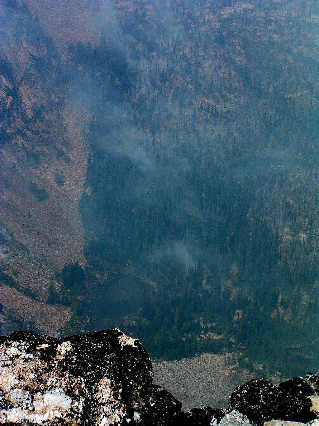
Your elevation at this point should be close to 8,200’. Here again, the best line is just slightly north of due west. Unfortunately the forest is just thick enough that you can’t see the point to which you are heading. You will probably have to use a compass or GPS to keep a good line. If you follow the line perfectly, which I didn’t (I went a little too far south and had to correct – see 3D Topo), you will exit the forest at the edge of the cirque at around 8,700’. This portion of the route is a long and gentle uphill hike during which you gain only 500’. Rather enjoyable, I thought.
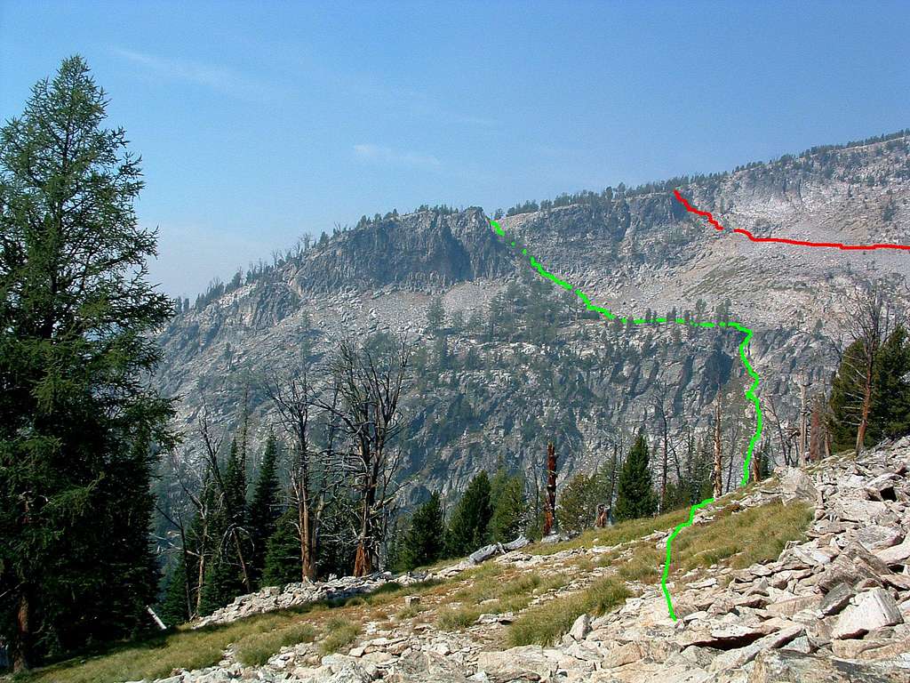
When you reach the cirque begin studying its western wall. On the south end you will see an obvious gully which reaches all the way from the bottom of the cirque to the ridge crest. Unless you’re planning to drop into the bottom of the cirque by (ugh!) giving up and regaining elevation, that is not the gully you want. Rather, you want a smaller gully a bit further north in the west wall which does not reach the floor of the cirque. It’s a bit hard to discern at first, but as you circumnavigate the cirque to its north end, you will be able to easily pick it out.
Once you’ve found it, take a minute or two to pick a line from your position on the north end of the cirque to the point on the gully of your choosing. The elevation at the point where I accessed the gully as very close to 8,900’. Even if your position on the north end of the cirque is as low as 8,700’, you only have 200’ more feet of elevation to gain as you side-hill the remainder of the cirque.
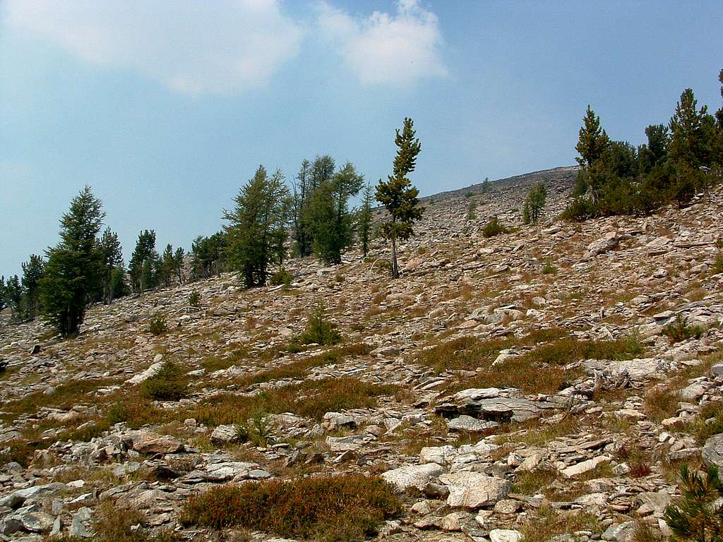
The climb up the gully is pretty straight forward, less than 100’ (probably closer to 50’) in spite of a bit of scree. There is plenty of solid rock plus a few trees to grab onto. And it’s not very steep either. Once you exit the gully onto the ridge, you will have all the "climbing" behind you.
Your line from the top of the gully to the summit will be to the northwest. You may believe you see the summit just to the north, but it’s only a highpoint along the ridge crest. Begin hiking northwest through a very open forest of whitebark pine and larch. In fairly short order you will reach the tree line and see a continuing field of talus and small boulders. Keep your line as well as you can while rock hopping. Several times before you reach the summit you will think you’re almost there. Wrong - just especially high piles of rock.
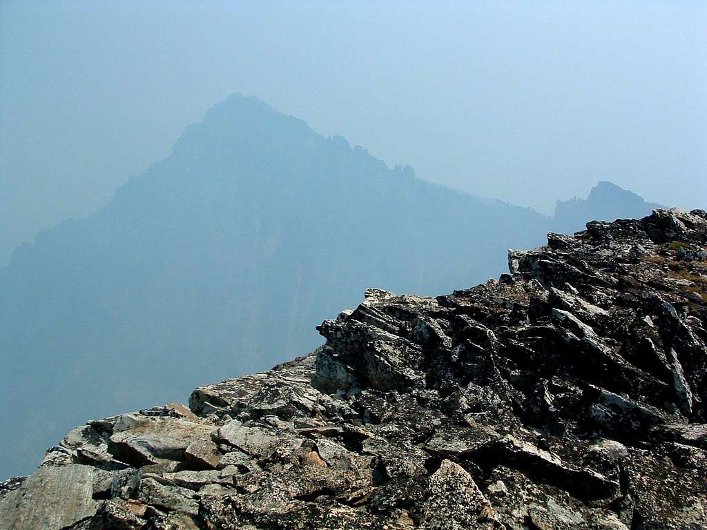
Of course, you will eventually see the true summit, and if you got off line along the way, (fooled by false summits), it won’t take much of a correction to reach the smallish summit cairn. Feel free to build it up by adding a few rocks.
If it’s not too smoky the day you visit, enjoy the great views, take some pictures for your trip report, then sign the register left by Montanaboy while you rest and refuel. I’m sure he’d also appreciate a PM from any SPers who make it to the summit.
Essential Gear
Take your normal hiking and scrambling stuff. Plus take plenty to drink because there is no water available anywhere on this route.
When to Go
Unless you're very experienced and skilled on snow and ice, I'd suggest this route is limited to travel during seasons other than the dead of winter.
Other than while circumnavigating the cirque, there is little danger of avalanche along this route. BUT, the walls of the cirque are steep and I saw evidence of recent avalanche activity. Think twice before entering the cirque under snow conditions; my advice is, don't do it!
Route Statistics

Summit – 9,804’
Gain – 4,823’
Distance – 5.7 miles(one way)


