
-
 4290 Hits
-
 71.71% Score
-
 3 Votes
|
|
Mountain/Rock |
|---|---|
|
|
10.35717°S / 76.90044°W |
|
|
Hiking, Mountaineering |
|
|
Winter |
|
|
16663 ft / 5079 m |
|
|
Overview
Cerro San Antonio Este is a marvelous viewpoint on the southern side of Siula Grande, Nevado Yerupaja and many other giants of Cordillera HuayhuashGetting There
This mountain can be accessed easily during the 10 to 14 days trekking around Cordillera Huayhuash. A perfect map for this trekking trip is the excellent map 0/3c Alpenvereinskarte Cordillera Huayhuash of the Austrian Alpine Club (scale 1:50,000).Route
Cerro San Antonio Este is about 200 meters air distance west of the 5020 meters high col San Antonio (GPS coordinates: S10 21.389 W76 53.926), which is traversed on the Huayhuash trekking. There is a good path from the San Antonio camp to the col of about 2.5 hours walking.
The camp San Antonio with the western wall of Nevado Cuyoc (5550 meters sea-level)
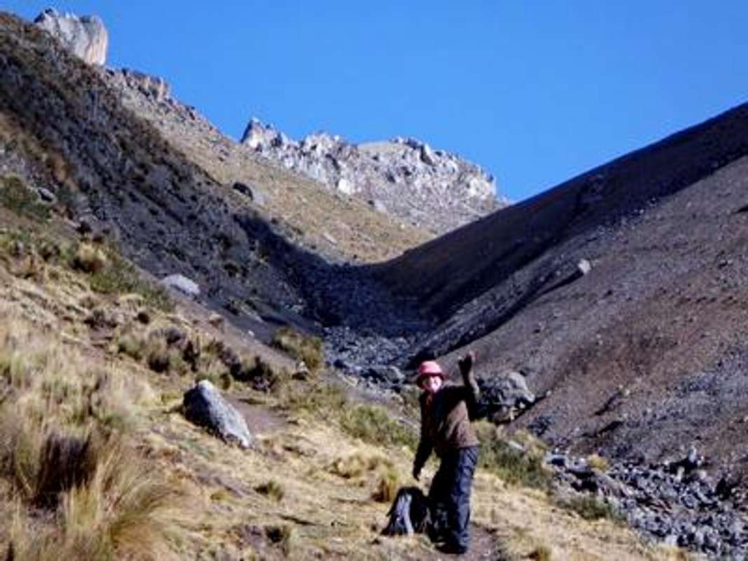
On the way to the col San Antonio with Cero San Antonio Este in the center
Nevado Rasac and Nevado Yerupaja Grande seen from the col
In the direct line between the col to the summit is a small rocky band where we had to scramble a little bit (Grade II to III). On the top we detected a good and well marked path on the northern side and along the rocky band back to the col. The views from the top are stunning.

Enjoying the spectacular views from the summit
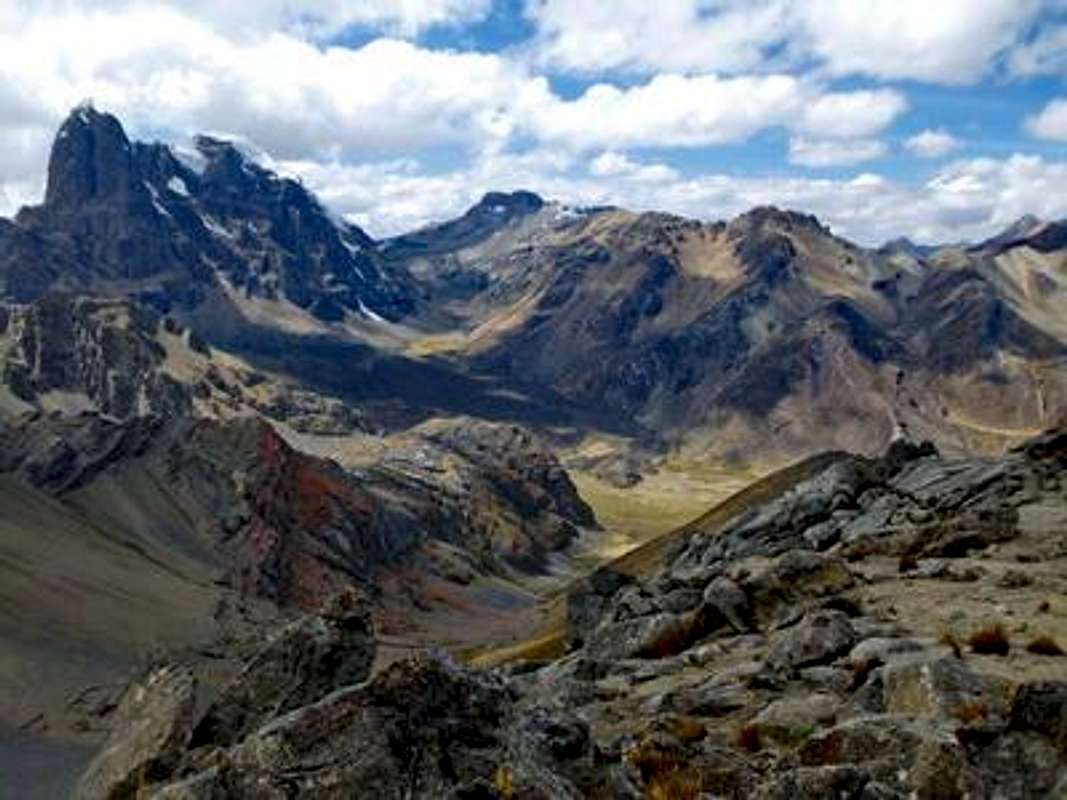
View to the South with Nevado Cuyoc

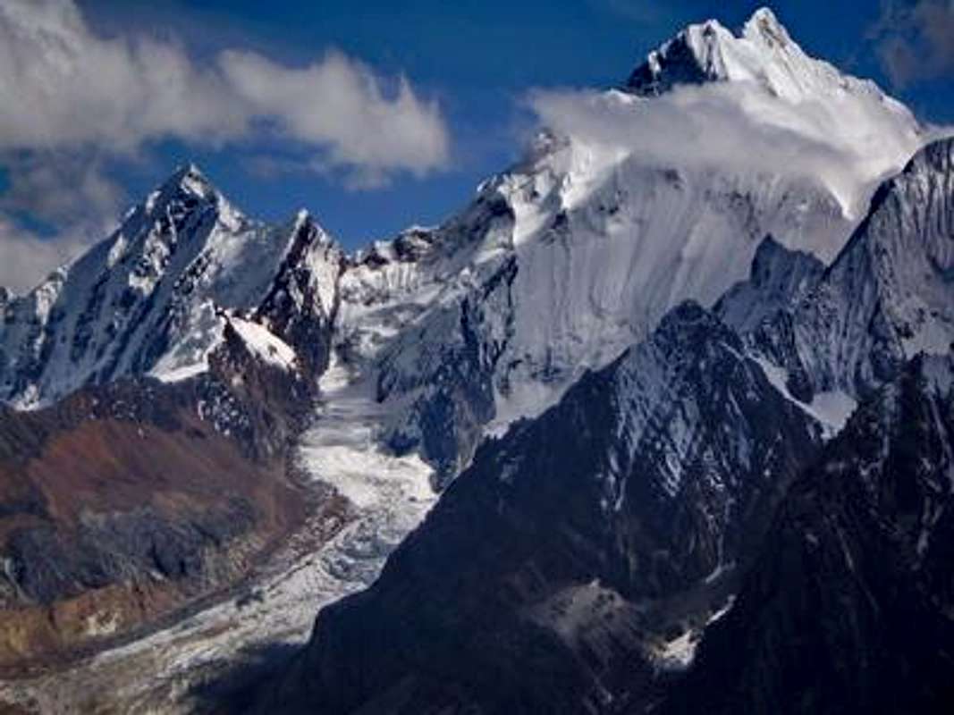
6127 meters high Nevado Sarapo
The way along Rio Calinca to Huayllapa was endless, the same way Joe Simpson and Simon Yates had chosen 1985. Their dramatic story became famous in the book and movie "Touching the Void". Huayllapa is the only village on the Huayhuash circle and the only place where food is available.

The steep way down on the northern side of the col San Antonio

The camp on a soccer field in Huayllapa