Stats
Total mileage from campsite about 5 miles, elevation gain approximately 3600'.
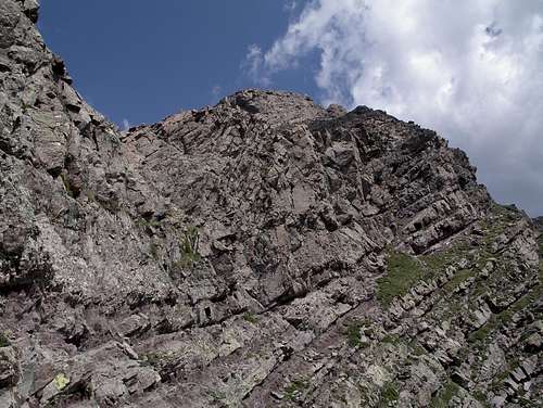
The starting point
Arriving late one evening on a busy weekend, the first task was to find a campsite near Willow Lake. Although a small group, our 2 tents barely fit in the little hovel that we found. My door opened into a tree, and my tent-mate’s door opened to a large rock. But the view was magnificent!
![Sunset at Willow Lake]() Sunset at Willow Lake
Sunset at Willow LakeThe Tour
We started at 6 a.m. from around 11,600 and followed the Mt Adams trail up the valley. At 13 S 446249 4206069 we left the trail and headed west up a lovely grassy slope toward unnamed 13,546. On the way up we were greeted by a small herd of big horn sheep who seemed to be reluctant to pose for us, despite our pleading. We arrived at the peak at 8:39 a.m.
![Big Horn sheep on 13546]() Big Horn Sheep Big Horn Sheep
|
![Unnamed point 13546]() Unnamed Point 13546 Unnamed Point 13546
|
After a brief snack and photo session, we descended to the east towards Mt Adams. At the saddle, we passed the point where the trail joins the Mt Adams trail from the valley, then ascended, following
these excellent directions
We arrived here around 11 a.m.
![Mt Adams]() Mt Adams
Mt Adams
We deposited a new register, had a snack, then headed towards Unnamed Point 13,580. On the way down, we met a wise man who told us the best way to cross the deep valley between Mt Adams and Unnamed 13,580. As you near a large pointed rock, there is a big notch to your left (east) at 13 S 446925 4206550. Descend about 15 – 20’ to the northeast over a somewhat grassy area. Then head south along a well-worn but precarious ledge. Do not descend too far! After crossing the ledge and turning the corner (right) back to the ridge, the rest of the path is obvious. As you ascend Unnamed 13,580, stay as close as possible to the top of the ridge.
![Mt Adams notch]() Mt Adams notch as seen from the south (after crossing)
Mt Adams notch as seen from the south (after crossing)
Although less than a mile between these last 2 peaks, that section was the most tedious of all. Lunch-thirty brought us to Point 13,580. The register there is a plastic jar of some type, placed by Gerry and Jennifer Roach. Someone had left a few chocolate treats inside which probably explained the abundance of tiny teeth marks on the jar.
From this point we headed west down the ridge, then northwest into the valley, replying to our aching feet by following the soft grassy areas. On the return we stuck to the east side of the valley for some different views, then over the ridge above Willow Lake and back to our ledge-like camp above the lake.
![Descending 13580]() Descending from Unnamed 13580 to camp
Descending from Unnamed 13580 to campThe Route
The gpx file is at the top of this trip report.
![Mt Adams route]() The Route
The Route
Comments
No comments posted yet.


 Big Horn Sheep
 Unnamed Point 13546