-
 11195 Hits
-
 75.81% Score
-
 6 Votes
|
|
Route |
|---|---|
|
|
45.75274°N / 114.41919°W |
|
|
Scrambling |
|
|
Spring, Summer, Fall |
|
|
Less than two hours |
|
|
Moderate |
|
|
Class 3 |
|
|
I |
|
|
Overview
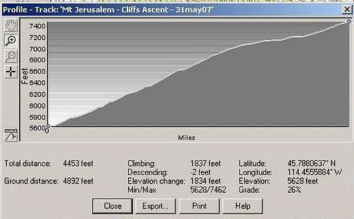
Class – Class 3 Elevation - 7,462' Gain – 1,834’ Distance – .83 mile (one way) Length of time required to complete this "partial" route – 1.5 hours
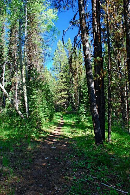
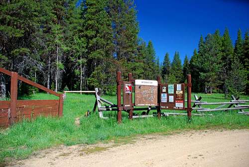
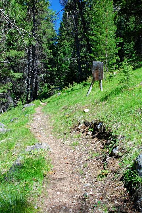
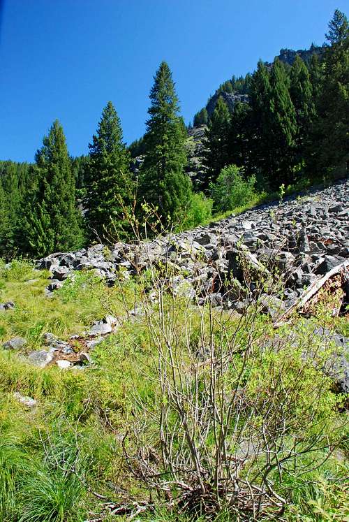
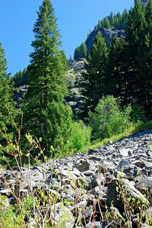
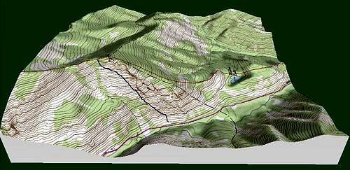
During 2006, when I first climbed Mt Jerusalem, I used a route which I’ve chosen to describe as "standard." However, I did not particularly care for certain portions of the route as it passed through thick forest cover while climbing very steeply. One of the things which attracts me to mountains is the chance to experience wide-open views. Early portions of the standard route to the Mt Jerusalem summit don’t offer that. I decided to find at least one alternate route which bypassed the thickest sections of forest. So, with that in mind, I spent time studying my topo maps, then when winter loosened its grip, I hit the trail. A few weeks ago, May 11, 2007, I took a leisurely hike along the Watchtower Creek trail to get a good look at the actual terrain depicted by the topo maps. As it turned out, several of my topo-inspired ideas looked promising. This route is the result of one of those ideas. For me it provides two things the "standard" route does not – stunning vistas most of the way, and the opportunity for more climbing at or near the Class 3 level. Getting ThereFrom Hwy 93 take Montana Hwy 473 (West Fork Road) west for 14.3 miles to the junction with Nez Perce Road (468). Follow the Nez Perce Road for 9.2 miles to the signed turnoff for Watchtower Creek Trail (142). Turn right (northwest) onto FR road 5638 and follow it .4 mile to the trailhead loop. There is a spacious clearing with plentiful parking. There is an outhouse plus stock facilities at the trailhead. Route DescriptionThe Approach - Watchtower Creek Trailhead to the Base of the Cliffs Ascent The approach for this route begins at the Watchtower Creek Trailhead and heads northwest over a nice, gently-inclined, easy-to-follow trail for just over three miles. The route then leaves the official trail and begins ascending more steeply as it traverses on a series of ledges along the lower portions of a series of cliff bands. Before reaching this point of departure, the trail crosses Watchtower Creek twice, the first time on a good bridge though the second crossing requires a bit of wading when the water is high. (Someone has made a small log bridge for the second crossing, but it doesn’t look like it will last more than a few years. But for the present it will keep your feet dry.) After the second crossing (about 1.1 miles from the trailhead), look to your right for an open slope of grass and talus heading upward from the edge of the trail. This is where you would begin climbing if you take the standard South Ridge route. Instead, continue along the well-defined trail in a north-northwest direction for another 2 miles. The rail passes through open forest and offers nice views of the nearby canyon walls. You will pass into official wilderness, marked by a sign to the right of the trail. Slightly before you reach an elevation of 5,600’, on you right (north-northeast) you will see a series of cliff bands leading up toward the ridge-crest. This route follows mostly along the lower edge of these cliffs as it does a climbing traverse to the ridge-crest where it joins the standard Mt Jerusalem South Ridge route. The Climbers’ Route - Watchtower Creek Trail to Mt Jerusalem Ridge-Crest Just after passing 5,600’ you will see a talus field descending almost to the right edge of the trail. This is where the climber’s route begins. If you’re using a GPS you should be near 45.75274 north and 114.41919 west. Begin climbing west-northwest up the talus slope. When you reach the top edge (just a few hundred feet), begin veering to your left (slightly more northward). You will see a fairly dense willow thicket. By looking closely, I found a way around it – uphill and closer to the cliffs. The day I climbed there was a lot of water running down the rocks causing them to be very slippery. It took a bit of careful route finding to bypass the slickest sections, but it was doable. Take your time if you meet similar conditions. On an incline like this one, it doesn’t take much of a fall to break bones. For the most part this route proceeds in a northeasterly direction as it traverses along the lower edge of the cliff bands. It passes through sections of forest, brush, and over some talus. But mostly, it stays on the good solid granite ledges that run along the cliffs. A point of interest. Until you are very close, you cannot see the ridge-crest. A time or two you might think you do, but you’d be mistaken. What you do see are portions of the ridge top, but they’re not where you’re going to end up. This is a long traverse and it will test your lungs and legs. Still, in my opinion, it’s a much better route than the "standard." One final point. I climbed this route the last day of May and it was very enjoyable. But, there is plenty of moisture seeping from the cliffs above the route. I’m guessing that summer could bring a serious flush of plant growth, making portions of this route more of a bushwhack. Just a word of warning; I think it would still be doable. Essential GearSturdy footwear is recommended for this ascent. The route is mostly on rock, though you will have to bushwhack through light forest and a small amount of fairly thick underbrush part of the way. And remember, you’re going to be side-hilling, always tough on the ankles if you don’t have appropriate shoes. When to GoThis route should be doable from after the snow melts off of the cliffs in the spring until late fall when it again blankets the ledges.Route Statistics |


