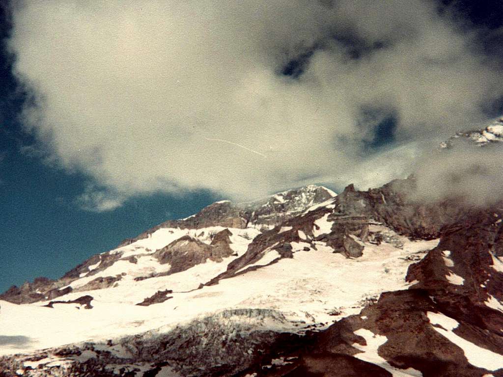
Cloud's Kiss for Mount Rainier
On September 6, 1982, a cloud is seen
kissing the southwestern slopes of Mt. Rainier in Washington's Pierce County.
In August 1967, South Tahoma Glacier was
the site of a spectacular glacial event.
According to witnesses, water stored inside
the glacier burst through the glacier's
surface at the 7,000-foot level. A current
of water swiftly severed the lower glacier
into two halves. But what began as a
jokulhlaup soon became a lahar. The mixture
of rocks, trees, mud and water resembled
concrete. Imagine the surprise of Park
Rangers as the slurry swept over picnic
tables and roads in the former Tahoma
Creek Campground - and their relief that
the area had been evacuated the evening
before because of high forest fire hazard!
No human lives were lost, but the campground
and the glacier's terminus were devastated.
And all this happened approximately 13 years
BEFORE the significant May 1980 eruption of
Mount Saint Helens.
-Source by Carolyn Driedger, 1986
-Photo by lcarreau on Pyramid Peak, 1982


