

visentin - Jan 12, 2009 4:34 am - Voted 10/10
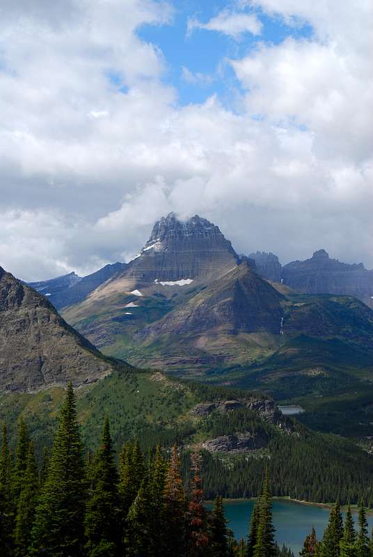
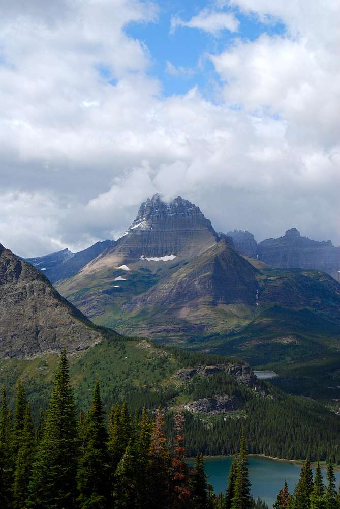
foehnsuperb illustration of foehn effect :)

distressbark - Jan 15, 2009 5:52 am - Hasn't voted
thanksfor the positive feedback

andrew david - Mar 24, 2013 2:06 pm - Voted 10/10
Where were you?From my maps I would guess you are near Snow Moon and Falling Leaf Lakes on the side of Mount Allen. Am I right? Beautiful photograph and I also learned something from your caption. Thanks for the post.
distressbark - Mar 24, 2013 2:15 pm - Hasn't voted
Re: Where were you?You got it! This is taken from the north slopes of Allen Mountain before setting out on the high traversing game trail to Snow Moon Basin.
andrew david - Mar 24, 2013 2:42 pm - Voted 10/10
Re: Where were you?All right. I'm in the 1% of the 1% of the population who have considered that route. Do you recommend it? I am going back to GNP for 2-3 weeks in late June. Allen Mountain is on my list, but its not at the top for now.
distressbark - Mar 26, 2013 12:10 am - Hasn't voted
Re: Where were you?This route may prove to be very dangerous any time before July. The High Traverse Route involves a couple steep couloirs that if snow filled would be treacherous to cross. You could certainly slog up from the Lake Josephine approach, however.


Comments
Post a Comment